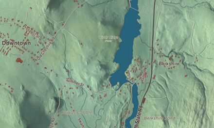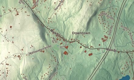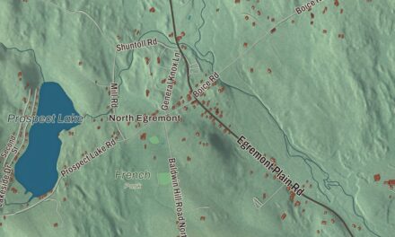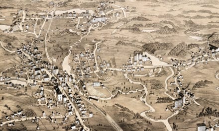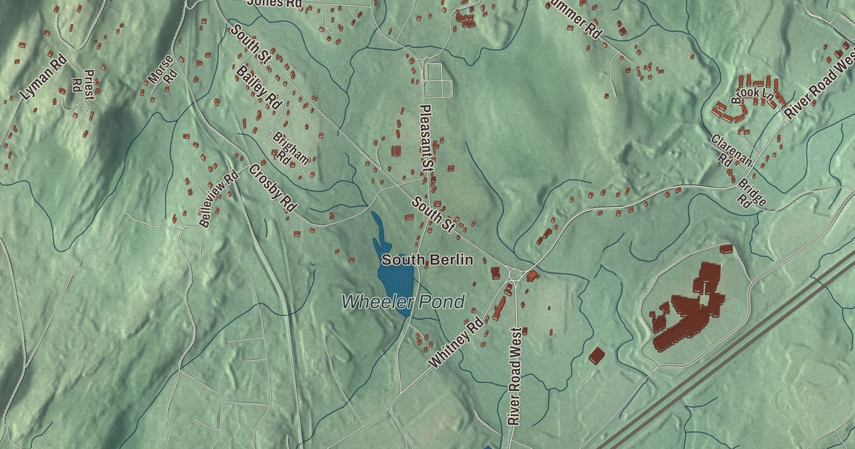
Say it the local way, BUR-lin, and you’re already halfway home: a small farm town of low hills, an 1870 town hall on the common, and Interstate 495 crossing through. This map prints Central Street, West Street, South Street, Pleasant Street, Boylston Road and Whitney Road, with Gates Pond, Wheeler Pond, Clamshell Pond, Crystal Spring, Ball Hill, Barnes Hill and Coburn Hill. Click here to purchase a print of this map for your wall.
Berlin is in Worcester County, 12 miles northeast of Worcester and 29 miles west of Boston.
KNOWOL made this map in 2026 from public survey data and gave it the look of an old atlas. United States Geological Survey elevation data gives the hills their shading, and the Census Bureau gives the roads and the town line. Berlin lies in a low range of hills between the valleys of the Nashua and Assabet rivers, covers 13.1 square miles, and had 3,158 people at the 2020 census. The town page also calls Berlin the center of population for New England.
Sholan’s land
This was Nashaway country. In 1643 the sachem Sholan sold Thomas King and his partners a large tract that later became Lancaster, Berlin, Boylston, Bolton, Sterling, Clinton and Harvard. The Town of Berlin’s recorded history, in the Secretary of the Commonwealth’s list, dates European settlement to 1665, and the town page agrees. Berlin got its name as a district in 1784, and the way people here say it, with the stress on the first syllable unlike the German city, is believed to go back to that year. Berlin was incorporated as a town in 1812, and the town remains part of Worcester County today.
Asparagus, hops and eggs
Berlin was a farming town. Its people grew hay and grain and raised cattle, and for a time after the Civil War a large shoe factory and the lumber trade gave other work. Then the town turned to market gardening. In 1885 Berlin sent 41,000 bunches of asparagus to market, it grew hops, and it raised chickens; by 1940 the town’s poultry farmers were producing 836,600 dozen eggs a year.
The town’s first town house went up in 1831. Its replacement, the town hall begun in 1869 and finished in 1870, stands on a lot facing the Meeting House Common that Artemas Barnes gave the town. Its Memorial Hall gathered photographs of nearly all the local soldiers lost in the Civil War, and later of other veterans, until it held the likenesses of nearly 100 Berlin men; the dead of the World Wars and Vietnam were added in the 20th century. Barnes Hall served as a schoolroom in the 1870s, the public library lived in the building from 1891 until 1928, and in 1999 a homegrown musical, Swinging Into the Millennium, played in the upper hall. Town offices moved out in 1998, but the restored hall, made accessible in 2019, still hosts meetings, scouts and contra dances.
Berlin people
Holman K. Wheeler, born in Berlin in 1859, became an architect in Lynn and designed more than 400 buildings there, among them the High Rock Tower on the Lynn city seal. Don Featherstone, born in Worcester in 1936, grew up in Berlin and went on to sculpt the pink plastic flamingo lawn ornament for Union Products; the town page says he’s buried in Berlin.
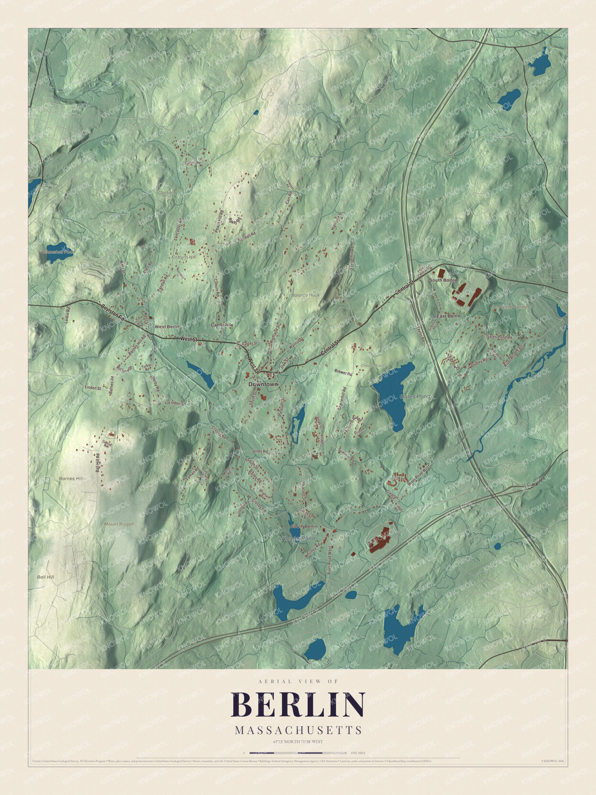
Click to explore a larger preview. The digital watermark does not appear on printed maps.
Names on this map
These names are printed on this map.
Places: Downtown, South Berlin, West Berlin, Ball Hill, Barnes Hill, Coburn Hill, Mount Pisgah, Clamshell Pond, Crystal Spring, Gates Pond, Wheeler Pond, Balance Rock Farm, Chedco Farms, Garfield Woods, Carterville, East Berlin and South Bolton.
Streets and roads: West Street, Central Street, Boylston Road, River Road West, River Road East, South Street, Whitney Road, Pleasant Street, Sawyerhill Road, Randall Road, Linden Street, Crosby Road.
More street names, A to Z
Allen Road, Autumn Ridge, Bailey Road, Baker Road, Ball Hill Road, Barnes Hill Road, Barnes Road, Belleview Road, Bigelow Drive, Brewer Road, Bridge Road, Brigham Road, Brook Lane, Captiva Road, Carr Road, Carter Street, Clarenan Road, Coburn Road, Collins Road, Derby Road, Dudley Road, Estabrook Lane, Fosgate Road, Gates Pond Road, Highland Street, Jones Road, Lancaster Road, Larkin Road, Lincoln Road, Lyman Road, Marlboro Road, Morse Road, Oak Street, Old Central Street, Peach Hill Road, Priest Road, Richard Drive, Roseberry Road, Sawyer Road, Summer Road, Taylor Road, Turner Road, Village Court, Village Lane, Walnut Street.
See it on a wall
The Berlin map as a framed print. Swipe for more.


Around the map
The Assabet River passes through Berlin on its 34-mile run from Westborough to Concord, and Interstate 495 and Route 62 cross the town. To the south, the trails of the Mount Pisgah Conservation Area in Northborough reach Linden Street in Berlin. Start in South Berlin, then follow Central Street, West Street, South Street, Pleasant Street, Boylston Road and Whitney Road out toward West Berlin, Carterville, East Berlin and South Bolton. Clamshell Pond, Gates Pond, Wheeler Pond, Ball Hill, Barnes Hill, Coburn Hill and Crystal Spring are all printed on the map.
This Berlin map makes a fine addition to an office, library or den, and it can help teach children the geography and history of the town in the hills between two river valleys. It’s made for people who call Berlin home, from South Berlin to Carterville, and it shows the town as it looks today. Zoom in on the preview above to explore the details, then click here to get your copy of the Berlin, Massachusetts map.

Sources