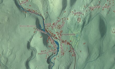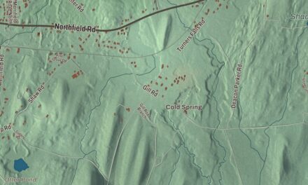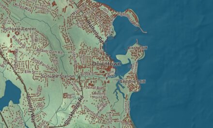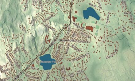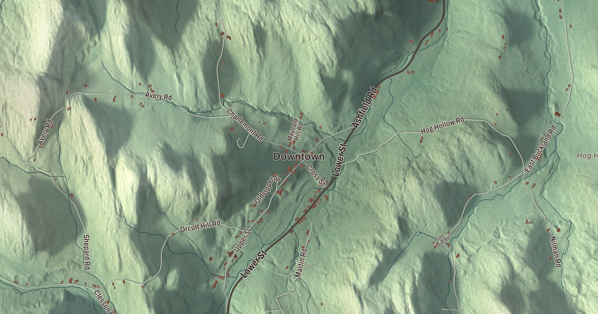
Buckland takes in half of Shelburne Falls on the Deerfield River, and behind it the Clesson Brook valley and the hills on either side. This map prints the Mohawk Trail, State Street, Conway Street, Ashfield Road, North Street and Lower Street, with the Deerfield River, Flag Mountain, Goodnow Hill, Drake Hill and Hog Hollow. Click here to purchase a print of this map for your wall.
Buckland is in Franklin County, 13 miles west of Greenfield.
KNOWOL made this map in 2026 from public survey data and gave it the look of an old atlas. The relief comes from United States Geological Survey elevation data, and the roads and the town line come from the Census Bureau. Buckland covers 19.9 square miles, bounded on the north and east by the Deerfield River. Clesson Brook and Clark Brook run north through town to the river, Clesson Brook carving the main valley, with Walnut Hill and Snow Mountain on the west side and Mary Lyon Hill and Moonshine Hill between the two brooks. The town had 1,816 people at the 2020 census.
No Town
Before it had a name, this was “No Town,” land that belonged to neither Charlemont nor Ashfield’s village. The town page dates the first settlement to 1742, when Othneil Taylor and Asaph White set up a sawmill, and settlers followed. The people who lived here didn’t want to cross the Deerfield River or make the long trip to Ashfield Village for church, so they asked the General Court to make them a town of their own. The Town of Buckland’s recorded history, in the Secretary of the Commonwealth’s list, dates European settlement to 1779, and Buckland was incorporated as a town that same year, on April 14. The name was presumably chosen for the good hunting here. The town remains part of Franklin County today.
Mary Lyon
Buckland’s best-known daughter was born here in 1797, to a farming family. Mary Lyon’s father died when she was five, and the whole family worked the farm. When she was thirteen her mother remarried and moved away, and Mary stayed behind to keep house for her brother Aaron. She went to district schools when she could and began teaching in them at 17, later running a small school of her own in Buckland.
She went on to help found Wheaton Female Seminary in Norton, writing its first curriculum with the aim of matching the men’s colleges. Then she raised the money, carried in a green velvet purse, for a seminary of her own. Mount Holyoke Female Seminary opened in South Hadley in 1837, and she led it for 12 years. She kept tuition to $60 a year so that girls from modest families could come, had the students share the housework to hold costs down, and required seven courses in science and mathematics to graduate. Her seminary is now Mount Holyoke College, and her page calls her an American pioneer in women’s education.
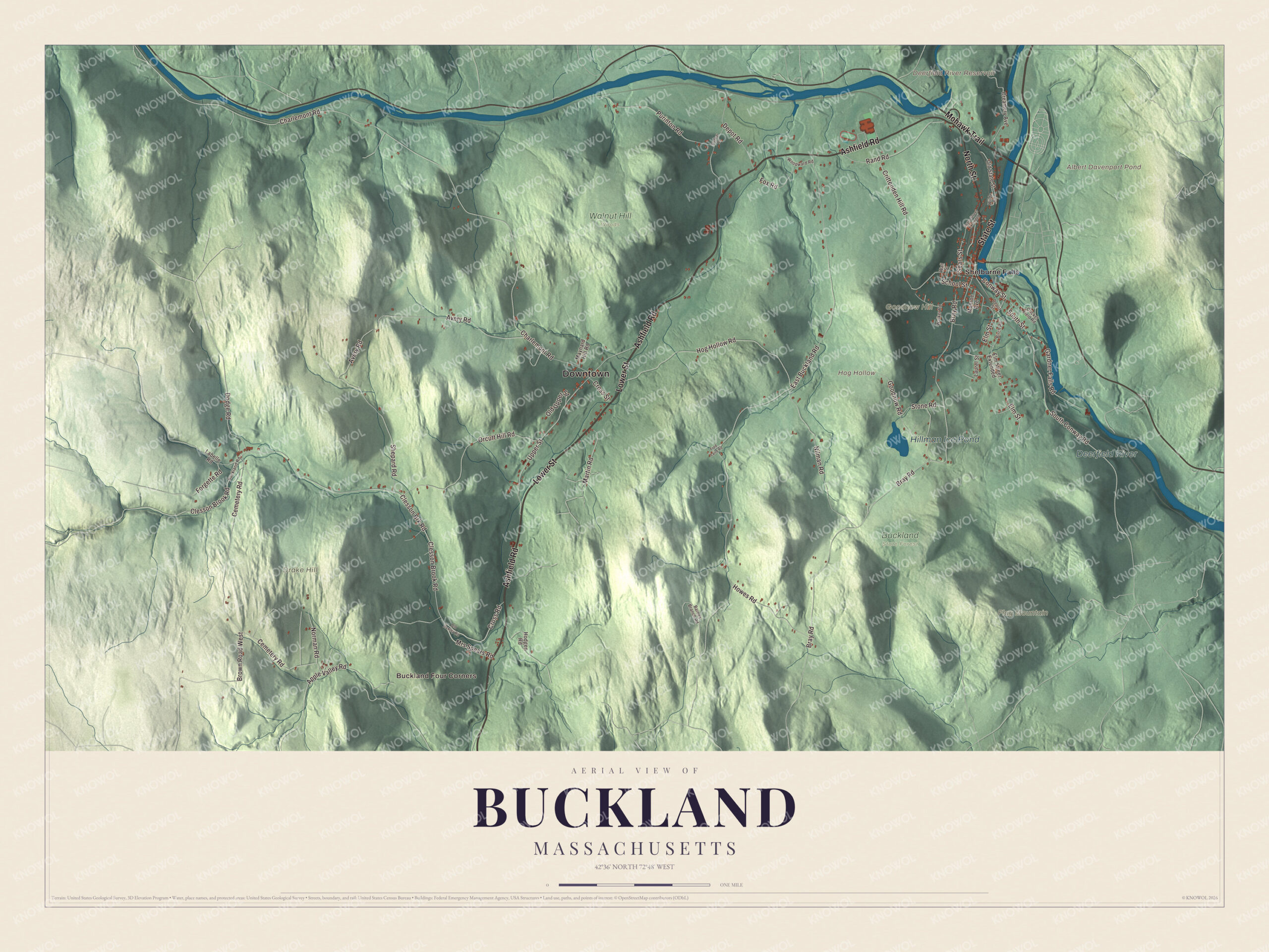
Click to explore a larger preview. The digital watermark does not appear on printed maps.
Names on this map
These names are printed on this map.
Places: Downtown, Buckland Four Corners, Drake Hill, Flag Mountain, Goodnow Hill, Hog Hollow, Albert Davenport Pond, Deerfield River Reservoir, Hillman Ice Pond, Deerfield River, Buckland State Forest, Walnut Hill Woods and Shelburne Falls.
Streets and roads: Ashfield Road, Lower Street, State Street, North Street, Mohawk Trail, Conway Street, Elm Street, Upper Street, South Street, South Conway Road, Clesson Brook Road, Bray Road.
More street names, A to Z
Apple Valley Road, Avery Road, Barnes Branch Road, Birch Road, Brown Road West, Buckland Road, Cemetery Road, Charlemont Road, Clesson Brk Road, Creamery Avenue, Cricket Field Road, Crittenden Hill Road, Cross Road, Cross Street, Depot Road, Depot Street, Dodge Road, Dunbar Road, East Buckland Road, Elm Street Extended, Forgette Road, Fox Road, Fred Laird Road, Gardner Falls Road, Goodnow Road, Hodgen Road, Hog Hollow Road, Howes Road, Labelle Road, Laurel Street, Martin Road, Maynard Hill Road, Monroe Avenue, Mrs Spears Road, Nilman Road, Norman Road, Old Hawley Road, Old State Street, Old Upper Street, Orcutt Hill Road, Purinton Road, Rand Road, School Street, Sears Street, Sears Street Extended, Shepard Road, Stone Road, Walker Road, Wall Street, Wilde Road, Woodward Road.
See it on a wall
The Buckland map as a framed print. Swipe for more.


Shelburne Falls and the river
Buckland shares the village of Shelburne Falls with Shelburne, across the Deerfield River, and Buckland’s town offices, police station and fire station are all there. The village’s best-known sights sit right on the river: the Bridge of Flowers, a former trolley bridge now planted as a floral display, and the glacial potholes. Buckland’s town center at Shelburne Falls sits at the western end of the Bridge of Flowers. In the 1830s Silas Lamson, who had patented a curved scythe handle, founded the Lamson & Goodnow cutlery company in Shelburne Falls with two of his sons and Abel Goodnow; by the Civil War it had more than 500 workers.
The Deerfield River runs 76 miles from southern Vermont to the Connecticut River, falling nearly 1,100 feet over 50 miles, and it’s one of the most heavily dammed rivers in the country, with 10 dams along its course. People come to it for whitewater kayaking, canoeing, tubing, fishing and swimming.
Around the map
Start at Buckland Four Corners, then follow Ashfield Road, Lower Street, State Street, North Street, the Mohawk Trail and Conway Street across town, and look outward toward Shelburne Falls. A short piece of Route 2, the Mohawk Trail, crosses the northeast corner of Buckland. The trail began as a Native American trade route linking the Atlantic tribes with those of upstate New York, and today’s highway follows much of it along the Deerfield and over the Hoosac Range. There’s a park and ride lot on Route 2 near the bridge to Shelburne Falls, and south of the river the freight line runs from Conway toward the Hoosac Tunnel. The Buckland Public Library and the post office sit near the geographic center of town. Albert Davenport Pond, Hillman Ice Pond, the Deerfield River, Drake Hill, Flag Mountain, Goodnow Hill, Hog Hollow and the Deerfield River Reservoir are all printed on the map.
Buckland’s map makes a fine addition to an office, library or den, and it can help teach children the geography and history of Mary Lyon’s hometown. It’s made for people who call Buckland home, and it shows the town as it looks today. Zoom in on the preview above to explore the details, then click here to get your copy of the Buckland, Massachusetts map.

Sources