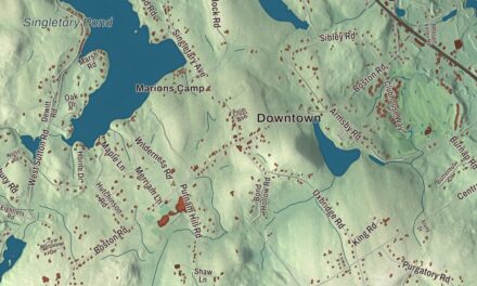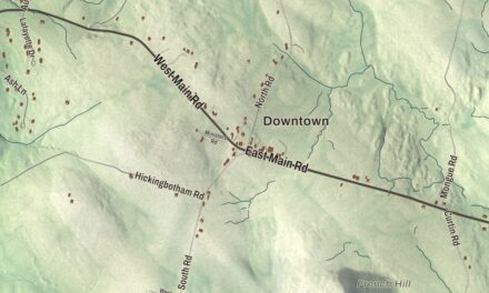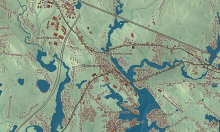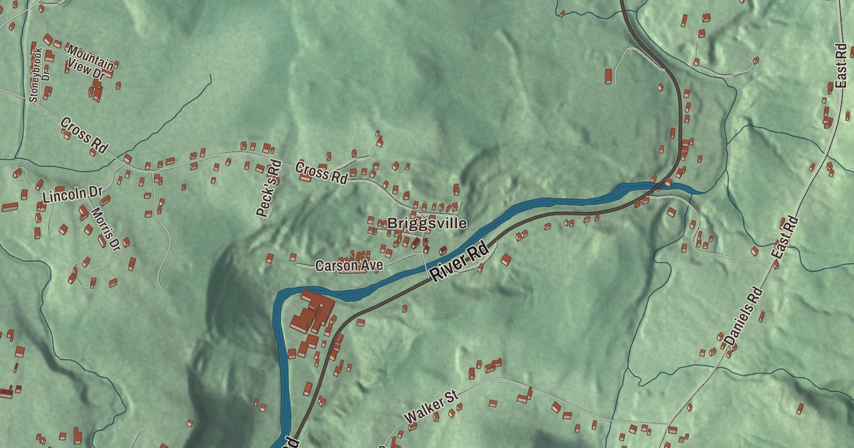
Clarksburg is a valley town on the Vermont line, tucked between two mountain ranges, with Route 8 as its main road and the North Branch of the Hoosic River running down the valley. This map prints River Road, Middle Road, North Houghton Street, North Eagle Street, Millard Avenue and McLagen Drive, with Mauserts Pond, Choquettes Pond, the North Branch Hoosic River and the Florida State Forest. Click here to purchase a print of this map for your wall.
Clarksburg is in Berkshire County, bordered by Pownal and Stamford, Vermont, to the north.
KNOWOL made this map in 2026 from public survey data and gave it the look of an old atlas. The relief comes from United States Geological Survey elevation data, and the roads and the town line come from the Census Bureau. Clarksburg covers 12.8 square miles, nearly all of it land, with Florida to the east, North Adams to the south and Williamstown to the west. The town had 1,657 people at the 2020 census.
Nicholas Clark’s town
The Town of Clarksburg’s recorded history, in the Secretary of the Commonwealth’s list, dates European settlement to 1764. The town’s page credits Captain Matthew Ketchum, Colonel William Bullock and Nicholas Clark with settling the area in 1769, and the town is named for Clark. Clarksburg was incorporated as a town in 1798, and the town remains part of Berkshire County today.
Clarksburg began as a mostly farming community. In the 1800s mills went up along the streams, the biggest of them one that made cashmere, and during the Civil War several mills here supplied gunpowder. Today the town keeps its own library, the Clarksburg Town Library, part of the regional library system.
Between the ranges
Mountains wall the town on two sides, East Mountain and Bald Mountain on the west and the Hoosac Range on the east. Down the valley between them run Hudson Brook and the North Branch of the Hoosic River, which meet just south of the town line. The Hoosic itself, whose name comes from an Algonquian word read either as “the beyond place” or “the stony place,” flows on to the Hudson. The Appalachian Trail crosses Clarksburg from north to south, passing just west of the summit of East Mountain, at 2,300 feet the highest point in town. Route 8 is the only state route through town and its main road, and in the southeast corner the Mohawk Trail’s popular hairpin turn sits just inside the town line, with its lookout over North Adams and the Taconic Mountains.
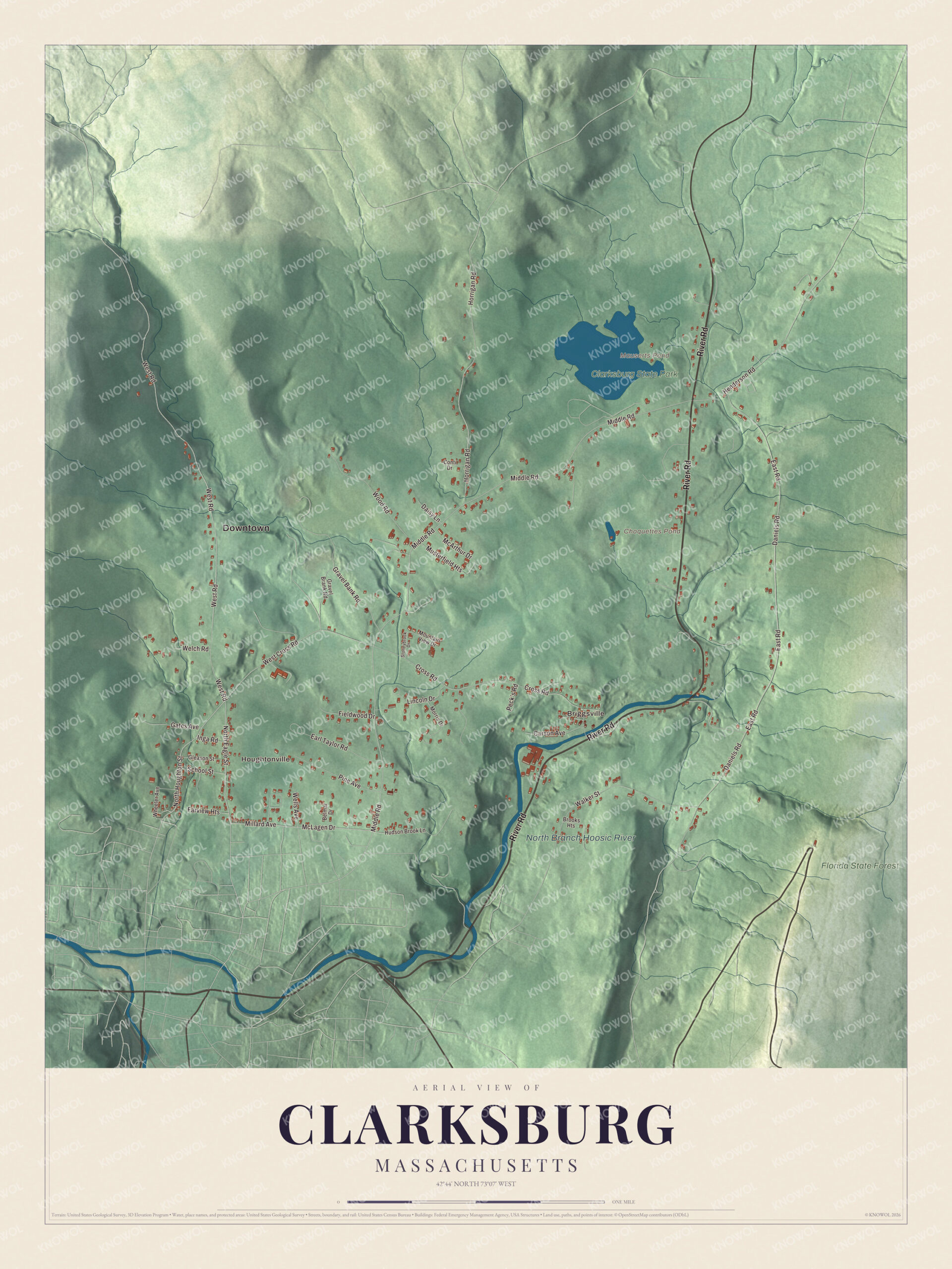
Click to explore a larger preview. The digital watermark does not appear on printed maps.
Names on this map
These names are printed on this map.
Places: Downtown, Briggsville, Houghtonville, Choquettes Pond, Mauserts Pond, North Branch Hoosic River, Clarksburg State Park and Florida State Forest.
Streets and roads: River Road, North Houghton Street, North Eagle Street, McLagen Drive, Millard Avenue, Middle Road, Henderson Road, West Road, West Cross Road, Daniels Road, East Road, Horrigan Road.
More street names, A to Z
Belmar Drive, Brooks Heights, Carson Avenue, Conti Drive, Cross Road, Daisy Lane, Earl Taylor Road, Farview Heights, Fieldwood Drive, Gates Avenue, Gleason Street, Gravel Bank Road, Gravel Brank Road, Hudson Brook Lane, Inga Road, Lincoln Drive, McArthur Drive, Morris Drive, Mountain View Drive, Musterfield Heights, Peck's Road, Pine Avenue, School Street, Stoneybrook Drive, Walker Street, Welch Road, Wells Avenue, Wheeler Avenue, Wood Road.
See it on a wall
The Clarksburg map as a framed print. Swipe for more.


Clarksburg State Park
The northern part of the valley belongs to Clarksburg State Park, 368 acres of northern hardwood forest run by the state’s Department of Conservation and Recreation, with views of the Hoosac Range, Mount Greylock and the Green Mountains. The park is home to Mauserts Pond, with a pavilion and picnic grounds, swimming, fishing, canoeing and kayaking. The park has 4.5 miles of trails, among them the 3-mile Pond Loop Trail for hiking and cross-country skiing, and a 46-site campground. On the Vermont side of the border lies the Green Mountain National Forest.
Around the map
Start with Briggsville, then follow River Road, North Houghton Street, North Eagle Street, McLagen Drive, Millard Avenue and Middle Road across town, and look outward toward Houghtonville. Choquettes Pond, Mauserts Pond, the North Branch Hoosic River and the Florida State Forest are all printed on the map.
The Clarksburg map makes a fine addition to an office, library or den, and it can help teach children the geography and history of the valley where they grew up. It’s made for people who call Clarksburg home, from Briggsville to Houghtonville, and it shows the town as it looks today. Zoom in on the preview above to explore the details, then click here to get your copy of the Clarksburg, Massachusetts map.

Sources