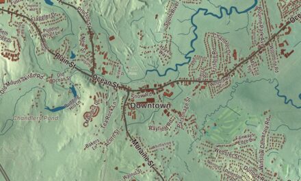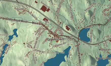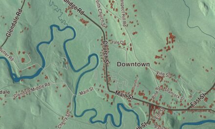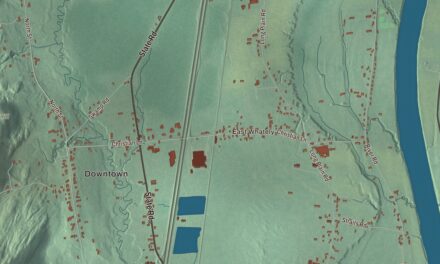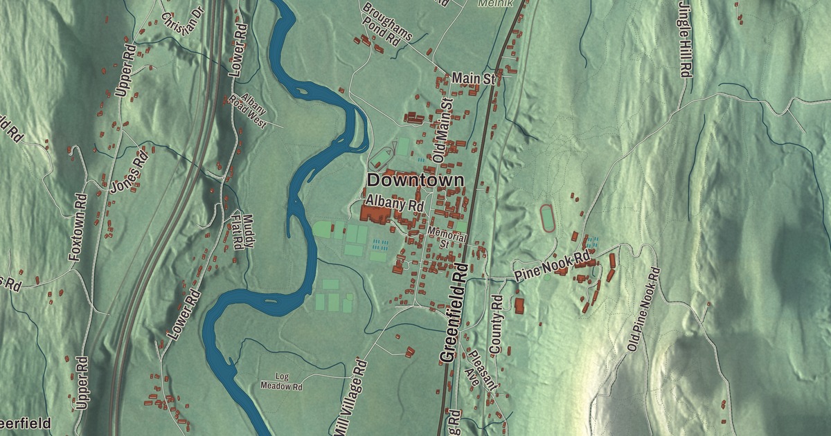
Deerfield lies in the Pioneer Valley on the Connecticut River, from the mile-long old street of Old Deerfield to the village of South Deerfield and the cliffs of Sugarloaf Mountain. This map prints Greenfield Road, Conway Road, Sunderland Road, Sugarloaf Street, North Main Street and Mill Village Road, with Chard Pond, Clapp Pond, Whitmore Pond, the Roaring Brook Reservoir, the Tabak Memorial Forest and Great Hill. Click here to purchase a print of this map for your wall.
Deerfield is in Franklin County, 8 miles south of Greenfield.
KNOWOL made this map in 2026 from public survey data and gave it the look of an old atlas. The relief comes from United States Geological Survey elevation data, and the streets and the town line come from the Census Bureau. Deerfield covers 33.4 square miles, with Greenfield to the north, Montague to the northeast, Sunderland to the southeast, Whately to the south, Conway to the west and Shelburne to the northwest. The Deerfield River meets the Connecticut at the town’s northern point, and the Connecticut forms its eastern border. The town had 5,090 people at the 2020 census.
Pocumtuck, and a grant to Dedham
When English colonists arrived, this fertile stretch of the valley was home to the Pocumtuck nation, who had a major village of the same name. The land came to the colonists by way of Dedham: when the General Court gave 8,000 acres of Dedham’s land to the Christian Native community at Natick, it granted Dedham 8,000 acres elsewhere in return, and Dedham chose this place, then called Pocomtuck. John Pynchon got a deed from Pocumtuck men, among them one named Chaulk who, the town’s page says, had no authority to sign the land away. Lots were drawn on May 23, 1670. The Town of Deerfield’s recorded history, in the Secretary of the Commonwealth’s list, dates European settlement to 1673, the year the General Court set Deerfield apart from Dedham, on May 7. Deerfield was incorporated as a town in 1677, and the town remains part of Franklin County today.
For decades Deerfield was the northwesternmost outpost of New England settlement, and its early years were hard: it was abandoned during King Philip’s War, and in the raid of February 29, 1704, French and Native forces burned much of the village and carried more than 100 people captive to Canada. In 1753 Greenfield was set off from it, and in the 1800s its farms lost ground to the Midwest. Later in the century South Deerfield and other villages took in a wave of Polish immigrants, who built their own churches and a community later known as Old Polonia.
Lucy Terry Prince
Lucy Terry was taken from Africa as an infant and enslaved, and at about age five she was brought to Deerfield, to the household of Ebenezer Wells. In 1746 she composed “Bars Fight,” a ballad about a raid that August in a Deerfield meadow called the Bars. It was passed down by word of mouth until it was published in 1854, and it’s considered the oldest known work of literature by an African American. In 1756 she married Abijah Prince, a free Black man from Curaçao who had bought her freedom, and in 1764 they settled in Guilford, Vermont, where all six of their children were born. She was famous in her own time for her rhymes and stories.
Old Deerfield
In the late 1800s Deerfield rediscovered its past. Residents founded the Pocumtuck Valley Memorial Association in 1870, led by the historian George Sheldon, and in 1880 it opened Memorial Hall Museum in the 1798 building designed by Asher Benjamin as the first home of Deerfield Academy; it was the first museum in the United States to create a permanent period room. In 1890 Charlotte Alice Baker came home to restore her family’s Frary House, one of the first historic preservation projects in western Massachusetts. Today Old Deerfield is a National Historic Landmark district, and Historic Deerfield, founded by Henry and Helen Flynt, who first came to Deerfield in 1936 when their son was at the academy, runs eleven house museums along its mile-long street, among them the 1734 Ashley House and the 1799 Stebbins House. Deerfield Academy itself, chartered in 1797 under Governor Samuel Adams, is one of the oldest secondary schools in the country. Click here to learn more about the history of Deerfield.
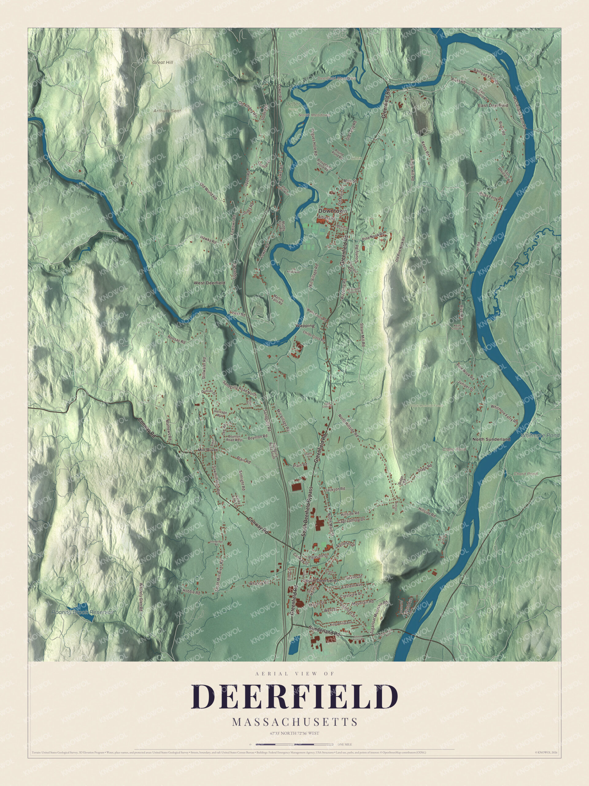
Click to explore a larger preview. The digital watermark does not appear on printed maps.
Names on this map
These names are printed on this map.
Places: Downtown, East Deerfield, Arthurs Seat, Deerfield Meadows, Great Hill, North Meadows, Chard Pond, Clapp Pond, Roaring Brook Reservoir, Whitmore Pond, Melnik, Peffer Farm, Tabak Memorial Forest, Mill River, North Sunderland, South Deerfield, Wapping and West Deerfield.
Streets and roads: South Deerfield Bypass, Greenfield Road, Conway Road, Sunderland Road, Sugarloaf Street, North Main Street, Mill Village Road, Jones Road, River Road, Lower Road, Upper Road, Pine Nook Road.
More street names, A to Z
Albany Road, Albany Road West, Allen Drive, Baker Lane, Beaver Drive, Boynton Road, Boynton Road West, Braeburn Road, Broughams Pond Road, Capt Lathrop Drive, Childs Cross Road, Christian Drive, Clark Cross Road, Conway Street, County Road, Crestview Drive, Duncan Drive, East Deerfield Road, Easterly Access Road, Eastern Avenue, Elm Circle, Evans Lane, Foxtown Road, Graves Street, Greenough Crossing Road, Hawks Road, Heritage Way, Hillcrest Avenue, Hillside Road, Hobbie Road, Hoosac Road, Jackson Road, Jingle Hill Road, Juniper Drive, Keets Road, Keith Cross Road, Kelleher Drive, King Philip Avenue, Lee Road, Log Meadow Road, Main Street, Martins Falls Road, Mathews Road, McClelland Farm Road, Memorial Street, Mountain Road, Muddy Flat Road, North Hillside Road, North Street, Oak Knoll Drive, Old Albany Road, Old Ferry Road, Old Main Street, Old Pine Nook Road, Old World Road, Plain Road, Pleasant Avenue, Pleasant Street, Pogues Hole Road, Railroad Yard Road, Rices Ferry Road, Ridge Road, River Road North, Round Pond Road, Sandgully Road, Sandgully Road North, Sandgully Road South, Sawmill Plain Road, Settright Road, South Main Street, South Mill River Road, Stage Road, Steam Mill Road, Stillwater Road, Stockbridge Road, Sugarloaf Mountain Road, Thayer Street, Valley View Lane, Wapping Road, Ward Avenue, Wells Cross Road, West Street, Whately Glen Road, Whately Road, Whitmore Ferry Road.
See it on a wall
The Deerfield map as a framed print. Swipe for more.


Around the map
Start with East Deerfield, then follow Greenfield Road, Conway Road, Sunderland Road, Sugarloaf Street, North Main Street and Mill Village Road across town, and look outward toward Mill River, North Sunderland, South Deerfield, Wapping and West Deerfield. In the southeast corner, Sugarloaf Mountain, whose original Native name is Wequamps, rises 500 to 600 feet above the Connecticut, its arkose sandstone cliffs visible for miles, and it’s the southern end of the Pocumtuck Range. Its name comes from the loaf shape sugar was once molded into for shipping. South Deerfield is home to the headquarters of Yankee Candle, the country’s largest candle maker. Interstate 91 runs north and south through the middle of town alongside Routes 5 and 10, and Route 116 crosses the Connecticut at the Sunderland Bridge. Chard Pond, Clapp Pond, the Roaring Brook Reservoir, Whitmore Pond, the Tabak Memorial Forest and Great Hill are all printed on the map.
Deerfield’s map makes a fine addition to an office, library or den, and it can help teach children the geography and history of one of New England’s old frontier villages. It’s made for people who call Deerfield home, from Old Deerfield to South Deerfield, and it shows the town as it looks today. Zoom in on the preview above to explore the details, then click here to get your copy of the Deerfield, Massachusetts map.

Sources
- Deerfield, Massachusetts, Wikipedia
- Lucy Terry, Wikipedia
- Bars Fight, Wikipedia
- Historic Deerfield, Wikipedia
- Memorial Hall Museum, Wikipedia
- Deerfield Academy, Wikipedia
- Sugarloaf Mountain (Massachusetts), Wikipedia
- Yankee Candle, Wikipedia
- City and Town Incorporation and Settlement Dates, Secretary of the Commonwealth of Massachusetts (archived copy)