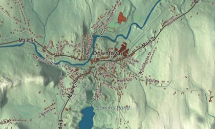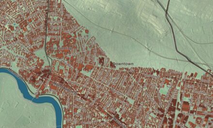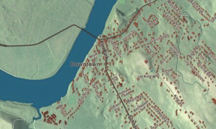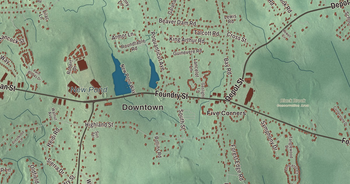
Easton is the Ames family’s town, where a shovel works made a fortune and the family gave North Easton its landmark buildings by H. H. Richardson. This map prints Washington Street, Depot Street, Foundry Street, Belmont Street, Eastman Street and Turnpike Street, with Ames Long Pond, Leach Pond, Puds Pond, Briggs Pond, Rattlesnake Hill and Stonehouse Hill. Click here to purchase a print of this map for your wall.
Easton is in Bristol County, at its northeastern corner where it meets Plymouth and Norfolk counties.
KNOWOL made this map in 2026 from public survey data and gave it the look of an old atlas. The relief comes from United States Geological Survey elevation data, and the roads and the town line come from the Census Bureau. Easton covers 29.2 square miles, with Brockton and West Bridgewater to the east, Taunton and Raynham to the south, Norton and Mansfield to the west and Sharon and Stoughton to the north. The town had 25,058 people at the 2020 census.
The East End
Before settlers came, Native people used this land for hunting and as a burial ground. The Town of Easton’s recorded history, in the Secretary of the Commonwealth’s list, dates European settlement to 1694, the year the first settler, Clement Briggs, built his home near the Easton Green. The land was the “East End” of the Taunton North Purchase; when the purchase became Norton in 1711, families here hired Elder William Pratt as their first minister in 1713, and in 1722 they were recognized as the East Precinct of Norton. Easton was incorporated as a town in 1725, its name a shortening of “East End,” and the town remains part of Bristol County today. During the Revolution, George Washington stayed at the Benjamin Williams Tavern on Bay Road, on his way to the Perry Foundry in Taunton to arrange for cannonballs; it’s now the second oldest house standing in Easton.
Shovels for the nation
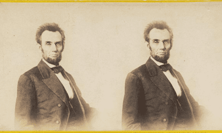
The Ames shovel business began in 1774, when Captain John Ames made iron shovels in West Bridgewater, and his son Oliver Ames Sr. moved it to North Easton in 1803. The town’s page says Ames shovels became known across the country for laying the Union Pacific Railroad and opening the West. Gold strikes in California and Australia brought worldwide demand, and during the Civil War Abraham Lincoln personally asked Oakes Ames to supply shovels to the Union Army. After a fire in 1851 the family rebuilt in granite, and the Ames Shovel Shops, built between 1852 and 1885, still stand in the North Easton Historic District, redeveloped in a scaled-down project finished in 2015. Oakes Ames served in Congress, and Oliver Ames, another of the family, was governor of Massachusetts from 1887 to 1890.
The family hired Henry Hobson Richardson, the architect of Trinity Church in Boston and originator of the Richardsonian Romanesque style. His Ames Free Library on Main Street, built from 1877 to 1879, was paid for with money left in Oliver Ames Jr.’s will, and the medallions of him inside are by Augustus Saint-Gaudens. Next door, Oakes Ames Memorial Hall, built from 1879 to 1881 as a gift to the town from the congressman’s children, has five great arches in pinkish-gray North Easton granite. Richardson also designed the Old Colony Railroad Station, now home to the Easton Historical Society, and the Ames Gate Lodge, and Frederick Law Olmsted designed The Rockery, a war memorial. Together they form the H. H. Richardson Historic District, a National Historic Landmark since 1987. A few blocks away is Unity Church, built by the Ames family in 1875, whose “Figure of Wisdom” is the largest stained-glass work John LaFarge made.
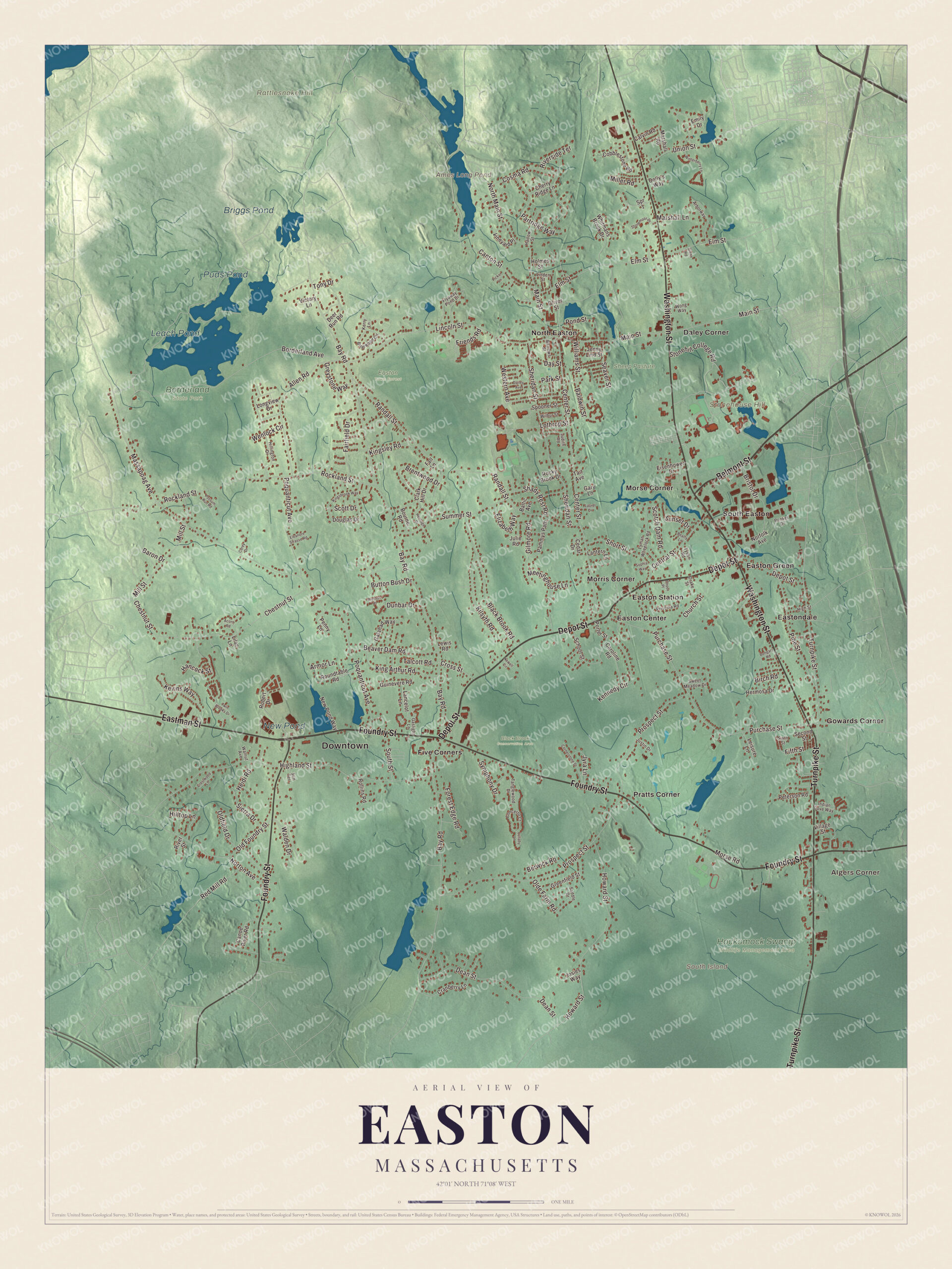
Click to explore a larger preview. The digital watermark does not appear on printed maps.
Names on this map
These names are printed on this map.
Places: Downtown, Algers Corner, Rattlesnake Hill, South Island, Stonehouse Hill, Ames Long Pond, Leach Pond, Puds Pond, Briggs Pond, New Pond, Black Brook Conservation Area, Borderland State Park, Easton Town Forest, Hockomock Swamp Wildlife Management Area, Sheep Pasture, Daley Corner, Easton Center, Easton Green, Easton Station, Eastondale, Five Corners, Gowards Corner, Morris Corner, Morse Corner, North Easton, Pratts Corner and South Easton.
Streets and roads: Foundry Street, Belmont Street, Eastman Street, Washington Street, Depot Street, Turnpike Street, Main Street, Canton Street, North Main Street, Center Street, Baldwin Street, Bay Road.
More street names, A to Z
Acorn Road, Allen Road, Arborway, Armor Lane, Baltic Avenue, Baron Drive, Barrows Street, Beatty Lane, Beaver Dam Road, Berwick Road, Birch Road, Black Brook Road, Borderland Avenue, Bourne Road, Brentwood Drive, Briarwood Circle, Bristol Drive, Button Bush Drive, Calvin Road, Canoe River Road, Caroline Road, Cedar Drive, Central Street, Cherry Ridge Lane, Chestnut Street, Church Street, Clark Hill Drive, Cobblestone Road, Concerto Court, Corey Drive, Cornerstone Drive, Cosma Road, Cranberry Lane, Crestwood Lane, Cross Street, Dailey Avenue, Day Street, Dean Street, Deer Run Road, Depot Place, Dolly's Way, Dongary Road, Douglas Drive, Drake Street, Dunbar Drive, Eisenhower Drive, Eleanore Strasse Road, Elizabeth Way, Elm Street, Emily Drive, Fairfield Drive, Fall Lane, Fifth Street, Flyaway Pond Drive, Forest Edge Road, Friends Road, Galahad Way, Gary Lane, Gaslight Lane, Gilmore Road, Glenn Road, Greenfield Street, Greystone Way, Guinevere Road, Hancock Street, Harlow Street, Heidi Road, Heritage Drive, Hermosa Drive, Highland Street, High Street, Hillington Drive, Hilltop Lane, Holmes Street, Howard Street, Indian Cove Way, Jenny Lind Street, Josies Way, Judith Road, Julie Road, Justin Drive, Jyra Lane, Kennedy Circle, Kerry Lane, Kevins Way, Kilsyth Road, King Arthur Road, Kingsbrook Way, Kingsley Road, Lancelot Lane, Lantern Lane, Laurel Drive, Leisure Lane, Lewis Road, Lilac Lane, Lincoln Street, Linden Street, Longview Drive, Lothrop Street, Lullaby Lane, Lyman Wheelock Road, Marshall Lane, Marshall Road, Massapoag Avenue, Meetinghouse Lane, Miller Road, Mill Street, Morse Road, Newell Circle, New Pond Way, Norfolk Avenue, Norton Avenue, Olde Farm Road, Oldfield Drive, Old Foundry Street, Oliver Street, Pammys Path, Park Street, Partridge Way, Penny Lane, Peterson Road, Picker Lane, Pine Street, Pond Street, Poquanticut Avenue, Porter Street, Possum Run Road, Preston Place, Priscilla Road, Prospect Street, Purchase Street, Randall Street, Red Mill Road, Renker Drive, Riverside Terrace, River Street, Robert Drive, Rockland Street, Rocky Brook Drive, Rollins Road, Roundtable Road, Saddle Drive, School Street, Scotch Dam Road, Scott Drive, Seaver Street, Second Street, Shady Rest Road, Sheridan Street, Short Street, Sierra Drive, Sixth Street, Sophia Way, South Street, Spooner Street, Spr 1, Stonehill College Road, Stonemoor Drive, Summer Street, Sunset Drive, Sun Terrace, Sweet Meadow Drive, Symphony Drive, Tait Avenue, Talcott Road, Tanglewood Drive, Tony Drive, Twin Brooks Drive, Tyson Road, Union Street, Victory Lane, Village Street, Vineyard Place, Walden Drive, Walnut Avenue, Wenlock Circle, Western Avenue, Whitmans Brook Drive, Wilbur Street, Williams Street, Winterberry Lane, Wong Way.
See it on a wall
The Easton map as a framed print. Swipe for more.


Borderland and Stonehill
In 1906 the Harvard botanist Oakes Ames, a grandson of the congressman, and his wife, the artist and feminist Blanche Ames, bought land on the Sharon line and built a 20-room stone mansion, finished in 1910 largely at Blanche’s direction; her paintings still hang inside. The family sold the estate to the state in 1971, and Borderland State Park now covers 1,843 acres in Easton and Sharon, with more than 20 miles of trails. Stonehill College, founded in 1948 by the Congregation of Holy Cross, sits on the old estate of Frederick Lothrop Ames Jr. In the southeast corner of town is the Hockomock Swamp Wildlife Management Area, part of the Hockomock Swamp, considered the largest freshwater swamp in the state.
Around the map
Start with Algers Corner, then follow Foundry Street, Belmont Street, Eastman Street, Washington Street, Depot Street and Turnpike Street across town, and look outward toward Daley Corner, Easton Center, Easton Green, Easton Station and Eastondale. Easton’s localities also include Five Corners, Furnace Village and Pratt’s Corner, and older residents still speak of North Easton and South Easton. Ames Long Pond, Leach Pond, Puds Pond, Briggs Pond, Rattlesnake Hill, Stonehouse Hill and South Island are all printed on the map.
The Easton map makes a fine addition to an office, library or den, and it can help teach children the geography and history of the town the Ames shovel built. It’s made for people who call Easton home, from Easton Green to Eastondale, and it shows the town as it looks today. Zoom in on the preview above to explore the details, then click here to get your copy of the Easton, Massachusetts map.

Sources
- Easton, Massachusetts, Wikipedia
- Ames Shovel Shop, Wikipedia
- H. H. Richardson Historic District of North Easton, Wikipedia
- Ames Free Library, Wikipedia
- Oakes Ames Memorial Hall, Wikipedia
- Borderland State Park, Wikipedia
- Stonehill College, Wikipedia
- Hockomock Swamp, Wikipedia
- City and Town Incorporation and Settlement Dates, Secretary of the Commonwealth of Massachusetts (archived copy)