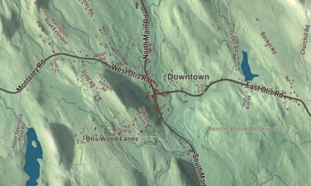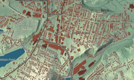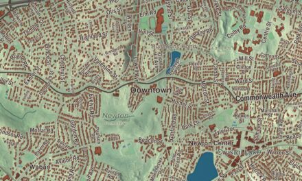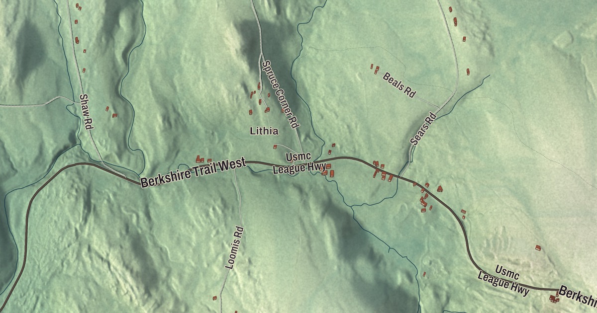
Goshen is a small hill town of lakes and woods, and the old Berkshire Trail runs right through it. This map prints the Berkshire Trail, Main Street, Main Road, Cape Street, West Street and Old Goshen Road, with Upper Highland Lake, Lower Highland Lake, Damon Pond, Hammond Pond, the D.A.R. State Forest, Merritts Hill and Fisk Meadow. Click here to purchase a print of this map for your wall.
Goshen is in Hampshire County.
KNOWOL made this map in 2026 from public survey data and gave it the look of an old atlas. The relief comes from United States Geological Survey elevation data, and the roads and the town line come from the Census Bureau. Goshen covers 17.7 square miles, almost all of it land, and it had 960 people at the 2020 census. The town page describes a rural place with one general store, a post office, a fire station, a library and a town hall, and the regional elementary school is in nearby Chesterfield.
Out of Chesterfield
The Town of Goshen’s recorded history, in the Secretary of the Commonwealth’s list, dates European settlement to 1761, the same year the town page gives for its first settlers. Goshen belonged to Chesterfield until May 14, 1781, and it was incorporated as a town in 1781. The town remains part of Hampshire County today.
Goshen gave its name to a gem. Colorless beryl was first found here, and the gem trade calls it goshenite. Its page says it’s sometimes called the “mother of all gemstones,” since traces of other elements turn beryl into emerald, aquamarine and morganite, and that goshenite is the purest form of the mineral. It’s also known as white beryl. The town page makes one more claim, about where Goshen sits: it’s 28.5 miles from New York, 28 miles from Connecticut, 26 miles from New Hampshire and 20 miles from Vermont, and the page says Goshen and Baker, Missouri, are the only two towns or villages in the United States within 29 miles of four different states.
The lakes and the state forest
Goshen takes in both the Upper and Lower Highland lakes. The Upper lake is part of the D.A.R. State Forest, while Lower Highland Lake is privately held by a homeowners’ association for families with year-round and summer places on the shore. The forest began in 1929, when the Daughters of the American Revolution gave the state 1,020 acres. In the 1930s the Civilian Conservation Corps rebuilt dams, laid out camping and picnic areas and built roads and bridges. Today the forest covers 1,728 acres, most of it in Goshen with a little in Ashfield, and it has 15 miles of trails for hiking, mountain biking and riding, 51 campsites, and the Goshen fire tower, with views of the Connecticut River Valley and the states around it. In winter people come for cross-country skiing, snowshoeing and ice fishing. The town page also lists Camp Howe, the Institute for the Musical Arts, the Three Sisters Sanctuary arts and performance space and the Goshen Historical Commission Museum among its points of interest.
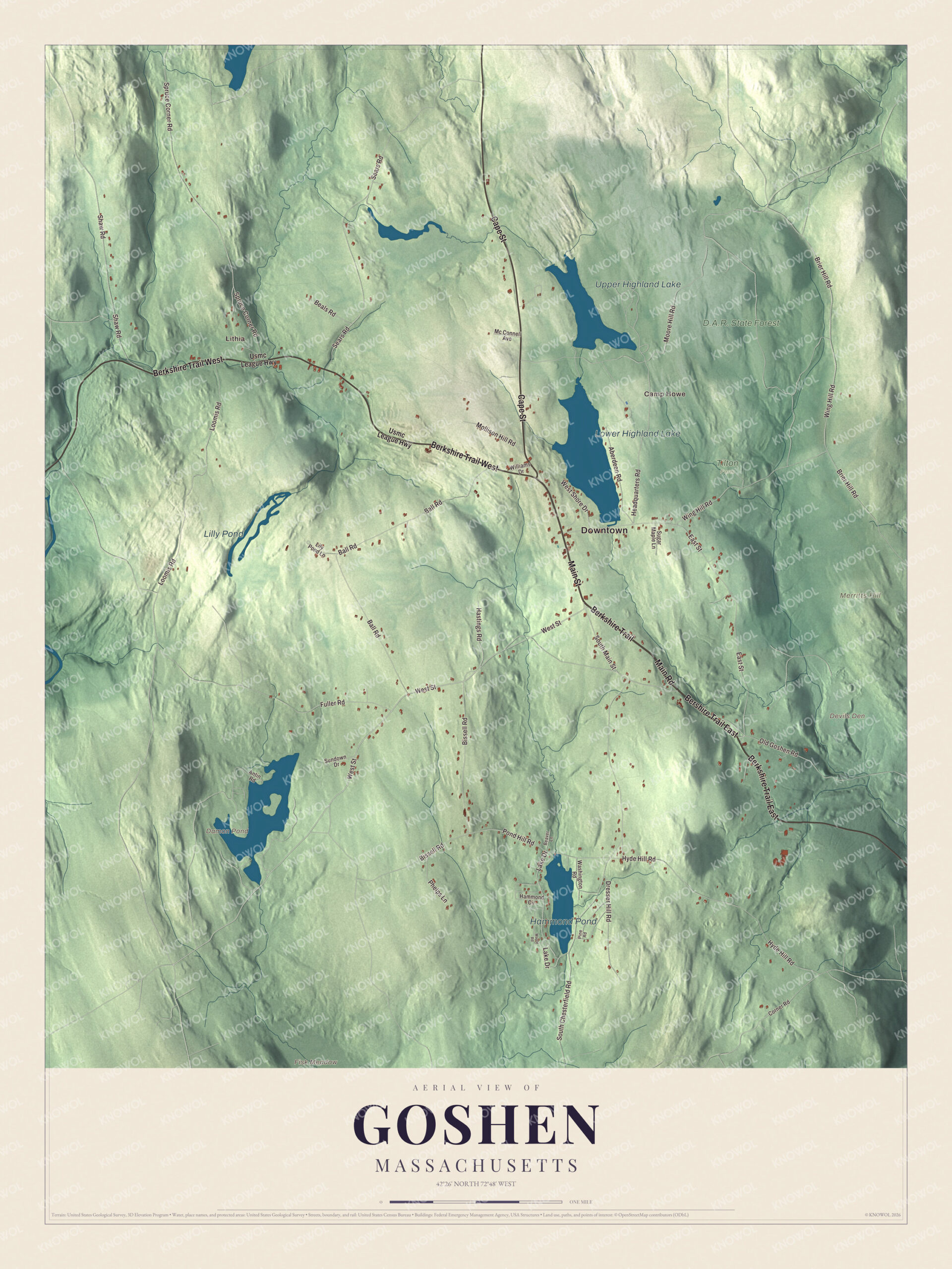
Click to explore a larger preview. The digital watermark does not appear on printed maps.
Names on this map
These names are printed on this map.
Places: Downtown, Lithia, Camp Howe, Devils Den, Fisk Meadow, Merritts Hill, Damon Pond, Lower Highland Lake, Upper Highland Lake, Hammond Pond, Lilly Pond, D.A.R. State Forest and Tilton Farm.
Streets and roads: Berkshire Trail, Main Street, Bershire Trail East, Berkshire Trail East, Cape Street, Main Road, Berkshire Trail West, West Street, Old Goshen Road, South Main Street, Headquarters Road, Wing Hill Road.
More street names, A to Z
Aberdeen Road, Antin Road, Ball Road, Beals Road, Beaver Lane, Bissell Road, Brier Hill Road, Corner Road, Dresser Hill Road, East Street, Fuller Road, Hammond Circle, Hastings Road, Hyde Hill Road, Lake Drive, Lily Pond Lane, Loomis Road, Maple Road, Mc Connell Avenue, Mollison Hill Road, Moore Hill Road, Phelps Lane, Pine Road, Pond Hill Road, Sears Road, Shaw Road, South Chesterfield Road, Spruce Corner Road, Sugar Maple Lane, Sundown Drive, Usmc League Highway, Washington Road, West Shore Drive, Williams Drive.
See it on a wall
The Goshen map as a framed print. Swipe for more.


Around the map
Start with Lithia, then follow the Berkshire Trail, Main Street, Cape Street, Main Road, West Street and Old Goshen Road across town. Damon Pond, Lower Highland Lake, Upper Highland Lake, Hammond Pond, the D.A.R. State Forest, Merritts Hill and Fisk Meadow are all printed on the map. From Dalton to Goshen, Route 9 follows the old Berkshire Trail, and Route 112 runs with it into town before turning north toward Ashfield near Lower Highland Lake.
The Goshen map makes a fine addition to an office, library or den, and it can help teach children the geography and history of the town that named a gem. It’s made for people who call Goshen home, from Lithia to the Highland lakes, and it shows the town as it looks today. Zoom in on the preview above to explore the details, then click here to get your copy of the Goshen, Massachusetts map.

Sources