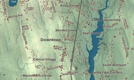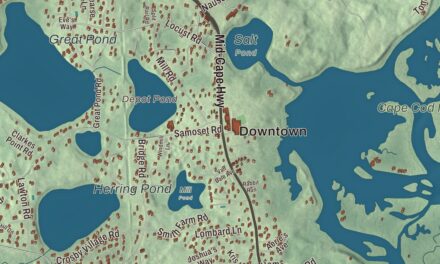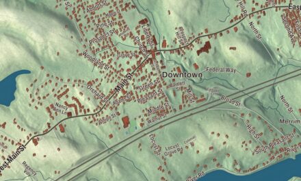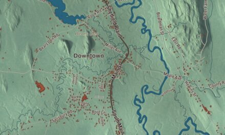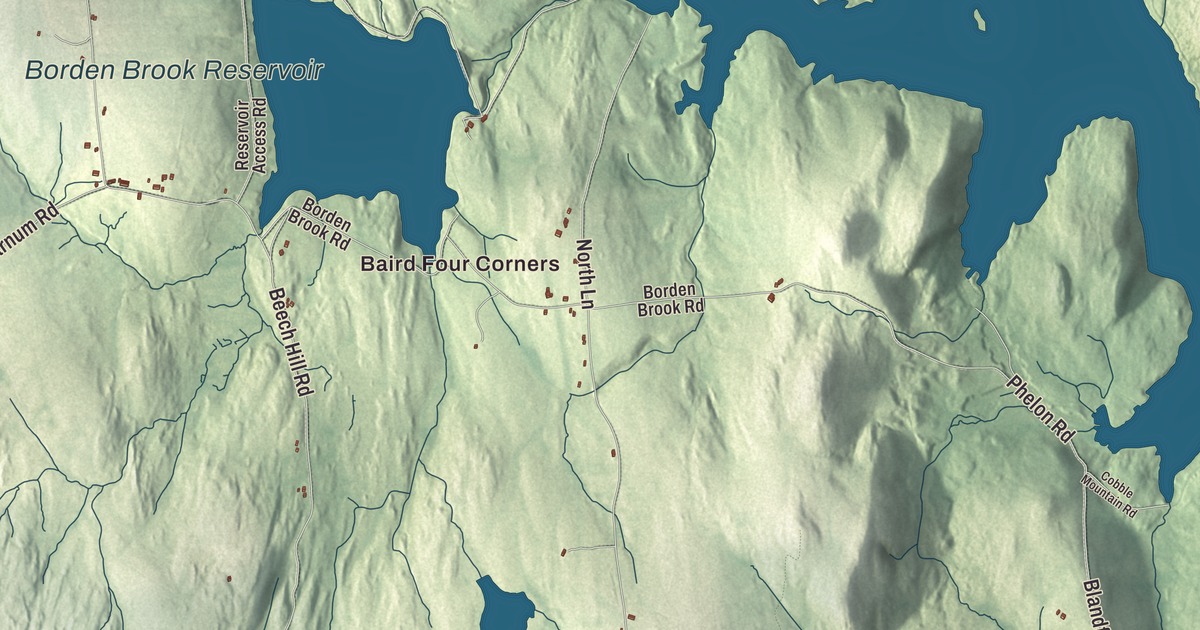
Main Road ties Granville together, running Route 57 from West Granville through Granville Center to the drum-making village in the east, past many of the town’s historic homes. This map prints Main Road, Granby Road, Wildcat Road, West Hartland Road, Beech Hill Road and North Lane, with Cooley Lake, Black Pond, the Borden Brook Reservoir, the Granville Reservoir, Phelon Memorial Forest and Bad Luck Mountain. Click here to purchase a print of this map for your wall.
Granville is in Hampden County.
KNOWOL made this map in 2026 from public survey data and gave it the look of an old atlas. The relief comes from United States Geological Survey elevation data, and the roads and the town line come from the Census Bureau. Granville covers 43.0 square miles in the southwest corner of Hampden County, 18 miles west of Springfield, on the Connecticut line. Route 189 leads south from the town center toward Hartford. Granville had 1,538 people at the 2020 census.
Settling the hill town
The Town of Granville’s recorded history, in the Secretary of the Commonwealth’s list, dates European settlement to 1736, and Granville was incorporated as a town in 1775. The town page agrees on 1736 but gives 1754 for the incorporation, after the Indian wars ended in 1750, while the National Register pages for its villages give settlement dates of 1734 and 1738. Early settlers could get a 100-acre lot free if they built a house and “put four acres in English hay.” The town was named for John Carteret, 2nd Earl Granville, and it remains part of Hampden County today.
Granville grew quickly, peaking at 2,100 people in 1810, when the town page says it rivaled Springfield. Many settlers later moved west, and some founded Granville, Ohio, whose first big group of settlers came from Granville, Massachusetts. Oliver Phelps lived here in that era. With Nathaniel Gorham he led the syndicate that in 1788 bought Massachusetts’s rights to about six million acres of western New York, the Phelps and Gorham Purchase.
Lemuel Haynes, born in West Hartford, Connecticut, spent much of his childhood as an indentured servant on a Granville farm, and he began preaching as a boy. In 1774, in one of his first acts as a free man, he joined Granville’s minutemen, and he later served at Fort Ticonderoga. Ordained in 1785, he was the first black man in the United States to be ordained as a minister, and he preached against the slave trade.
Three villages on Route 57
All three of Granville’s villages are historic districts on the National Register, each listed in 1991. Granville Center, where the first meetinghouse is said to have gone up around 1747 near Main Road and Blandford Road, keeps its 1802 Congregational church and Federal houses, with the town hall of 1927 at its west end. West Granville grew up in an upland valley around the Second Congregational Church of 1778, and its district runs along Main Road out to the crossroads with Beech Hill Road, with an 1830 academy building. Granville Village, in the east, centers on Main Road and Granby Road, with a library from 1902.
Granville Village grew around one industry, drums. Silas Noble, a farmer, made toy drums in his kitchen as Christmas presents, and with his friend James Cooley he founded Noble & Cooley in 1854, building snare drums for the Union Army in the Civil War. By 1873 they made 100,000 drums a year. The company still works in its 19th-century factory buildings on Water Street, is still run by a Cooley descendant, and its page calls it the oldest drum company in the United States. The village center also has an old-fashioned country store known for its cellar-aged cheese.
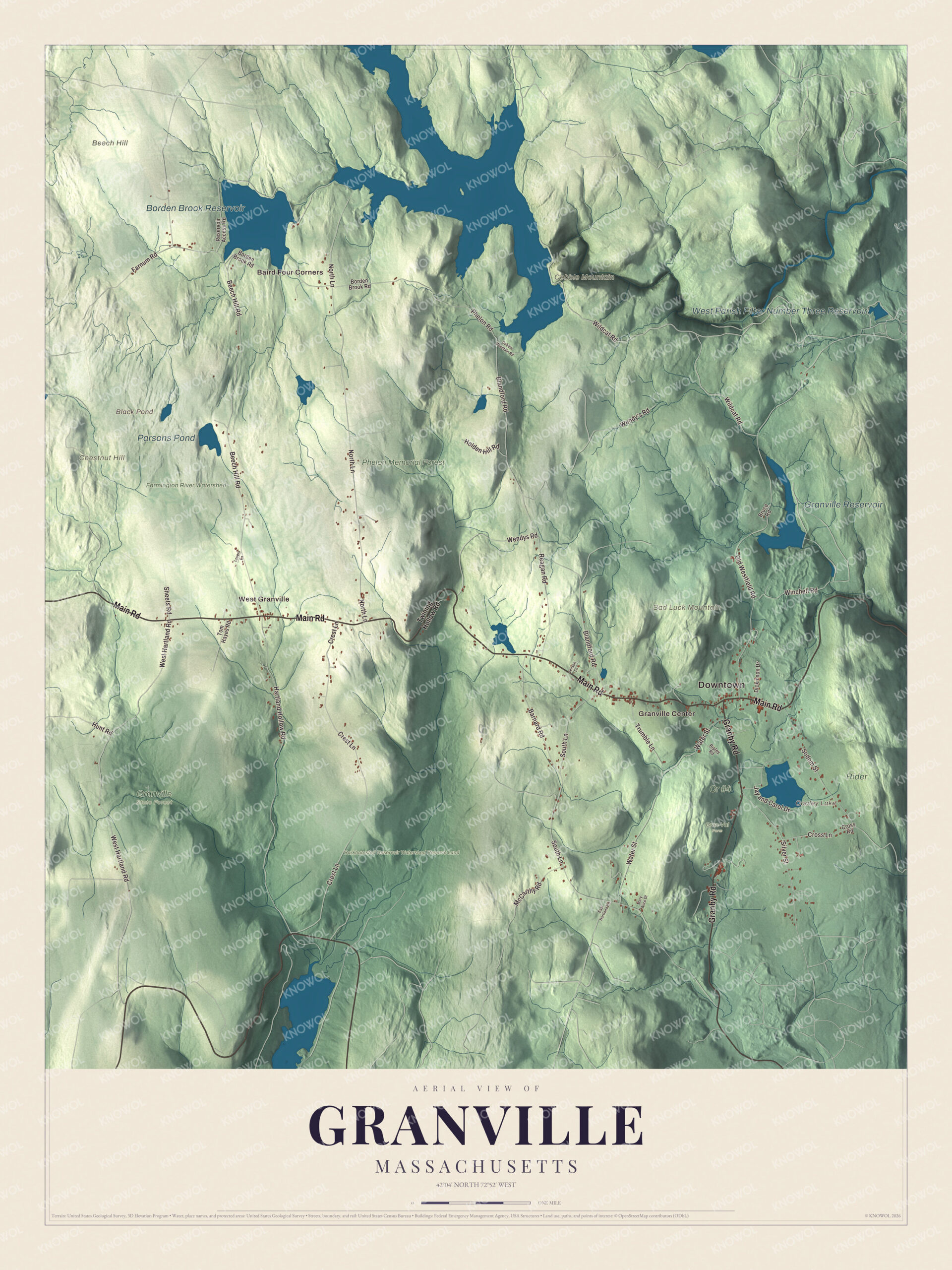
Click to explore a larger preview. The digital watermark does not appear on printed maps.
Names on this map
These names are printed on this map.
Places: Downtown, Baird Four Corners, West Granville, Granville Center, Bad Luck Mountain, Beech Hill, Chestnut Hill, Cobble Mountain, Black Pond, Cooley Lake, Borden Brook Reservoir, Granville Reservoir, Parsons Pond, West Parish Filter Number Three Reservoir, Barkhamsted Reservoir Watershed Reserve Land, Cr #4, Farmington River Watershed, Gran-Val Farm, Granville State Forest, Phelon Memorial Forest and Rider.
Streets and roads: Main Road, Granby Road, Wildcat Road, West Hartland Road, Beech Hill Road, North Lane, Blandford Road, Old Westfield Road, Crest Lane, South Lane, Water Street, Winchell Road.
More street names, A to Z
Barnard Road, Borden Brook Road, Bruce Road, Cobble Mountain Road, Cross Lane, Cross Road, Dickinson Drive, East Hartland Road, Farnum Road, Hartland Hollow Road, Holden Hill Road, Hunt Road, Jay and Carol Drive, Jensen Lane, Lovers Lane, Mary Alice Drive, McCarthy Road, Phelon Road, Reagan Road, Reservoir Access Road, Ripley Road, Sheets Road, Silver Street, Sodom Street, Tom Hayes Road, Trumble Lane, Twining Hollow Road, Wendy's Road, Wendys Road.
Water for three cities
Granville is the watershed for three reservoirs: the Barkhamsted, main source for the Hartford area; Cobble Mountain, main source for Springfield; and the Westfield reservoir, main source for Westfield. Much of the town’s land belongs to the water districts. The Wild Cat Aqueduct, a tunnel in Granville, carries water east from Cobble Mountain Reservoir to a power station Springfield built in 1930. In the south, Granville State Forest spreads into Tolland along the Connecticut line, and the Hubbard River there drops 450 feet in 2.5 miles over pools and waterfalls. The town also has a number of working apple orchards.
Around the map
Start with Baird Four Corners, then follow Main Road, Granby Road, Wildcat Road, West Hartland Road, Beech Hill Road and North Lane across town. Look outward toward West Granville and Granville Center. Black Pond, Cooley Lake, the Borden Brook Reservoir, the Granville Reservoir, the Barkhamsted Reservoir Watershed Reserve Land, Phelon Memorial Forest, Bad Luck Mountain, Beech Hill and Chestnut Hill are all printed on the map. Every one of those names is right there on the artwork.
The Granville map makes a fine addition to an office, library or den, and it can help teach children the geography and history of a hill town that still makes drums. It’s made for people who call Granville home, from West Granville to Granville Village, and it shows the town as it looks today. Zoom in on the preview above to explore the details, then click here to get your copy of the Granville, Massachusetts map.

We made a map for every town and city in Massachusetts. Explore the complete Massachusetts map collection and find your town.
Sources
- Granville, Massachusetts, Wikipedia
- Granville Center Historic District, Wikipedia
- Granville Village Historic District, Wikipedia
- West Granville Historic District, Wikipedia
- Granville, Ohio, Wikipedia
- Phelps and Gorham Purchase, Wikipedia
- Lemuel Haynes, Wikipedia
- Noble & Cooley, Wikipedia
- Wild Cat Aqueduct, Wikipedia
- Granville State Forest, Wikipedia
- City and Town Incorporation and Settlement Dates, Secretary of the Commonwealth of Massachusetts (archived copy)