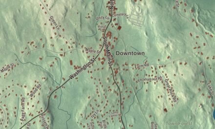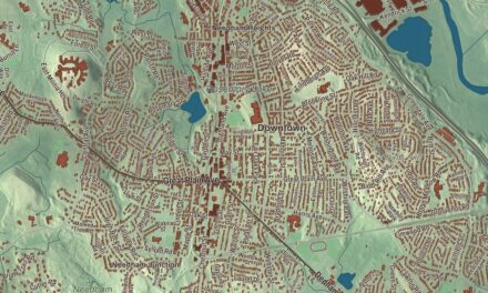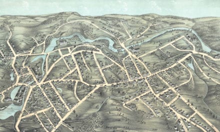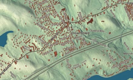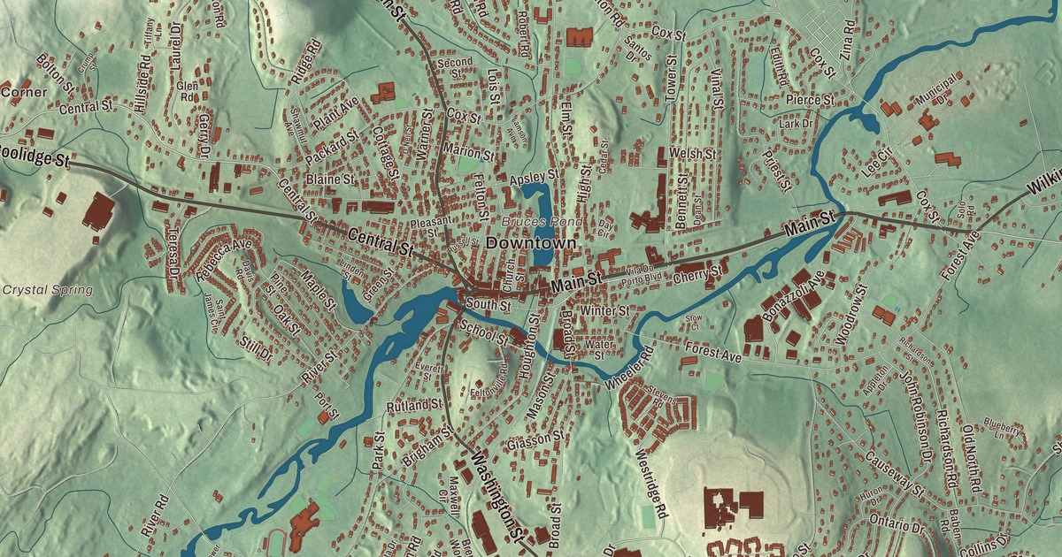
The Assabet River runs through most of Hudson, and the town began as a cluster of mills on its banks. This map prints Main Street, Central Street, Coolidge Street, Lincoln Street, Washington Street and Wilkins Street, with Lake Boon, Fort Meadow Reservoir, Bruces Pond, Gospel Hill and Hager Hill. Click here to purchase a print of this map for your wall.
Hudson is in Middlesex County.
KNOWOL made this map in 2026 from public survey data and gave it the look of an old atlas. The relief comes from United States Geological Survey elevation data, and the streets and the town line come from the Census Bureau. Hudson covers 11.8 square miles, bordered by Bolton and Stow to the north, the city of Marlborough to the south, Sudbury to the east and Berlin to the west. The Assabet River flows northeast through most of the town on its way to Concord, and the dam in central Hudson is one of nine historic mill or flood control dams on the river. Hudson had 20,092 people at the 2020 census.
Howe’s Mills, New City and Feltonville
The Nipmuc people lived along the Assabet for thousands of years. The Town of Hudson’s recorded history, in the Secretary of the Commonwealth’s list, dates European settlement to 1699; the town page says John Barnes was granted an acre on both banks of the river in 1698 or 1699 and built a gristmill on the north bank. Joseph Howe bought it and added a sawmill and a bridge, and through the 1700s the place was called Howe’s Mills, Barnard’s Mills or simply The Mills. It was part of Marlborough, and in 1743 residents asked to become their own town, calling the trip to Marlborough’s town meeting “vastly fatiguing.” They were turned down. From 1800 the settlement was called New City, and after Silas Felton arrived in 1799 and opened a store with Joel Cranston, it took the name Feltonville, which it kept from 1828 until 1866.
In 1865 Feltonville petitioned again, citing the long trip to town meeting and a Marlborough high school too far away for most of its children. The General Court approved it on March 16, 1866, and Hudson was incorporated as a town that year. A committee proposed naming it for Congressman Charles Hudson, who was born in Marlborough and raised in the Feltonville neighborhood, and he offered $500 toward a free public library. That library opened in 1867 with 721 books; its present home is a Carnegie library that opened on November 16, 1905. The town remains part of Middlesex County today.
Shoes, rubber and newcomers
Daniel Stratton, a shoemaker, opened a shop in Feltonville in 1816 and grew it into a small factory on Washington Street in 1821. Railroads came in the 1850s, and by 1860 Feltonville had 17 shoe and shoe-related factories, many of them powered by the Assabet. Two houses, the Goodale Homestead on Chestnut Street, the town’s oldest surviving building from 1702, and the Curley home on Brigham Street, have been cited as stops on the Underground Railroad. By 1900 the town had built a power plant on Cherry Street, and Hudson still makes its own power through the Hudson Light and Power Department, a nonprofit utility the town owns.
The mills drew workers from Ireland and French Canada, then from England, Germany, Portugal, Lithuania, Poland, Greece, Albania and Italy; by 1928 the workers of the Firestone-Apsley Rubber Company spoke nineteen languages. The Portuguese community traces itself to José Maria Tavares, who arrived in 1886, and most of its families came from the Azorean island of Santa Maria. The Hudson Portuguese Club, founded in 1919, has outlived the town’s other ethnic clubs, and Portuguese Catholics hold yearly festas for the Holy Ghost and Our Lady of Fátima, the oldest dating to 1914. The town’s list of notable people includes William D. Coolidge, the physicist who developed the tungsten filament for the light bulb, and Paul Cellucci, governor of Massachusetts from 1997 to 2001.
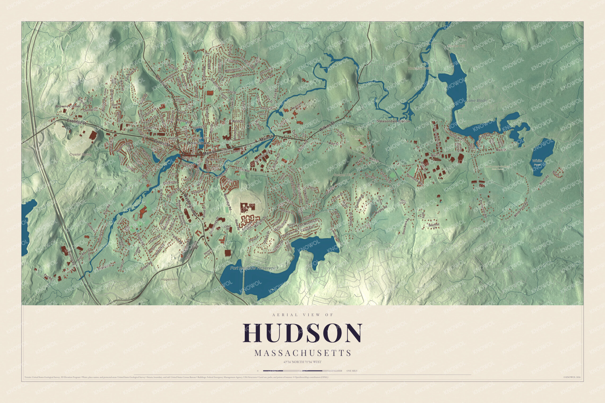
Click to explore a larger preview. The digital watermark does not appear on printed maps.
Names on this map
These names are printed on this map.
Places: Downtown, Browns Corner, Gleasondale Station, Boons Hill, Gospel Hill, Hager Hill, Honeypot Hill, Bruces Pond, Crystal Spring, Fort Meadow Reservoir, Lake Boon, Ferjulian's Farm, Marlborough-Sudbury State Forest and White Pond.
Streets and roads: Main Street, Central Street, Coolidge Street, Lincoln Street, Washington Street, Wilkins Street, Technology Drive, Westridge Road, Old Bolton Road, Chapin Road, Tower Street, Cox Street.
More street names, A to Z
4 Bridges Road, Abigail Drive, Alan Road, Alberta Drive, Appleton Drive, Apsley Street, Atherton Road, Avon Drive, Baben Road, Beechnut Lane, Bennett Street, Bigelow Road, Blaine Street, Blueberry Lane, Bolton Street, Bonazzoli Avenue, Bradford Road, Brent Drive, Brenton Wood Road, Brigham Street, Broad Street, Brook Street, Bruen, Bruen Road, Bush Road, Cabot Road, Causeway Street, Cayuga Drive, Cedar Street, Champlain Drive, Cherry Street, Chestnut Street, Church Street, Collins Drive, Cornish Drive, Cortland Drive, Cottage Street, Crestview Drive, Crump Street, Curley Drive, Davis Road, Day Circle, Dean Street, Deer Path, Dudley Road, Eaton Drive, Edith Road, Elizabeth Road, Elm Street, Erie Drive, Essex Drive, Everett Street, Exeter Road, Falls Brook Road, Felton Street, Feltonville Road, Forbes Road, Forest Avenue, Fort Meadow Drive, Fox Road, Gately Avenue, Gerry Drive, Giasson Street, Glen Road, Green Street, Harriman Road, Hickory Lane, High Street, Hillside Road, Hosmer Street, Houghton Street, Hudson Road, Hummock Way, Hunter Avenue, Huron Drive, John Robinson Drive, Johnson Avenue, Juniper Road, Kane Industrial Drive, Karen Circle, Kattail Road, Kelly Lane, Kent Drive, Lake Boon Drive, Lakeshore Drive, Lakeside Avenue, Lamson Avenue, Lark Drive, Laurel Drive, Lee Circle, Lewis Street, Lilac Lane, Linden Street, Lois Street, Lower Road, Manning Street, Maple Street, Marion Street, Marlboro Street, Mason Street, Maxwell Circle, Michigan Drive, Municipal Drive, Murphy Road, Nixon Road, O'Neil Street, Oak Street, Old North Road, Old Stow Road, Oneida Place, Ontario Drive, Orchard Drive, Ordway Road, Otsego Drive, Packard Street, Park Street, Parmenter Road, Patriot Lane, Philip Street, Pierce Street, Pine Street, Plant Avenue, Pleasant Street, Port Street, Priest Street, Rebecca Avenue, Reed Road, Richard Road, Richardson Road, Richardson Street, Ridge Road, River Road, River Street, Robert Road, Rock Avenue, Rolling Lane, Rotherham Way, Russell Street, Ruthellen Road, Rutland Street, Saint James Circle, Sandy Knoll Drive, Santos Drive, Saratoga Drive, School Street, Second Street, Seneca Drive, Shawmut Avenue, Shay Road, Solo Road, South Street, Stevens Road, Still Drive, Stony Brook Road, Stow Court, Stratton Drive, Stratton Road, Temi Road, Temple Avenue, Teresa Drive, Tiffany Lane, Vernon Drive, Vila Do Porto Boulevard, Vinal Street, Walcott Street, Warner Street, Water Street, Wellington Drive, Welsh Street, Wheeler Road, White Pond Road, Wildflower Path, Winter Street, Woodland Drive, Woodrow Street, York Drive, Zina Road.
Around the map
Start with Browns Corner, then follow Main Street, Central Street, Coolidge Street, Lincoln Street, Washington Street and Wilkins Street across town. Look outward toward Gleasondale Station. Gleasondale is a village shared with Stow, named for Benjamin W. Gleason and Samuel J. Dale, who bought its mill in 1849 and built the five-story brick mill there in 1854. Bruces Pond, Fort Meadow Reservoir, Lake Boon, Boons Hill, Gospel Hill, Hager Hill and Crystal Spring are all printed on the map, and every one of those names is right there on the artwork. Lake Boon, on the Stow line, grew out of Boon’s Pond, named for Matthew Boon, who came to the area in 1660, and it was a vacation spot before the automobile. Fort Meadow Reservoir, on the Marlborough line, once supplied drinking water to both towns, and Hudson keeps Centennial Beach on its shore. Gospel Hill is where the town’s Methodists built a brick meetinghouse in 1828. The Assabet River Rail Trail follows an old Fitchburg Railroad branch from Marlborough to a parking lot on Wilkins Street in northeast Hudson.
The Hudson map makes a fine addition to an office, library or den, and it can help teach children the geography and history of a mill village that named itself after a congressman. It’s made for people who call Hudson home, from Browns Corner to Gleasondale, and it shows the town as it looks today. Zoom in on the preview above to explore the details, then click here to get your copy of the Hudson, Massachusetts map.

We made a map for every town and city in Massachusetts. Explore the complete Massachusetts map collection and find your town.
Sources
- Hudson, Massachusetts, Wikipedia
- Charles Hudson (American politician), Wikipedia
- Assabet River, Wikipedia
- Gleasondale, Massachusetts, Wikipedia
- Lake Boon, Wikipedia
- Fort Meadow Reservoir, Wikipedia
- Assabet River Rail Trail, Wikipedia
- City and Town Incorporation and Settlement Dates, Secretary of the Commonwealth of Massachusetts (archived copy)