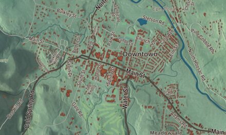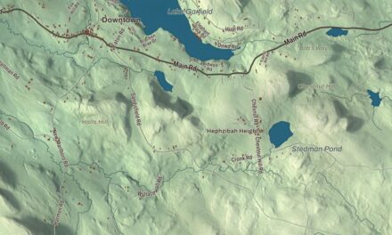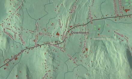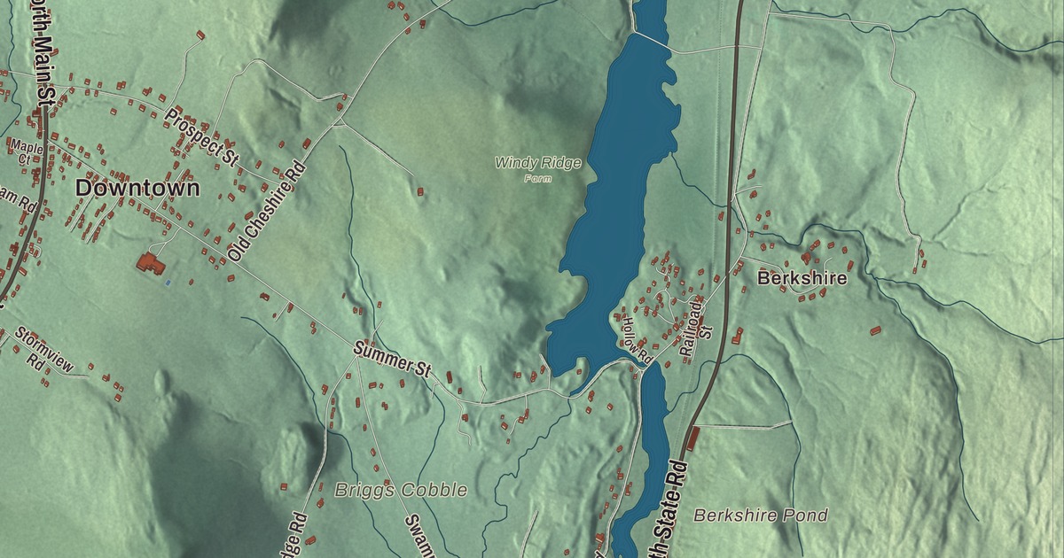
Lanesborough sits in two valleys north of Pittsfield, with Pontoosuc Lake at one end and the slopes of Mount Greylock at the other. This map prints North Main Street, South Main Street, Main Street, Williamstown Road, South State Road and Bull Hill Road, with Pontoosuc Lake, the Cheshire Reservoir, Berkshire Pond and Beoadic Mountain. Click here to purchase a print of this map for your wall.
Lanesborough is in Berkshire County.
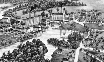
KNOWOL made this map in 2026 from public survey data and gave it the look of an old atlas. The relief comes from United States Geological Survey elevation data, and the roads and the town line come from the Census Bureau. Lanesborough covers 29.6 square miles, bordered by New Ashford, Cheshire, Dalton, Pittsfield and Hancock, and its center is 5 miles north of Pittsfield and 140 miles west of Boston. U.S. Route 7, once part of New England Interstate Route 4, is the main road through town, and Route 8 passes through the village of Berkshire to the east. The town had 3,038 people at the 2020 census.
New Framingham becomes Lanesborough
Lanesborough is one of the first Berkshire communities to be settled. It began as “New Framingham,” carved from part of Northern Berkshire Township Number 6. The Town of Lanesborough’s recorded history, in the Secretary of the Commonwealth’s list, dates European settlement to 1753. Lanesborough was incorporated as a town in 1765, on January 21, and named for the Countess of Lanesborough, a friend of Governor Francis Bernard, who incorporated the town. The town remains part of Berkshire County today.
Small industries grew up along Town Brook in the early 1800s. At the turn of the 20th century the Berkshire Pleasure Park, one of the trolley parks along what is now Route 8, was a major attraction on the east side of town. The Old Stone School, a one-room schoolhouse built of stone in 1832 with money from Ephraim Bradley, taught children until 1950. Today Lanesborough has many small businesses, and many of its people work in nearby towns.
Josh Billings and other Lanesborough names
Henry Wheeler Shaw was born in Lanesborough on April 21, 1818. Writing as Josh Billings, he became a popular 19th-century humorist, full of the slang of the day, odd phonetic spelling and folksy common sense, and the town page says he rivaled Mark Twain for popularity in his time. His books included Farmers’ Allminax and Josh Billings’ Sayings, and his lectures were very popular. Henry Shaw Briggs, a brigadier general in the Civil War, was also born here, and the actress Bette Davis attended the Crestalban School on Summer Street for three years. Summer Street also has the very large Massachusetts Champion Elm, which can be seen from Route 7.
Mountains frame the town. To the north, Mount Greylock begins in Lanesborough, and its auto road and year-round visitors’ center start here; Greylock, at 3,489 feet, is the highest point in Massachusetts. Pittsfield State Forest has a large section in town, with Balance Rock, a glacial erratic, as its main attraction. To the west, Jiminy Peak and Sheeps Heaven Mountain form much of the border, and recent aerial mapping put the summit of Jiminy Peak inside Lanesborough.
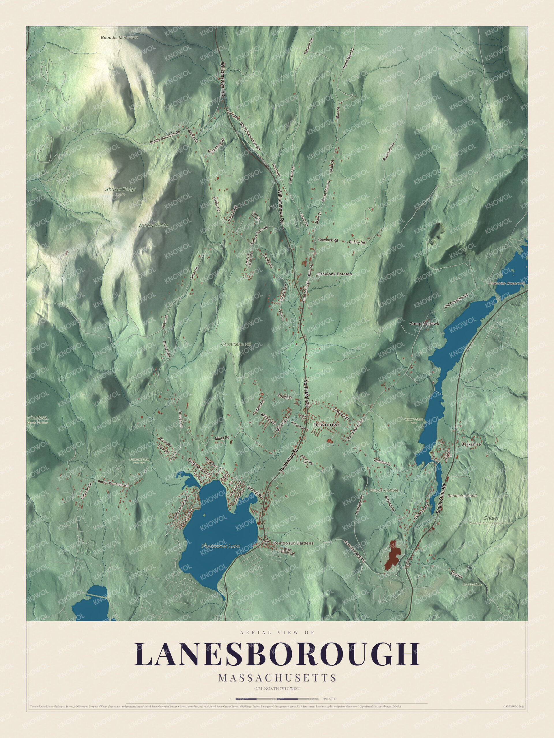
Click to explore a larger preview. The digital watermark does not appear on printed maps.
Names on this map
These names are printed on this map.
Places: Downtown, Berkshire, Pontoosuc Gardens, Beoadic Mountain, Briggs Cobble, Berkshire Pond, Cheshire Reservoir, Pontoosuc Lake, Balance Rock State Park, Chalet Wildlife Management Area, Constitution Hill, Pittsfield State Forest, Shaker Ridge Trails, The Boulders, Widow White, Windy Ridge Farm, Camp Mohawk and Greylock Estates.
Streets and roads: North Main Street, South Main Street, Williamstown Road, South State Road, Bull Hill Road, Main Street, Old Williamstown Road, Old State Road, Kessler Road, Bailey Road, Silver Street, Old Cheshire Road.
More street names, A to Z
Alice Avenue, Aqua Street, Baker Street Extension, Balance Rock Road, Berkshire Mall Road, Billings Road, Bridge Street, Brodie Mountain Road, Cheshire Road, Churchill Street, Goodell Road, Greylock Estates Road, Greylock Road, Grove Avenue, Gulf Road, Hobomack Avenue, Hollow Road, Imperial Street, Irwin Street, Kowchuk Drive, Lynne Court, Maple Court, Meadow Lane, Miner Road, Narragansett Avenue, Noppet Road, Olsen Road, Orebed Road, Park Drive, Partridge Road, Potter Mountain Road, Profile Street, Prospect Street, Putnam Road, Quarry Road, Railroad Street, Rockwell Road, Rosenberg Road, Saltbox Farm Road, Salt Box Farm Road, Scott Road, Spring Street, Stormview Road, Summer Street, Sunrise Street, Swamp Road, Victoria Lane.
Around the map
Start with Berkshire, then follow North Main Street, South Main Street, Williamstown Road, South State Road, Bull Hill Road and Main Street across town. Look outward toward Pontoosuc Gardens. Berkshire Pond, the Cheshire Reservoir, Pontoosuc Lake and Beoadic Mountain are all printed on the map, and every one of those names is right there on the artwork. Town Brook runs south through the central valley into Pontoosuc Lake. The Cheshire Reservoir, in the smaller eastern valley, is the headwaters of the Hoosic River, which runs north, and the Ashuwillticook Rail Trail, a paved path on an old rail line, begins in Lanesborough and follows the reservoir toward Cheshire and Adams.
The Lanesborough map makes a fine addition to an office, library or den, and it can help teach children the geography and history of a hill town that gave the country a popular 19th-century humorist. It’s made for people who call Lanesborough home, from Berkshire to Pontoosuc Gardens, and it shows the town as it looks today. Zoom in on the preview above to explore the details, then click here to get your copy of the Lanesborough, Massachusetts map.

We made a map for every town and city in Massachusetts. Explore the complete Massachusetts map collection and find your town.
Sources