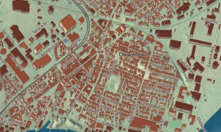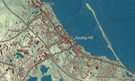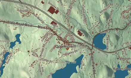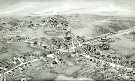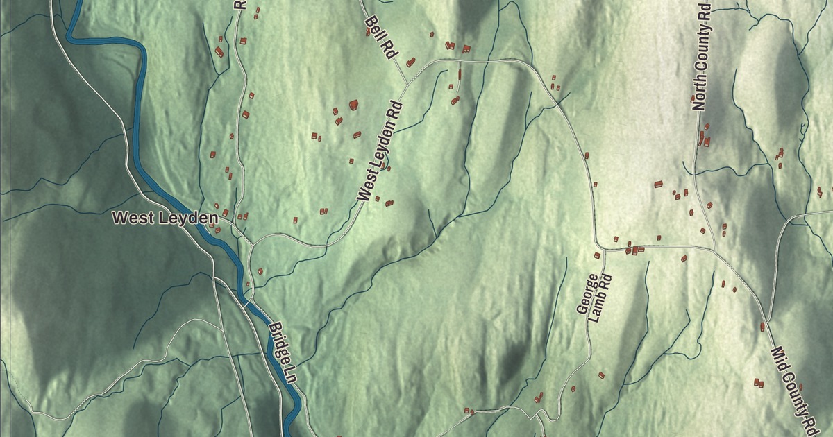
Leyden sits on the Vermont line north of Greenfield, a wooded hill town with no state highway at all. This map prints Brattleboro Road, Greenfield Road, South County Road, West Leyden Road, Eden Road and Frizzell Hill Road, with the Green River, Greenfield Reservoir, Ball Mountain and Daniels Peak. Click here to purchase a print of this map for your wall.
Leyden is in Franklin County.
KNOWOL made this map in 2026 from public survey data and gave it the look of a vintage atlas. The hills and valleys come from United States Geological Survey elevation data, and the Census Bureau supplied the roads and the town line. Leyden covers 18.0 square miles, bordered by Guilford, Vermont, on the north, Bernardston on the east, Greenfield on the south and Colrain on the west, and it had 734 people at the 2020 census. It lies along the eastern edge of the Berkshires, mostly in the valleys of the Green River, which forms its western border, and the branches of Glen Brook. The main and east branches of Glen Brook are dammed where they meet to form the Greenfield Reservoir, which supplies the town of Greenfield. Most of the land away from the brooks is forest, with a small state forest and a wildlife management area inside the town.
Fall Town
Wabanaki people lived here just before English settlement. English colonists first settled Leyden in 1737 as part of Fall Town, a grant that also took in Bernardston and Colrain. The Town of Leyden’s recorded history, in the Secretary of the Commonwealth’s list, dates European settlement to 1738. The town was set off from Bernardston in 1784, but Leyden wasn’t incorporated as a town until February 22, 1809. It was named for Leiden in the Netherlands, where the Pilgrims took refuge before sailing for America. The town remains part of Franklin County today.
In the 1700s Leyden had grist mills, wood product mills and dairy farms, and today maple sugar is its largest industry. In the 1790s a utopian sect, the Dorrellites, gathered here under its founder, William Dorrell. Leyden keeps its own fire department and a library tied into the regional network, and it’s one of only a handful of Massachusetts towns with no state routes.
Born in Leyden
The sculptor Henry Kirke Brown was born in Leyden on February 24, 1814. He painted portraits as a boy, studied under Chester Harding in Boston, spent four years in Italy, and became one of the first in America to cast his own bronzes. His equestrian statue of George Washington, set up in Union Square in New York City in 1856, was the second equestrian statue made in the United States, and his figures of Nathanael Greene, George Clinton, Philip Kearny and Richard Stockton stand in the National Statuary Hall at the Capitol. John Leonard Riddell was born here too, on February 20, 1807, though his family moved to New York before his first birthday. As a professor of chemistry in New Orleans he developed the first practical microscope for binocular viewing through a single objective lens.
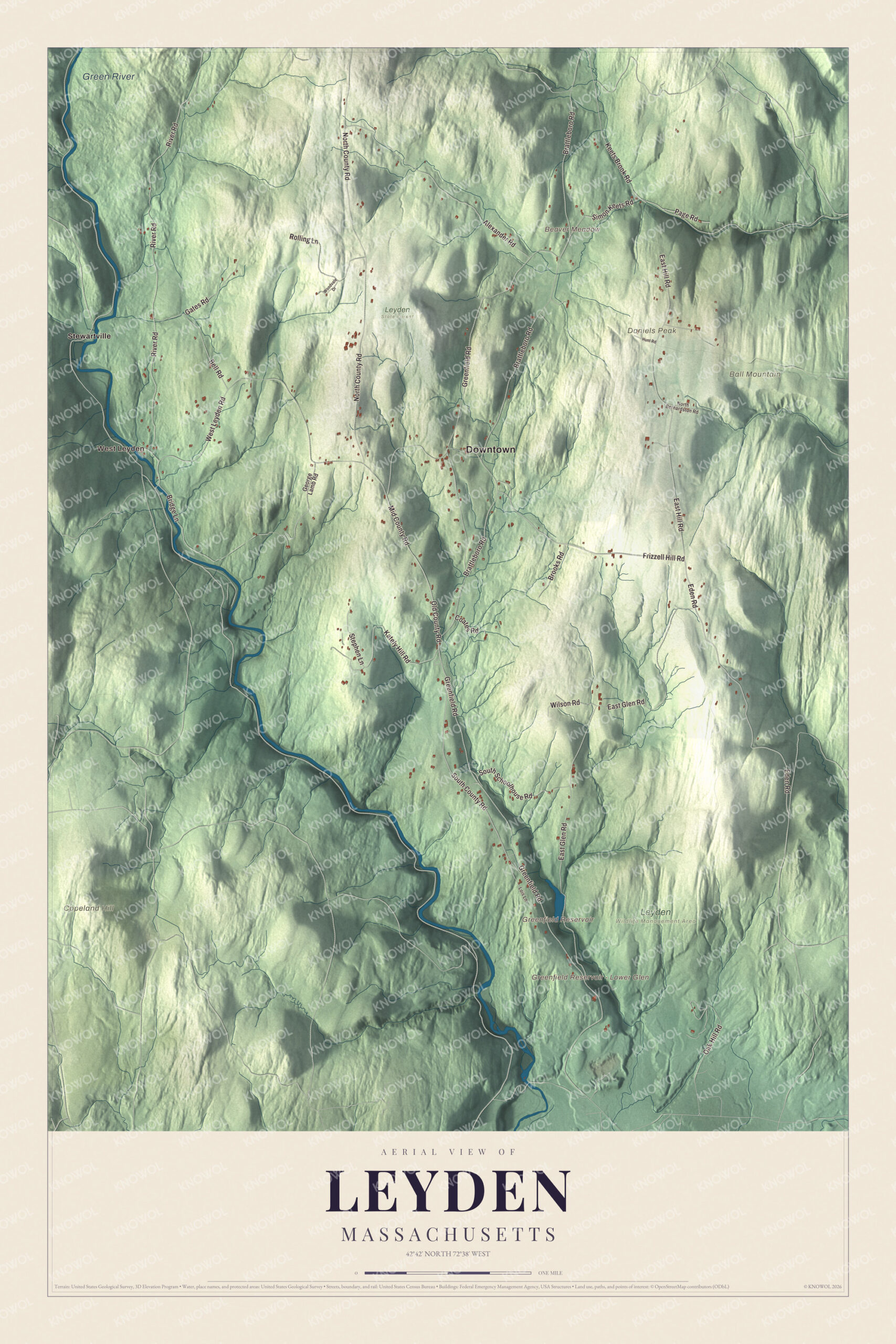
Click to explore a larger preview. The digital watermark does not appear on printed maps.
Names on this map
These names are printed on this map.
Places: Downtown, West Leyden, Ball Mountain, Beaver Meadow, Copeland Hill, Daniels Peak, Greenfield Reservoir, Greenfield Reservoir - Lower Glen, Green River, Leyden Wildlife Management Area, Leyden State Forest and Stewartville.
Streets and roads: Eden Road, South County Road, Frizzell Hill Road, Greenfield Road, Brattleboro Road, West Leyden Road, East Glen Road, River Road, North County Road, East Hill Road, Alexander Road, Keets Brook Road.
More street names, A to Z
Bell Road, Bridge Lane, Brooks Road, Coates Road, Gates Road, George Lamb Road, Hunt Road, Kately Hill Road, Lois Lane, Mid County Road, North Bernardston Road, Oak Hill Road, Old County Road, Page Road, Rolling Lane, Simon Keets Road, South Schoolhouse Road, Stephen Lane, Wilson Road, Woodvale Drive.
Around the map
Start with West Leyden. Follow Eden Road, South County Road, Frizzell Hill Road, Greenfield Road, Brattleboro Road and West Leyden Road across town. Then look outward toward Stewartville. Greenfield Reservoir, the Green River, Ball Mountain, Copeland Hill, Daniels Peak, Beaver Meadow and Frizzell Hill are printed on the map. Look too for Greenfield Reservoir – Lower Glen. Below the reservoir, Glen Brook runs south into Greenfield to meet the Green River.
The Leyden map makes a fine addition to an office, library or den, and it can help teach children the geography and history of a small hill town on the Vermont line. It’s made for people who call Leyden home, from West Leyden to Stewartville, and it shows the town as it looks today. Zoom in on the preview above to explore the details, then click here to get your copy of the Leyden, Massachusetts map.

We made a map for every town and city in Massachusetts. Explore the complete Massachusetts map collection and find your town.
Sources