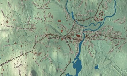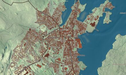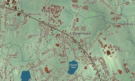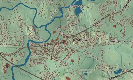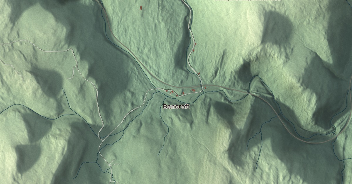
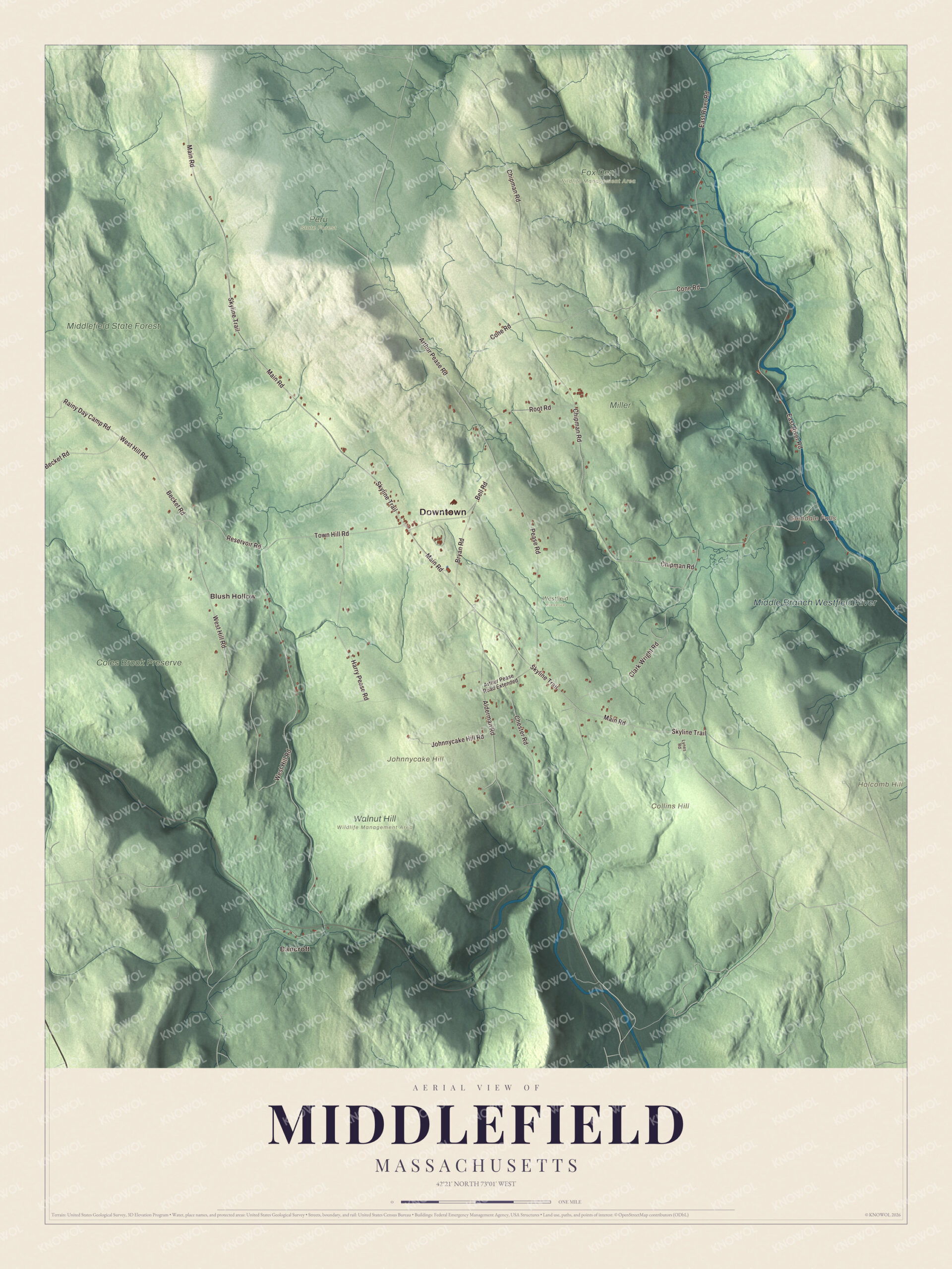
In Middlefield, Glendale Brook drops through one of the longest waterfall runs in Massachusetts on its way to the Westfield River. This map prints Skyline Trail, Chester Road, Main Road, East River Road and Arthur Pease Road, with the Middle Branch Westfield River, Middlefield State Forest, Johnnycake Hill and Glendale Falls. Click here to purchase a print of this map for your wall.
Middlefield is in Hampshire County.
KNOWOL made this map in 2026 from public survey data, laid out like a sheet from an old atlas. The ridges and hollows come from United States Geological Survey elevation data, and the Census Bureau supplied the roads and the town line. Middlefield covers 24.2 square miles, almost all of it land, and it had 385 people at the 2020 census. The Middle Branch of the Westfield River rises in Peru and flows southeast through Worthington, Middlefield and Chester on its way to Huntington.
A late hill town
The Town of Middlefield’s recorded history, in the Secretary of the Commonwealth’s list, dates European settlement to 1780. Middlefield was incorporated as a town in 1783. Israel Bissell, the post rider who carried the Lexington Alarm from Watertown toward New York and Philadelphia in April 1775, shouting “To arms, to arms, the war has begun,” came to Middlefield after the war and raised sheep here, and he married Lucy Hancock of Longmeadow before the family moved on to a farm in Hinsdale in 1790. The geologist Ebenezer Emmons was born in Middlefield on May 16, 1799. He entered Williams College at 16, helped Chester Dewey with a geological map of Berkshire County, and later, working for the Geological Survey of New York, named the Adirondack Mountains in 1838 and the Taconic Mountains in 1844. The town remains part of Hampshire County today.
The Highland Agricultural Society has put on the Middlefield Fair every August since 1855, a small country fair that runs three days, with tractor pulls, pie eating contests and farm competitions; the 2013 fair was the 158th. The Western Railroad also left its mark here. Its line from the Connecticut River to the Hudson climbed through Chester, Middlefield and Becket, and the stretch along the west branch of the Westfield River was the most expensive the company built, at more than $1 million in 1840. George Washington Whistler designed the original stone arch bridges, and the Middlefield-Becket Stone Arch Railroad Bridge District, with ten bridge crossings in 3.7 miles, joined the National Register in 1980.
Click to explore a larger preview. The digital watermark does not appear on printed maps.
Names on this map
These names are printed on this map.
Places: Downtown, Bancroft, Blush Hollow, Collins Hill, Holcomb Hill, Johnnycake Hill, Glendale Falls, Middle Branch Westfield River, Middlefield State Forest, Coles Brook Preserve, Fox Den Wildlife Management Area, Miller, Peru State Forest, Walnut Hill Wildlife Management Area and Westfield Preserve.
Streets and roads: Chester Road, Main Road, Skyline Trail, East River Road, Arthur Pease Road, Reservoir Road, Rainy Day Camp Road, Town Hill Road, Chipman Road, West Hill Road, Clark Wright Road, Cone Road.
More street names, A to Z
Alderman Road, Arthur Pease Road Extended, Becket Road, Bell Road, Bryan Road, Harry Pease Road, Johnnycake Hill Road, Lynes Road, Pease Road, Root Road.
Around the map
Start with Bancroft. Follow Chester Road, Main Road, Skyline Trail, East River Road, Arthur Pease Road and Reservoir Road across town. Then look outward toward Blush Hollow. The Middle Branch Westfield River, the East River, Coles Brook, Middlefield State Forest, Coles Brook Preserve, Collins Hill, Holcomb Hill, Johnnycake Hill and Glendale Falls are all printed on the map, every one lettered onto the artwork.
Glendale Falls is one of the longest waterfall runs in Massachusetts, fed by Glendale Brook, and the Trustees of Reservations has kept it as an open space preserve since 1964. Beside the falls on the north side sits the stone foundation of an 18th-century grist mill that belonged to Glendale Farm, started in the early 1770s by John Rhoads, a future Revolutionary War veteran. The farm’s early success led to the building of Clark Wright Road, still the only way to reach the falls by car, though by 1799 Rhoads had sold out and gone. The brook runs on into the Westfield River, which has been federally designated a Wild and Scenic River.
The Middlefield map suits an office, library or den, and it can help teach children the geography and history of a small town in the hills. It’s made for people who call Middlefield home, from Bancroft to Blush Hollow, and it shows the town as it looks today. Zoom in on the preview above to explore the details, then click here to get your copy of the Middlefield, Massachusetts map.

We made a map for every town and city in Massachusetts. Explore the complete Massachusetts map collection and find your town.
Sources
- Middlefield, Massachusetts, Wikipedia
- Westfield River, Wikipedia
- Israel Bissell, Wikipedia
- Ebenezer Emmons, Wikipedia
- Middlefield-Becket Stone Arch Railroad Bridge District, Wikipedia
- Glendale Falls (Massachusetts), Wikipedia
- City and Town Incorporation and Settlement Dates, Secretary of the Commonwealth of Massachusetts (archived copy)