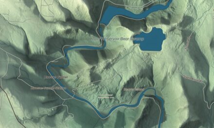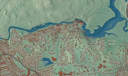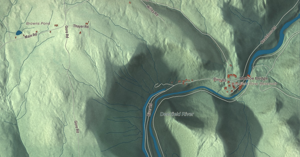
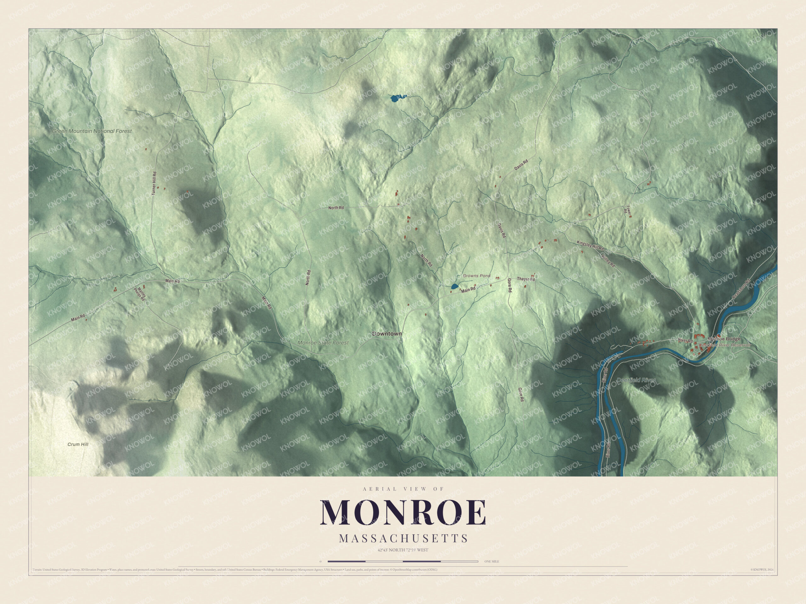
Monroe is a mountain town of 118 people on the Vermont line, with the Deerfield River along its eastern edge and Crum Hill, the high point of the Berkshires, inside its borders. This map prints Main Road, River Road, North Road, Davis Road, Kingsley Hill Road and Turner Hill Road, with the Deerfield River, Monroe State Forest, Browns Pond and Crum Hill. Click here to purchase a print of this map for your wall.
Monroe is in Franklin County.
KNOWOL made this map in 2026 from public survey data and gave it the plain grace of an old atlas sheet. United States Geological Survey elevation data lays out the ridges and the river gorge, and the Census Bureau supplied the roads and the town line. Monroe covers 10.8 square miles in the northwest corner of Franklin County, bordered by Stamford and Readsboro, Vermont, on the north, Rowe on the east, and Florida on the south and west. It sits on the Hoosac Range at the northern end of the Berkshires, and no highway or state route enters the town. At the 2020 census it had 118 people; the town page calls it the smallest town by population in mainland Massachusetts.
Named for a sitting president
The Town of Monroe’s recorded history, in the Secretary of the Commonwealth’s list, dates European settlement to 1800. Monroe was incorporated as a town in 1822 and named for President James Monroe, then in office. It stayed mostly rural, with dairy farming its main business, though the digging of the Hoosac Tunnel just south of town in Florida brought in some business in the middle of the century. The town remains part of Franklin County today.
In 1885, though, a rail line was built up the Deerfield valley to haul wood pulp to a paper factory, and the Hoosac Tunnel and Wilmington Railroad, which ran from Rowe to Wilmington, Vermont, kept a station at Monroe Bridge. Its nicknames included “the Hoot, Toot, and Whistle.” The new line drew the Ramage family, who opened the James Ramage Paper Company here in 1887; it was the town’s main industry well into the 20th century and closed in 1984. Monroe Bridge, on the river across from Rowe, is still the most built-up part of town, with a handful of two-story houses and the town hall around Depot Street.
Click to explore a larger preview. The digital watermark does not appear on printed maps.
Names on this map
These names are printed on this map.
Places: Downtown, Monroe Bridge, Crum Hill, Browns Pond, Deerfield River Reservoir, Deerfield River, Monroe State Forest and Green Mountain National Forest.
Streets and roads: Main Road, Davis Road, North Road, River Road, Kingsley Hill Road, Turner Hill Road, Gore Road, Readsboro Road, Willey Road, Thayer Road, Manley Phelps Road and Tower Road.
See it on a wall
The Monroe map as a framed print. Swipe for more.


Around the map
Start with Monroe Bridge. Follow Main Road, Davis Road, North Road, River Road, Kingsley Hill Road and Turner Hill Road across town. Browns Pond, the Deerfield River, Monroe State Forest, Green Mountain National Forest, Crum Hill and Deerfield River Reservoir are all printed on the map, the names lettered right onto the artwork.
The Deerfield River marks Monroe’s eastern line, dammed there as the southern end of the Sherman Reservoir, which once supplied power to the Yankee Rowe nuclear plant. Monroe State Forest covers much of the middle and south of town and reaches into Florida. It was set up in 1924 on old farmland, where cellar holes and stone walls from the 1800s still turn up, and in the 1930s the Civilian Conservation Corps built the Raycroft Lookout, a stone platform with views of the Deerfield River, the Hoosac Range and the Green Mountains. Dunbar Brook drops 700 feet in two miles through the forest, and whitewater paddlers rate it class V. Crum Hill, at 2,841 feet, is the highest point in Franklin County; its summit lies in Monroe and its west side in Florida, and the Hoosac Wind Power Project stands on top.
The Monroe map makes a fine addition to an office, library or den, and it can help teach children the geography and history of a small town in the northern Berkshires. It’s made for people who call Monroe home, from Monroe Bridge to the slopes of Crum Hill, and it shows the town as it looks today. Zoom in on the preview above to explore the details, then click here to get your copy of the Monroe, Massachusetts map.

Sources