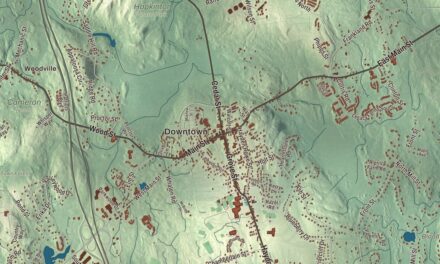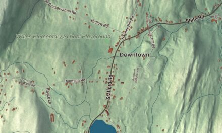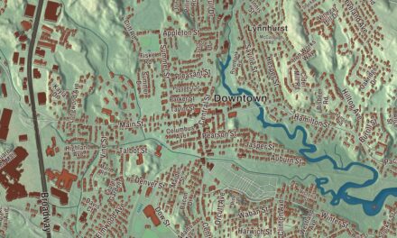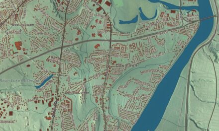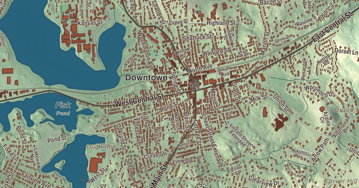
Natick Center sits where Central Street meets Main Street, and this map spreads out from there along North Main Street, South Main Street, East Central Street, West Central Street, Worcester Street and Eliot Street. Dug Pond, Lake Cochituate and Morses Pond are printed on it, and so is the Charles River Reservoir. Click here to purchase a print of this map for your wall.
Natick is in Middlesex County.
KNOWOL made this map in 2026 from public survey data and gave it the look of an old atlas. The hills come from United States Geological Survey elevation data, and the streets and the town line come from the Census Bureau. Natick is ten miles west of Boston, near the middle of the MetroWest region, and it had 37,006 people at the 2020 census. At every census from 2000 through 2020, the center of population of Massachusetts fell inside Natick.
The first praying town
The name comes from the Massachusett language and is often said to mean “place of hills,” though “place of our searching” may be closer. In 1651 the Puritan missionary John Eliot founded Natick as the first of his praying towns, a settlement for Massachusett people who had become Christians, on both sides of the Charles River. It was largely self-governing under Native leaders such as Waban. Eliot worked with bilingual Native translators, among them Job Nesuton of Natick, and the Natick dialect of the Massachusett language became the first Algonquian language to appear in print and the language of the first Bible published in the Western Hemisphere: the New Testament in 1661 and the whole Bible in 1685. For several decades the church here was led by a Native pastor, the Rev. Daniel Takawambait. In 1675, during King Philip’s War, the colony sent Natick’s Native people to Deer Island, and the village never fully recovered.
The Town of Natick’s recorded history, in the Secretary of the Commonwealth’s list, dates European settlement to 1718. In 1775 both English and Native men of Natick fought at Lexington, Concord and Bunker Hill, and a stone marker on Pond Street near downtown lists the names of the town’s Praying Indian soldiers with all its Revolutionary War veterans. Natick was incorporated as a town in 1781. The town remains part of Middlesex County today.
Shoes, baseballs and champions
Natick was mainly a farming town, but after 1858 the sewing machine led to the growth of several shoe factories. By 1880 it had 23 factories and was third in the nation in the number of shoes made, mostly heavy work shoes, and its brogan, an ankle-high boot, was worn by soldiers in the Civil War. Henry Wilson, who lived most of his life here as a shoemaker and schoolteacher known as the “Natick Cobbler,” became a United States senator, a founder of the Republican Party, a strong opponent of slavery and the 18th vice president; he’s buried in Natick. The H. Harwood & Sons factory made the baseball with a wound core and figure-eight stitching, and the town page calls it the world’s first plant for making baseballs; it became condominiums in 1988.
In 1874 a fire in downtown Natick destroyed 18 business blocks, the town hall and the Congregational Church, with no deaths. The new Central Fire Station opened in 1875 on Summer Street, on the block where the fire was first found, and it’s now The Center for Arts in Natick. In 1891 the town’s firemen won “The World’s Hook and Ladder Championship” against three other towns, which gave Natick its nickname, “Home of Champions.” Every Patriots’ Day, miles 8 through 12 of the Boston Marathon run through town along Central Street.
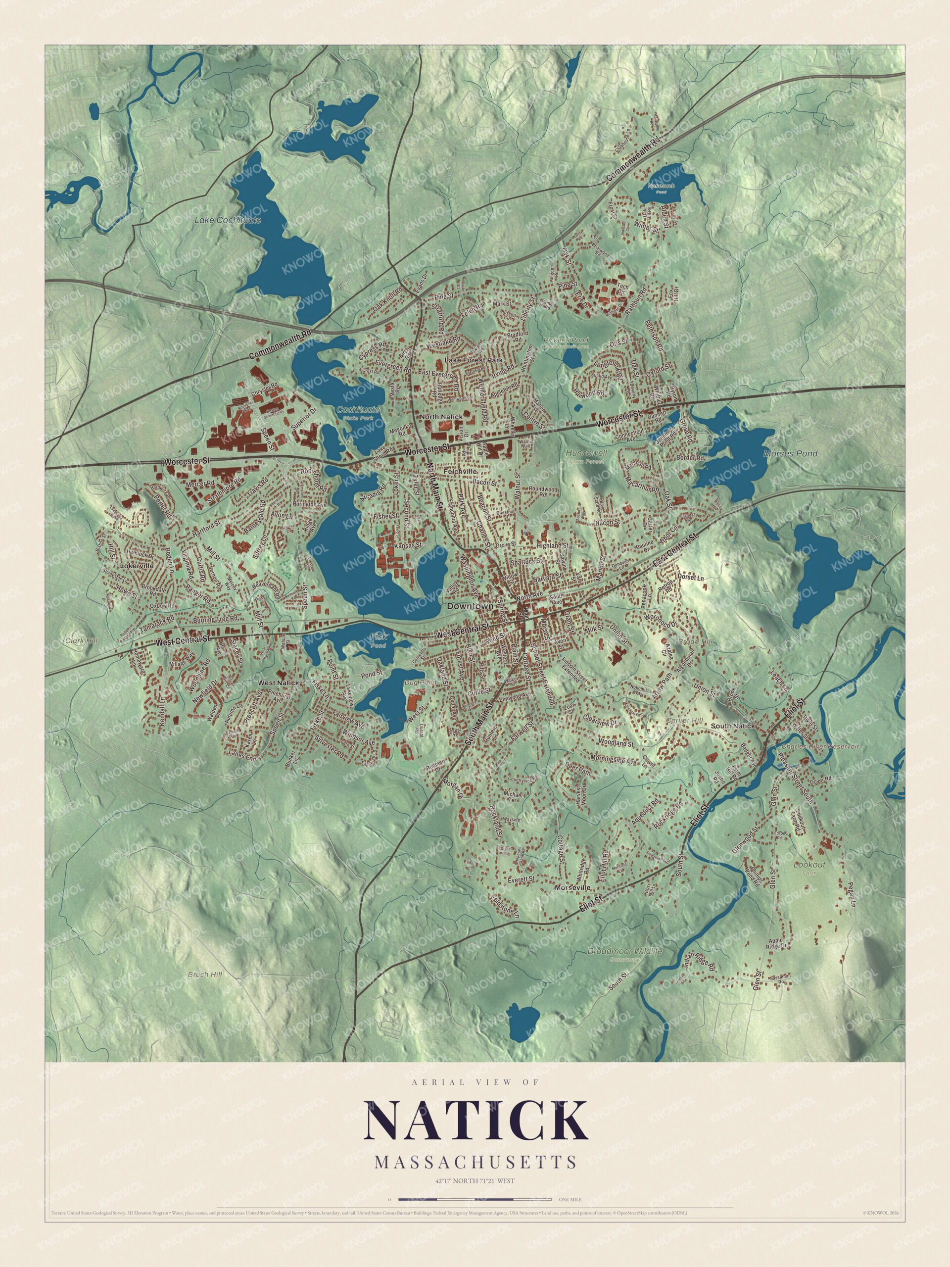
Click to explore a larger preview. The digital watermark does not appear on printed maps.
Names on this map
These names are printed on this map.
Places: Downtown, South Natick, Broad Hill, Brush Hill, Carver Hill, Clark Hill, Charles River Reservoir, Dug Pond, Lake Cochituate, Morses Pond, Broadmoor Wildlife Sanctuary, Cochituate State Park, Fisk Pond, Hunnewell Town Forest, Lookout Farm, Nonesuch Pond, Pickerel Pond Conservation Area, Felchville, Lake Forest Park, Lokerville, Morseville, North Natick, West Natick and West Hill Park.
Streets and roads: North Main Street, South Main Street, East Central Street, West Central Street, Worcester Street, Eliot Street, Commonwealth Road, Speen Street, Bacon Street, Oak Street, Union Street, Hartford Street.
More street names, A to Z
Alden Street, Algonquian Drive, Apple Hill Drive, Apple Ridge Drive, Appleton Road, Aqueduct Road, Arbor Circle, Arcadia Road, Arrow Path, Austin Way, Autumn Lane, Avon Lane, Avon Street, Azalea Circle, Badger Avenue, Barnesdale Road, Bay State Road, Beacon Street, Beaverdam Road, Belmore Road, Bennett Street, Beverly Road, Birch Road, Bishop Street, Boden Lane, Border Road, Boston Scientific Place, Bradford Road, Briarwood Road, Brookdale Road, Brook Street, Bunker Lane, Burning Tree Road, Byron Road, Carter Drive, Cedar Avenue, Cedar Terrace, Cemetery Street, Centre Street, Charles Street, Chestnut Street, Chrysler Road, Cider Mill Lane, Clearview Drive, Clover Lane, Clubhouse Lane, Connecticut Avenue, Cottage Street, Countryside Road, Crescent Street, Crest Road, Curtis Road, Curve Street, Cypress Road, Darby Court, Deepwoods Drive, Deer Path, Donovan Lane, Dorset Lane, Dover Road, Durant Road, Dwight Avenue, East Evergreen Road, Eastleigh Lane, Edson Road, Eliot Hill Road, Elmwood Avenue, Erie Drive, Euclid Avenue, Evans Drive, Everett Street, Evergreen Road, Fairview Avenue, Fairway Circle, Farm Hill Road, Farwell Street, Felch Road, Fern Street, Fieldstone Lane, First Street, Fisher Street, Fiske Lane, Fiske Street, Forest Avenue, Fox Hill Drive, Franconia Avenue, Frost Street, Gannett Road, Glen Street, Glenwood Street, Grant Street, Grist Mill Lane, Grove Road, Grove Street, Hampton Road, Hardwick Road, Harvard Street, Harvest Moon Drive, Harwood Road, Hemlock Drive, Highland Street, High Street, Hill Street, Home Avenue, Homeward Lane, Hopewell Farm Road, Hovey Avenue, Howe Street, Hunters Lane, Huntington Street, Indian Ridge Road, Irving Road, Jennings Pond Road, Jennison Circle, Justin Road, Kansas Street, Karen Lane, Kendall Lane, Lake Shore Road, Lakeview Avenue, Lamplight Circle, Lanes End, Langdon Road, Lantern Lane, Leach Lane, Liberty Street, Lincoln Street Extended, Loker Street, Longfellow Road, Lookout Farm Road, Lupine Road, Macarthur Road, Mainstone Road, Main Street, Manor Avenue, Marion Street, Mark Street, Marshall Road, Megonko Road, Melody Way, Mercer Road, Merifield Lane, Michael Terrace, Michigan Drive, Milk Street, Mill Street, Moccasin Path, Morgan Drive, Morningside Avenue, Morse Street, Nancy Road, Newfield Drive, Nokomis Way, North Avenue, Nouvelle Way, Oak Hill Road, Oak Knoll Road, Oakland Street, Oakridge Avenue, Otis Street, Oxbow Road, Oxford Street, Pamela Road, Park Avenue, Pauline Drive, Pegan Lane, Penacook Lane, Peterson Road, Phillips Pond Road, Pinehurst Avenue, Pine Street, Pitts Street, Plain Street, Pleasant Street South, Point Street, Pond Street, Porter Road, Prescott Avenue, Pumpkin Pine Road, Purington Avenue, Ranger Road, Rathbun Road, Redmen Drive, Retrop Road, Ridge Avenue, River Street, Robinhood Road, Rockland Street, Rockridge Road, Rolling Lane, Roundwood Road, Russell Circle, Rutledge Road, Samuel Path, Sassamon Road, Sawin Street, School Street Extended, Second Street, Shady Oak Lane, Shattuck Street, Sheffield Road, Sherwood Road, Silver Hill Lane, South Avenue, South Street, Spring Street, Stacey Street, Stratford Road, Strathmore Road, Superior Drive, Surrey Lane, Sylvester Road, Tamarack Road, Tech Circle, Third Street, Travis Road, Tyler Street, Vale Street, Valley Road, Vernon Road, Vesta Road, Village Way, Virginia Road, Vision Drive, Walcott Street, Walden Drive, Walnut Avenue, Walnut Street, Washington Avenue, Water Street, Watson Street, Wayside Road, Wentworth Road, Western Avenue, Westfield Road, Westlake Road, West Street, Wethersfield Road, Wheeler Lane, Whitridge Road, Whittier Road, Willow Street, Wilson Drive, Windsor Avenue, Winter Street, Woodbine Road, Woodland Street, Woronoco Drive, Zoar Street.
See it on a wall
The Natick map as a framed print. Swipe for more.


Around the map
Start with South Natick, then follow North Main Street, South Main Street, East Central Street, West Central Street, Worcester Street and Eliot Street across town. Then look outward toward Felchville, Lake Forest Park, Lokerville, Morseville and North Natick. Dug Pond, Lake Cochituate, Morses Pond, Broad Hill, Brush Hill, Carver Hill and the Charles River Reservoir are all labeled on the map, and every one of those names is printed directly on the artwork. South Natick is where the town began on the shores of the Charles River, and Eliot Street, which runs parallel to the river, has some of Natick’s oldest homes. The town hall, the police and fire stations and the Morse Institute Library stand along East Central Street. Dug Pond has Memorial Beach and Natick High School on its shores; by legend it was dug out of level ground for pasture and filled with rain, and it gave its name to Pond Street. Lake Cochituate, which lies in Natick, Wayland and Framingham, was built as Boston’s first major water supply and served the city until 1951.
The Natick map makes a fine addition to an office, library or den, and it can help teach children the geography and history of a town that began as a praying town on the Charles. It’s made for people who call Natick home, from South Natick to North Natick, and it shows the town as it looks today. Zoom in on the preview above to explore the details, then click here to get your copy of the Natick, Massachusetts map.

Sources