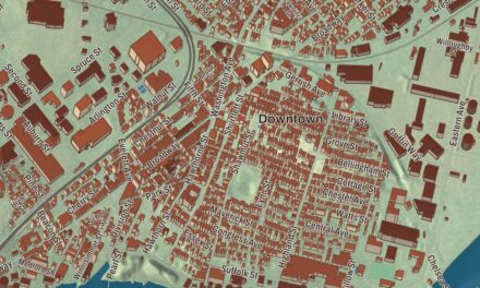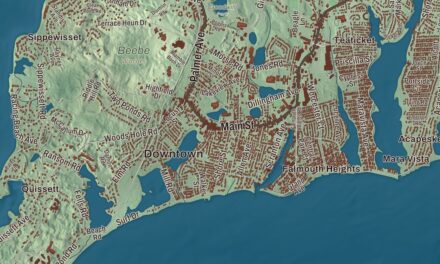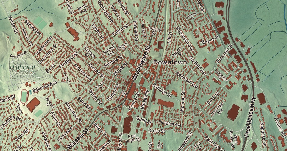
Norwood’s town seal pictures Captain Aaron Guild and his oxen, the patriot who left his plow in a field here in 1775. This map prints the town around that field, Washington Street, Walpole Street, Chapel Street, Upland Road, Providence Highway and Blue Star Memorial Highway, with Willett Pond, Ellis Pond and Bird Pond. Click here to purchase a print of this map for your wall.
Norwood is in Norfolk County.
KNOWOL made this map in 2026 from public survey data and gave it the look of an old atlas. United States Geological Survey elevation data shapes the land, and the Census Bureau supplied the streets and the town line. Norwood covers 10.6 square miles about 13 miles southwest of Boston and had 31,611 people at the 2020 census. It lies on the Neponset River, which runs from Foxborough all the way to Boston Harbor, and its steep upper stretch through Foxborough, Walpole and Norwood brought the river to prominence in the earliest years of the Industrial Revolution.
Out of Dedham
Native people long used this land as a hunting ground. The Town of Norwood’s recorded history, in the Secretary of the Commonwealth’s list, dates European settlement to 1678, when Ezra Morse set up a sawmill in what’s now South Norwood, and farming families followed over the next half century. Until 1872 Norwood was part of Dedham, known as the “mother of towns,” as fourteen of today’s eastern Massachusetts communities lay inside its first borders. Norwood was incorporated as a town in 1872, named after Norwood in England; the townspeople had also considered Balch, after the Reverend Thomas Balch.
When word came on April 19, 1775, that the British were marching on Lexington and Concord, Captain Aaron Guild of the local Minuteman company left his plow in the furrow and his oxen standing, rode to the fight and fired on the British at Concord Bridge. A memorial stone dedicated in 1903 stands near the spot, outside the public library, and he appears in the stained glass of the Norwood Memorial Municipal Building, the granite town hall dedicated in 1928, which people often take for a church. Its tower holds the Walter F. Tilton Memorial Carillon, 50 bells, one of nine carillons in Massachusetts. Abraham Lincoln passed through town on his tour of New England before his inauguration.
Tanners, photographers and makers
Francis Olney Winslow built the Oak View mansion between 1868 and 1870 and hosted William Howard Taft and Calvin Coolidge there. Frank G. Allen worked in Winslow’s tannery, rose to president of the Winslow Brothers and Smith Company, and served as governor of Massachusetts from 1929 to 1931. He and his brother-in-law George Willett gave land and money for new schools and a hospital in the 1920s and 1930s. The photographer and publisher F. Holland Day, whose reputation once rivaled Alfred Stieglitz’s, made his long-time home here; his firm, Copeland and Day, was the American publisher of Oscar Wilde’s Salome. His house at 93 Day Street, rebuilt in the Tudor Revival style in 1890 to 1892, is the headquarters of the Norwood Historical Society. In 1955 the United Fruit Company bought the Forbes estate in Norwood and built a banana research center, where it developed and later patented freeze-dried fruits, vegetables and seafood, and Moderna opened a site in Norwood in 2018; its Norwood facilities serve as its primary manufacturing plant and produce its COVID-19 vaccine. The town remains part of Norfolk County today.
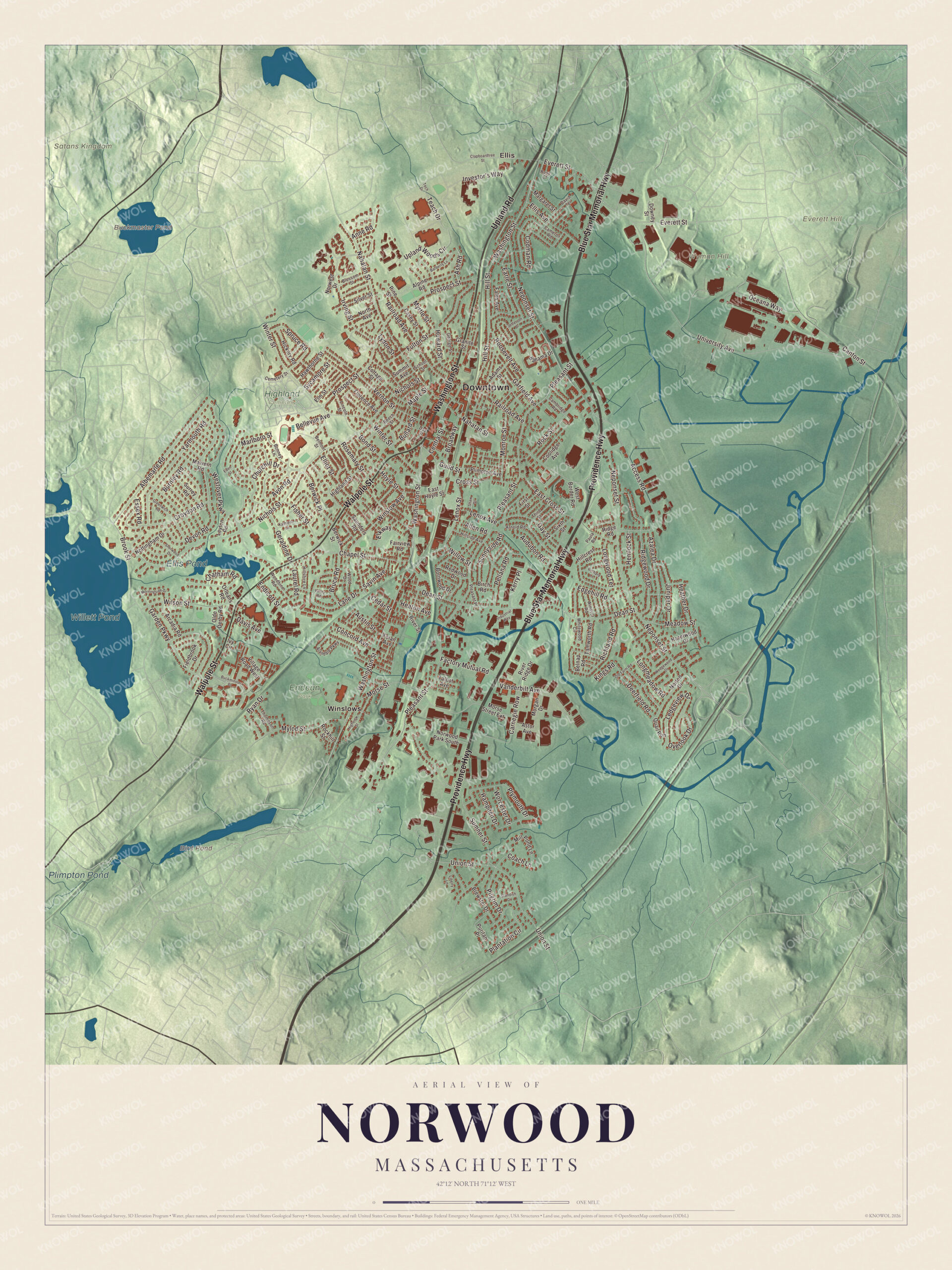
Click to explore a larger preview. The digital watermark does not appear on printed maps.
Names on this map
These names are printed on this map.
Places: Downtown, Everett Hill, Satans Kingdom, Wyman Hill, Bird Pond, Buckmaster Pond, Willett Pond, Ellis Pond, Plimpton Pond, Endean Park, Highland Cemetery, Ellis and Winslows.
Streets and roads: Washington Street, Upland Road, Blue Star Memorial Highway, Walpole Street, Providence Highway, Chapel Street, Brook Street, Sycamore Street, Union Street, Churchill Drive, Bullard Street, Nichols Street.
More street names, A to Z
Access Road, Adams Street, Alandale Parkway, Albemarle Road, Allen Road, Alpine Road, Anne Road, Arcadia Road, Arnold Road, Ash Road, Astor Avenue, Audubon Road, Austin Street, Avon Road, Azalea Drive, Bahama Drive, Barberry Lane, Beech Street, Bellevue Avenue, Belmont Street, Belnap Road, Berwick Place, Berwick Street, Birch Road, Blossom Street, Bond Street, Bonney Lane, Bornwood Drive, Brewster Drive, Broadway, Bruce Road, Buckminster Drive, Burnley Road, Cambridge Road, Cameron Road, Canton Street, Carnegie Row, Casey Street, Cedar Street, Cemetery Street, Central Street, Chatham Road, Clapboardtree Street, Coach Lane, Codman Road, Concord Avenue, Coolidge Avenue, Cottage Street, Cross Street, Croydon Road, David Terrace, Davis Avenue, Day Street, Dean Street, Deerfield Road, Devon Road, Downey Street, Earle Street, East Cross Street, East Hoyle Street, Eden Street, Edgehill Road, Elkway, Elliot Street, Ellis Avenue, Elm Street, Endicott Street, Essex Road, Everett Street, Factory Mutual Road, Fairview Road, Fales Avenue, Fieldbrook Drive, First Street, Fisher Street, Florence Avenue, Folan Avenue, Fulton Street, Garden Parkway, Garfield Avenue, Gay Street, George Street, Geraldine Drive, Granite Street, Greenwich Road, Guild Street, Hampden Drive, Hawthorne Street, Hazelwood Drive, Heather Drive, Heaton Avenue, Hemlock Street, Hickory Road, Highland Street, Highview Street, Hillcrest Road, Hillshire Lane, Hillside Avenue, Hill Street, Howard Street, Hoyle Street, Industrial Way, Investor's Way, Irving Street, Ivy Circle, Jefferson Drive, Juniper Drive, Kathleen Lane, Kerry Place, Kings Road, Lane Drive, Laurel Road, Ledgeview Drive, Lenox Avenue, Lenox Street, Leyton Road, Liberty Lane, Lincoln Street, Longmeadow Road, Longwood Terrace, Lydon Street, Malvern Road, Maple Street, Margaret Street, Marlboro Street, Meadow Street, Mill Pond Lane, Monroe Street, Morgan Drive, Morningside Drive, Morse Street, Morse Street Extension, Mylod Street, Myrtle Street, Nahatan Street, Neponset Street, North Avenue, Norton Drive, Norwest Drive, Norwood Park South, Nottingham Drive, Oceana Way, Olde Derby Road, Old Farm Road, Orchard Lane, Orleans Road, Overlook Drive, Paula Road, Pellana Road, Pilgrim Drive, Pine Street, Plantation Circle, Pleasant Place, Pleasant Street, Plimpton Avenue, Plymouth Drive, Prospect Street, Puritan Place, Quail Run, Railroad Avenue, Redwood Drive, Richland Road, Ridge Road, Ridgewood Drive, River Ridge Drive, River Street, Rockhill Street, Rock Street, Roosevelt Avenue, Rose Court, Rosemary Street, Ryan Drive, Saunders Road, Savin Avenue, School Street, Shaw Street, Sherwood Drive, Silver Street, Sixth Street, Spruce Road, Standish Drive, Summit Avenue, Sumner Street, Sunnyside Road, Surrey Road, Talbot Avenue, Tamworth Road, Teach Drive, Tech Drive, Third Street, Thompson Road, University Avenue, Upland Woods Circle, Valley Road, Vanderbilt Avenue, Vernon Street, Village Road West, Wedgewood Drive, West Border Road, Westover Parkway, Whitewood Circle, Willow Street, Wilson Street, Windsor Road, Winslow Avenue, Winter Street, Woodbine Road, Wood Drive, Worcester Drive, Yarmouth Road.
See it on a wall
The Norwood map as a framed print. Swipe for more.


Around the map
Start with Ellis. Follow Washington Street, Upland Road, Blue Star Memorial Highway, Walpole Street, Providence Highway and Chapel Street across town. Then look outward toward Winslows. Bird Pond, Buckmaster Pond, Willett Pond, Ellis Pond, Everett Hill and Wyman Hill are all printed on the map. Buckmaster Pond, a kettle pond, lies over the line in Westwood; Norwood bought its water rights in 1885 and drew town water from it until the late 1970s.
The Norwood map is a fine addition to an office, library or den, and it can help teach children the geography and history of a Neponset River town. It’s made for anyone who calls Norwood home, from Ellis to Winslows, and it shows the town as it looks today. Zoom in on the preview above to explore the details, then click here to get your copy of the Norwood, Massachusetts map.

Sources
- Norwood, Massachusetts, Wikipedia
- Neponset River, Wikipedia
- Norwood Memorial Municipal Building, Wikipedia
- Frank G. Allen, Wikipedia
- F. Holland Day, Wikipedia
- Fred Holland Day House, Wikipedia
- Buckmaster Pond, Wikipedia
- City and Town Incorporation and Settlement Dates, Secretary of the Commonwealth of Massachusetts (archived copy)