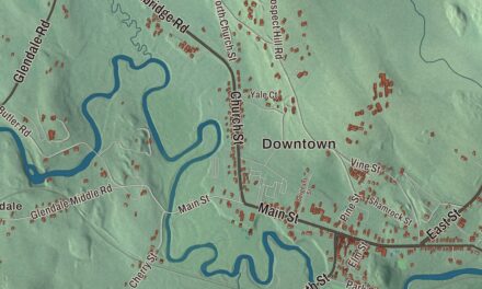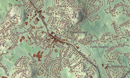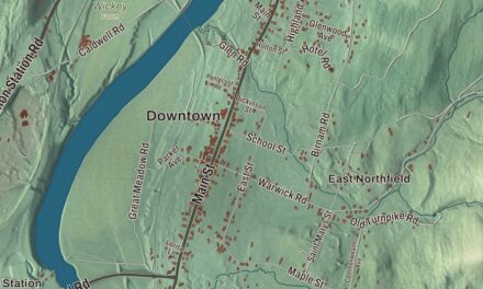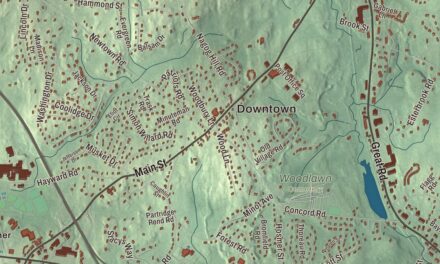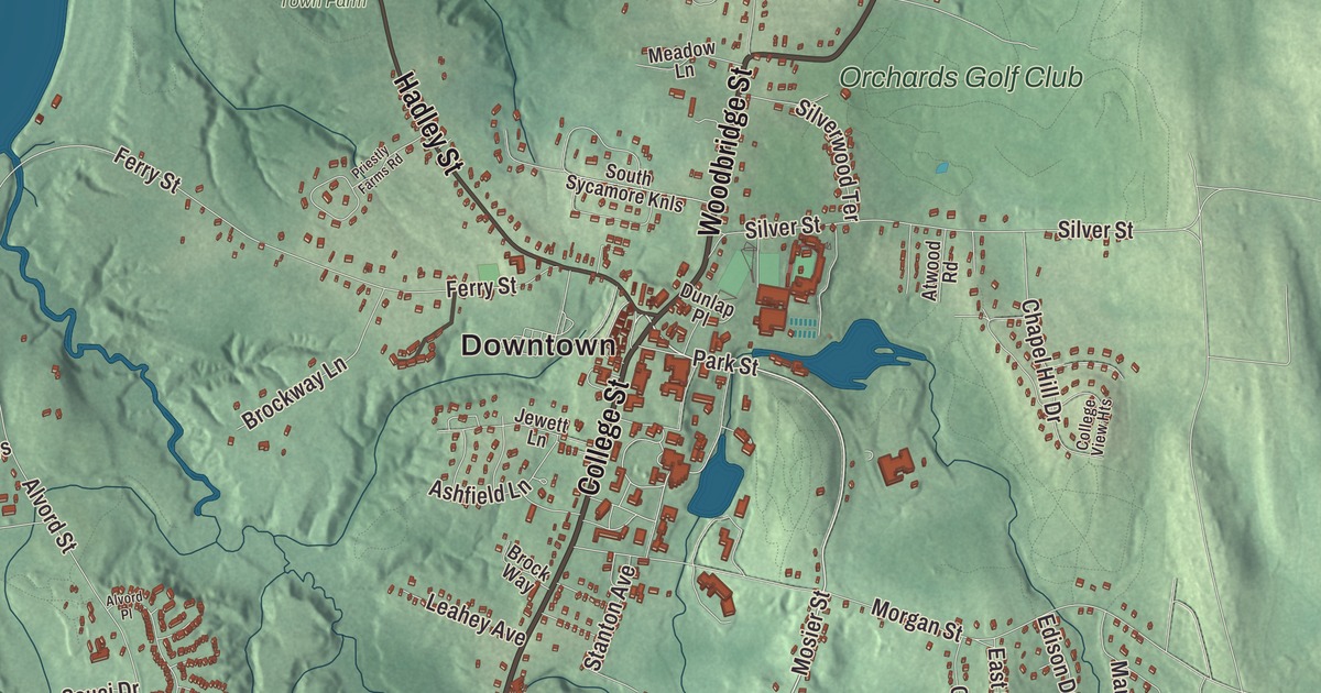
South Hadley sits between the Holyoke Range and the Connecticut River, and this map lays the town out from South Hadley Falls and Bridge Street up College Street and Newton Street to Moody Corner, Great Swamp, Aldrich Lake and Cold Hill. Click here to purchase a print of this map for your wall.
South Hadley is in Hampshire County.
KNOWOL made this map in 2026 from public survey data and gave it the feel of an old atlas page. United States Geological Survey elevation data shapes the ridges, and the roads and the town line come from the Census Bureau. South Hadley covers 18.4 square miles in the Pioneer Valley. The Connecticut River forms its western border, across from Holyoke and Easthampton, and the Holyoke Range runs through its north end, between South Hadley and the towns of Hadley and Amherst. There are 12 reservoirs in town, fed by eight streams and six natural ponds. South Hadley had 18,150 people at the 2020 census.
Around the falls
The land was an unsettled part of Hadley from 1659 until 1721, when English settlers moved in from Hadley. The Town of South Hadley’s recorded history, in the Secretary of the Commonwealth’s list, dates European settlement to 1659. South Hadley held its own town meeting from 1753, and it was incorporated as a town in 1775.
The Great Falls at South Hadley drop 53 feet, and before the canal every cargo had to be unloaded and hauled 2.5 miles overland around them. Leading citizens of western Massachusetts proposed a canal in 1792, Governor John Hancock signed its charter, and about 240 local workers built it. The South Hadley Canal opened to traffic in April 1795, the earliest navigable canal in the United States. Instead of locks it first used an inclined plane: flatboats rode a cart up or down a 275-foot stone ramp, pulled by two waterwheels, in about 15 minutes. It was the first use of an inclined plane on an American canal. Five locks replaced it in 1805, and in 1826 the Barnet, the first steamboat on the Connecticut River, passed through on its way to Vermont. The canal closed in 1862, and its remains are kept at the Bicentennial Canal Park, with views across the river to the Mount Tom Range.
In 1802, while plowing, Pliny Moody turned up a slab of sandstone with large, mysterious footprints. It was the first confirmed evidence of a dinosaur found in North America, 40 years before scientists named dinosaurs as a group. The slab was called “Noah’s Raven,” and Professor Edward Hitchcock, who believed the tracks were made by giant ancient birds, later obtained it; it’s now on display in the Beneski Museum of Natural History at Amherst College.
Mary Lyon’s seminary
Mary Lyon, a pioneer in education for women, opened Mount Holyoke Female Seminary in South Hadley on November 8, 1837, and served as its first principal for 12 years. The town donated the land and the main building. She kept tuition to $60 a year, and the students each did an hour of work a day, cooking, cleaning and keeping the grounds. Today Mount Holyoke College is the oldest of the Seven Sisters colleges and the oldest continuously operating institution of higher education for women. Its 800-acre campus, landscaped by Olmsted and Sons between 1896 and 1922, holds a botanic garden, two lakes and several waterfalls, and the college is by far the largest employer in the area. The Nobel Prize-winning poet Joseph Brodsky taught there from 1974.
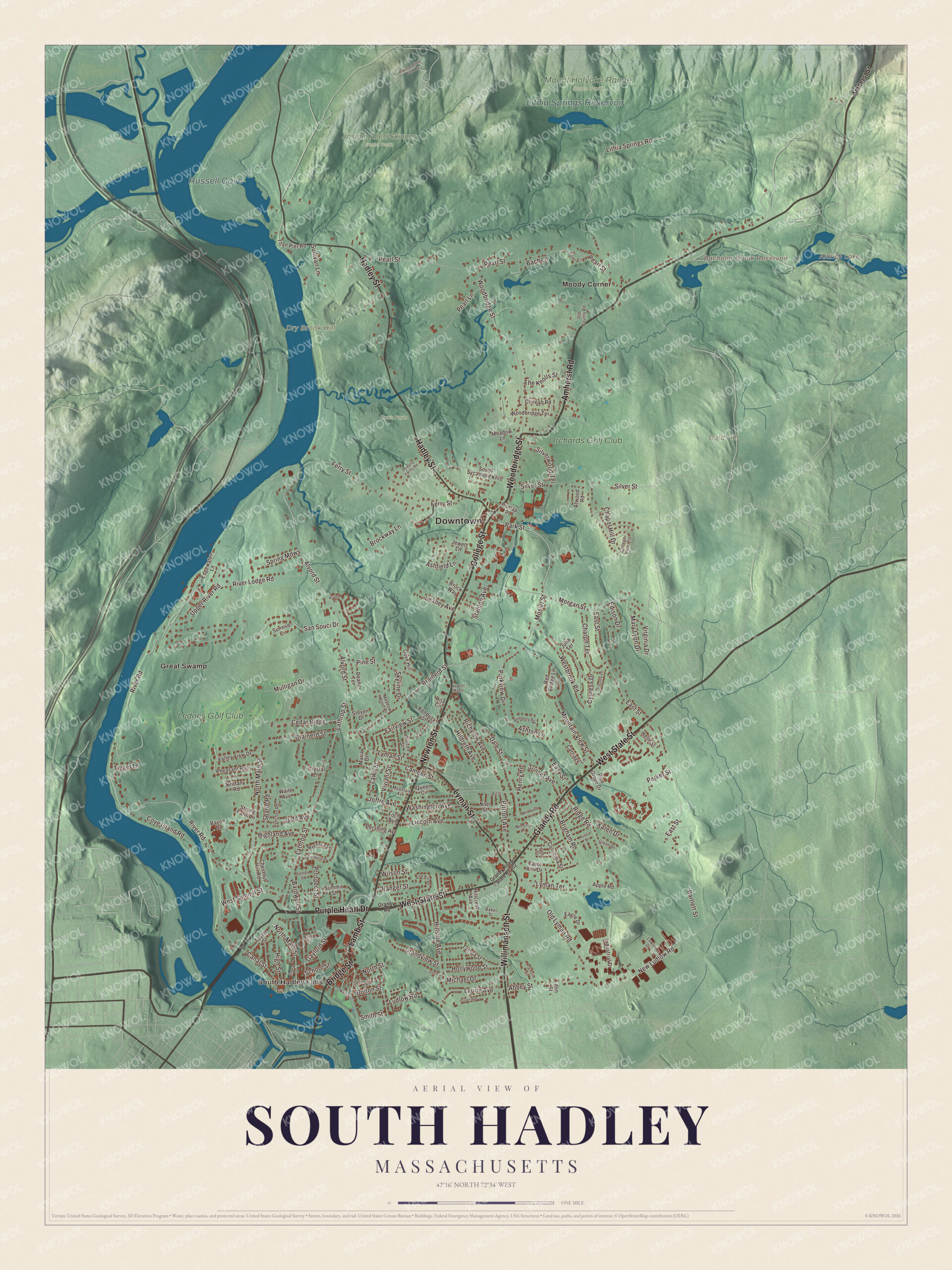
Click to explore a larger preview. The digital watermark does not appear on printed maps.
Names on this map
These names are printed on this map.
Places: Downtown, South Hadley Falls, Cold Hill, Dry Brook Hill, Aldrich Lake, Bachelor Brook Reservoir, Russell Cove, Lithia Springs Reservoir, Joseph Allen Skinner State Park, Mount Holyoke Range State Park, Town Farm, Great Swamp, Moody Corner, Ledges Golf Club and Orchards Golf Club.
Streets and roads: Purple Heart Drive, West State Street, Newton Street, Bridge Street, Lamb Street, College Street, Woodbridge Street, Willimansett Street, Amherst Road, Lyman Street, Hadley Street, Grandy Road.
More street names, A to Z
Abbey Street, Alvord Place, Alvord Street, Amherst Street, Ann Street, Apple Road, Art Street, Ashfield Lane, Ashton Lane, Atwood Road, Bach Lane, Baker Street, Bardwell Street, Bartlett Street, Bayon Drive, Benoit Lane, Blueberry Bnd, Bolton Street, Brainerd Street, Brigham Road, Brittany Road, Brock Way, Brockway Lane, Camden Street, Canal Street, Carew Street, Carlton Street, Carol Ann Drive, Carriage Lane, Cedar Ridge, Chapel Hill Drive, Charon Terrace, Chestnut Hill Road, Chileab Road, College View Heights, Columbia Street, Country Lane, Cove Island Road, Crystal Lane, Cypress Drive, Dale Street, Doane Terrace, Dove Hill, Dunlap Place, Eagle Drive, East Street, Easy Street, Edgewater Lane, Edison Drive, Elm Street, Fairview Street, Ferry Street, Foch Avenue, Forest Drive, Fulton Street, Gaylord Street, Glenn Drive, Granby Road, Grandview Street, Helm Street, Henry Road, Highland Avenue, High Street, Hildreth Avenue, Hillcrest Avenue, Hillside Avenue, Hollywood Street, Industrial Drive, Jewett Lane, Joffre Avenue, John Lane, Judd Avenue, Julia Terrace, Karen Drive, Kendrick Street, Kimberly Drive, Lathrop Street, Laurie Avenue, Lawler Drive, Lawn Street, Leahey Avenue, Lincoln Avenue, Lithia Springs Road, Ludlow Road, Lyman Terrace, Magnolia Terrace, Main Street, Maria Drive, Mary Lyon Drive, Meadow Lane, Meadow Wood Drive, Michael Drive, Morgan Street, Mosier Street, Mountain Avenue, Mountain View Street, Mulligan Drive, New Ludlow Road, Newton Manor, Noel Street, North Main Street, North Street, Old County Road, Old Lyman Road, Parker Street, Park Street, Parkview Drive, Pearl Lane, Pearl Street, Pershing Avenue, Pheasant Run, Pine Grove Drive, Pine Hill Road, Pine Street, Pittroff Avenue, Plainville Circle, Priestly Farms Road, Prospect Street, Pynchon Road, Queen Circle, Ranger Street, Red Bridge Lane, Richview Avenue, Ridge Road, Rita Circle, River Lodge Road, River Road, San Souci Drive, School Street, Searle Road, Silver Street, Silverwood Terrace, Skinner State Park Road, Skyline Drive, Smith Street, Sorbi Circle, South Street, South Sycamore Knls, Spring Mdws, Stanton Avenue, Steven Drive, Strong Farm Lane, Sullivan Lane, Summit Street, Sunrise Circle, Sunset Avenue, Susan Avenue, Tampa Street, Taylor Street, The Knolls Street, Tigger Lane, Titan Pier Road, Upper River Road, Valley View Drive, Virginia Drive, Viviani Street, Waite Avenue, Washington Avenue, Westbrook Road, West Summit Street, Wildwood Lane, Wilson Street, Woodbridge Terrace, Yale Street.
Around the map
Start with South Hadley Falls. Follow Purple Heart Drive, West State Street, Newton Street, Bridge Street, Lamb Street and College Street across town. Then look outward toward Great Swamp and Moody Corner. Aldrich Lake, Bachelor Brook Reservoir, Russell Cove, Lithia Springs Reservoir, Cold Hill and Dry Brook Hill are all printed on the map. South Hadley Falls, across the river from Holyoke, is one of the town’s business centers, and the Village Commons stands where Routes 116 and 47 meet in South Hadley Center. In the center of the town common, the Civil War Monument, believed to be the work of Jerome Connor, was a gift of William H. Gaylord, whose family also gave the Gaylord Memorial Library near the center of town. Up on the range, J. A. Skinner State Park, in Hadley and South Hadley, surrounds Mount Holyoke, where the Prospect House summit hotel opened in 1851; its original building was restored by the state in the 1980s.
The South Hadley map makes a welcome addition to an office, library or den, and it can help teach children the geography and history of a college town on the Connecticut River. It’s made for people who call South Hadley home, from South Hadley Falls to Moody Corner, and it shows the town as it looks today. Zoom in on the preview above to explore the details, then click here to get your copy of the South Hadley, Massachusetts map.

We made a map for every town and city in Massachusetts. Explore the complete Massachusetts map collection and find your town.
Sources