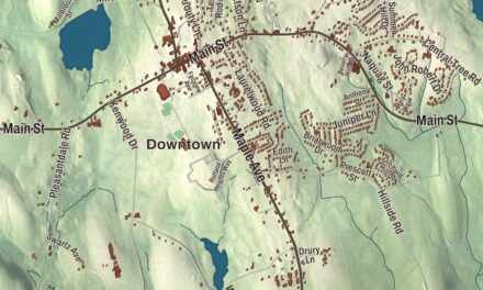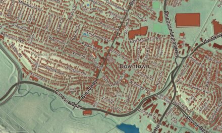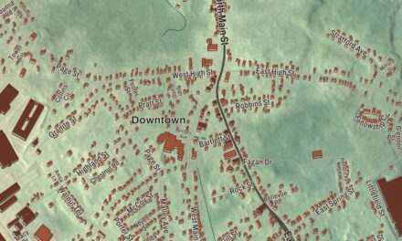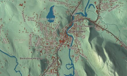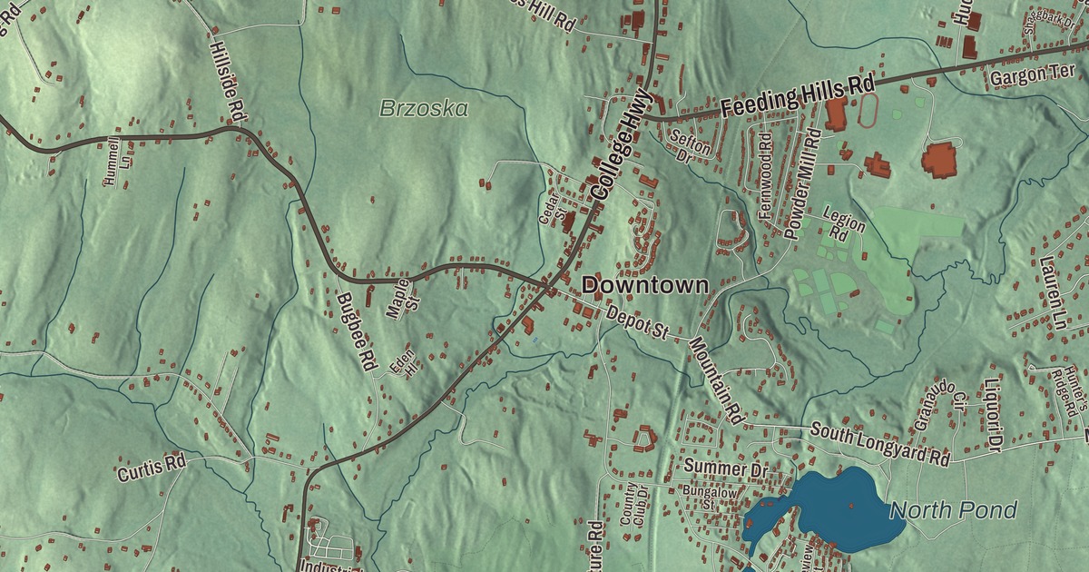
Southwick’s southern edge dips below the otherwise straight state line. This map shows the whole town, from Hosmer Corner and College Highway to Congamond Road, Congamond, North Pond, Vining Hill and Huckleberry Mountain. Click here to purchase a print of this map for your wall.
Southwick is in Hampden County.
KNOWOL made this map in 2026 from public survey data and gave it the character of an old atlas. United States Geological Survey elevation data shapes the ridges, and the roads and the town line come from the Census Bureau. Southwick covers 31.7 square miles, bordered by Westfield on the north, Agawam and Suffield, Connecticut, on the east, Suffield and Granby on the south, and Granby and Granville on the west. College Highway, which is U.S. Route 202, runs 5 miles north from the town center to Westfield and 7 miles south to Granby, Connecticut. Southwick had 9,232 people at the 2020 census.
The south village
English settlers moving up the Connecticut River valley in the mid-1600s looking for farmland found this country, and it became a farming area, the southern village, or “wick,” of Westfield. People nicknamed it “Poverty Plains,” since the land was thought to be poor. Its first house was built by Samuel Fowler and his wife, Naomi Noble, on what is now College Highway, about a quarter mile north of today’s town center, and the Laflin-Phelps Homestead, built soon after settlement, is the oldest building still standing in Southwick. By the 1760s and 1770s about 800 people lived here and had to travel to Westfield for church. On November 7, 1770, Southwick was set off as a separate district of Westfield. The Town of Southwick’s recorded history, in the Secretary of the Commonwealth’s list, dates European settlement to 1770, and Southwick was incorporated as a town in 1775.
Between 1642 and 1804, Massachusetts and Connecticut disputed the land along Southwick’s southern line. When the two finally settled the line in 1804, a two-square-mile salient known as the Southwick Jog stayed with Massachusetts, and Southwick became the southernmost town in western Massachusetts. Amasa Holcomb, born in 1787, grew up in a town that had three names in two states without ever moving. He built a telescope in 1806, watched the total solar eclipse of June 16 that year, and went on to make telescopes and surveying instruments; an asteroid, 45512 Holcomb, is named for him.
Canal, rails and the lakes
In the early 1800s, the canal from New Haven to Northampton was dug through Southwick with the help of Irish immigrant laborers, and by 1830 it was open as far as Southwick and the Congamond Lakes. Developers called Southwick the “Port of the World.” Winter ice, summer drought and beaver dams made the canal hard to run, and a railroad built beside it in the late 1840s took its place. Traces of the canal still turn up around Great Brook and the Congamond Lakes, which earlier peoples called Wenekeiamaug. The railroad brought ice harvesting and summer resorts to the lakes. Hotels, dance halls and a small amusement park drew vacationers from Springfield, Hartford, Worcester, Boston, Albany and New York, and trains made a special stop where visitors got off to swim or take canopied pleasure boats. Ice cut from the lakes was stored in big ice houses and shipped by rail to cities from New York to Boston. The last train ran around 1976, and the old line is now the Farmington Canal Rail Trail to Granby.
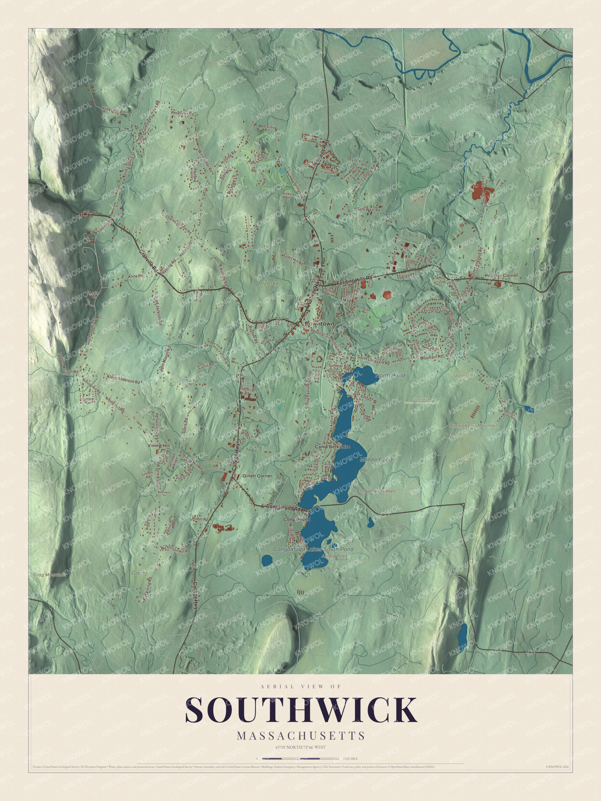
Click to explore a larger preview. The digital watermark does not appear on printed maps.
Names on this map
These names are printed on this map.
Places: Downtown, Hosmer Corner, Bush Hill, Crag Mountain, Huckleberry Mountain, Arnold Pond, Congamond Lakes, Middle Pond, Congamond Lakes South Pond, North Pond, Brzoska, Gregg, Southwick Wildlife Management Area, Steere, Utzinger, Camp Berkshire, Congamond, Gillett Corner and Vining Hill.
Streets and roads: Granville Road, Congamond Road, College Highway, Feeding Hills Road, Depot Street, Loomis Road, Kline Road, Mountain Road, South Longyard Road, South Loomis Street, North Longyard Road, Vining Hill Road.
More street names, A to Z
Babb Road, Berkshire Avenue, Bugbee Road, Bungalow Street, Cedar Street, Charles Johnson Road, Coes Hill Road, Country Club Drive, Crystal Drive, Curtis Road, Dairy Lane, Davis Road, Deer Run, Eden Hl, Ed Holcomb Road, Fernwood Road, Ferrin Drive, Foster Road, Fred Jackson Road, Gable View Lane, Gargon Terrace, George Loomis Road, Granaudo Circle, Great Brook Drive, Ham Hill Road, Hasting Road, Hastings Road, Hickory Lane, Hillside Road, Honey Pot Road, Hudson Drive, Hummell Lane, Hunter's Ridge Road, Industrial Road, Jeffery Circle, Jered Lane, John Mason Road, Kimberly Drive, Klaus Anderson Road, Lakeview Street, Laro Road, Larro Road, Laurel Ridge Road, Lauren Lane, Legion Road, Lexington Circle, Liberty Lane, Lincoln Road, Liquori Drive, Logie Lane, Maple Street, Matthews Road, Meadow Lane, Miller Road, Mort Vining Road, Nicholson Hill Road, North Loomis Street, Oak Street, Partridge Lane, Patriots Way, Pearl Brook Road, Pine Knoll, Point Grove Road, Pondview Lane, Powder Mill Road, Ranch Club Road, Reservoir Road, Revere Road, Ridgeview Terrace, Rising Corner Road, Robin Road, Sam West Road, Secluded Ridge, Sefton Drive, Shaggbark Drive, Sheep Pasture Road, Shore Road, Sodom Mountain Road, South Village East, Summer Drive, Sunnyside Road, Tannery Road, Tobacco Road, Vinning Hill Road, Washington Terrace, Whalley Way, White Street, Whitewood, Will Palmer Road, Wood Street.
See it on a wall
The Southwick map as a framed print. Swipe for more.


Around the map
Start with Hosmer Corner. Follow Granville Road, Congamond Road, College Highway, Feeding Hills Road, Depot Street and Loomis Road across town. Then look outward toward Congamond, Gillett Corner and Vining Hill. Arnold Pond, Middle Pond, Congamond Lakes South Pond, North Pond, Bush Hill, Crag Mountain and Huckleberry Mountain are all printed on the map. Southwick’s farmland suits tobacco, which is widely grown here as a cash crop. The 114-mile Metacomet-Monadnock Trail passes wetlands near Harts Pond and climbs Provin Mountain, a traprock ridge that forms the town’s eastern border. Matthew Laflin, born at the Laflin-Phelps Homestead in 1803, came from a family that ran a powder mill in Southwick, and he became an early pioneer of Chicago. Rebecca Lobo grew up in Southwick and set the state high school scoring record, 2,740 points, at Southwick-Tolland Regional High School before winning a national championship at the University of Connecticut; she’s in the Women’s Basketball Hall of Fame.
The Southwick map makes a lovely addition to an office, library or den, and it can help teach children the geography and history of a border town on the Congamond Lakes. It’s made for people who call Southwick home, from Hosmer Corner to Congamond, and it shows the town as it looks today. Zoom in on the preview above to explore the details, then click here to get your copy of the Southwick, Massachusetts map.

Sources