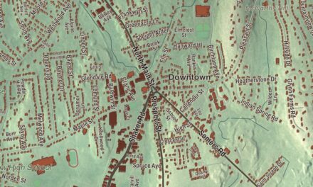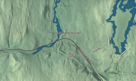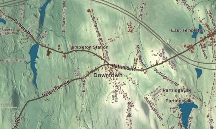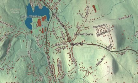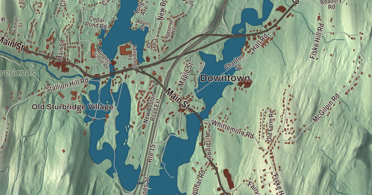
This aerial map of Sturbridge, Massachusetts was created in 2026 using real geographic data to bring the town’s streets, buildings, neighborhoods, ponds and waterways, mountains and ridgelines, and terrain together in one highly detailed view. Look closer and you can pick out the familiar places that make Sturbridge feel like home. Start with the street you know, then see how it connects to the rest of the Sturbridge you call home. Click here to purchase a print of this map for your wall.
Explore an aerial view of Sturbridge, Massachusetts
Start with Downtown and Fiskdale. Follow Main Street, Charlton Road, Brookfield Road, Breakneck Road, Mashapaug Road, and New Boston Road across town. Then look outward toward Old Sturbridge Village.
Carpenter Pond, Cohasse Brook Reservoir, Quacumquasit Pond, Alum Pond, Barnes Hill, Blake Hill, and Carpenter Rocks are all labeled on the map. Every one of those names is printed directly on the artwork, giving you plenty to explore.
The Town of Sturbridge’s recorded history dates European settlement to 1729. Sturbridge was incorporated as a town in 1738. The town remains part of Worcester County today. Click the image below to see the area as it looked in 2026.
Take a closer look at the Sturbridge map
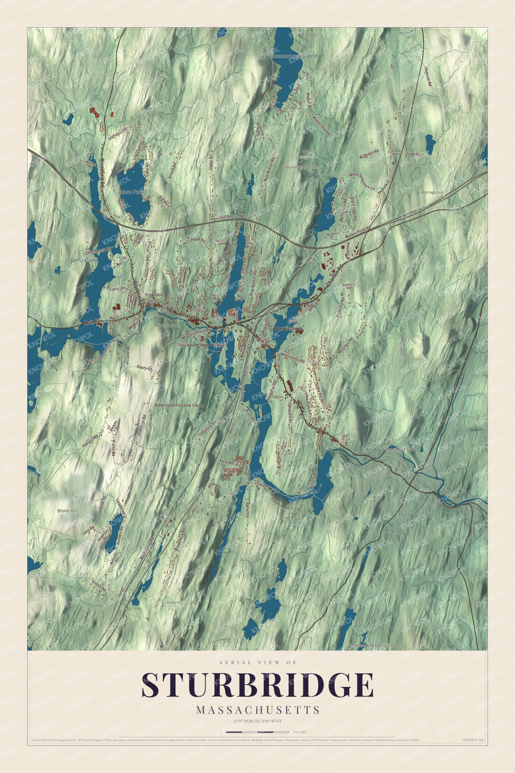
Click to explore a larger preview. The digital watermark does not appear on printed maps.
Names on this map
These names are printed on this map.
Places: Downtown, Fiskdale, Robinson Crusoe Camp, Barnes Hill, Blake Hill, Carpenter Rocks, Carpenter Pond, Cohasse Brook Reservoir, Quacumquasit Pond, Alum Pond, Long Pond, Breakneck Brook Wildlife Management Area, Opacum Woods, Riverlands, Wells State Park and Old Sturbridge Village.
Streets and roads: Main Street, Charlton Road, Brookfield Road, Breakneck Road, Mashapaug Road, New Boston Road, Cedar Street, Leadmine Road, Route 15, River Road, Stallion Hill Road, Big Alum.
More street names, A to Z
Acorn Lane, Adams Street, Allen Road, Arnold Road, Audubon Way, Beaudry Road, Bennets Road, Bennetts Road, Birch Street, Burgess School Road, Bushnell Road, Camp Road, Caron Road, Cedar Pond Road, Champeaux Road, Charlton Street, Clark Road, Cooper Road, Cove Drive, Cricket Drive, Curboy Road, Douty Road, Draper Woods, Fairground Road, Fairview Park Road, Farquhar Road, Finley Road, Fiske Hill Road, Galileo Drive, Glendale Road, Goodrich Road, Hall Road, Hamilton Road, Haynes Street, Heritage Green Drive, Highland, High Street, Hillside Drive, Hinman Street, Holland Road, Kelly Road, Ladd Road, Ladd Road Extended, Lake Road, Lane 7, Lane 8, Lane 9, Lauren Lane, Leadmine Lane, Leno Road, Library Lane North, Long Avenue, Maple Street, McGilpin Road, Mount Dan Road, New Boston Road Extension, North Drive, Old Farm Road, Old Village Road, Orchard Road, Paradise Lane, Park Circle, Picker Road, Pine Avenue, Plimpton Avenue, Podunk Road, Preserve Way, Putnam Road, Ridge Hill Road, Riverview Avenue, Roy Road, Sandy Circle, Shattuck Road, Shepard Road, Shore Road, South Road, South Shore Drive, Stearns Drive, Streeter Road, Tannery Road, Trail Road, Vinton Road, Walker Pond Road, Walker Road, Wallace Road, Warren Road, Wells Park Road, Wells State Park Road, Westwood Drive, Whittemore Road, Wildwood Lane, Willard Road, Woodlawn Drive.
We designed the artwork at KNOWOL using Sturbridge’s real streets, buildings, neighborhoods, ponds and waterways, mountains and ridgelines, and terrain, the town boundary, and the way buildings spread across the town. Then we chose the color, relief, lettering, and layout that make the map look great on the wall.
This beautifully detailed map of Sturbridge makes an attractive addition to your office, library, or den and can even be used to teach children the geography and history of the area. When you’re done exploring, click here to get your copy of the Sturbridge, Massachusetts map.

We made a map for every town and city in Massachusetts. Explore the complete Massachusetts map collection and find your town.