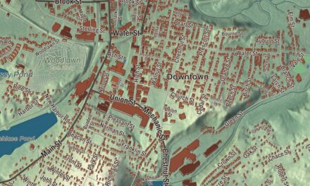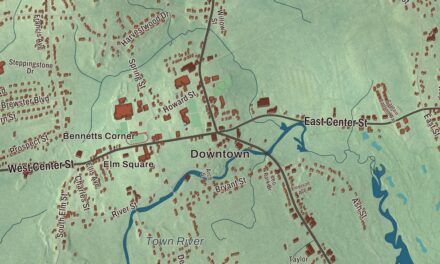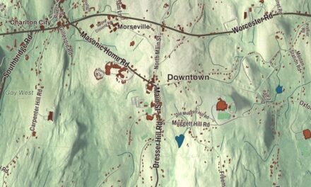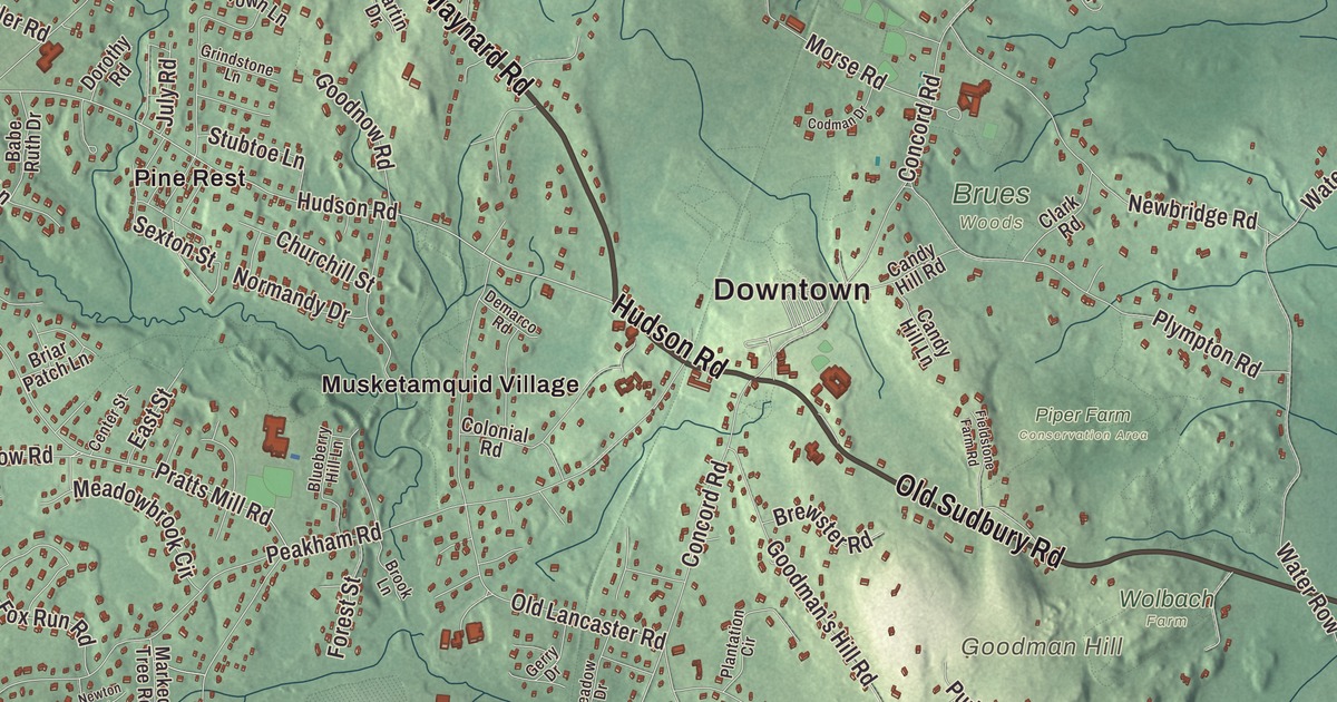
This aerial map of Sudbury, Massachusetts was created in 2026 using real geographic data to bring the town’s streets, buildings, neighborhoods, ponds and waterways, parks, mountains and ridgelines, and terrain together in one highly detailed view. Look closer and you can pick out the familiar places that make Sudbury feel like home. Start with the street you know, then see how it connects to the rest of the Sudbury you call home. Click here to purchase a print of this map for your wall.
Explore an aerial view of Sudbury, Massachusetts
Start with Downtown and East Sudbury Station. Follow North Road, Maynard Road, Hudson Road, Old Sudbury Road, Boston Post Road, and Great Road across town. Then look outward toward Musketamquid Village, North Sudbury, Pine Lake, Pine Rest, and South Sudbury.
Assabet River Reservoir, Blanford Pond, White Pond, Heard Pond, Memorial Forest, Nobscot Scout Reservation, Doeskin Hill, Flagstaff Hill, and Goodman Hill are all labeled on the map. Every one of those names is printed directly on the artwork, giving you plenty to explore.
The Town of Sudbury’s recorded history dates European settlement to 1638. Sudbury was incorporated as a town in 1639. The town remains part of Middlesex County today. Click the image below to see the area as it looked in 2026.
Take a closer look at the Sudbury map
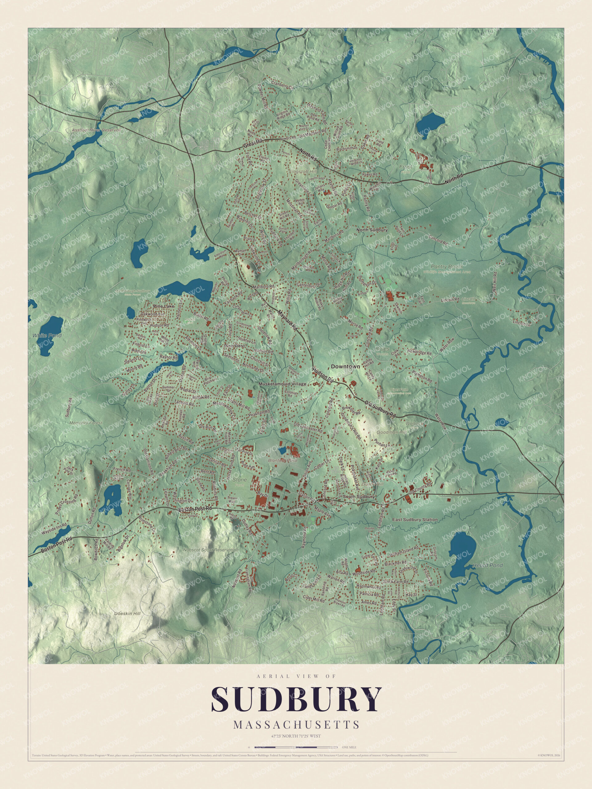
Click to explore a larger preview. The digital watermark does not appear on printed maps.
Names on this map
These names are printed on this map.
Places: Downtown, East Sudbury Station, Doeskin Hill, Flagstaff Hill, Goodman Hill, Green Hill, Assabet River Reservoir, Blanford Pond, White Pond, Heard Pond, Brues Woods, Frost Farm, Haskell Field, Lincoln Meadows, Marlborough-Sudbury State Forest, Memorial Forest, Nobscot Scout Reservation, Pantry Brook Wildlife Management Area, Piper Farm Conservation Area, Stone Farm, Wolbach Farm, Musketamquid Village, North Sudbury, Pine Lake, Pine Rest and South Sudbury.
Streets and roads: North Road, Maynard Road, Hudson Road, Old Sudbury Road, Boston Post Road, Great Road, Pratts Mill Road, Union Avenue, Concord Road, Peakham Road, Dutton Road, Lincoln Road.
More street names, A to Z
Adams Road, Alta Road, Amanda Road, Ames Road, Anselm Way, Anthony Drive, Arboretum Way, Atkinson Lane, Austin Road, Babe Ruth Drive, Barbara Road, Barnet Road, Barton Drive, Bay Drive, Belcher Drive, Bent Road, Bigelow Drive, Bishop Lane, Blackmer Road, Blacksmith Drive, Blueberry Hill Lane, Bowditch Road, Bowker Drive, Brewster Road, Briant Drive, Briar Patch Lane, Bridle Path, Brimstone Lane, Brook Lane, Butler Road, Camperdown Lane, Candy Hill Lane, Candy Hill Road, Canterbury Drive, Carding Mill Road, Carriage Way, Cedar Creek Road, Center Street, Chanticleer Road, Churchill Street, Cider Mill Road, Clark Lane, Clark Road, Codjer Lane, Codman Drive, Colonial Road, Coolidge Lane, Cranberry Circle, Cudworth Lane, Cutler Farm Road, Dakin Road, Deer Pond Road, Demarco Road, Dorothy Road, Dudley Road, Dunster Road, East Street, Easy Street, Eddy Street, Elaine Road, Evergreen Road, Fairbank Road, Farm Lane, Fern Trail, Field Road, Fieldstone Farm Road, Firecut Lane, Flintlock Lane, Ford Road, Forest Street, Fox Hill Drive, Fox Run Road, French Road, Frost Farm Village Road, Frost Lane, Gerry Drive, Goodman's Hill Road, Goodnow Road, Greystone Lane, Grindstone Lane, Griscom Road, Harness Lane, Hawes Road, Haynes Road, Henrys Mill Lane, Hilltop Road, Hopestill Brown Road, Horse Pond Road, Hunt Road, Indian Ridge Road, Jack Pine Drive, Jarman Road, Julians Way, July Road, Kato Drive, Kay Street, Kendall Road, Kendra Lane, Lafayette Drive, Landham Road, Lands End Lane, Laurel Circle, Ledge Road, Liberty Ledge, Lincoln Lane, Longfellow Street, Lynne Road, Magnolia Road, Maple Avenue, Marked Tree Road, Mark Lane, Marlboro Road, Marlborough Road, Martin Drive, Massasoit Avenue, Maynard Farm Circle, Maynard Farm Road, Meachen Road, Meadowbrook Circle, Meadow Drive, Middle Road, Mill Lane, Mill Pond Road, Moore Road, Moran Circle, Morse Road, Mossman Road, Newbridge Road, Newton Road, Nobscot Road, Normandy Drive, Northwood Drive, Oak Hill Road, Oakwood Avenue, Old Coach Road, Old County Road, Old Framingham Road, Old Garrison Road, Old Lancaster Road, Old Marlboro Road, Old Orchard Road, Pantry Road, Patricia Road, Pelham Island Road, Pendleton Road, Philemon Whale Lane, Phillips Road, Pine Street, Pinewood Avenue, Plantation Circle, Plympton Road, Pokonoket Avenue, Poplar Street, Possum Lane, Powder Mill Road, Powers Road, Prides Crossing Road, Puffer Lane, Puritan Lane, Rambling Road, Raymond Road, Raynor Road, Ridge Hill Road, Robbins Road, Robert Best Road, Ruddock Road, Sawmill Lane, Sexton Street, Shadow Oak Drive, Silver Hill Road, Skyview Lane, Station Road, Stearns Lane, Stock Farm Road, Stone Road, Stone Root Lane, Stubtoe Lane, Sudbury Road, Suffolk Road, Summer Street, Sunset Path, Surrey Lane, Taintor Drive, Tall Pine Drive, Tanbark Road, Thompson Drive, Thunder Road, Trevor Way, Twin Pond Lane, Victoria Road, Village Road, Virginia Ridge Road, Wagonwheel Road, Wake Robin Road, Walker Farm Road, Ward Road, Warren Road, Washington Drive, Water Row, Wayside Inn Road, Webster Circle, Weir Hill Road, White Oak Lane, Willard Grant Road, Willis Road, Willow Road, Windmill Drive, Winsor Road, Winter Street, Witherell Drive, Woodside Road, Wright Road, Wyman Drive.
See it on a wall
The Sudbury map as a framed print. Swipe for more.


We designed the artwork at KNOWOL using Sudbury’s real streets, buildings, neighborhoods, ponds and waterways, parks, mountains and ridgelines, and terrain, the town boundary, and the way buildings spread across the town. Then we chose the color, relief, lettering, and layout that make the map look great on the wall.
This beautifully detailed map of Sudbury makes an attractive addition to your office, library, or den and can even be used to teach children the geography and history of the area. When you’re done exploring, click here to get your copy of the Sudbury, Massachusetts map.