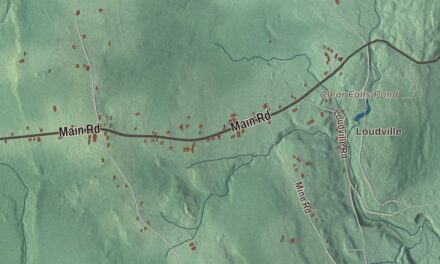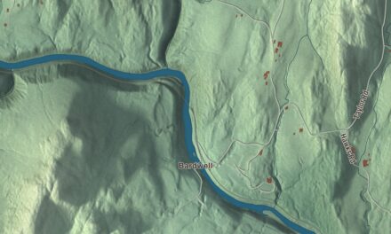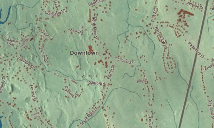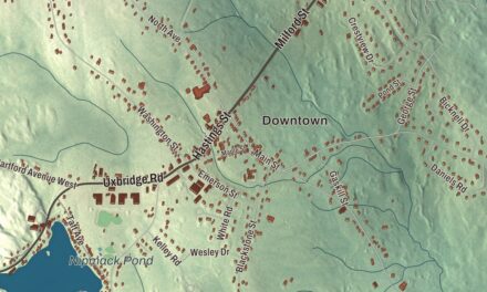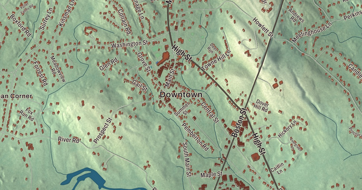
This aerial map of Topsfield, Massachusetts was created in 2026 using real geographic data to bring the town’s streets, buildings, neighborhoods, ponds and waterways, parks, mountains and ridgelines, and terrain together in one highly detailed view. Look closer and you can pick out the familiar places that make Topsfield feel like home. Start with the street you know, then see how it connects to the rest of the Topsfield you call home. Click here to purchase a print of this map for your wall.
Explore an aerial view of Topsfield, Massachusetts
Start with Downtown and Kinsman Corner. Follow Haverhill Road, High Street, Valley Road, Main Street, Boston Street, and Newburyport Turnpike across town.
Cedar Pond, Hood Pond, Putnamville Reservoir, Pleasant Pond, Ipswich River Wildlife Sanctuary, Conservation Land, Bare Hill, Blueberry Hill, Bradstreet Hill, and Averills Island are all labeled on the map. Every one of those names is printed directly on the artwork, giving you plenty to explore.
The Town of Topsfield’s recorded history dates European settlement to 1635. Topsfield was incorporated as a town in 1650. The town remains part of Essex County today. Click the image below to see the area as it looked in 2026.
Take a closer look at the Topsfield map
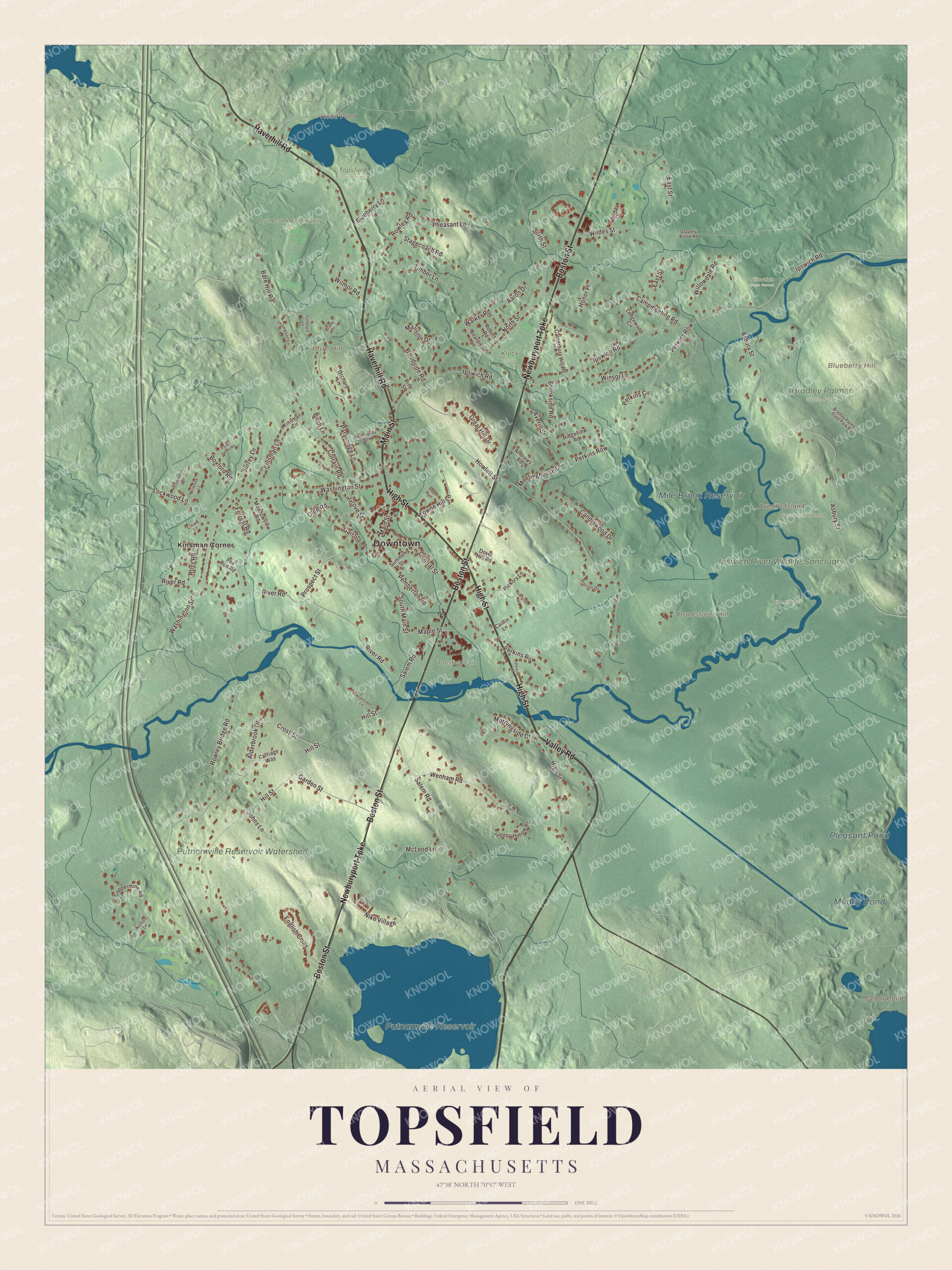
Click to explore a larger preview. The digital watermark does not appear on printed maps.
Names on this map
These names are printed on this map.
Places: Downtown, Averills Island, Bare Hill, Blueberry Hill, Bradstreet Hill, Cedar Pond, Hood Pond, Putnamville Reservoir, Pleasant Pond, Mile Brook Reservoir, Muddy Pond, Ipswich River Wildlife Sanctuary, Putnamville Reservoir Watershed, Bradley Palmer State Park, Conservation Land, Klock Park, Pine Island, Pye Brook Community Park, Topsfield Town Forest, Topsfield Fair, Willowdale State Forest and Kinsman Corner.
Streets and roads: Haverhill Road, High Street, Valley Road, Main Street, Boston Street, Newburyport Turnpike, Grove Street, Ipswich Road, Walker Road, South Main Street, Aaron Drive, Campmeeting Road.
More street names, A to Z
Alderbrook Drive, Andrews Road, Asbury Street, Averill Street, Bare Hill Road, Birch Lane, Blueberry Lane, Boardman Lane, Boxford Road, Bradley Palmer State Park Road, Bradstreet Lane, Brady Drive, Brookside Road, Caitlin Lane, Candlewood Drive, Canterbury Hill Road, Carriage Way, Central Street, Cleary Lane, Colrain Road, Comstock Lane, Coppermine Road, Cross Street, Deer Run, Dover Hill Road, East Street, English Cmns, Evergreen Lane, Fairway Drive, Forrest Road, Fox Run Road, Fuller Farms Road, Gail Street, Garden Street, Glen Road, Gravelly Brook Road, Great Hill Drive, Hickory Lane, Hill Street, Honor Place, Howlett Street, Johns Lane, Kinsman Circle, Kinsman Lane, Ledgewood Circle, Lockwood Lane, Mansion Drive, Maple Street, McLeod Lane, Meadowview Road, Meetinghouse Lane, Millbrook Lane, Morningside Drive, Nichols Lane, Nike Village, Normandy Row, North Street, Orchard Lane, Parsonage Lane, Pemberton Road, Perkins Circle, Perkins Lane, Perkins Row, Pheasant Lane, Pine Street, Proctor Drive, Prospect Street, Ridgeview Road, River Road, Robert Road, Ross Road, Rowley Bridge Road, Rowley Road, Salem Road, Silverbrook Road, Sleepy Hollow Road, Stagecoach Road, Summer Street, Surrey Lane, Thompson Lane, Timber Lane, Towne Hill Lane, Washington Street, Wenham Road, Wildes Street, Willowdale Road, Wilmor Road, Winsor Lane, Woodside Road.
See it on a wall
The Topsfield map as a framed print. Swipe for more.


We designed the artwork at KNOWOL using Topsfield’s real streets, buildings, neighborhoods, ponds and waterways, parks, mountains and ridgelines, and terrain, the town boundary, and the way buildings spread across the town. Then we chose the color, relief, lettering, and layout that make the map look great on the wall.
This beautifully detailed map of Topsfield makes an attractive addition to your office, library, or den and can even be used to teach children the geography and history of the area. When you’re done exploring, click here to get your copy of the Topsfield, Massachusetts map.