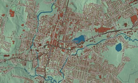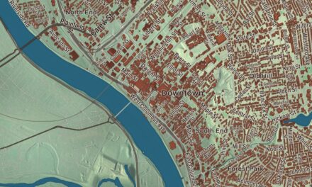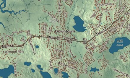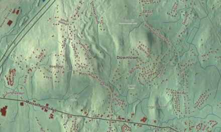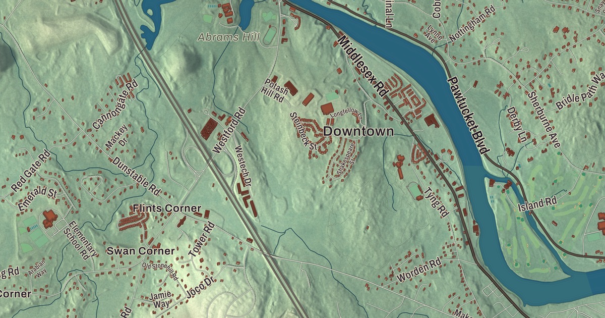
This aerial map of Tyngsborough, Massachusetts was created in 2026 using real geographic data to bring the town’s streets, buildings, neighborhoods, ponds and waterways, mountains and ridgelines, and terrain together in one highly detailed view. Look closer and you can pick out the familiar places that make Tyngsborough feel like home. Start with the street you know, then see how it connects to the rest of the Tyngsborough you call home. Click here to purchase a print of this map for your wall.
Explore an aerial view of Tyngsborough, Massachusetts
Start with Downtown and Flints Corner. Follow Frost Road, Middlesex Road, Kendall Road, Pawtucket Boulevard, Long Pond Road, and Dunstable Road across town. Then look outward toward Frederick Corner, Hayward Corner, Norris Corner, Swan Corner, and Tyngsboro.
Althea Lake, Fletchers Pond, Long Pond, Abrams Hill, Bear Hill, and Chaney Hill are all labeled on the map. Every one of those names is printed directly on the artwork, giving you plenty to explore.
The Town of Tyngsborough’s recorded history dates European settlement to 1661. Tyngsborough was incorporated as a town in 1809. The town remains part of Middlesex County today. Click the image below to see the area as it looked in 2026.
Take a closer look at the Tyngsborough map
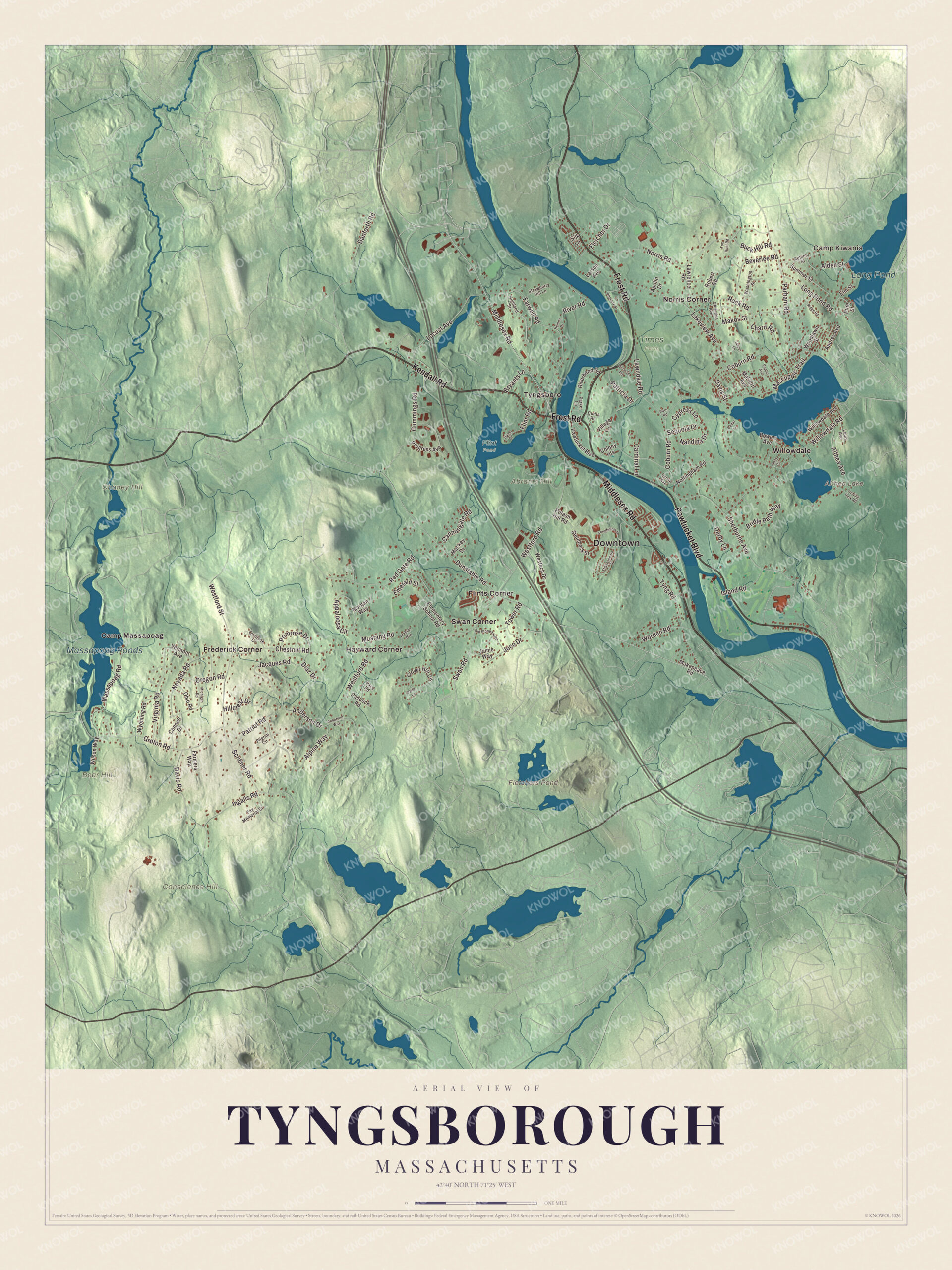
Click to explore a larger preview. The digital watermark does not appear on printed maps.
Names on this map
These names are printed on this map.
Places: Downtown, Camp Kiwanis, Abrams Hill, Bear Hill, Chaney Hill, Conscience Hill, Althea Lake, Fletchers Pond, Long Pond, Massapoag Ponds, Flint Pond, Times Farm, Camp Massapoag, Flints Corner, Frederick Corner, Hayward Corner, Norris Corner, Swan Corner, Tyngsboro and Willowdale.
Streets and roads: Frost Road, Middlesex Road, Kendall Road, Pawtucket Boulevard, Long Pond Road, Dunstable Road, Westford Road, Sherburne Avenue, Lakeview Avenue, Scribner Road, Coburn Road, Norris Road.
More street names, A to Z
Alden Street, Alpine Way, Althea Avenue, Anderson Drive, Anderson Way, Apollo Drive, Appaloosa Circle, Arabian Way, Audrey Avenue, Autumn Street, Beverlee Road, Bowers Avenue, Bridle Path Way, Bryants Lane, Buck Hill Road, Cannongate Road, Cardinal Lane, Cedar Lane, Chard Road, Chestnut Road, Christine Avenue, Clover Hill Circle, Colony Heights, Connell Drive, Cummings Road, Curtis Road, Cypress Lane, Daisy Lane, Danforth Road, Davis Road, Davis Street, Derby Lane, Diaz Drive, Elementary School Road, Elm Street, Emerald Street, Farmers Way, Farwell Road, Fay Memorial Drive, Fletcher Drive, Flint Road, Fox Hunt Road, Groton Road, Helena Drive, Highland Street, Hillcrest Drive, Ingalls Road, Island Road, Jacques Road, Jamie Way, Jasper Lane, Joco Drive, Larson Avenue, Lawndale Road, Lawrence Road, Locust Avenue, Longfellow Lane, Louis Avenue, Lynne Avenue, Mackey Drive, Makepeace Road, Makos Street, Malvern Avenue, Mascuppic Trail, Massapoag Road, Michigan Road, Morgan Way, Mustang Road, Nandina Drive, Nevada Road, Nottingham Road, Ohio Road, Old Stonehill Road, Oregon Road, Overlook Drive, Pace Road, Paddock Road, Parham Road, Parker Lane, Park Road, Patricia Drive, Patriot Road, Phalanx Street, Pilgrim Circle, Pine Street, Poplar Avenue, Potash Hill Road, Primrose Drive, Progress Avenue, Red Gate Road, Ridge Road, Riverbend Road, River Road, Robert Road, Rock Road, Sequoia Drive, Shakespeare Street, Silk Lane, Snay Circle, Steinbeck Street, Strawberry Hill Lane, Summer Street, Swan Road, Tower Road, Trotting Park Road, Tyng Road, Upton Drive, Vermont Avenue, Village Lane, Virginia Road, Washington Street, Westech Drive, Westford Street, Wicasse Road, Willowdale Avenue, Willowdale Road, Wilson Way, Woodlawn Street, Worden Road, Wyoming Road.
See it on a wall
The Tyngsborough map as a framed print. Swipe for more.


We designed the artwork at KNOWOL using Tyngsborough’s real streets, buildings, neighborhoods, ponds and waterways, mountains and ridgelines, and terrain, the town boundary, and the way buildings spread across the town. Then we chose the color, relief, lettering, and layout that make the map look great on the wall.
This beautifully detailed map of Tyngsborough makes an attractive addition to your office, library, or den and can even be used to teach children the geography and history of the area. When you’re done exploring, click here to get your copy of the Tyngsborough, Massachusetts map.