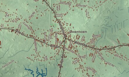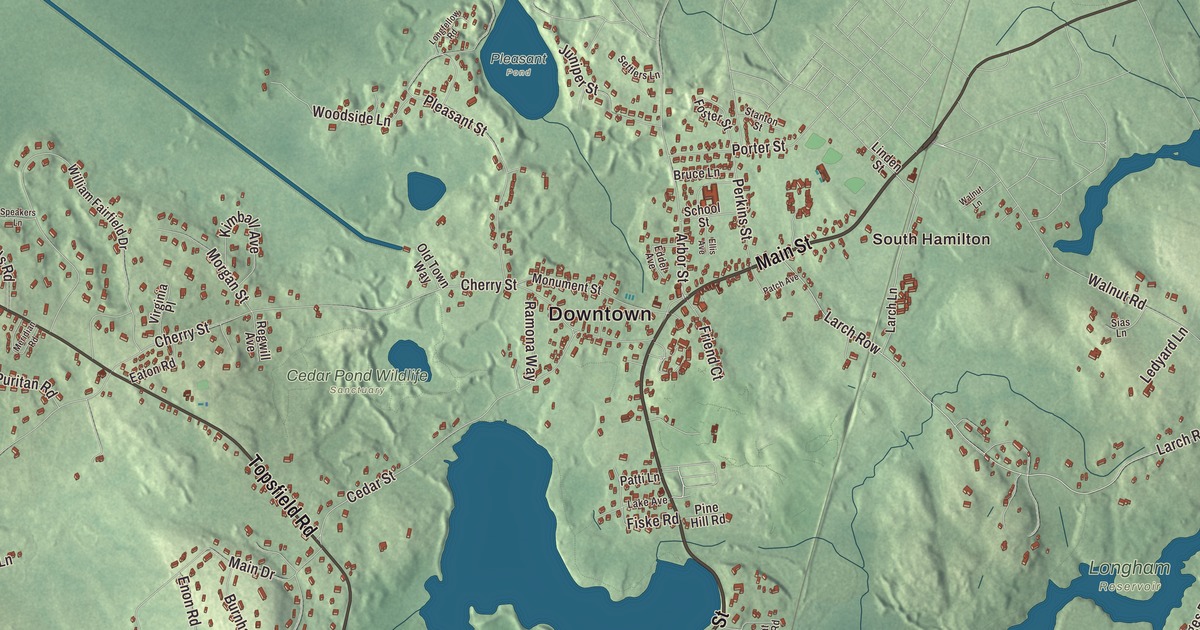
This aerial map of Wenham, Massachusetts was created in 2026 using real geographic data to bring the town’s streets, buildings, neighborhoods, ponds and waterways, mountains and ridgelines, and terrain together in one highly detailed view. Look closer and you can pick out the familiar places that make Wenham feel like home. Start with the street you know, then see how it connects to the rest of the Wenham you call home. Click here to purchase a print of this map for your wall.
Explore an aerial view of Wenham, Massachusetts
Start with Downtown and Wenham Neck. Follow Rubbly Road, Main Street, Topsfield Road, Essex Street, Grapevine Road, and Larch Row across town. Then look outward toward South Hamilton.
Beaver Pond, Beck Pond, Wenham Lake, Chebacco Lake, Bald Hill, Brimble Hill, and Browns Hill are all labeled on the map. Every one of those names is printed directly on the artwork, giving you plenty to explore.
The Town of Wenham’s recorded history dates European settlement to 1635. Wenham was incorporated as a town in 1643. The town remains part of Essex County today. Click the image below to see the area as it looked in 2026.
Take a closer look at the Wenham map
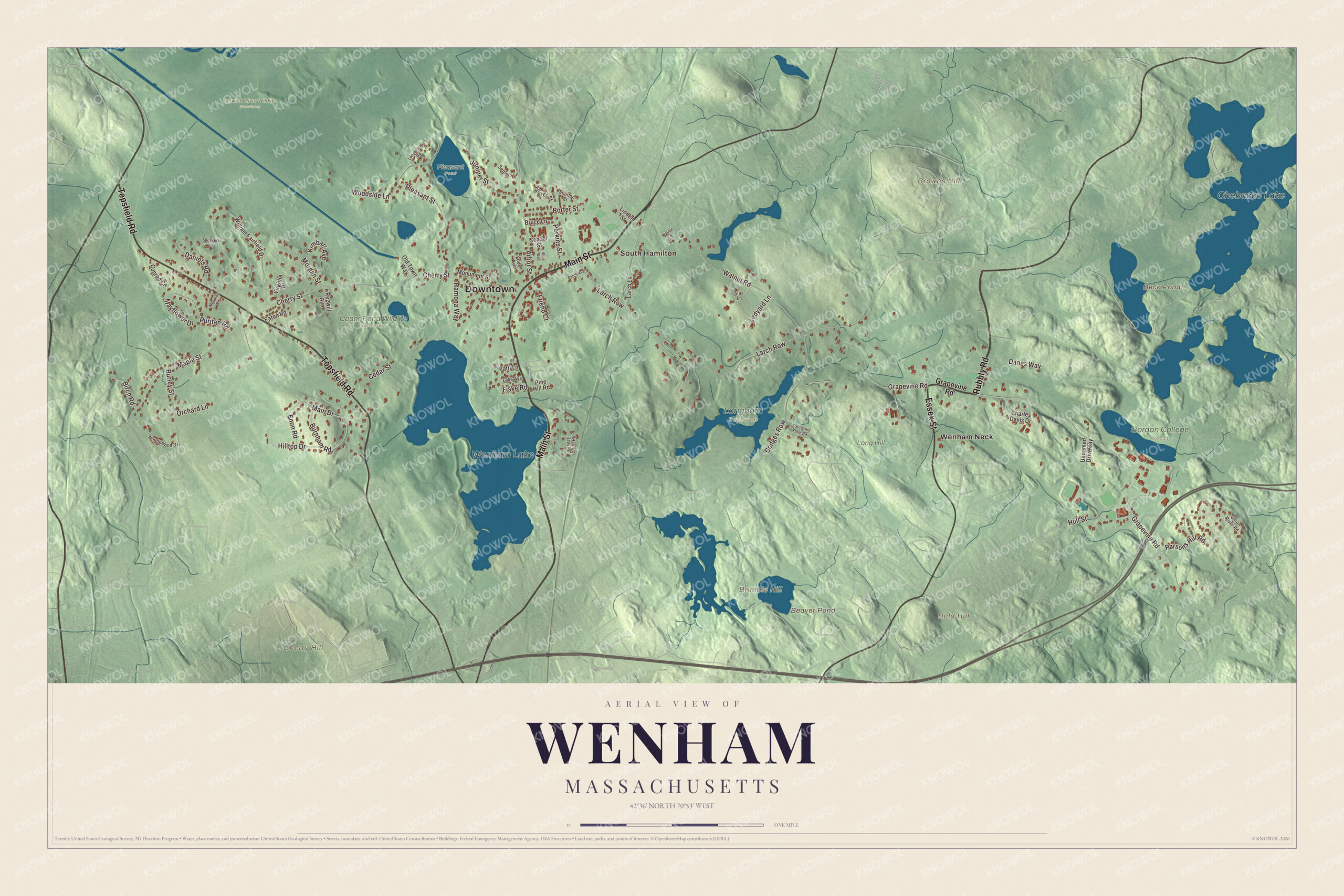
Click to explore a larger preview. The digital watermark does not appear on printed maps.
Names on this map
These names are printed on this map.
Places: Downtown, Wenham Neck, South Hamilton, Bald Hill, Brimble Hill, Browns Hill, Cherry Hill, Beaver Pond, Beck Pond, Wenham Lake, Chebacco Lake, Cedar Pond Wildlife Sanctuary, Gordon College Woods, Ipswich River Wildlife Sanctuary, Long Hill, Longham Reservoir and Pleasant Pond.
Streets and roads: Rubbly Road, Main Street, Topsfield Road, Essex Street, Grapevine Road, Larch Row, Perkins Street, Cherry Street, Pleasant Street, Cedar Street, Maple Street, Walnut Road.
More street names, A to Z
Arbor Street, Birch Road, Bruce Lane, Burley Street, Burnham Road, Charles Davis Drive, Conrad Circle, Danes Way, Daniels Road, Dodges Row, Eaton Road, Eddel Avenue, Ellis Avenue, Enon Road, Fiske Road, Foster Street, Friend Court, Great Pond Road, Hilltop Drive, Hull Street, Juniper Street, Kimball Avenue, Lake Avenue, Larch Lane, Ledyard Lane, Linden Street, Longfellow Road, Main Drive, Mayflower Drive, Meridian Road, Middlewood Drive, Monument Street, Morgan Street, Old Town Way, Onion River Road, Orchard Lane, Parsons Hill Road, Patch Avenue, Patti Lane, Pine Hill Road, Porter Street, Puritan Road, Ramona Way, Regwill Avenue, School Street, Settlers Lane, Sias Lane, Speakers Lane, Spring Hill Farm Road, Stanton Street, Unnamed Driveway, Virginia Place, Walnut Lane, William Fairfield Drive, Woodside Lane.
See it on a wall
The Wenham map as a framed print. Swipe for more.


We designed the artwork at KNOWOL using Wenham’s real streets, buildings, neighborhoods, ponds and waterways, mountains and ridgelines, and terrain, the town boundary, and the way buildings spread across the town. Then we chose the color, relief, lettering, and layout that make the map look great on the wall.
This beautifully detailed map of Wenham makes an attractive addition to your office, library, or den and can even be used to teach children the geography and history of the area. When you’re done exploring, click here to get your copy of the Wenham, Massachusetts map.