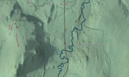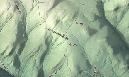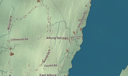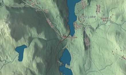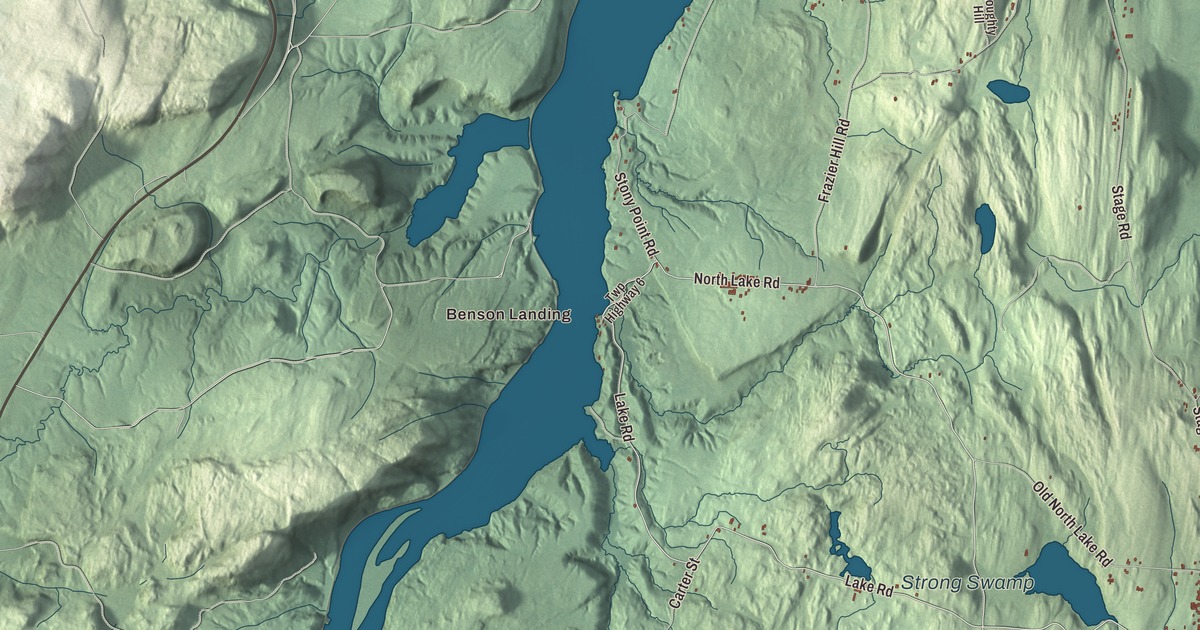
Benson’s village grew up where Stage Road meets Lake Road, and on the shore of Lake Champlain the state keeps a boat launch at Benson Landing. This map prints Benson Landing and Stacy Crossroads, Sunset Lake, Sunrise Lake, Mill Pond and Strong Swamp, with Lake Road, North Lake Road, Benson Road, Mill Pond Road, Temple Road and North Cross Road.
Benson is in the northwest corner of Rutland County, with Lake Champlain along its western side.
KNOWOL made this map in 2026 from public survey data and gave it the look of an old atlas. The shaded terrain comes from United States Geological Survey elevation data, and an 1881 county gazetteer reckoned about a third of the town rocky and mountainous, with a band of good upland running north to south through the middle. The roads and the town line come from the Census Bureau. Benson covers 45.5 square miles, with 53.4 miles of town roads, and it had 974 people at the 2020 census. Click here to purchase a print of this map for your wall.
A town named for a New York lawyer
Before asking Vermont for a grant, the petitioners sent a committee to Albany to see Egbert Benson, New York’s attorney general, and ask whether New York would contest it. He told them it wouldn’t, and they named the town for him. That’s the account on the town’s own website; the town’s Wikipedia page says most historians have assumed the same, though nobody is quite sure, and residents still argue over it in the town’s book “Remembering Benson.” Vermont’s assembly granted the town on October 27, 1779, and the charter was signed on May 5, 1780.
Walter Durfee, a Revolutionary War veteran from Massachusetts, made the first settlement in 1777, when the only road in town was the military road from Castleton to Ticonderoga. He was driven off by Burgoyne’s invasion that year and came back in 1782 to clear land and build a log house on what became the Home Farm, where he lived until 1835. The same year Daniel Barber came looking for a mill site; he built the town’s first dam on the Hubbardton River in 1784 and its first sawmill and gristmill, and his wife Ruth was the town’s first woman settler. Before those mills, settlers carried their grain through the woods to Poultney.
Stage Road and a famous song
Stage Road, finished in 1790, was for years the main north to south route on the east side of the lake, and Benson Village grew along it. Its best years came in the 1840s, which shows in the village’s Greek Revival buildings, and the stretch of Stage Road from Lake Road to Hulett Hill Road is listed on the National Register of Historic Places as a well-preserved 19th century village center. The Wheel Inn stands at the main crossroads. On Stage Road, too, is the big sycamore that John Blackburn and Karl Suessdorf wrote into the lyrics of “Moonlight in Vermont” while they were staying at an inn there, and a small plaque on Stage Road recalls it. Published in 1944, the song is considered an unofficial state song of Vermont.
The town’s page lists the anthologist Rufus Wilmot Griswold, who grew up in the hamlet of Benson, and Loyal C. Kellogg, a justice of the Vermont Supreme Court who lived here all his life. The Benson Museum shares the old school building with the town clerk’s office and opens by appointment and on Benson Family Day in August.
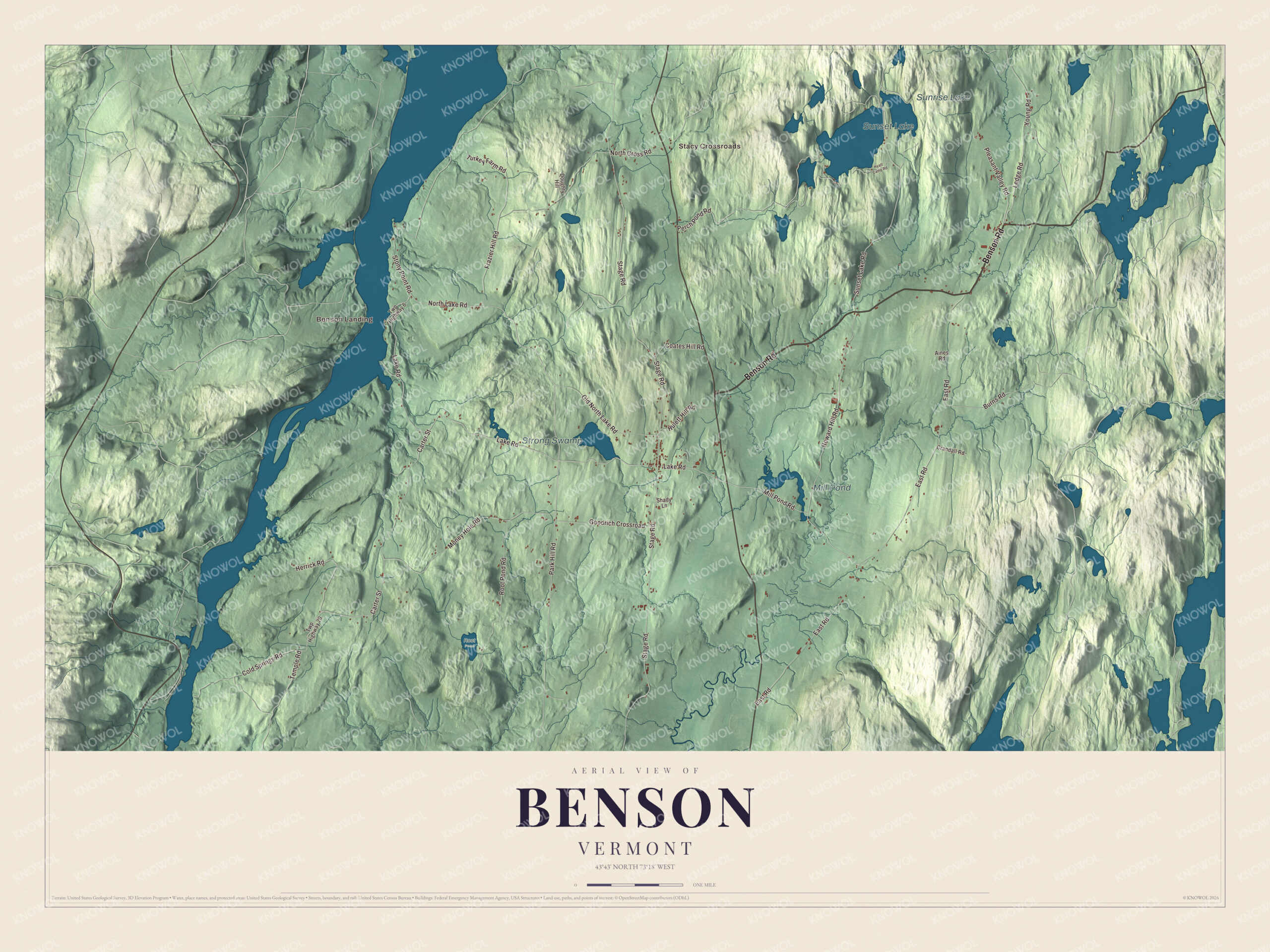
Click to explore a larger preview. The digital watermark does not appear on printed maps.
Names on this map
These names are printed on this map.
Places: Benson Landing, Stacy Crossroads, Sunset Lake, Sunrise Lake, Strong Swamp, Mill Pond and Root Pond.
Streets and roads: Benson Road, Lake Road, North Lake Road, Mill Pond Road, Temple Road, North Cross Road, Park Hill Road, Young Road, Money Hole Road, Herrick Road, Stage Road, East Road.
More street names, A to Z
Aines Road, Burns Road, Carter Street, Coates Hill Road, Cold Springs Road, Crandall Road, Doughty Hill, Frazier Hill Road, Goodrich Crossroad, Howard Hill Road, Hulett Hill Road, Hyatt Camp Road, Ledge Road, Old North Lake Road, Perch Pond Road, Pleasant Valley Road, Root Pond Road, Shady Lane, Stony Point Road, Sunset Lake Road, Turkey Farm Road, Twp Highway 6, Twp Highway 20.
See it on a wall
The Benson map as a framed print. Swipe for more.


Out to the lake
Benson Landing, a small hamlet with one store and about eight houses in 1881, sits on Lake Champlain in the western part of town, and today the Vermont Department of Fish and Wildlife runs a boat launch there. The 1881 gazetteer named Sunset Lake, in the north, the largest of the town’s lakes, nearly round and about a mile across. The Hubbardton River, the town’s main stream, flows southwest through Benson into West Haven. Sunrise Lake, Mill Pond, Strong Swamp, Stacy Crossroads, North Lake Road, Benson Road, Mill Pond Road, Temple Road and North Cross Road are printed on the map too.
This map of Benson belongs in an office, library or den, and it can even help teach children the geography and history of a lakeshore town on the old stage road. It’s made for everyone who calls Benson home and shows the town as it looks today, from Benson Landing to Sunset Lake. KNOWOL created it in 2026, and it’s printed on museum quality archival paper. Zoom in on the preview above to explore the details, then click here to get your copy of the Benson, Vermont map.

Sources