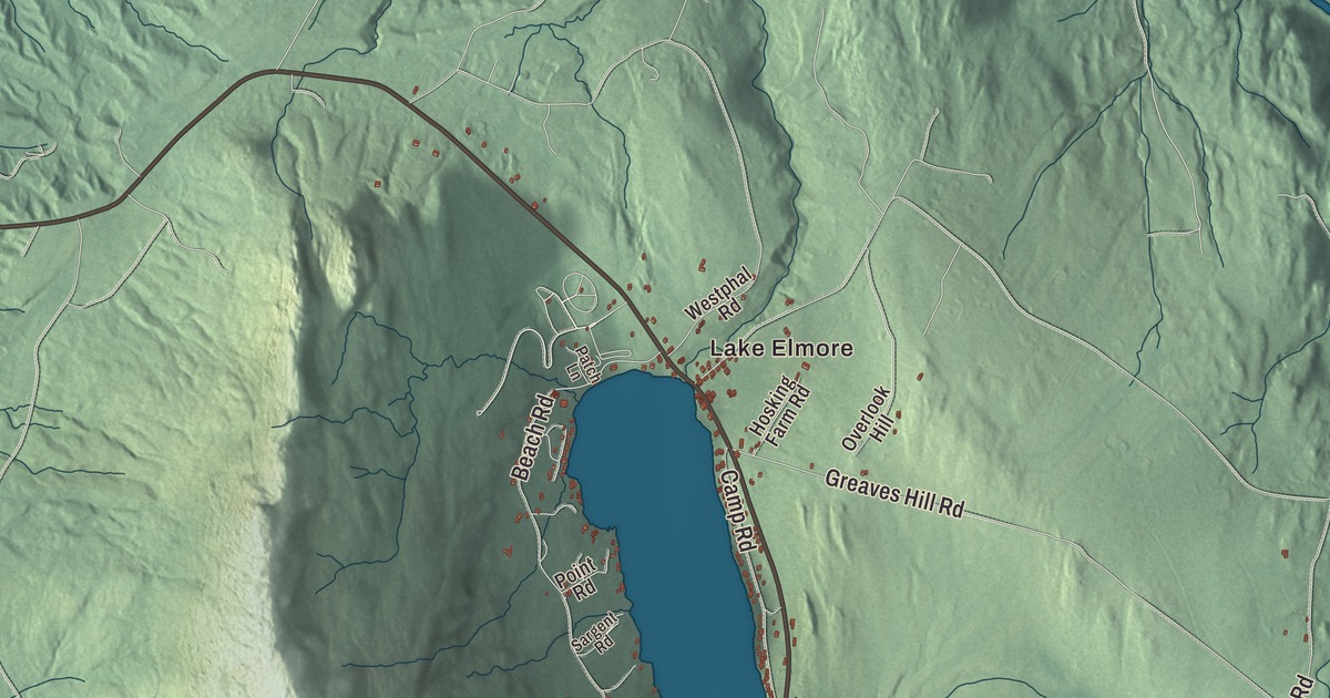
In Elmore, most things start at the lake. The village sits at its north end, the state park wraps around it, and Elmore Mountain rises just to the west. This map prints Lake Elmore along with Hardwood Pond, Little Elmore Pond and Little Pond, and roads like Elmore Mountain Road, East Elmore Road, Symonds Mill Road, Hardwood Flats Road, King Road and the Montpelier Morrisville State Highway.
Elmore is a town in Lamoille County, Vermont.
The map is drawn in the manner of an old county atlas, but KNOWOL made this map in 2026 from public survey data: the shading on the mountain comes from United States Geological Survey elevation data, and the roads and the town line from the Census Bureau. Elmore covers 39.7 square miles and had 886 people at the 2020 census. Click here to purchase a print of this map for your wall.
Colonel Elmore’s town
Vermont granted Elmore on November 7, 1780, while it was still an independent republic, and chartered it on August 21, 1781. The town is named for Colonel Samuel Elmore, one of the original grantees, and it organized on July 23, 1792. Elmore has moved between counties, too: it was in Orleans County until 1821, then in Washington County, and it joined Lamoille County when that county was organized in 1836. Today it sits in the southeastern corner of Lamoille County, with Washington County on two sides and a short stretch of border with Caledonia County.
George W. Bailey Jr. was born in Elmore on April 6, 1833. He became a lawyer in Montpelier, served as deputy to Vermont’s secretary of state, and was elected Secretary of State himself in 1861, holding the office through the Civil War years until his death in 1865.
The lake and the mountain
Lake Elmore covers 219 acres in the northwest corner of town and drains north by Elmore Pond Brook toward the Lamoille River. The Worcester Mountains run along the west side of town, and Elmore Mountain, at their northern end, rises to 2,608 feet. Vermont Route 12 passes through the village and along the east side of the lake, five miles from Morrisville and 21 miles from Montpelier.
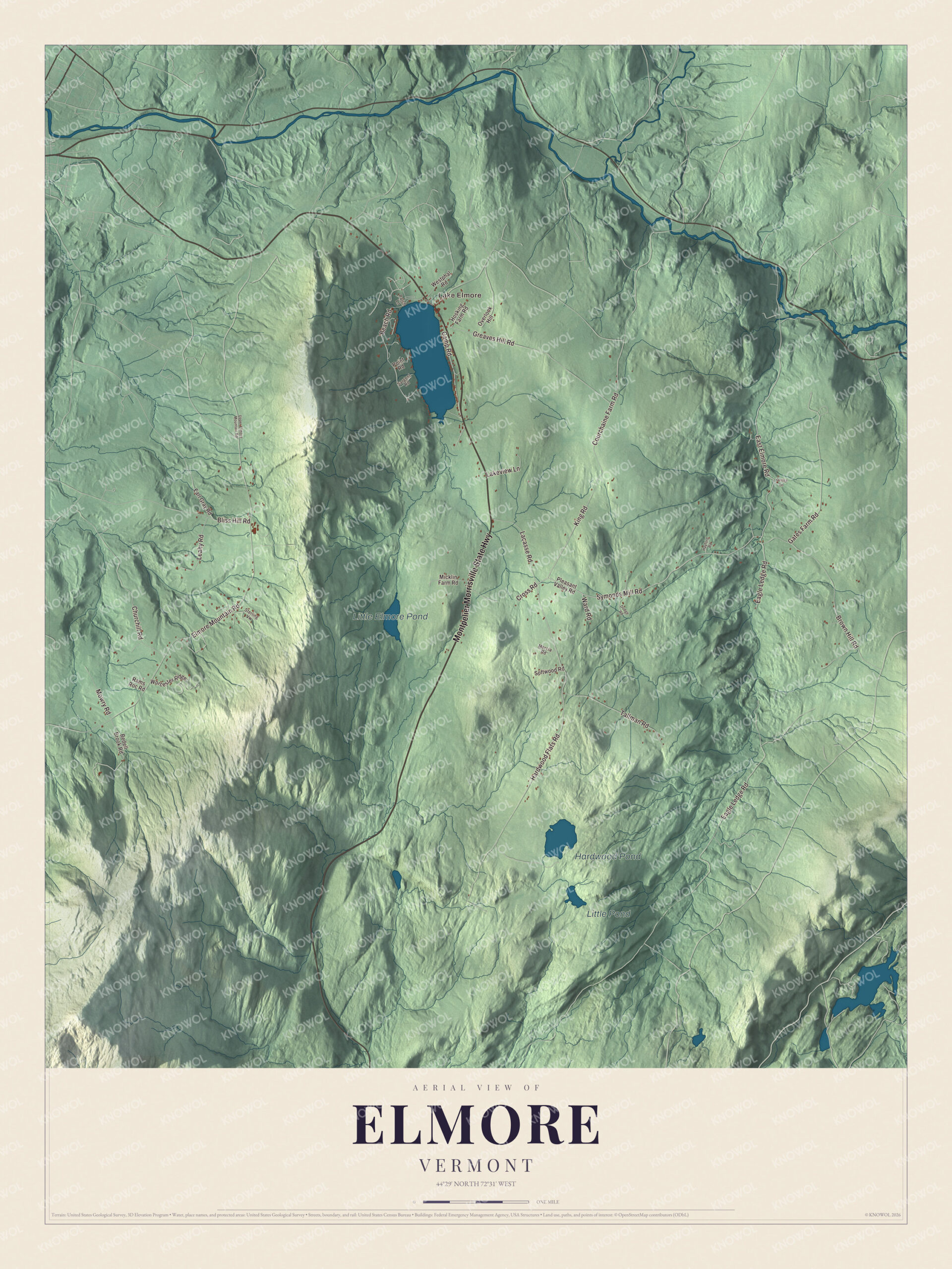
Click to explore a larger preview. The digital watermark does not appear on printed maps.
Names on this map
These names are printed on this map.
Places: Lake Elmore, Hardwood Pond, Little Elmore Pond and Little Pond.
Streets and roads: Montpelier Morrisville State Highway, Symonds Mill Road, East Elmore Road, Hardwood Flats Road, King Road, Elmore Mountain Road, Eagle Ledge Road, Greaves Hill Road, Tallman Road, Brown Hill Road, Beach Road, Courchaine Farm Road.
More street names, A to Z
Bedell Brook Road, Bliss Hill Road, Camp Road, Churchill Road, Cross Road, Dodge Road, Earl Gray Road, Gates Farm Road, Hayford Road, Hosking Farm Road, Kostka Lane, Lacasse Road, Lakeview Lane, Leahy Road, Mercia Road, Micklin Farm Road, Mowry Road, Overlook Hill, Patch Lane, Pleasant Valley Road, Point Road, Rams Roc Road, Sargent Road, Softwood Road, Sterling Vw, Upper Elmore Mountain Road, Ward Road, Westphal Road, Worcester Ridge.
See it on a wall
The Elmore map as a framed print. Swipe for more.


Elmore State Park began with a gift. In 1934, in the middle of the Great Depression, the town and several of its residents gave the state 30 acres, and the Civilian Conservation Corps went to work turning that land and nearby federal land into a park. Between 1934 and 1936 the CCC crews built the main access road, the beach and the beach house, which still serves swimmers today. The state built the observation tower on top of Elmore Mountain in 1939, and the campground came in 1963. The park was listed on the National Register of Historic Places in 2002 for its CCC work.
On the map, follow Elmore Mountain Road, East Elmore Road, Symonds Mill Road, Hardwood Flats Road and King Road, with the Montpelier Morrisville State Highway printed too. Lake Elmore, Hardwood Pond, Little Elmore Pond and Little Pond are all labeled on the map.
This map of Elmore is made for everyone who calls Elmore home, whether you swim at the beach every summer or have climbed to the tower more times than you can count. It shows the town as it looks today and is printed on museum quality archival paper. Put it up in an office, library or den, or use it to teach children the geography and history of the lake and the mountain. Zoom in on the preview above to explore the details, then click here to get your copy of the Elmore, Vermont map.

Sources