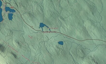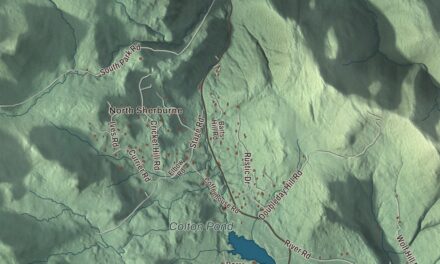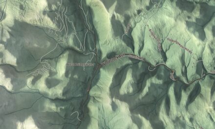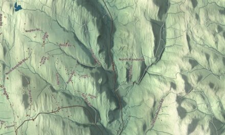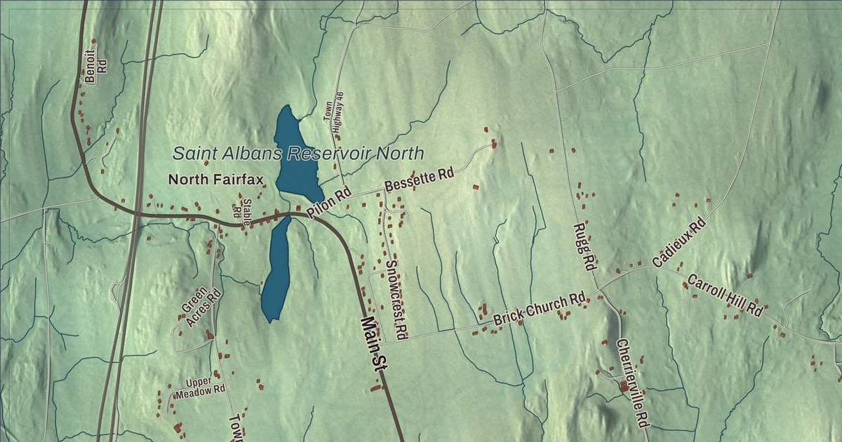
Fairfax grew up along the Lamoille River, which runs east to west across the south end of town, past the village and Fairfax Falls. This map prints Fairfax Falls, North Fairfax, Huntsville and Sanderson Corner, with Main Street, Highbridge Road, Browns River Road, Wilkins Road, Woodward Road and Rood Mill Road reaching across the town between them.
Fairfax is a town in Franklin County, Vermont.
KNOWOL made this map in 2026 from public survey data and drew it in the manner of an old county atlas. The hills are shaded from United States Geological Survey elevation data, and the roads and the town line come from Census Bureau files. Fairfax sits at the south end of Franklin County, with Chittenden County across its southern line. Click here to purchase a print of this map for your wall.
A grant, a river and a free school
New Hampshire granted Fairfax on August 18, 1763, and the town organized on March 22, 1787, according to the Vermont Legislature’s town records. The main village, also called Fairfax, sits on the north bank of the Lamoille. Its Main Street is Vermont Route 104, the road that leads northwest to St. Albans and southeast to Cambridge.
South of the village center, the Maple Street Covered Bridge carries Maple Street over Mill Brook on its way to Bellows Free Academy. Kingsbury and Stone built it in 1865. It’s the town’s only historic covered bridge and a rare two-lane covered bridge for Vermont, built wide enough for busy village traffic. The Flood of 1927 washed it off its foundations, and people still debate whether it went back facing the same way or whether its two ends traded places. It was listed on the National Register of Historic Places in 1974.
The school at the far end of that bridge began with a gift. Hiram Bellows bought 4 acres and left money for a free school in Fairfax. The stocks he willed to the town were invested in the Chicago Rock Island Railway, and when they had earned $250,000, the school was built. Today Bellows Free Academy is a public school for kindergarten through grade 12, with students from Fairfax and from Fletcher, Georgia, Fairfield and Westford.
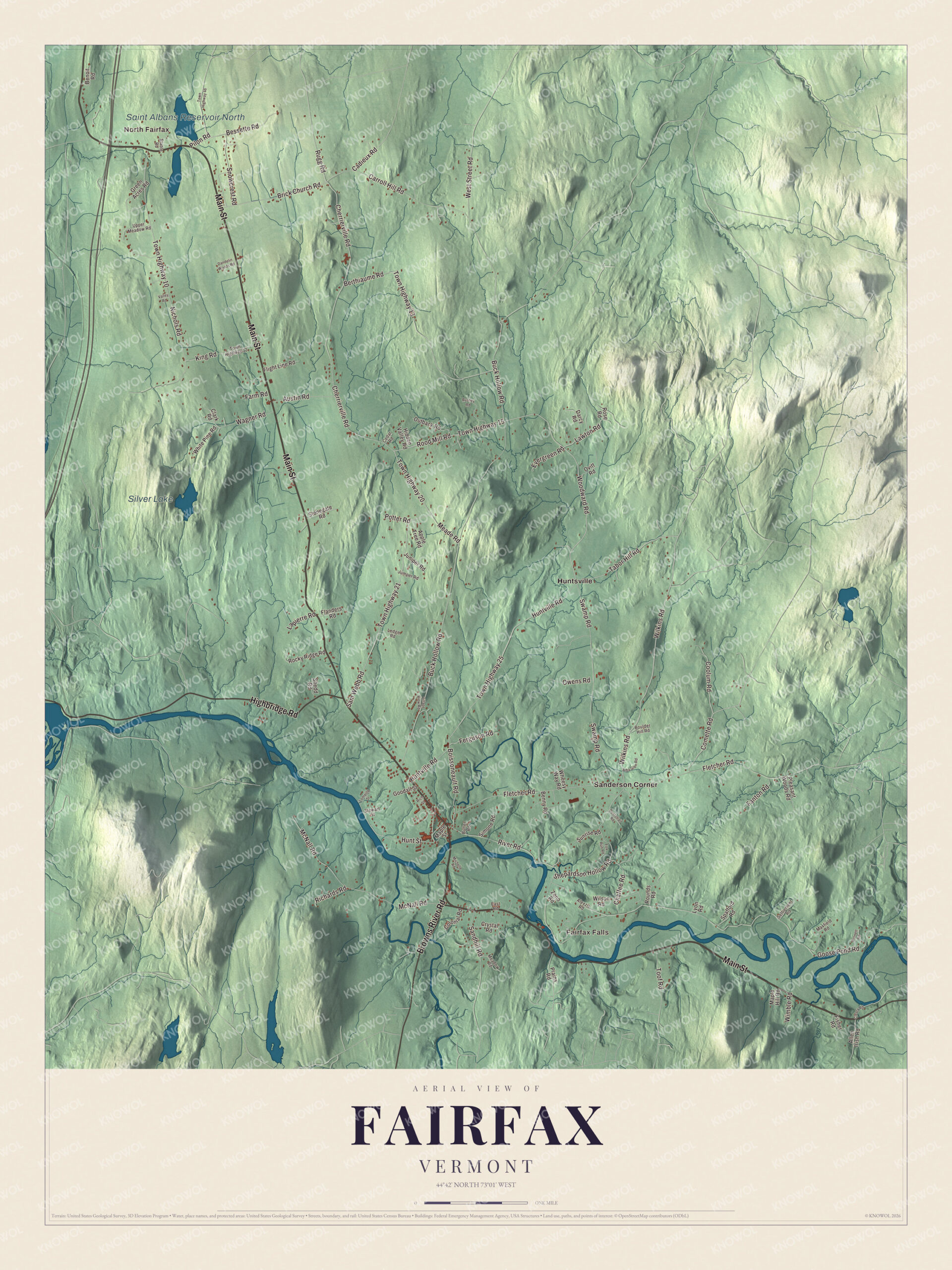
Click to explore a larger preview. The digital watermark does not appear on printed maps.
Names on this map
These names are printed on this map.
Places: North Fairfax, Fairfax Falls, Saint Albans Reservoir North, Silver Lake, Huntsville and Sanderson Corner.
Streets and roads: Main Street, Highbridge Road, Browns River Road, Wilkins Road, Woodward Road, Rood Mill Road, Town Highway 15, Tabor Hill Road, Comette Road, Town Highway 20, Nichols Road, Lawton Road.
More street names, A to Z
Alba Glen Road, Alexzis Road, Allen Irish Road, Apple Tree Road, Austin Road, Barnett Road, Benny Road, Benoit Road, Berthiaume Road, Bessette Road, Boissoneault Road, Boulder Hill Road, Brick Church Road, Buck Hollow Road, Bushey Road, Butler Road, Cadieux Road, Carroll Hill Road, Cedar Road, Chaffee Road, Cherrierville Road, Clark Road, Cleary Road, Colonial Road, Coolum Road, Crystal Road, Dandelin Woods Road, Darcy Road, Dustetrail Road, East Road, Evergreen Road, Fanton Road, Farm Road, Ferguson Road, Fisher Road, Flanders Road, Fletcher Road, Flight Line Road, Fox Run Road, Goodall Street, Goose Pond Road, Green Acres Road, Hidden Valley Road, Hunt Street, Huntville Road, Jumper Road, Juniper Road, King Road, Lapierre Road, Ledge Road, Lomoille Street, Lyon Road, Maple Hill Road, Maple Street, Maxfield Road, McNall Road, Meade Road, Meadow Road, Michelle Road, Outback Road, Ovitt Road, Owens Road, Pilon Road, Plains Road, Pleasant Woods Road, Potter Road, Richards Road, Rich Street, River Road, Rocky Ridge Road, Rose Road, Rounds Road, Rugg Road, Sam Webb Road, Sandhill Road, Settlement Road, Shedd Road, Shepardson Hollow Road, Simone Road, Snowcrest Road, Spafford Road, Stable Road, Stewart Street, Stonegate Road, Sunrise Road, Swamp Road, Toof Road, Town Highway 10, Town Highway 12, Town Highway 13, Town Highway 21, Town Highway 25, Town Highway 46, Upper Meadow Road, Valley Road, Village View Road, Wagner Road, West Street Road, Wheesy Way Road, White Pine Road, Wilson Road, Wimble Road, Zeno Road.
See it on a wall
The Fairfax map as a framed print. Swipe for more.


Two Fairfax careers
Israel Bush Richardson was born in Fairfax in 1815. He earned the nickname “Fighting Dick” in the war with Mexico, and in the Civil War he rose to major general in the Union Army. Donly C. Hawley was raised in Fletcher and Fairfax. He graduated from Fairfax’s New Hampton Institute in 1873, worked in his father’s store in Fairfax while he studied medicine, and served as the town’s school superintendent. He went on to become a Burlington surgeon known nationally for his work, and he was mayor of Burlington from 1901 to 1903.
On the map, start at Fairfax Falls by the river, then find Main Street through the village. Follow Highbridge Road, Browns River Road, Wilkins Road, Woodward Road and Rood Mill Road across town, and look for North Fairfax, Huntsville and Sanderson Corner. Silver Lake and the Saint Albans Reservoir North are labeled too. Fairfax dates to 1763.
This map of Fairfax is made for everyone who calls Fairfax home, and it shows the town as it looks today, from the falls to Sanderson Corner. Hang it in an office, library or den, or use it to teach children the geography and history of their town. It’s printed on museum quality archival paper. Zoom in on the preview above to explore the details, then click here to get your copy of the Fairfax, Vermont map.

Sources