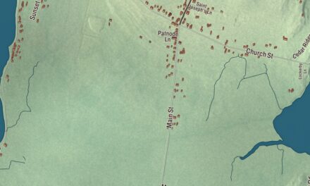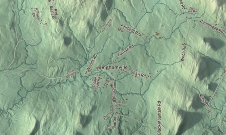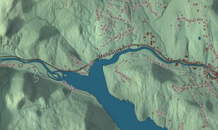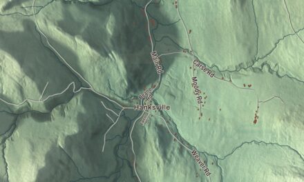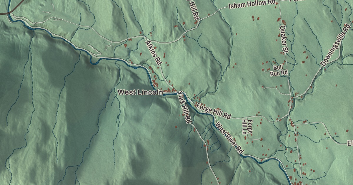
Lincoln sits at the foot of Mount Abraham, and you mostly reach it by way of Bristol, since the road over the mountains is open only in summer. This map prints Lincoln Gap Road, South Lincoln Road, East River Road, West Hill Road, Gove Hill Road and Isham Hollow Road, with West Lincoln, South Lincoln, Downingville and the New Haven River.
Lincoln is a town in Addison County, Vermont.
KNOWOL made this map in 2026 from public survey data and gave it the look of an old county atlas, shading the hills from United States Geological Survey elevation data and drawing the roads and town line from the Census Bureau. The shading has a lot of ground to cover here: the town drops from 4,006 feet on the summit of Mount Abraham to 840 feet near West Lincoln, where the New Haven River leaves town. Click here to purchase a print of this map for your wall.
Two Lincolns and the Quakers
Vermont granted the town on November 7, 1780, and chartered it two days later to Colonel Benjamin Simonds and 64 associates. Simonds had led the Berkshire County regiment of Massachusetts militia at the Battle of Bennington in 1777, and he named the new town for his commanding officer, Major General Benjamin Lincoln. Mount Abraham above the town honors President Abraham Lincoln, but the town honors the general, and the mountain’s page notes that every Addison County place name containing “Lincoln” is older than the president.
Like Ferrisburgh and several other Addison County towns, Lincoln was settled by Quakers. The first of them came to a spot called Mud Flat about 1795, and as more Friends joined them the area became known as Quaker Stand. Their meeting house is gone, but part of Lincoln village is still called Quaker Street, and the United Church of Lincoln stands at the bottom of it. The town organized in 1798 with its first town meeting in the log cabin of Jedediah Durfee, and in 1801 he went to the legislature as Lincoln’s first representative.
For most of its history Lincoln lived on small farms, ironworks and mills. Settlers sold potash and timber as they cleared their land, and in the 1880s, when the town’s population peaked, 15 lumber mills made shingles and clapboards and employed around 100 men. Dairies and potato farms made up much of the rest. The town grew to take in West Lincoln, South Lincoln, Center Lincoln and Downingville (the town’s page spells it Downingsville). The dairies couldn’t keep up with bigger farms elsewhere, and the last one closed in 1992. Today most working people commute, but the town’s page counts a general store, a hotel and several maple producers, the largest with 35,000 trees tapped.
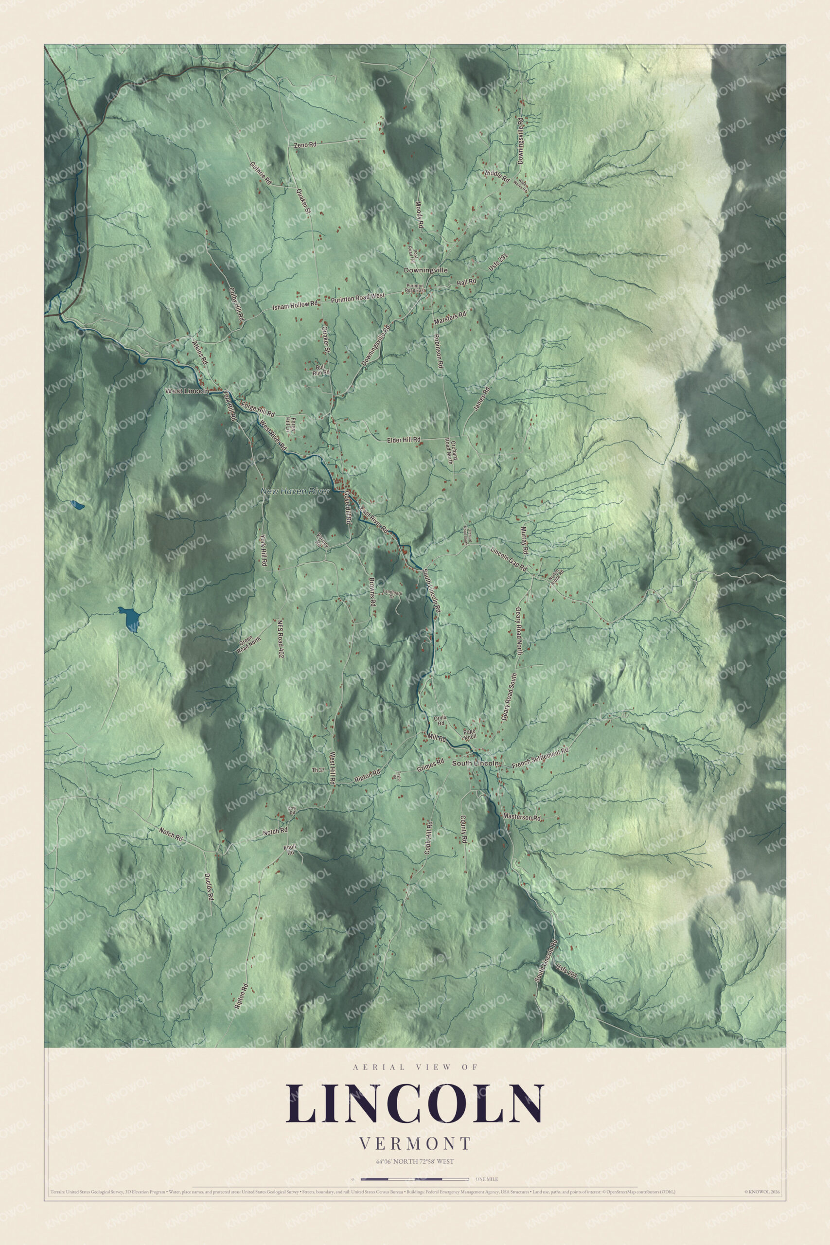
Click to explore a larger preview. The digital watermark does not appear on printed maps.
Names on this map
These names are printed on this map.
Places: West Lincoln, Downingville, South Lincoln and New Haven River.
Streets and roads: South Lincoln Road, Lincoln Gap Road, West Hill Road, East River Road, Purinton Road West, Gove Hill Road, Isham Hollow Road, West River Road, Downingsville Road, Ripton Road, Quaker Street, Cobb Hill Road.
More street names, A to Z
Atkins Road, Biddle Road, Browns Road, Bull Run Road, Colby Hill Road, County Road, Dow Road, Duclos Road, Elder Hill Road, Forge Hill Lane, Forge Hill Road, French Settlement Road, Geary Road North, Geary Road South, Green Road North, Grimes Road, Guthrie Road, Hall Road, James Road, Knoll Road, Landmark Drive, Marsters Road, Masterson Road, Mill Road, Moody Road, Murray Road, NFS Road 402, Norton Ridge Road, Notch Road, Orchard Road North, Orchard Road South, Orvis Road, Page Knoll, Post Road Hill, Purinton Road East, Robinson Road, Taylor Road, Th 37, Usfs 201, Usfs 291, Varney Road, Water Works Road, York Hill Road, Zeno Road.
See it on a wall
The Lincoln map as a framed print. Swipe for more.


A town that looks after itself
Walter S. Burnham, a businessman born in Lincoln, left the town an endowment in his will in 1919, meant to be spent for “educational, charitable, and musical purposes.” The Burnham Trust paid for Burnham Hall, which served as the town library and still hosts town meeting, and set up a scholarship fund for Lincoln students. Residents built the Lincoln Community School themselves in 1957. When a 2021 merger study suggested closing small schools, Lincoln’s among them, residents set out to leave the regional district, and in 2022 the State Board of Education reconstituted the Lincoln School District. On September 11, 2010, the first Tibetan Buddhist nunnery in North America was consecrated in Lincoln, according to the town’s page.
Lincoln people
Frederick Howard Bryant, born in Lincoln in 1877, graduated from Middlebury College and became a federal judge in northern New York. The naturalist Ronald Rood moved to Lincoln in 1953 and wrote more than 30 books, among them The Loon in My Bathtub, while he taught Sunday School at the Lincoln United Church and led its choir for 25 years. Elizabeth M. Ready settled in Lincoln in 1976, served as a selectman and planning commissioner, founded the Addison County Community Trust for affordable housing in 1988, and went on to the Vermont Senate and to serve as Vermont’s Auditor of Accounts. The novelist Chris Bohjalian moved here in 1988 and wrote a weekly column about life in the small town, which ran in The Burlington Free Press from 1992 to 2015. The scholar Roger Shattuck, who won the National Book Award for his study of Marcel Proust, died in Lincoln in 2005.
Over the gap
Lincoln Gap Road climbs east from the village and crosses the Green Mountains at Lincoln Gap, 2,424 feet high, which its page calls the highest mountain pass in Vermont you can drive. It isn’t plowed in winter. The Lincoln side is gravel and the Warren side is paved, and the gap’s page says that gives it the steepest paved mile of public highway in the U.S., a popular challenge for cyclists. The Long Trail crosses the gap between Mount Grant to the south and Mount Abraham to the north.
On the map, start at the gap and follow Lincoln Gap Road down into the village, then take East River Road, South Lincoln Road, West Hill Road, Gove Hill Road and Isham Hollow Road. West Lincoln, South Lincoln and Downingville are printed, and so is the New Haven River. Lincoln dates to 1780.
This map of Lincoln is made for everyone who calls Lincoln home, and it shows the town as it looks today, from the slopes of Mount Abraham to West Lincoln. Hang it in an office, library or den, or use it to teach children the geography and history of their town. It’s printed on museum quality archival paper. Zoom in on the preview above to explore the details, then click here to get your copy of the Lincoln, Vermont map.

Sources
- Lincoln, Vermont, Wikipedia
- Town histories and representatives, L towns, Vermont Legislature
- Benjamin Simonds, Wikipedia
- Mount Abraham (Vermont), Wikipedia
- Lincoln Gap (Vermont), Wikipedia
- Frederick Howard Bryant, Wikipedia
- Ronald Rood, Wikipedia
- Elizabeth M. Ready, Wikipedia
- Chris Bohjalian, Wikipedia
- Roger Shattuck, Wikipedia