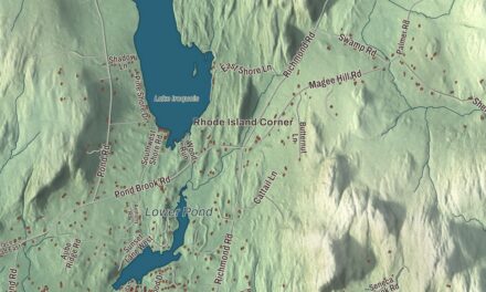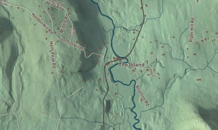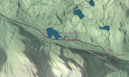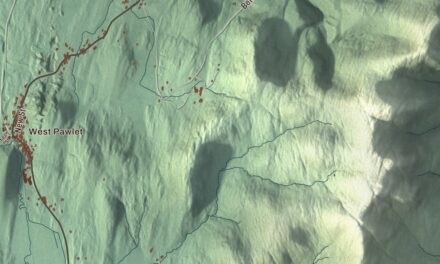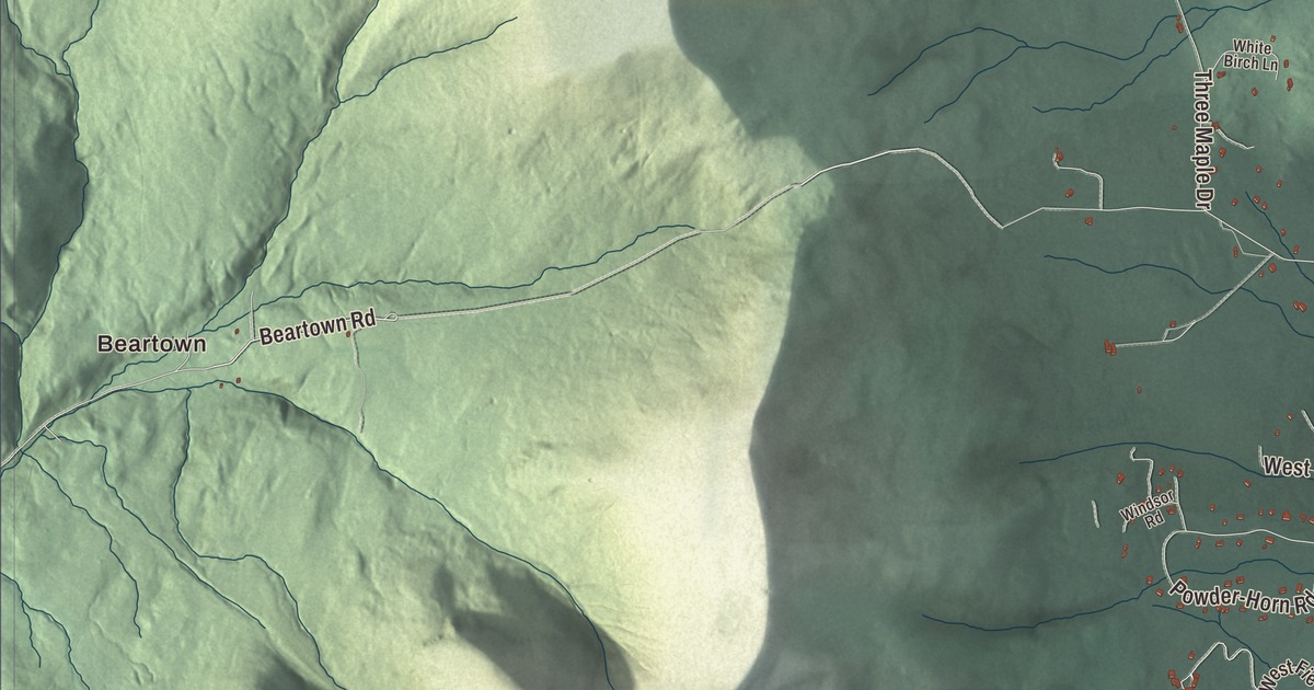
Manchester lies in the valley between the Green Mountains and the Taconics, with Equinox Mountain rising in the west of town and the Batten Kill running through it. This map prints Main Street, Bonnet Street, Depot Street, Maple Street, Rootville Road and Beartown Road, with Manchester Center, Manchester Depot, Richville, Barnumville and Beartown, and Equinox Pond, Dufresne Pond, Pickerel Pond and Bullhead Pond.
Manchester is a town in Bennington County, Vermont.
KNOWOL made this map in 2026 from public survey data and gave it the look of an old county atlas, shading the hills from United States Geological Survey elevation data and drawing the roads and town line from the Census Bureau. Manchester is one of the two shire towns of Bennington County, with 4,484 people at the 2020 census, and it holds two settlement centers, the incorporated village of Manchester and Manchester Center. Click here to purchase a print of this map for your wall.
Sheep, marble and summer guests
Benning Wentworth, the royal governor of New Hampshire, granted Manchester on August 11, 1761, one of several towns he chartered that year. He liked to name new towns for English aristocrats in the hope they’d take an interest in them, and this one honors Robert Montagu, 3rd Duke of Manchester. The town organized on February 14, 1764, the year the town’s page gives for its first settlement, and the village’s first inn went up in 1769. The land suited grazing better than plowing, and by 1839 about 6,000 sheep were out on the pastures and hillsides. Iron mines, marble quarries and mills and lumber companies followed. When the railroad arrived from New York City and other industrial centers, it brought tourists, drawn by the town’s old buildings and its setting among the mountains, and after the Civil War Manchester became the resort town it still is.
The village of Manchester was one of the first places in New England developed and promoted as a summer resort, according to its page, much of that the work of Charles F. Orvis. In 1856 he founded his fishing tackle business in the Orvis Building across from the hotel, and the town’s page calls Orvis the oldest mail-order retailer in the United States. The Equinox House, one of Vermont’s few surviving 19th-century grand hotels, anchors the village, on the site of that first inn, and its guests included Ulysses S. Grant and Mary Todd Lincoln with her son Robert. Across Main Street stand the Bennington County Courthouse of 1822 and the First Congregational Church of 1871, the town’s tallest building. The village center is the Manchester Village Historic District, listed in 1984. Dellwood Cemetery, laid out in 1865 in the rural style, keeps stones moved from the old town burying ground of 1784.
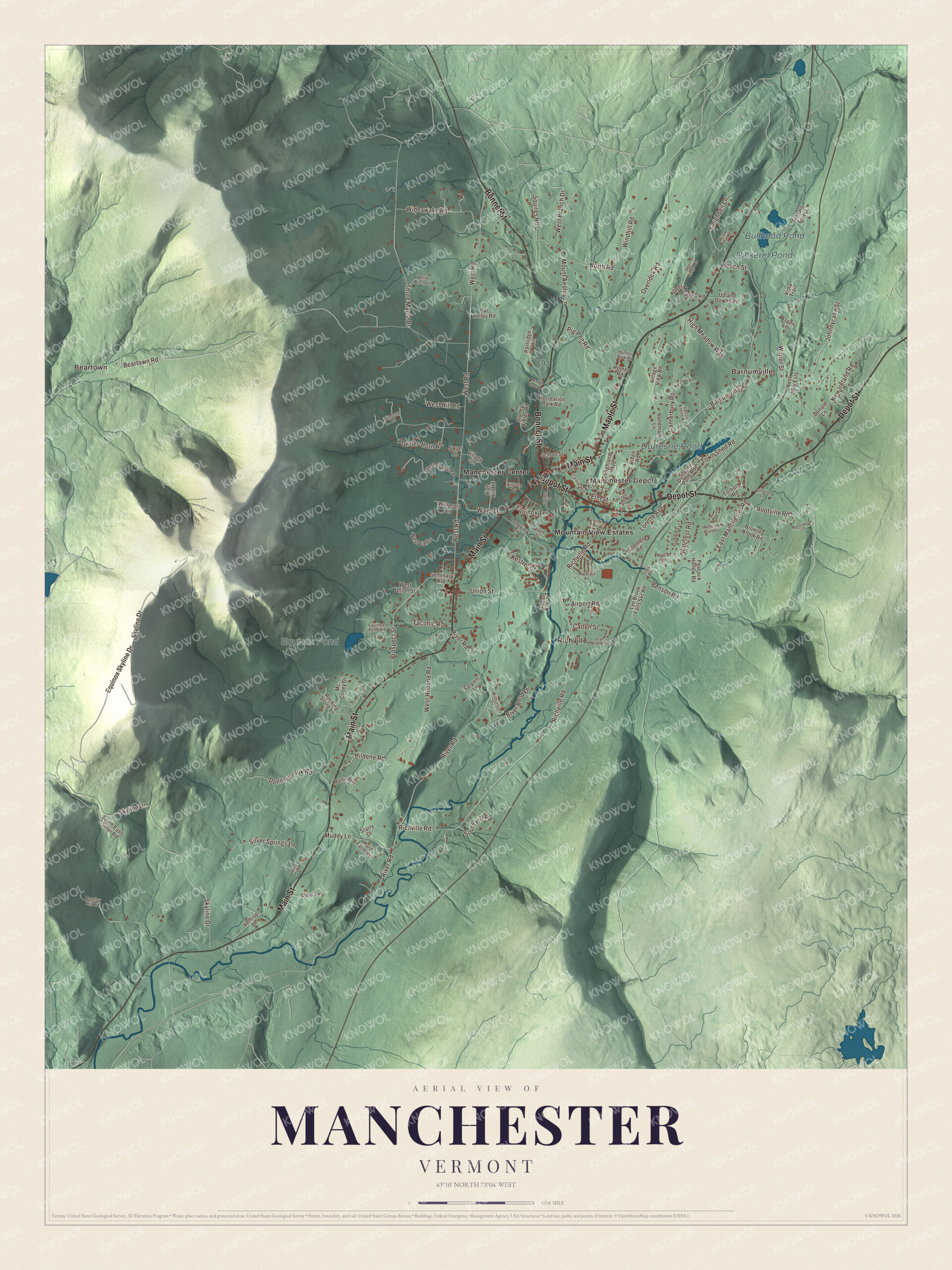
Click to explore a larger preview. The digital watermark does not appear on printed maps.
Names on this map
These names are printed on this map.
Places: Beartown, Barnumville, Manchester Depot, Dufresne Pond, Equinox Pond, Pickerel Pond, Bullhead Pond, Manchester Center, Mountain View Estates and Richville.
Streets and roads: Main Street, Maple Street, Depot Street, Bonnet Street, Rootville Road, Beartown Road, Ways Lane, West Road, Richville Road, River Road, Skyline Drive, Barnumville Road.
More street names, A to Z
Airport Road, Applejack Road, Applewood Lane, Aspen Lane, Bank Run, Battan Kill Lane, Beech Street, Benson Road, Bentley Hill Road, Bromley Brook Road, Butternut Lane, Canterbury Road, Carlen Street, Center Hill, Coombs Road, Cottage Street, Deer Meadow Road, Deer Ridge Road, Donald Lane, Donner Brook Road, Dufresne Pond Road, Eagle Nest Road, East Manchester Road, Elm Street, Equinox Pond Road, Equinox Skyline Drive, Equinox Terrace, Finbars Forest, Glen Road, Hard Farm Road, High Hill Road, Highland Avenue, High Meadow Way, Hildene Road, Hillcrest Road, Hillvale Drive, Homer Road, Hunter Park Road, Johnnycake Street, Kestrel Court, Landmark Lane, Lathrop Lane, Lijou Terrace, Longview Drive, Lorette Avenue, Lye Brook Falls Svc Road, Lye Brook Road, Marble Brook Lane, Mc Cooey Drive, Mending Walls Road, Moosewood Lane, Mount Aeolus Lane, Muddy Lane, New Ireland Road, North Road, Overlook Road, Partridge Hill, Pat Kelley Road, Peace Street, Peacock Hollow Road, Pig Pen Road, Powder-Horn Road, Prospect Street, Recreation Park Road, Ridge Road, River Bend Drive, Rocking Stone Lane, Sargent Lane, School Street, Seminary Avenue, Silver Springs Lane, Sleighbell Lane, South East Corner Road, South Hill Road, Squires Road, Starry Drive, Stoney Fields Road, Swan Lane, Taconic Road, Three Maple Drive, Torbank Road, Town Shed Road, Union Street, Upland Downs Road, Upson Knolls Road, Village Gln, Village View Road, Vista Trail, West Branch Drive, West Fields, West Fields Road, West Hildene Road, West Hill Road, West Union Street, West View Ests, White Birch Lane, Wideawake Road, Wilburton Drive, Wilcox Lane, Willow Pond Road, Windhill Road, Windsor Road, Winter Street, Witherell Lane.
See it on a wall
The Manchester map as a framed print. Swipe for more.


Hildene
Robert Todd Lincoln, the only one of Abraham and Mary Todd Lincoln’s children to live into adulthood, first came here at 20, in the summer of 1863, when he, his brother Tad and their mother stayed at the Equinox House to escape the heat of Washington. In 1905 he completed Hildene, a Georgian Revival house on a promontory 300 feet above the Battenkill Valley, and in 1907 a formal garden was planted there in the pattern of a cathedral’s stained glass window, now known for more than 1,000 peonies. Lincoln, who had been president of the Pullman Company, died at Hildene in 1926. His family lived there until 1975, and since 1978 the Friends of Hildene have kept the house and its 412 acres open to the public.
Arts, fishing and snowboards
The Southern Vermont Arts Center sits on West Road at the Yester House estate, built as a summer country place in 1916, with galleries, a sculpture park, a performance space and trails. Equinox Mountain, 3,850 feet, is the highest summit in the Taconic Range, and the Lye Brook Trail leads to Lye Brook Falls, 125 feet high and one of the highest waterfalls in Vermont. Orvis opened its flagship store in Manchester in 1956 for the company’s 100th year, started its fly-fishing school here in 1966, and in 2024 moved its headquarters to its Manchester campus. Jake Burton Carpenter perfected snowboard design in his garage in Manchester, and Burton Snowboards ran from the town from 1978 until it moved to Burlington in 1992.
On the map, follow Main Street, Bonnet Street and Depot Street through Manchester Center, then take Maple Street, Rootville Road and Beartown Road. Manchester Depot and Richville are printed, Beartown and Barnumville too, and so are Equinox Pond, Dufresne Pond, Pickerel Pond and Bullhead Pond. Out on Richville Road, the Amos Lawrence House is a Greek Revival farmhouse of about 1840, built on the 70 acres Lawrence bought in 1826, and on River Road the Hard Farm Homestead overlooks the Battenkill. Manchester dates to 1761.
This map of Manchester is made for everyone who calls Manchester home, and it shows the town as it looks today, from Equinox Mountain to Manchester Depot. Hang it in an office, library or den, or use it to teach children the geography and history of their town. It’s printed on museum quality archival paper. Zoom in on the preview above to explore the details, then click here to get your copy of the Manchester, Vermont map.

Sources
- Manchester, Vermont, Wikipedia
- Town histories and representatives, M towns, Vermont Legislature
- Manchester (village), Vermont, Wikipedia
- Equinox House Historic District, Wikipedia
- Dellwood Cemetery, Wikipedia
- Hildene, Wikipedia
- Robert Todd Lincoln, Wikipedia
- Southern Vermont Arts Center, Wikipedia
- Equinox Mountain, Wikipedia
- Lye Brook Wilderness, Wikipedia
- Orvis, Wikipedia
- Burton Snowboards, Wikipedia
- Amos Lawrence House, Wikipedia
- Hard Farm Homestead, Wikipedia