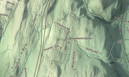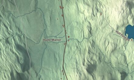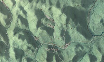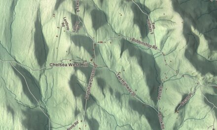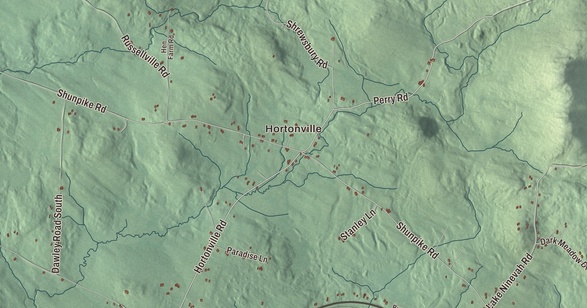
Mount Holly sits up in the Green Mountains west of Ludlow, and it takes in the hamlets of Belmont, Healdville, Hortonville and Tarbellville. This map prints Healdville Road, Belmont Road, Hortonville Road, Perry Road, Shrewsbury Road and Lake Ninevah Road, with Bowlsville, Mount Holly Heights, Lake Ninevah, Star Lake and the Mill River.
Mount Holly is a town in Rutland County, Vermont.
KNOWOL made this map in 2026 from public survey data and gave it the look of an old county atlas, shading the hills from United States Geological Survey elevation data and drawing the roads and town line from the Census Bureau. The town covers 49.6 square miles, and 1,385 people lived here at the 2020 census. Click here to purchase a print of this map for your wall.
A town made from a gore
Mount Holly was put together on October 31, 1792, from Jackson’s Gore, which Vermont had granted on February 23, 1781, and from pieces of Ludlow and Wallingford. It organized on November 19, 1792, and Abraham Jackson was its first representative in the legislature, in 1793. The Mill River rises in the southern part of town, west of the Okemo Mountain ski area, and flows northwest beside Route 155 toward East Wallingford and Otter Creek. Route 140 comes over from Wallingford and ends at Route 103 inside Mount Holly.
The mammoth by the tracks
In 1848, men working on the railroad uncovered the tusk, teeth and bones of a woolly mammoth beneath the tracks in Mount Holly, among the first scientifically documented fossil finds in Vermont. In 2014 the state named that mammoth’s tooth and tusk the state terrestrial fossil of Vermont, and they’re kept at the Mount Holly Community Historical Museum in Belmont. Belmont, about six miles west of Ludlow village, has a small general store, and its green, at the center of a cluster of historic buildings, holds a Baptist church, a community library and the historical society’s museum. On Church Street, just northeast of the Baptist church, the Green Mountain Cottage began as a farmhouse around 1853. Bart Chadburn, an immigrant from Quebec, bought it with a 50-acre farm in 1878 and began taking in tourists in the 1880s, and his family kept the tourist house going until 1943. It was listed on the National Register of Historic Places in 2021.
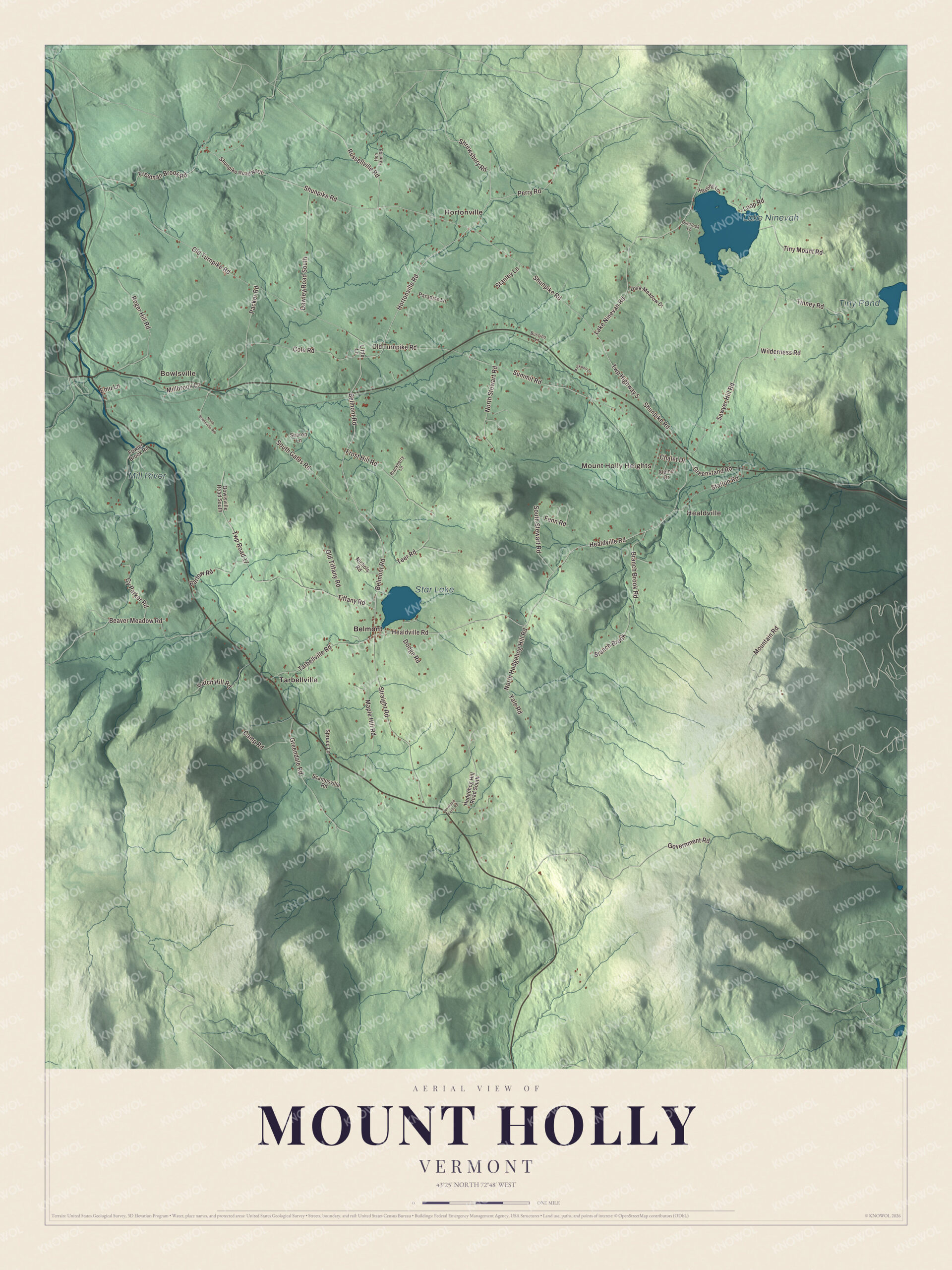
Click to explore a larger preview. The digital watermark does not appear on printed maps.
Names on this map
These names are printed on this map.
Places: Hortonville, Bowlsville, Mount Holly Heights, Healdville, Lake Ninevah, Star Lake, Tiny Pond, Mill River, Belmont and Tarbellville.
Streets and roads: Healdville Road, Belmont Road, Hortonville Road, Perry Road, Twp Highway 5, Shrewsbury Road, Lake Ninevah Road, Shunpike Road, Old Turnpike Road, Sawyer Hill Road, Twp Road 17, Government Road.
More street names, A to Z
Alpine Drive, Barlow Road, Beaver Meadow Road, Blackberry Lane, Bowlsville Road South, Branch Brook, Branch Brook Road, Bussino Lane, Camp Road, Chalet Drive, Cole Road, Cy Parker Road, Dark Meadow Drive, Dawley Road South, Dodge Road, Emu Lane, Fenn Road, Fowler Brook Road, Freeman Brook Road, Frost Hill Road, Greendale Road, Greenstand Road, Hasting Lane, Hedgehog Hill Road South, Hen Farm Road, Howland Farm Road, Little Lane, Loop Road, Maple Hill Road, Markwell Lane, Millbrook Lane, Mountain Road, Nichols Road, North Bowlsville Road, North Hedgehog Hill Road, North Stewart Road, Old Tiffany Road, Overlook Lane, Packer Road, Paradise Lane, Patch Hill Road, Roger Hill Road, Russellville Road, Scampsville Road, Sharon Lane, Shunpike Road North, South Gates Road, South Stewart Road, Spruce Lane, Stanley Lane, Station Road, Straight Road, Summit Road, Tarbellville Road, Teer Road, Tiffany Road, Tinney Road, Tiny Mount Road, Wilderness Road, Yale Road.
See it on a wall
The Mount Holly map as a framed print. Swipe for more.


Crowley cheese and a house called Corbu
About a mile and a third southwest of Healdville, the Crowley Cheese Factory has stood on Crowley Lane since 1881. A. Winfield Crowley started the company to turn the surplus milk of local farmers into cheese, which was sold at the Healdville railroad depot, and three generations of the family ran it for 85 years. The company is believed to be the oldest surviving cheese company in Vermont and one of the oldest in the nation in continuous operation, and the factory still makes cheese by its original methods and recipes. Far newer, the Anthony Scoville House on Dawley Road was built from 1964 to 1968 by the young architect Anthony Scoville and his fellow Yale students. He named it Corbu for Le Corbusier, whose ideals it follows: a square house with an overhanging upper story and a 20-foot concrete tower rising at its center. From 2006 to 2009 the town’s Planning Commission had Arrowwood Environmental survey Mount Holly’s natural communities and wildlife habitats, and copies of the report and maps are kept at the Town Office and the Town Library.
Mount Holly people
Horatio Earle, born on a Mount Holly farm in 1855, moved to Michigan and became known as the “Father of Good Roads.” He introduced the law that created Michigan’s State Highway Department, and his page credits him with the world’s first mile of concrete road, laid on Woodward Avenue in Detroit in 1909. Julian Cook, born here in 1916, led his battalion of the 82nd Airborne Division in the daylight crossing of the Waal River in September 1944 and received the Distinguished Service Cross. The snowboarder Hannah Teter, born in Belmont in 1987, won Olympic gold in the halfpipe at the 2006 Winter Games in Turin and silver at Vancouver in 2010. Joseph Kinney Jr., born in Mount Holly in 1799, sat in Wisconsin’s first constitutional convention in 1846.
On the map, start at Hortonville and Bowlsville, then follow Healdville Road, Belmont Road, Hortonville Road, Perry Road, Shrewsbury Road and Lake Ninevah Road. Mount Holly Heights, Healdville, Belmont and Tarbellville are printed, and so are Lake Ninevah, Star Lake, Tiny Pond and the Mill River. Mount Holly dates to 1792.
This map of Mount Holly is made for everyone who calls Mount Holly home, and it shows the town as it looks today, from Belmont to Healdville and Lake Ninevah. Hang it in an office, library or den, or use it to teach children the geography and history of their town. It’s printed on museum quality archival paper. Zoom in on the preview above to explore the details, then click here to get your copy of the Mount Holly, Vermont map.

Sources
- Mount Holly, Vermont, Wikipedia
- Town histories and representatives, M towns, Vermont Legislature
- Mill River (Otter Creek tributary), Wikipedia
- Vermont Route 140, Wikipedia
- Paleontology in Vermont, Wikipedia
- Belmont, Vermont, Wikipedia
- Green Mountain Cottage, Wikipedia
- Crowley Cheese Factory, Wikipedia
- Anthony Scoville House, Wikipedia
- Natural Heritage Element Inventory and Assessment, Town of Mount Holly
- Horatio Earle, Wikipedia
- Julian Cook, Wikipedia
- Hannah Teter, Wikipedia
- Joseph Kinney Jr., Wikipedia