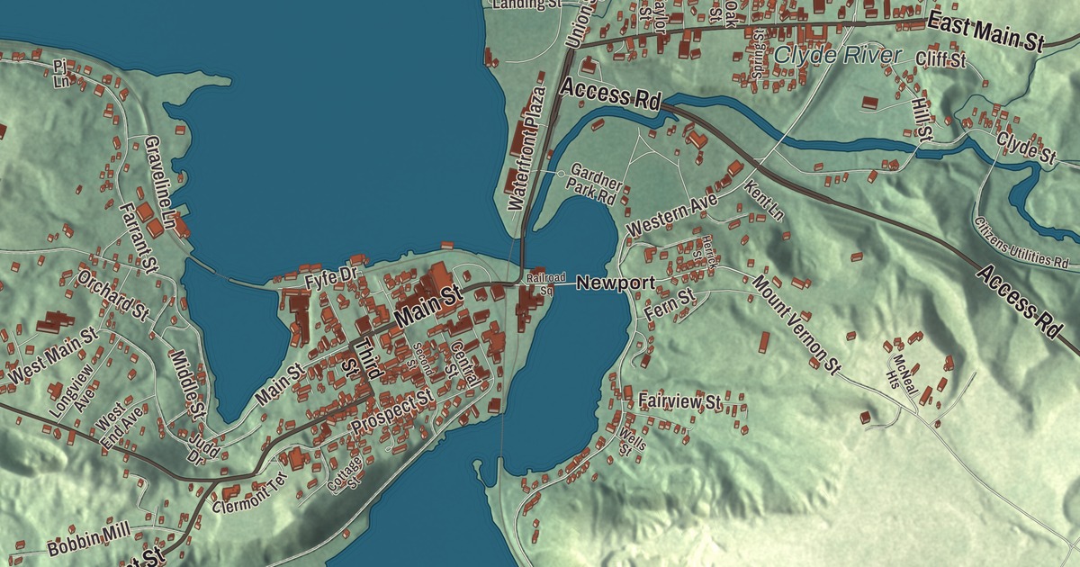
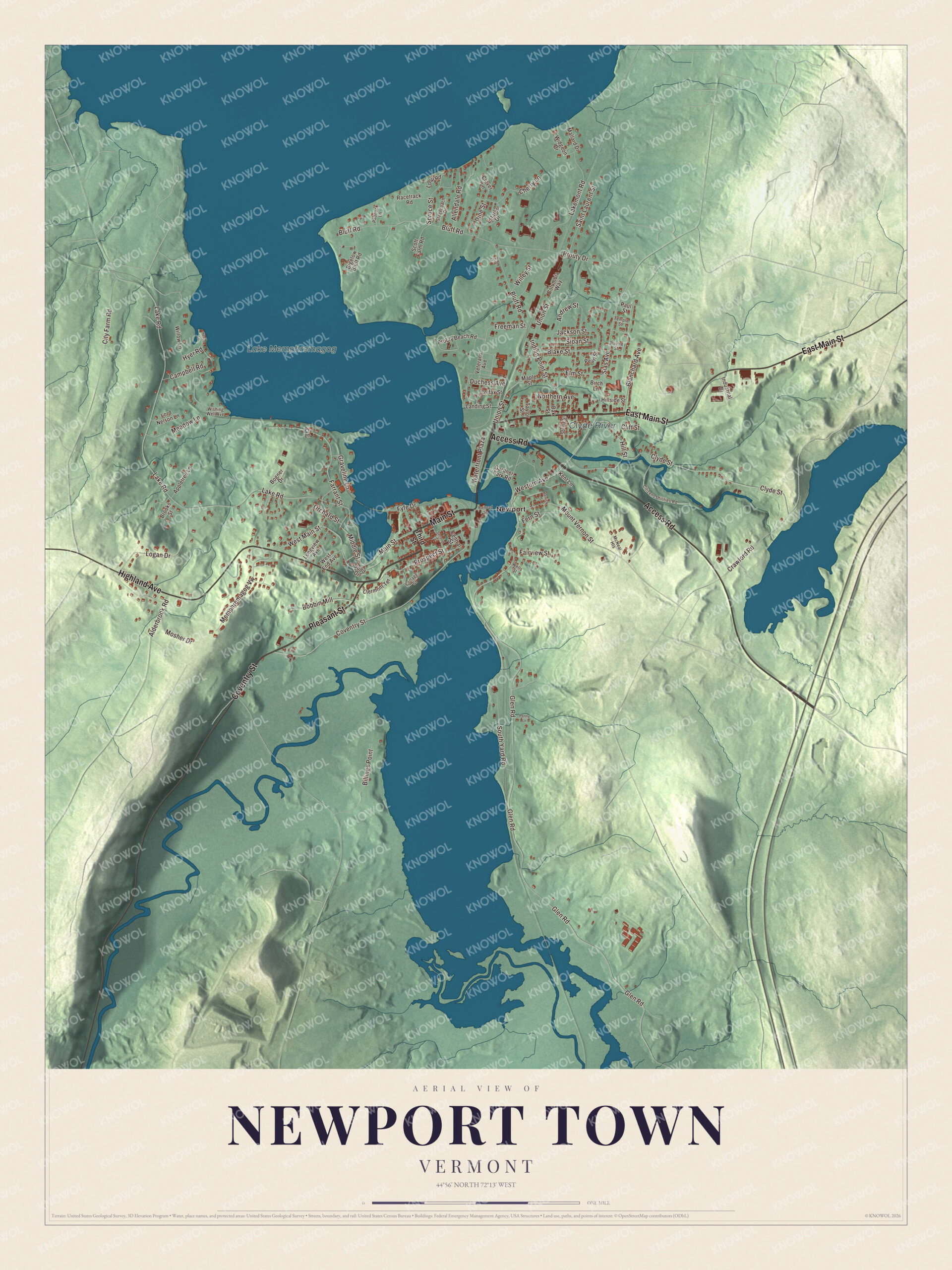
The Postal Service and the media call this town Newport Center, after its main village in the valley of Mud Creek, and the separate city of Newport lies next door on Lake Memphremagog. The streets this map prints, Main Street, Pleasant Street, Access Road, East Main Street, Coventry Street and Highland Avenue, belong to that city, Newport, on the town’s eastern side.
Newport Town is a town in Orleans County, Vermont.
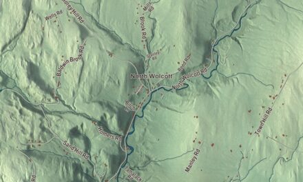
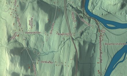
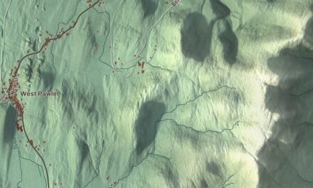
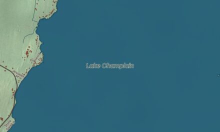
KNOWOL made this map in 2026 from public survey data and gave it the look of an old county atlas, shading the hills from United States Geological Survey elevation data and drawing the roads and town line from the Census Bureau. The town covers 43.5 square miles, and 1,526 people lived here at the 2020 census. Click here to purchase a print of this map for your wall.
Duncansboro
Vermont granted the town on October 26, 1781, and chartered it on October 30, 1802, as Duncansboro, to George Duncan, Nathan Fisk and 63 others. Amos Sawyer, Enos Bartlett and James C. Adams, among its first settlers, were its first selectmen, and Sawyer, a carpenter by trade, was also the first town clerk. Luther Chapin first represented the town in the legislature, from 1800 to 1804. The name changed from Duncansboro to Newport on October 30, 1816.
The first clearing was made where Newport Center stands now, by H. and A. Adams and D. and S. Meacham, who dammed Mud Creek and put up a sawmill driven by a waterwheel; Amos Sawyer built his home nearby. Two more settlements grew up in the town, South Newport in the south and Pickeral Point at the head of the lake, later renamed Lake Bridge. When the Boston and Maine and Central Vermont railroads came through Lake Bridge in the late 1800s, that village boomed, and in 1868 it was incorporated as the Village of Newport. Newport Center was incorporated as a village of its own in 1908.
Town and city part ways
In 1917 the Village of Newport left the town and joined the village of West Derby, in the town of Derby, to form the City of Newport. In 1931, by special acts of the General Assembly, the Village of Newport Center consolidated with the town, which took over its duties.
Click to explore a larger preview. The digital watermark does not appear on printed maps.
Names on this map
These names are printed on this map.
Places: Clyde River, Lake Memphremagog and Newport.
Streets and roads: Main Street, Pleasant Street, Access Road, East Main Street, Coventry Street, Highland Avenue, Western Avenue, Mount Vernon Street, Sias Avenue, Glen Road, Lake Road, Bluff Road.
More street names, A to Z
Alderbrook Road, Allendale Road, Andrew Street, Appletree Lane, Bigelow Bluff Road, Billings Point, Birch Lane, Blake Street, Blanchard Avenue, Bobbin Mill, Bogner Drive, Brooks Street, Campbell Road, Central Street, Cherry Lane, Citizens Utilities Road, City Farm Road, Clermont Terrace, Cliff Street, Clover Lane, Clyde Street, Colfax Street, Columbia Way, Cottage Street, Cove Road, Crawford Road, Duchess Avenue, Elm Street, Estates Drive, Fairview Street, Farrant Street, Fern Street, Freeman Street, Fyfe Drive, Gardner Park Road, Graveline Lane, Heron Lane, Herrick Street, Hillside Street, Hill Street, Hyer Road, Indian Point Street, Industrial Drive, Jackson Street, Judd Drive, Kent Lane, Lakemont Road, Landing Street, Logan Drive, Longview Avenue, Loop Road, Lord Nelson Lane, Mallard Drive, Maple Street, McNeal Heights, Meadow Lane, Memphremagog Vw, Middle Street, Mosher Drive, Northern Avenue, Oak Street, Orchard Street, Paddock Lane, Paul Street, Pearl Street, Penny Lane, Pine Street, Pj Lane, Poutre Street, Prospect Street, Prouty Beach Road, Prouty Drive, Racetrack Road, Railroad Square, Saint Laurent Street, Scott Farm Road, Second Street, Sloan Street, South Yard Road, Spring Street, Spruce Street, Stagecoach Drive, Taylor Street, Temple Street, Third Street, Union Street, Veterans Avenue, Waterfront Plaza, Wells Street, West End Avenue, West Main Street, Widgeon Drive, Willey Street, Willow Lane, Wishing Well Avenue.
See it on a wall
The Newport Town map as a framed print. Swipe for more.


Newport Center and Mud Creek
Newport Center lies roughly at the geographic center of the town, and 231 of the town’s 1,526 people lived there at the 2020 census. The village sits in the valley of Mud Creek, which flows northwest to the Missisquoi River, which carries it west to Lake Champlain. Route 105 runs through the village, 6 miles northwest to North Troy by the Canadian border and the same distance east-southeast to the city of Newport. Inside the city the same road is Highland Avenue, leading out of the city’s center toward the rural communities to its west.
Newport people
Josiah Grout, who would serve as governor of Vermont from 1896 to 1898, represented Newport in the legislature in the 1870s and was Speaker of the House in 1874. Charles Adams, born in Newport in 1876, was the first owner of the Boston Bruins and was inducted into the Vermont Sports Hall of Fame in 2013. George “Spike” Hamilton, the bandleader, was born in Newport, where his mother’s father had founded the family store in 1859; he studied violin as a boy, went to Dartmouth, and was buried in Newport.
On the map, start at Newport, then follow Main Street, Pleasant Street, Access Road, East Main Street, Coventry Street and Highland Avenue. The Clyde River and Lake Memphremagog are printed. Newport Town dates to 1802.
This map of Newport Town is made for everyone who calls Newport Town home, and it shows the town as it looks today, alongside the city of Newport and the south end of Lake Memphremagog. Hang it in an office, library or den, or use it to teach children the geography and history of their town. It’s printed on museum quality archival paper. Zoom in on the preview above to explore the details, then click here to get your copy of the Newport Town, Vermont map.

Sources
- Newport (town), Vermont, Wikipedia
- Town histories and representatives, N towns, Vermont Legislature
- Newport (city), Vermont, Wikipedia
- Newport Center, Vermont, Wikipedia
- House at 68 Highland Avenue, Wikipedia
- Josiah Grout, Wikipedia
- Charles Adams (ice hockey), Wikipedia
- George Hamilton (musician), Wikipedia