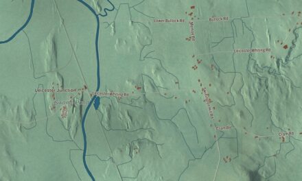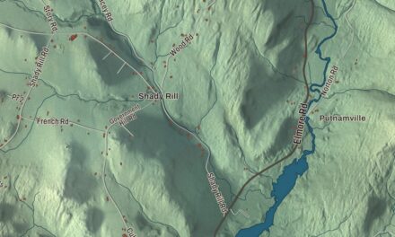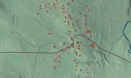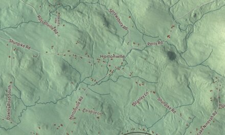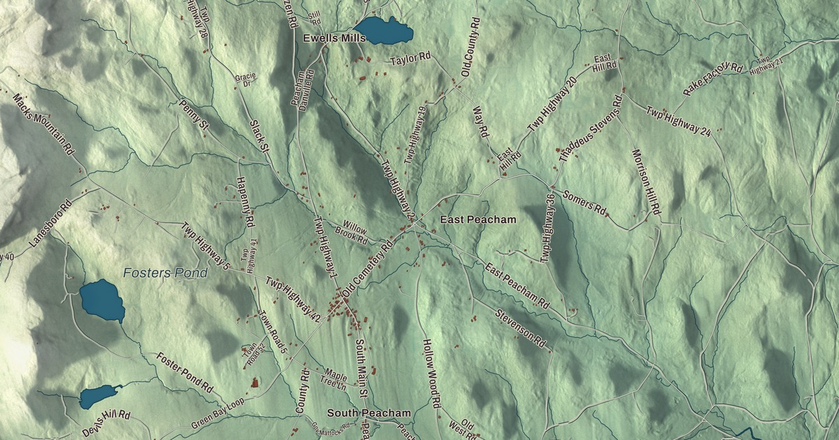
Peacham grew up as a hill town in Caledonia County, and the Bayley-Hazen Road, cut through the woods during the Revolutionary War, is still the main road north through it. This map prints Bayley-Hazen Road, Thaddeus Stevens Road, Macks Mountain Road, Old Cemetery Road, State Forest Road and Way Road, with Peacham Corner, South Peacham, East Peacham, Ewells Mills and Green Bay.
Peacham is a town in Caledonia County, Vermont.
KNOWOL made this map in 2026 from public survey data and gave it the look of an old county atlas, shading the hills from United States Geological Survey elevation data and drawing the roads and town line from the Census Bureau. The town covers 47.7 square miles, and 715 people lived here at the 2020 census. Click here to purchase a print of this map for your wall.
A military road and a tavern
Benning Wentworth, governor of New Hampshire, granted Peacham on December 31, 1763. The proprietors were speculators who surveyed the land, laid out a few rough roads and divided it into lots, and the land stayed unsettled for some time. In 1776 Jacob Bayley and 60 men pushed a military road about 6 miles into what is now Peacham before rumors of a British army stopped the work, and in 1779 Colonel Moses Hazen’s regiment took it up again and built blockhouses along the way, one of them at Peacham. Settlers, mostly from Connecticut and Massachusetts, bought lots and began farming in the middle 1770s. Jonathan Elkins, from Haverhill, New Hampshire, built a log cabin here in 1775, and the road came past it later that decade. In 1787 he built a house beside it that also served as a tavern for travelers. The Elkins Tavern still stands on the east side of Bayley-Hazen Road south of the main village, and its National Register listing says it has one of the best-preserved 18th-century interiors in Vermont. James Bailey represented Peacham in the legislature in 1780 and 1781.
The academy town
Early on, Peacham was offered a choice between the county courthouse and the county school, and the voters chose the school. The Caledonia County Grammar School got its charter in 1795 and began in a log building on the Bayley Hazen Road, halfway between Peacham Corner and South Peacham. Later called Peacham Academy, it was one of the region’s first secondary schools, according to the village’s historic district listing, and it closed in 1971. The Peacham Library started out serving the academy’s debating team and moved from store to store around town until it got a building of its own in 1909. The Congregational church was organized in 1794 under its first pastor, Leonard Worcester, who was known for fiery sermons and also worked as a printer in town.
Thaddeus Stevens was born in Danville in 1792, and in 1807 his mother moved the family to Peacham and enrolled him at the grammar school; after graduating from Dartmouth he came back and taught here for a short time. In Pennsylvania he became a strong voice for free public education, and in Congress he was one of the leaders of the Radical Republicans, a fierce opponent of slavery who worked to secure the rights of Black Americans during Reconstruction. A road on the map is called Thaddeus Stevens Road. Samuel Worcester, the pastor’s son, was born in Peacham on January 19, 1798. As a missionary to the Cherokee he worked with Elias Boudinot to start the Cherokee Phoenix, published in both Cherokee and English, and he was the plaintiff in Worcester v. Georgia, the 1832 case in which the Supreme Court ruled that the Cherokee Nation was independent and that only the federal government could deal with it.
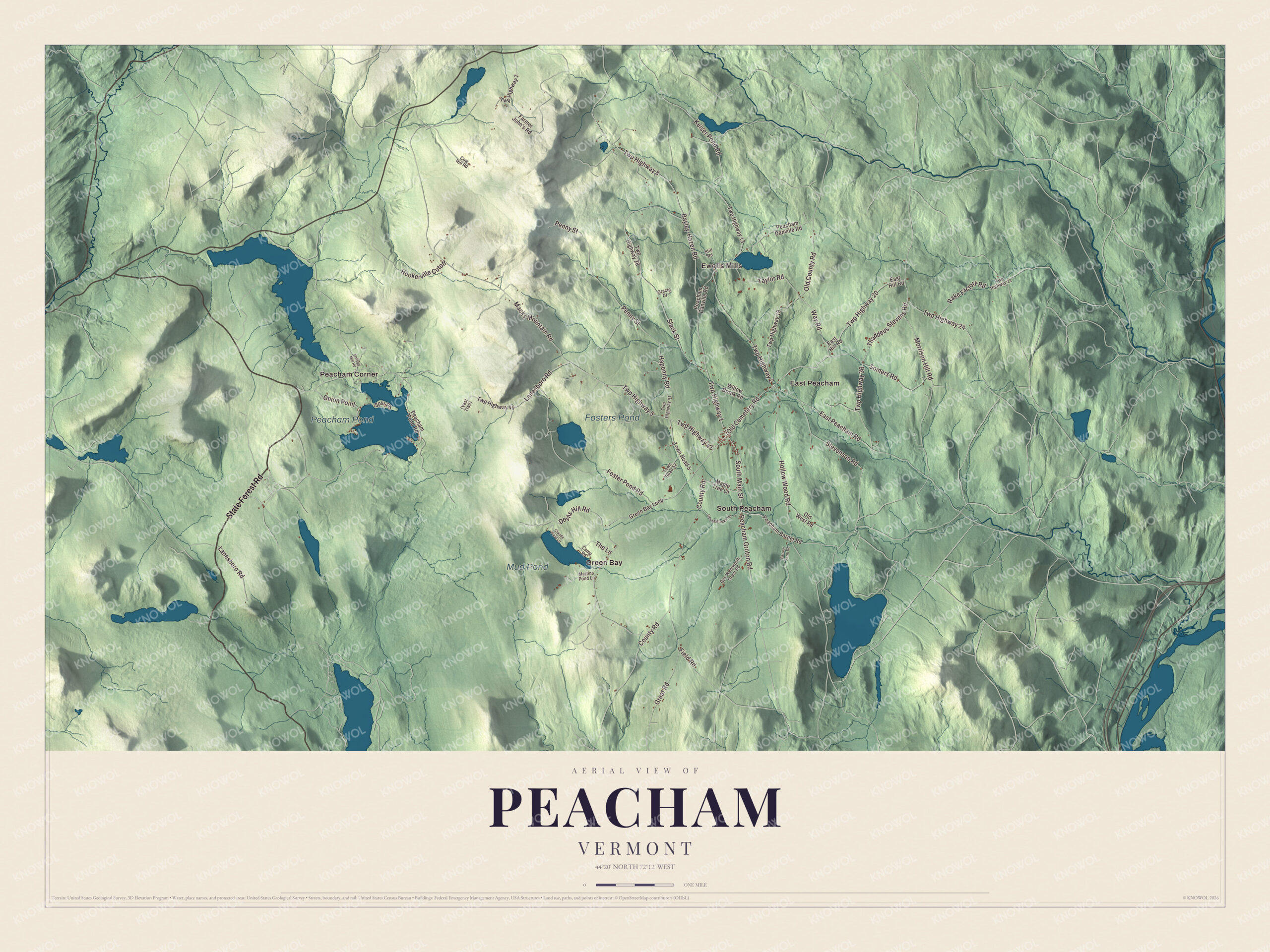
Click to explore a larger preview. The digital watermark does not appear on printed maps.
Names on this map
These names are printed on this map.
Places: Peacham Pond, Mud Pond, Fosters Pond, East Peacham, Ewells Mills, Green Bay, Peacham Corner and South Peacham.
Streets and roads: State Forest Road, Twp Highway 1, Old Cemetery Road, Thaddeus Stevens Road, Twp Highway 8, Twp Highway 42, Bayley-Hazen Road, Way Road, Macks Mountain Road, Twp Highway 5, East Peacham Road, Twp Highway 2.
More street names, A to Z
Camp Road, Claude Field Lane, County Road, Cow Hill Road, Devils Hill Road, East Hill Road, Farmer John's Road, Farrow Farm Road, Field Road, Foster Pond Road, Gov Mattocks Road, Gov Wentworth Grant Road, Gracie Drive, Great Road, Green Bay Loop, Hapenny Road, Hollow Wood Road, Hookerville Cutoff, Keiser Pond Road, Kellogg Mill Road, Lanesboro Road, Maple Tree Lane, Martins Pond Lane, Morrison Hill Road, Old County Road, Old West Road, Onion Point, Peacham Barnet Road, Peacham Danville Road, Peacham Groton Road, Peacham Pond Road, Penny Street, Rake Factory Road, Slack Street, Somers Road, South Main Street, Spur Road, Stevenson Road, Still Road, Taylor Road, The Lane, Town Road 5, Town Road 52, Twp Highway 7, Twp Highway 13, Twp Highway 19, Twp Highway 20, Twp Highway 21, Twp Highway 24, Twp Highway 28, Twp Highway 36, Twp Highway 40, Twp Highway 41, Willow Brook Road.
See it on a wall
The Peacham map as a framed print. Swipe for more.


Peacham Corner
The village center is the Peacham Corner Historic District, listed on the National Register in 2003. It’s centered where Bayley-Hazen Road meets Church Street and Old Cemetery Road, and it reaches west along Church Street and Macks Mountain Road to the academy, the church and the town common, a triangle at Academy Hill Road, Church Street and Macks Mountain Road with the town’s war memorial on it. The Congregational church was finished in 1806 and moved a little way down the hill in 1844, and the cemetery dates to 1811. Growth here nearly stopped when the Civil War drew away much of the town’s population. The result is a hill village little changed since the middle 1800s, built mostly in the Federal and Greek Revival styles and largely passed over by the Victorian styles that came later. John Mattocks, a militia general in the War of 1812 and the 16th governor of Vermont, lived in Peacham, and his house of 1805 stands in the center of town as a local landmark.
Farms, summer people and a pond
Early Peachamites traded butter, eggs and wheat, and from 1800 to 1830 sheep paid better than crops. The town reached its largest population, 1,443, in 1840, and dairy farms later replaced the sheep. North of Peacham Corner, at 1721 Bayley-Hazen Road, the Josiah and Lydia Shedd Farmstead was started in 1816; Josiah was the town physician for many years, and the farm stopped working in 1955. Once the railroad reached Barnet, and later the automobile, summer residents came, some of them teachers from Boston and New York City, and later the linguist Roman Jakobson and the historian Shepard Clough both owned houses in town. In September 2005 Yankee magazine named Peacham its “Best New England Village.” In the 1930s the Civilian Conservation Corps built New Discovery State Park, with most of its facilities in western Peacham, and the park reaches east to Peacham Pond. The films Ethan Frome and The Spitfire Grill were shot in Peacham.
On the map, start with East Peacham and Ewells Mills, follow State Forest Road, Old Cemetery Road, Thaddeus Stevens Road, Bayley-Hazen Road, Way Road and Macks Mountain Road across town, and look out toward Green Bay, Peacham Corner and South Peacham. Peacham Pond, Mud Pond and Fosters Pond are printed as well. Peacham dates to 1763.
This map of Peacham is made for everyone who calls Peacham home, and it shows the town as it looks today, from Peacham Corner and the old military road out to Peacham Pond. Hang it in an office, library or den, or use it to teach children the geography and history of their town. It’s printed on museum quality archival paper. Zoom in on the preview above to explore the details, then click here to get your copy of the Peacham, Vermont map.

Sources
- Peacham, Vermont, Wikipedia
- Town histories and representatives, P towns, Vermont Legislature
- Bayley Hazen Military Road, Wikipedia
- Elkins Tavern, Wikipedia
- Peacham Corner Historic District, Wikipedia
- Thaddeus Stevens, Wikipedia
- Samuel Worcester, Wikipedia
- John Mattocks, Wikipedia
- Josiah and Lydia Shedd Farmstead, Wikipedia
- New Discovery State Park, Wikipedia