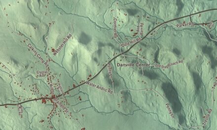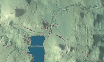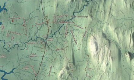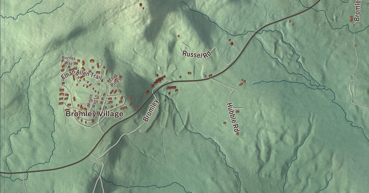
Peru sits on the crest of the Green Mountains, with Bromley Mountain just west of its town center and Route 11 running past both. This map prints Hapgood Pond Road, Mad Tom Notch Road, Little Michigan Road, Old Manchester Road, Rockbottom Road and South Road, along with Bromley Village and Hapgood Pond.
Peru is a town in Bennington County, Vermont.
KNOWOL made this map in 2026 from public survey data and gave it the look of an old county atlas, shading the mountains from United States Geological Survey elevation data and drawing the roads and town line from the Census Bureau. The town covers 37.3 square miles, and 531 people lived here at the 2020 census. Click here to purchase a print of this map for your wall.
From Bromley to Peru
Benning Wentworth, governor of New Hampshire, granted the town on October 13, 1761, under the name Bromley. The first settler is said to have been William Barlow of Woodstock, Connecticut, in 1773. The land was once described as 36 square miles of “trees, bears and mountain lions.” Bromley held its first town meeting in March 1802, when 14 families lived here, and Reuben Bigelow went to the legislature for the town the next year. On February 3, 1804, the name became Peru. The landowners chose it to draw buyers by linking the town with the South American country, which was thought of as a place of great wealth, apparently for its silver mines.
A town on the mountain crest
The crest of the Green Mountains runs north and south through the western half of Peru, and the Long Trail and the Appalachian Trail follow it. Bromley Mountain and its ski area rise in the southern part of town, and Styles Peak, at 3,392 feet, and Peru Peak, at 3,428 feet, stand to the north. The Long Trail, which its page calls the oldest long-distance trail in the United States, was built by the Green Mountain Club between 1910 and 1930 and passes through the Peru Peak Wilderness. The town center lies in the southeastern part of town at 1,706 feet, and Route 11 runs through it.
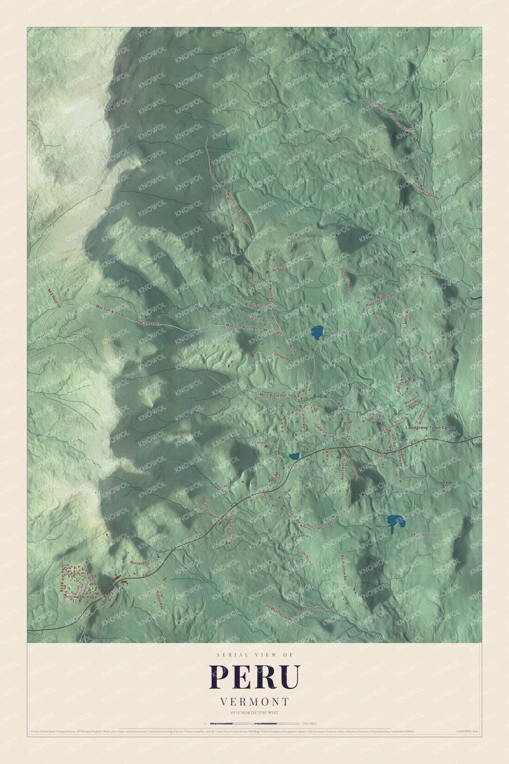
Click to explore a larger preview. The digital watermark does not appear on printed maps.
Names on this map
These names are printed on this map.
Places: Bromley Village, Mud Pond, Hapgood Pond, Lyons Pond and Landgrove Town Center.
Streets and roads: Little Michigan Road, Old Manchester Road, Rockbottom Road, NFS Road 21, Mad Tom Notch Road, Hapgood Pond Road, South Road, Danby Mountain Tabor Road Number 10, North Road Extended, NFS Road 58, North Road, Anderson Road.
More street names, A to Z
Adams Lane, Aldritch Road, Beatie Drive, Beechwood Drive, Beechwood Lane, Birches Way, Bradford Road, Bromley, Bromley Farm Road, Burnt Meadow Road, Catlin Road, Cedar Lane, Doc Furnum Road, Dump Road, Ethan Allen Trail, Forest Mountain Road, Glen Road, Halstead Lane, Hide and Seek Road, Hill Road, Hubble Road, Lovers Lane, Main Street, Minute Man Lane, Moffit Road, Moss Brook Road, Mountain Forest Road, Nichols Road, Pierce Road, Priest Lane, Rock Bottom Lane, Russel Road, Savage Road, Sconi Trail, Stone Place Road, Styles Lane, Sugar Hill, Sugar Hill Road, The Pines, Three Pond Road, Walts Camp Road, Yak Road.
See it on a wall
The Peru map as a framed print. Swipe for more.


Skiing at Bromley
In 1935 John Perry, David Parsons and Rolando Palmedo planned the Bromley Run from an airplane. The next year Ralph Hutchinson and the Works Progress Administration cut the first trail on the west side of the mountain, and in 1938 Fred Pabst Jr., son of the Pabst brewing company’s founder, opened Little Bromley. Its southern slope gave it the nickname “The Sun Mountain.” In 1958 Bromley put in a chairlift to the summit, which made it one of only four ski areas in the state with a chairlift, and in 1976 it put in North America’s first triple-tracked alpine slide for summer visitors. Bromley Village is the resort’s lodging on the mountain, and much of the Hapgood State Forest, 118 acres around the summit, is leased to the ski area.
Just east of the ski area, on the north side of Route 11, stands Johnny Seesaw’s. An inn and tavern stood on the spot as early as 1835, opened by Benjamin Barnard Jr. In 1924 Ivan Sesow, a Russian immigrant who worked in the lumber trade, bought the property and spent three years building a log dance hall with friends from the lumber camps, using only hand tools. In 1938 new owners turned it into a ski lodge for Bromley and named it for him. Charles “Minnie” Dole visited in its first year, and the lodge is the place where events leading to the founding of both the National Ski Patrol and the Army’s 10th Mountain Division took place. It also hosted Charles Lindbergh and Gerald Ford.
Ponds and a movie town
Hapgood Pond Recreation Area, part of the Green Mountain National Forest, has a campground, fishing, swimming and a one-mile nature trail. In the 1987 film Baby Boom, Diane Keaton’s character leaves New York City for a Vermont farmhouse, and the town she lands in, called Hadleyville, was filmed in Peru.
On the map, start with Bromley Village, follow Little Michigan Road, Old Manchester Road, Rockbottom Road, Mad Tom Notch Road, Hapgood Pond Road and South Road across town, and look east toward Landgrove Town Center. Mud Pond, Hapgood Pond and Lyons Pond are printed too. Peru dates to 1761, and Landgrove is the next town to the east.
This map of Peru is made for everyone who calls Peru home, and it shows the town as it looks today, from the slopes above Bromley Village to Hapgood Pond. Hang it in an office, library or den, or use it to teach children the geography and history of their town. It’s printed on museum quality archival paper. Zoom in on the preview above to explore the details, then click here to get your copy of the Peru, Vermont map.

Sources