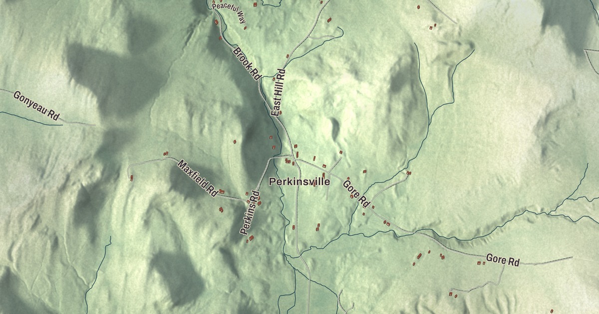
Plainfield village sits in the town’s northern corner where Great Brook meets the Winooski River, with Main Street crossing the river and Route 2 running along the valley toward Montpelier. This map prints Main Street, High Street, Brook Road, Middle Road, East Hill Road and Flood Road, with Perkinsville and Bancroft Pond.
Plainfield is a town in Washington County, Vermont.
KNOWOL made this map in 2026 from public survey data and gave it the look of an old county atlas, shading the hills from United States Geological Survey elevation data and drawing the roads and town line from the Census Bureau. The town covers 21.0 square miles, and 1,236 people lived here at the 2020 census. Click here to purchase a print of this map for your wall.
St. Andrew’s Gore
While independent Vermont was organizing its government, the surveyor for northern Vermont, James Whitelaw, noticed a parcel between Montpelier and Marshfield, smaller than a standard town, that had never been granted, and one corner of it bore the name St. Andrew’s Corner. Vermont granted it on October 26, 1788, as St. Andrew’s Gore, one of the land grants that paid Whitelaw and his assistants for their work. Most of the land was later sold to Ira Allen, who meant to rent it out to support a college in Burlington, but his agent, Jacob Davis, sold it to settlers instead, and the lawsuits went on for years. Settlement began in the 1790s. A dam went across the Winooski, and gristmills and sawmills followed.
The mill village was known at different times as Mill Privilege, Mud Hollow and Slab Holler. The name Plainfield came from Plainfield, New Hampshire, the hometown of the settler John Chapman, who made his suggestion more attractive by offering the town leather-bound record books. The legislature incorporated the town of Plainfield on November 6, 1797, Bradford Kinne represented it in 1800, and it belonged to Caledonia County until Washington County was organized in 1811. Plainfield, Wisconsin, was named by its postmaster, Elijah C. Waterman, for his hometown here.
The village on the river
The Plainfield Village Historic District, listed on the National Register in 1983, follows Route 2 and reaches across the river along Main Street to Creamery Street and along River Street just over Great Brook. A waterfall where Great Brook joins the Winooski powered the first mills in the late 1700s, and the village grew around that mill privilege. Fires and floods destroyed the mills more than once, and each time they were rebuilt, but today only the dam remains. The most common styles are the Greek Revival and Italianate of the middle 1800s, when the village was at its economic height, and there are an unusually large number of brick houses. The town hall is a Greek Revival former Universalist church, now the Plainfield Town Hall Opera House, built around 1841 and used for concerts and performances, and the Methodist church dates to 1852. Southeast of the village center, on Brook Road just past Great Brook, the brick Gale-Bancroft House was built around 1840, one of about a dozen brick houses in town.
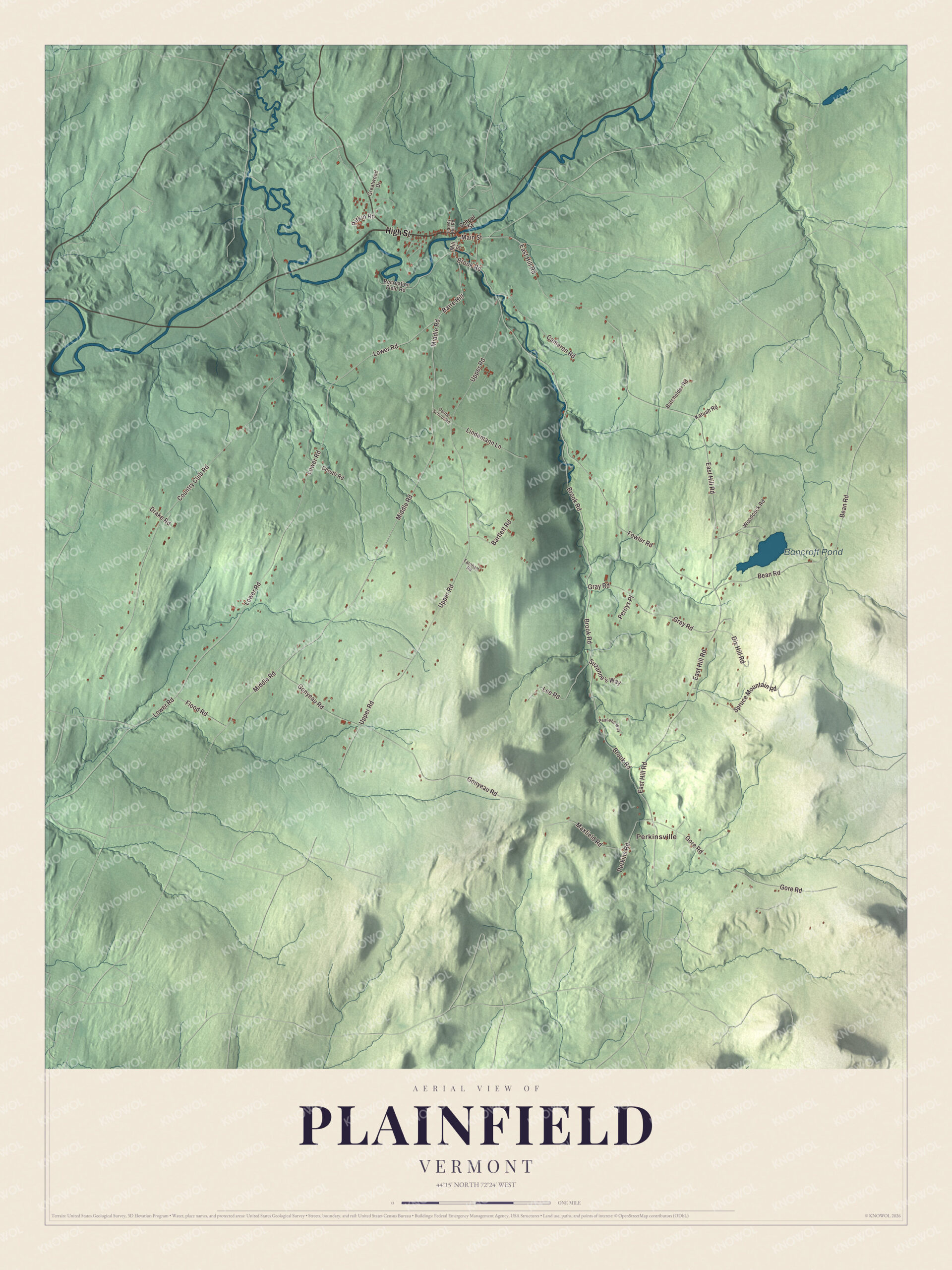
Click to explore a larger preview. The digital watermark does not appear on printed maps.
Names on this map
These names are printed on this map.
Places: Perkinsville and Bancroft Pond.
Streets and roads: High Street, Main Street, Barre Hill, Middle Road, East Hill Road, Flood Road, Brook Road, Lower Road, Country Club Road, Upper Road, Gonyeau Road, Bean Road.
More street names, A to Z
Bartlett Road, Batchelder Road, Cameron Road, Center School Road, Cerutti Road, Dix Hill Road, Drake Road, Farnham Road, Fowler Road, Gore Road, Gray Road, Greatwood Drive, Harvey Hill Road, Katuah Road, Lee Road, Lindemann Lane, Maxfield Road, Mill Street, Peaceful Way, Percys Place, Perkins Road, Pitkin Road, Recreation Field Road, School Street, Spruce Mountain Road, Suzanne's Way, Woodcock Road.
See it on a wall
The Plainfield map as a framed print. Swipe for more.


Greatwood and Goddard College
At the western edge of the village, on Route 2, Allenwood Farm grew from land that Jesse Martin, a Revolutionary War veteran, acquired around the turn of the 1800s. His son Allen built the brick house in 1827, and the house has stayed with his descendants ever since. Allen Martin’s grandnephew, Willard S. Martin Jr., built the Greatwood estate west of the farm, and in July 1938 the newly chartered Goddard College moved onto Greatwood Farm. Goddard grew out of a Universalist seminary founded in Barre in 1863 and became an experimental, progressive college, with discussion as the basic method of teaching and students helping run the college as a self-governing community. Its Adult Degree Program of 1963 was, according to its page, the first low-residency adult education program in the country. Goddard closed at the end of the spring 2024 semester.
Louise Glück began teaching poetry at Goddard in 1971 and went on to win the 2020 Nobel Prize in Literature. The composer Dennis Murphy started teaching there in the fall of 1967 and built the Goddard Gamelan from steel and found objects such as a hubcap, soup cans and an antique milk strainer; the composer Lou Harrison credited him as the first North American to build gamelan instruments. The town’s page lists members of the band Phish and the playwright David Mamet among Goddard’s alumni. WGDR, the radio station licensed to Plainfield, went on the air in 1973 and is described on its page as the oldest and biggest noncommercial community radio station in Vermont.
On the map, start with Perkinsville, then follow High Street, Main Street, Middle Road, East Hill Road, Flood Road and Brook Road across town. Bancroft Pond is printed too. East of the village the land rises toward Spruce Mountain, 3,030 feet high in Groton State Forest. Plainfield dates to 1797.
This map of Plainfield is made for everyone who calls Plainfield home, and it shows the town as it looks today, from the village on the Winooski to Bancroft Pond. Hang it in an office, library or den, or use it to teach children the geography and history of their town. It’s printed on museum quality archival paper. Zoom in on the preview above to explore the details, then click here to get your copy of the Plainfield, Vermont map.

Sources
- Plainfield, Vermont, Wikipedia
- Town histories and representatives, P towns, Vermont Legislature
- Plainfield Village Historic District, Wikipedia
- Gale-Bancroft House, Wikipedia
- Allenwood Farm, Wikipedia
- Goddard College, Wikipedia
- Louise Glück, Wikipedia
- Dennis Murphy (musician), Wikipedia
- WGDR, Wikipedia