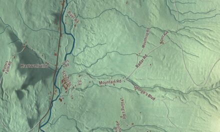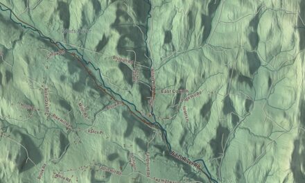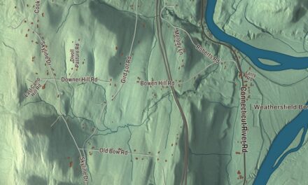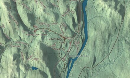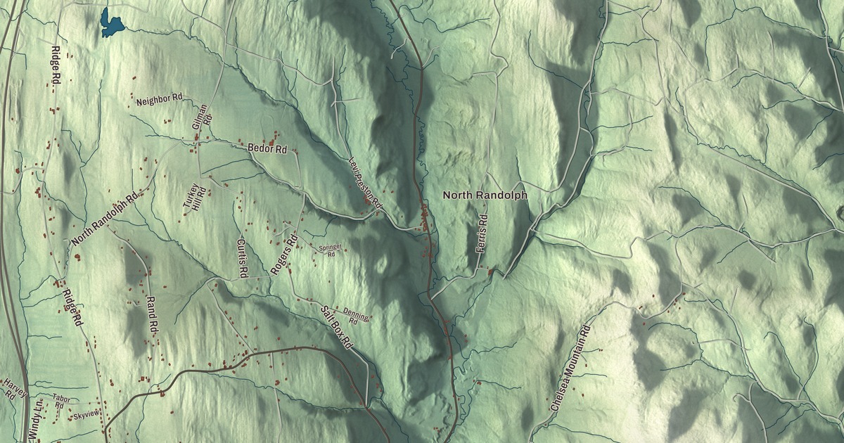
Randolph grew up as three villages, Randolph Center up on its ridge, East Randolph, and West Randolph, now the main village beside the Third Branch of the White River, where Route 12 serves as Main Street. This map prints South Main Street, Central Street, South Randolph Road, Thayer Brook Road, Tatro Hill Road and Windy Lane, with Randolph Center, East Randolph, South Randolph, North Randolph, Beanville and the Third Branch White River.
Randolph is a town in Orange County, Vermont.
KNOWOL made this map in 2026 from public survey data and gave it the look of an old county atlas, shading the hills from United States Geological Survey elevation data and drawing the roads and town line from the Census Bureau. The town covers 47.9 square miles, and 4,774 people lived here at the 2020 census, which makes it the largest town in Orange County. Click here to purchase a print of this map for your wall.
Middlesex becomes Randolph
Settlers arrived about 1778, while Vermont was still an independent state that New York claimed as its own. Vermont granted the town on November 2, 1780, when the settlers couldn’t find the original grantees under New York’s patents, and chartered it on June 29, 1781, to Aaron Storrs and 70 others under the name Middlesex. To help win recognition from the United States, the town was renamed for Edmund Randolph, one of the Founding Fathers. Randolph organized in 1783, and Asa Edgerton was its first representative in the legislature, in 1784. The soil was good, and by 1830, when 2,743 people lived here, twelve to thirteen thousand sheep grazed the pastures; the town was known for its butter, cheese and mutton.
Randolph Center and Justin Morgan’s horse
The town’s first center was founded in 1783 on the crest of a north and south ridge near the middle of town, and it became a stop on the stagecoach road between Boston and Montreal. The Randolph Center Historic District runs along Main Street, partly Route 66, past Federal and Greek Revival houses of wood and brick. An academy opened here in 1804, and the campus is now the Randolph campus of Vermont State University, formerly Vermont Technical College. Dudley Chase lived and practiced law in Randolph; he was speaker of the Vermont House, the first chairman of the United States Senate’s Judiciary Committee and an uncle of Chief Justice Salmon P. Chase, and his Randolph Center home still stands.
Justin Morgan, a farmer, horse breeder, singing teacher and composer of hymns, settled in Vermont by 1788 and served as Randolph’s town clerk. He took a stallion named Figure, along with two other horses, as payment of a debt, and Figure became the sire of the Morgan horse, a breed still known for its versatility and friendly nature. Morgan died in Randolph in 1798. He’s buried in the Randolph Center Cemetery, and his original gravestone is kept at the Randolph Historical Society Museum.
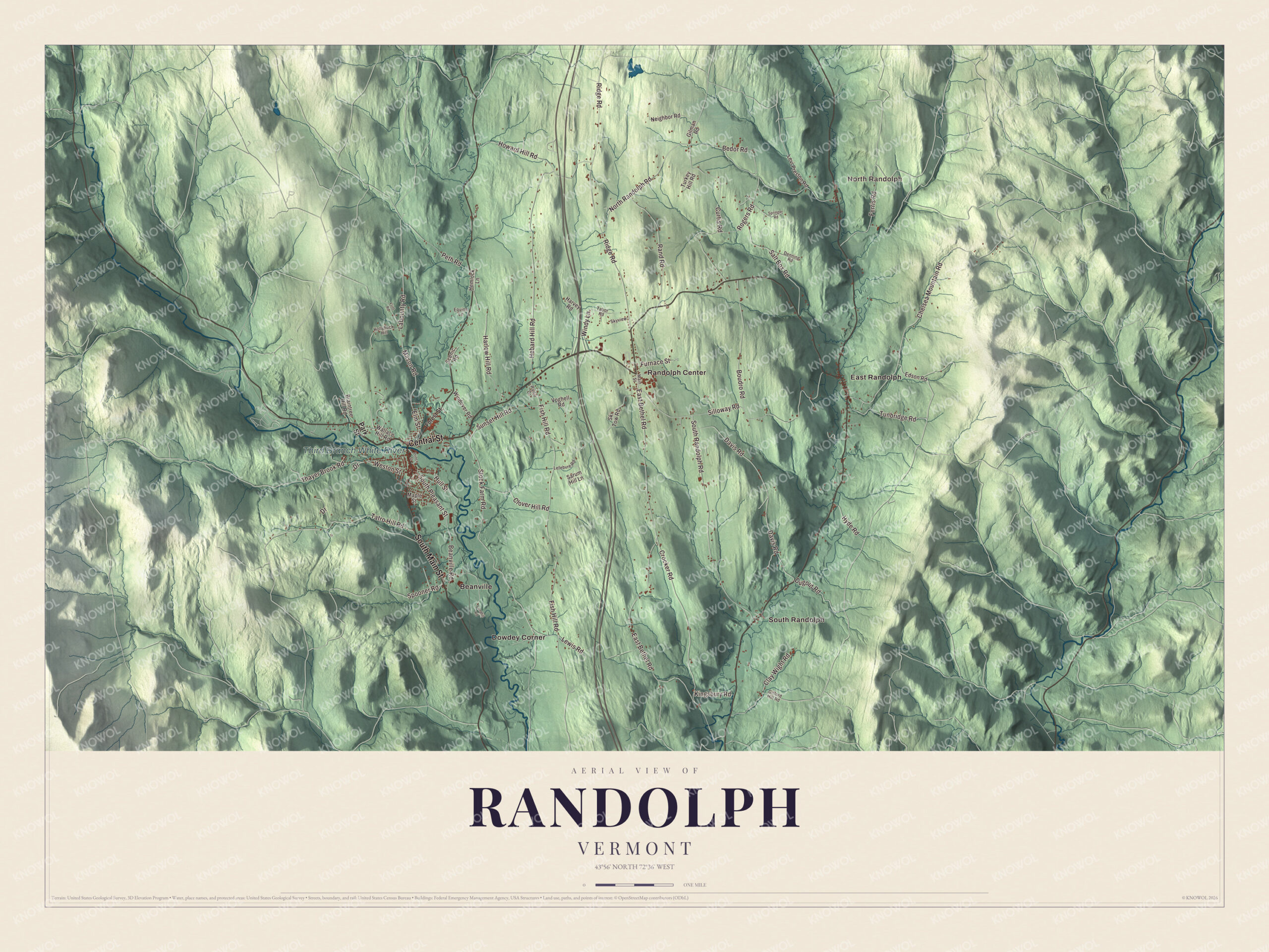
Click to explore a larger preview. The digital watermark does not appear on printed maps.
Names on this map
These names are printed on this map.
Places: North Randolph, Third Branch White River, Beanville, Dowdey Corner, East Randolph, Randolph Center and South Randolph.
Streets and roads: South Main Street, Central Street, Thayer Brook Road, South Randolph Road, Windy Lane, Tatro Hill Road, Stock Farm Road, Curtis Road, South Pleasant Street, East Bethel Road, North Randolph Road, Fish Hill Road.
More street names, A to Z
Beanville Road, Bedor Road, Boudro Road, Braintree Hill Road, Chelsea Mountain Road, Clay Wight Road, Clover Hill Road, Crocker Road, Davis Road, Denning Road, Drive, Dugout Road, Edson Road, Elm Street, Equine Lane, Ferris Road, Flint Road, Forest Street, Furnace Street, Gifford Hill Road, Gilman Road, Harlow Hill Road, Harvey Road, Hebard Hill Road, Hemlock Lane, Hollyhock Hill, Howard Hill Road, Hull Street, Hyde Road, Kingsbury Road, Labounty Road, Landfill Road, Lefebvre Road, Levi Preston Road, Lewis Road, Main Street, Maple Street, Mason Road, Neighbor Road, Park Street, Peth Road, Prince Street, Radio Drive, Rand Road, Ridge Road, Rogers Road, Salt Box Road, Sarum Hill Lane, Scenic Road, Silloway Road, Ski Tow Road, Skyview, Spooner Road, Springer Road, Sunset Hill Road, Tabor Road, Tunbridge Road, Turkey Hill Road, Voghell Road, Wallace Hill Road, Weston Street, Windover Road.
See it on a wall
The Randolph map as a framed print. Swipe for more.


The depot village
The Vermont Central Railroad reached Randolph in 1848, and the business of the town moved west to the depot, which grew into Randolph Village. The Depot Square Historic District holds brick commercial blocks of the 1870s and 1880s in the Second Empire and late Victorian styles, along with the station of 1877, where Amtrak’s Vermonter has stopped since 1996. Up Main Street, the Kimball Public Library of 1902 was a gift of Colonel Robert Kimball, a Randolph native who made his fortune as a New York banker, and next door the Chandler Music Hall opened in 1907, which its page says has one of the best-preserved period theatrical interiors in northern New England. In 1921 and 1922 Randolph was the setting for two silent films, The Offenders and Insinuation, and townspeople filled some of the roles.
The music hall was paid for by Albert Brown Chandler, born in Randolph in 1840, who learned telegraphy as a teenager in town and during the Civil War worked in the War Department as one of the confidential telegraphers for President Abraham Lincoln, developing ciphers for secret messages. He later became president of the Postal Telegraph Company. His summer estate, Mari-Castle, built in 1886 at 41-43 South Main Street and named for his wife, Marilla, was the town’s finest summer house of its day. The children’s author Jean Merrill, who wrote The Pushcart War, made her home in Randolph.
Covered bridges on the Second Branch
On the Second Branch of the White River, near Route 14, stand three covered bridges. The Braley and Gifford bridges are the only two in Vermont whose king post trusses reach just half the height of the bridge, because both were probably built uncovered with their trusses boxed in planks. The Kingsbury Covered Bridge of 1904, in the southern end of town, is the last documented covered bridge built in Vermont in the historic period, and no new covered bridges went up in the state again until the 1960s.
On the map, start with North Randolph and Beanville, follow South Main Street, Central Street, Thayer Brook Road, South Randolph Road, Windy Lane and Tatro Hill Road across town, and look toward East Randolph, Randolph Center and South Randolph. The Third Branch White River is printed as well. Randolph dates to 1781.
This map of Randolph is made for everyone who calls Randolph home, and it shows the town as it looks today, from Randolph Center on its ridge to the Third Branch. Hang it in an office, library or den, or use it to teach children the geography and history of their town. It’s printed on museum quality archival paper. Zoom in on the preview above to explore the details, then click here to get your copy of the Randolph, Vermont map.

Sources
- Randolph, Vermont, Wikipedia
- Town histories and representatives, R towns, Vermont Legislature
- Randolph (CDP), Vermont, Wikipedia
- Randolph Center Historic District, Wikipedia
- Vermont Route 66, Wikipedia
- Dudley Chase, Wikipedia
- Justin Morgan, Wikipedia
- Depot Square Historic District (Randolph, Vermont), Wikipedia
- Randolph station (Vermont), Wikipedia
- Kimball Public Library, Wikipedia
- Chandler Music Hall, Wikipedia
- Albert Brown Chandler, Wikipedia
- Mari-Castle, Wikipedia
- Jean Merrill, Wikipedia
- Braley Covered Bridge, Wikipedia
- Gifford Covered Bridge, Wikipedia
- Kingsbury Covered Bridge, Wikipedia