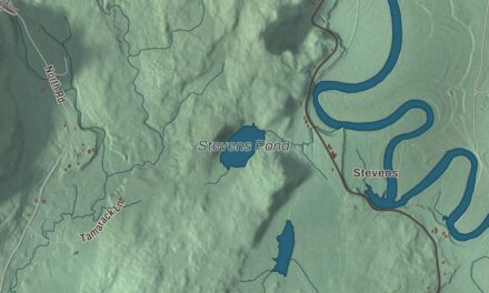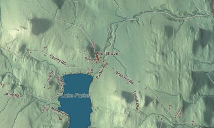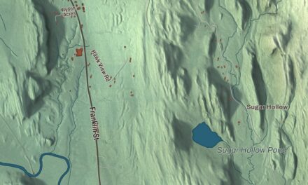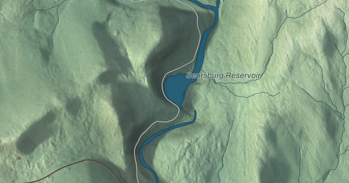
Searsburg is a small Green Mountain town in southeastern Bennington County, crossed by Route 9, the Molly Stark Trail, and drained by the Deerfield River. This map prints Somerset Road, Sleepy Hollow Road, Putnam Road, Bishop Road, Lind Lane and Hager Lane, with the Searsburg Reservoir, Billings Pond and the Deerfield River.
Searsburg is a town in Bennington County, Vermont.
KNOWOL made this map in 2026 from public survey data and gave it the look of an old county atlas, shading the hills from United States Geological Survey elevation data and drawing the roads and town line from the Census Bureau. The town covers 21.6 square miles, and 126 people lived here at the 2020 census. Click here to purchase a print of this map for your wall.
A mountain town on the Molly Stark Trail
The Vermont legislature granted Searsburg on February 23, 1781, but the town didn’t organize until March 18, 1833, when Luther Park became its first representative. It borders Windham County on the north and east. Route 9 crosses it on the way between Bennington, 15 miles west, and Brattleboro, 24 miles east. The highway is known along its whole length as the Molly Stark Trail, after Molly Stark, wife of General John Stark of the Revolutionary War. In Searsburg it meets the northern end of Route 8 and comes down off the main range of the Green Mountains to run beside the Deerfield River, a tributary of the Connecticut.
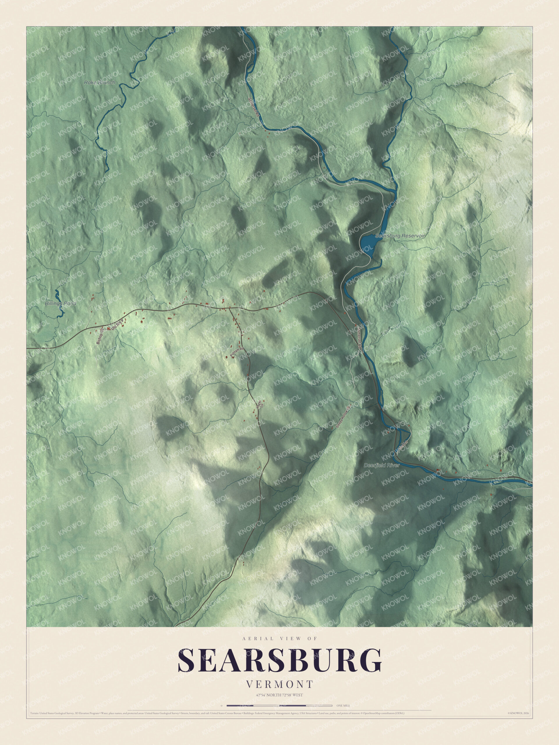
Click to explore a larger preview. The digital watermark does not appear on printed maps.
Names on this map
These names are printed on this map.
Places: Searsburg Reservoir, Billings Pond, Deerfield River and Rake Branch.
Streets and roads: Somerset Road, Lind Lane, Bishop Road, Old Route 9, Sleepy Hollow Road, Putnam Road and Hager Lane.
See it on a wall
The Searsburg map as a framed print. Swipe for more.


Water and wind
The Searsburg station and dam are among the hydroelectric stations and dams along the river that Great River Hydro bought from TransCanada in 2017, along with Somerset, Harriman, Sherman and the numbered Deerfield stations. On a ridgeline in town, Green Mountain Power owns a six-megawatt wind farm of 11 towers, which the town’s officers have supported; it also serves as an education and research site for wind power in the cold climate of the Northeast. A larger project of 15 turbines, with 30 megawatts, was proposed for Forest Service land in Searsburg and Readsboro.
On the map, start with Somerset Road, then follow Lind Lane, Bishop Road, Sleepy Hollow Road, Putnam Road and Hager Lane across town. The Searsburg Reservoir, Billings Pond and the Deerfield River are printed too. Searsburg dates to 1781.
This map of Searsburg is made for everyone who calls Searsburg home, and it shows the town as it looks today, from Somerset Road and the Searsburg Reservoir to Billings Pond and the Deerfield River. Hang it in an office, library or den, or use it to teach children the geography and history of their town. It’s printed on museum quality archival paper. Zoom in on the preview above to explore the details, then click here to get your copy of the Searsburg, Vermont map.

Sources