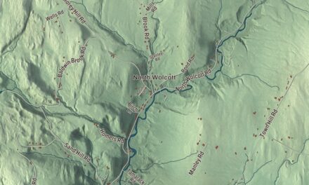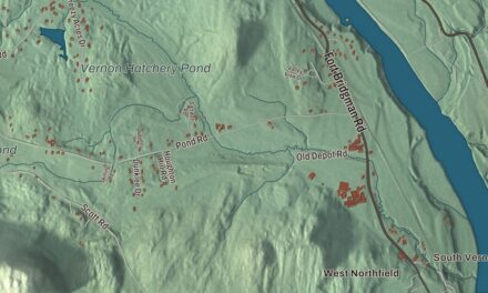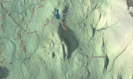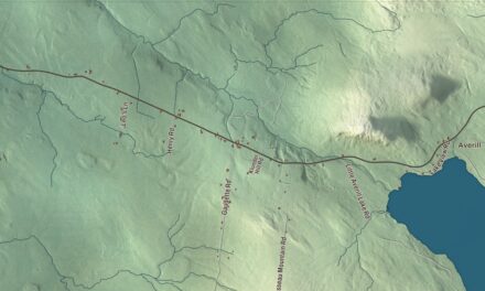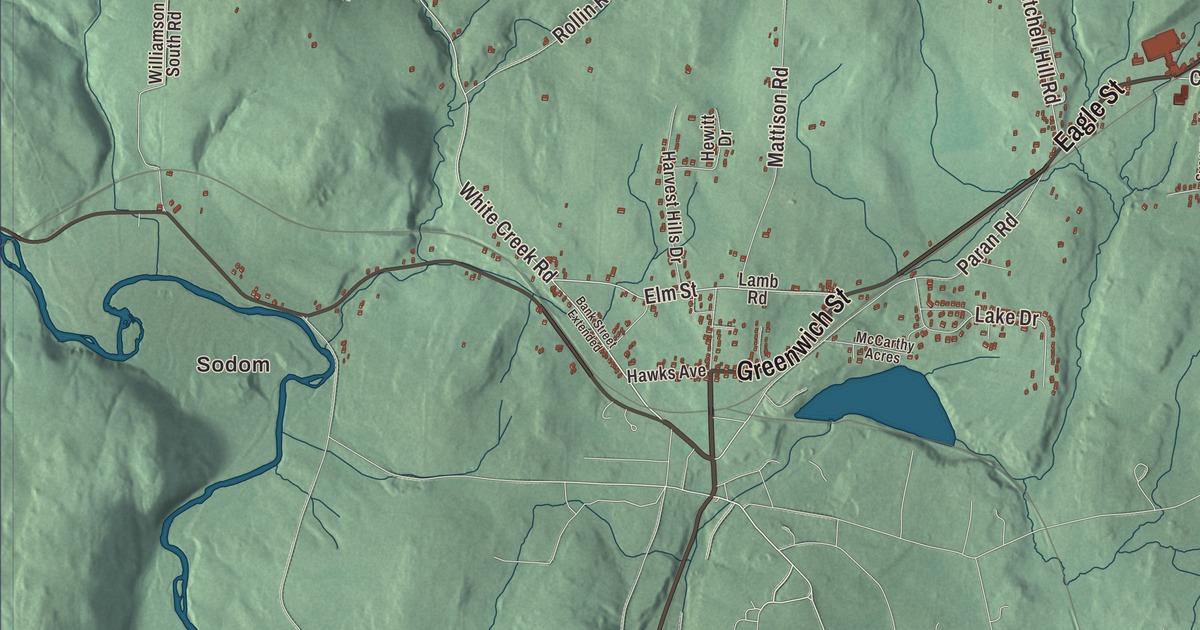
Shaftsbury lies along Vermont’s western border in Bennington County, between Arlington to the north and Bennington to the south, with the old Route 7, now Route 7A, running through its villages. This map prints South Shaftsbury, Shaftsbury Center, Hidden Valley, Sodom and Bouplon Corner, with Eagle Street, Elm Street, White Creek Road and Lake Shaftsbury.
Shaftsbury is a town in Bennington County, Vermont.
KNOWOL made this map in 2026 from public survey data and gave it the look of an old county atlas, shading the hills from United States Geological Survey elevation data and drawing the roads and town line from the Census Bureau. The town covers 43.2 square miles, and 3,598 people lived here at the 2020 census. Click here to purchase a print of this map for your wall.
Shaftsbury Center
Benning Wentworth, New Hampshire’s governor, chartered Shaftsbury on August 20, 1761, and named it for the Earl of Shaftesbury. John Burnam and Gideon Olin represented the town in the legislature in 1778. Shaftsbury Center, strung for about a mile along Route 7A near the middle of town on the eastern flank of the Taconic Range, was the town’s civic center through the middle of the 1800s, with its first church and town meetinghouse. Jonas Galusha’s inn there was a meeting place during the struggle over Vermont’s independence and the Revolutionary War. Galusha fought at Hubbardton and Bennington, served as Bennington County’s sheriff in the 1780s and became governor of Vermont, and his homestead at 3871 Route 7A, begun in 1783 and enlarged in 1805, still has hinges and latches he forged himself. It’s now home to the Shaftsbury Historical Society.
When the railroad came through in 1850, it bypassed Shaftsbury Center, and business and town life moved to South Shaftsbury, where a new town hall went up in 1880. Most of Shaftsbury Center is now the Center Shaftsbury Historic District. In June 1843, people escaping slavery hid at a Shaftsbury farm, the first recorded instance of the Underground Railroad in Vermont.
Robert Frost’s farms
Robert Frost bought the Peleg Cole farm, known as the Half Stone House, in 1920, hoping to become an apple farmer; he wrote of moving to a “stone cottage on a hill” and planting a thousand apple trees. The stone house, built in 1769 of local stone and timber, was his home until 1929. There he wrote the poems of New Hampshire, among them “Stopping by Woods on a Snowy Evening,” and he was living there when he won his first Pulitzer Prize in 1924. Restored by the Friends of Robert Frost, it opened as a museum on Route 7A in South Shaftsbury, and Bennington College has owned it since 2017.
In 1929 Frost bought a second farm, The Gully, on Buck Hill Road, a Cape from about 1790 on 153 acres, and it was his main home until 1938. He used two small buildings there as writing studios and won the Pulitzer Prize for Poetry again in 1931 and 1937. The Gully is privately owned today.
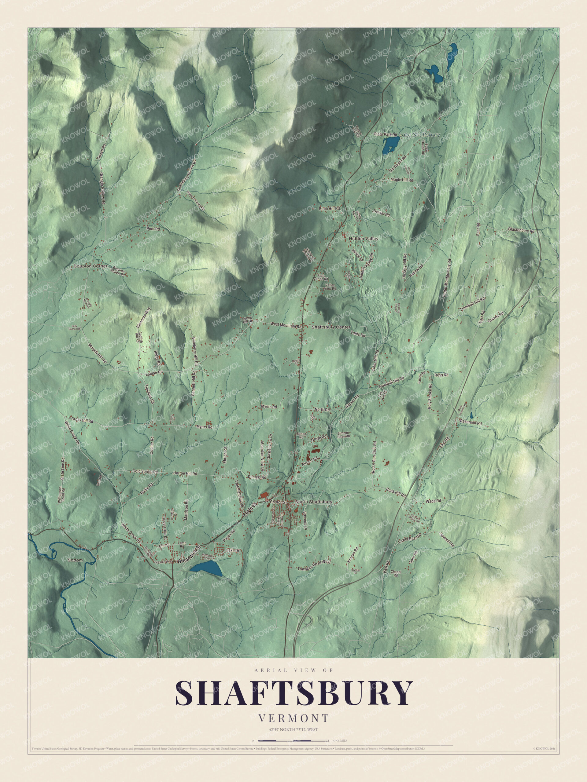
Click to explore a larger preview. The digital watermark does not appear on printed maps.
Names on this map
These names are printed on this map.
Places: Sodom, Bouplon Corner, South Shaftsbury, Hidden Valley, Lake Shaftsbury and Shaftsbury Center.
Streets and roads: Greenwich Street, Eagle Street, Laclair Road, White Creek Road, Tinkham Road, Elm Street, Eleanors Way, Murphy Hill Road, West Mountain Road, Cross Hill Road, Church Street, Twitchell Hill Road.
More street names, A to Z
Airport Road, Avondale Meadows, Bahan Road, Bank Street Extended, Bennett Hill Road, Birch Hill Road, Blueberry Hill Road, Bouplon Hollow Road, Buck Hill Road, Cedar Circle, Chapel Road, Cider Mill Road, Clement Green Road, Cleveland Avenue, Coach Road, Cobble Hill, Codfish Hill Road, Cold Spring Road, Couller Road, Daniels Road, Dexter Road, Dwyers Camp Road, East Road, Ehrich Road, Farrell Road, Fox Hill Road, Fran Zando Road, Furnace Brook Road, Glastenbury Road, Glastenview Drive, Granger Hollow Road, Graves Road, Grove Road, Harvest Hills Drive, Hawks Avenue, Hewitt Drive, Hickory Hill Road, Hidden Valley Road, Highland Woods Drive, Hollow Road, Holy Smoke Road, Horton Hill Road, Ipan Road, Jack Cross Road, Krause Road, Lake Drive, Lamb Road, Lower East Road, Maple Hill Road, Mattison Road, McCarthy Acres, Middle Road, Mountain View Drive, Myers Road, North Road, Old Depot Road, Paran Road, Paulin Road, Pent Road, Potter Montgomery Road, Reddy Road, Reservoir Road, Ridge Road, Rod & Gun Club Road, Rollin Road, Roys Road, Sally Gannon Road, Sawmill Road, Shaftsbury Hollow Road, Simeon Dean Road, Spring Hill Drive, Spur Road, State Line Road, State Park Road, Stevens Lane, Sugar House Road, Sycamore Lane, Timber Trail Road, Townline Road, Townline Road West, Trumbull Hill Road, Tunic Road, Valley View Road, Wade Road, Waite Cemetery Road, White Farm Lane, Williamson South Road.
See it on a wall
The Shaftsbury map as a framed print. Swipe for more.


Around the map
South Shaftsbury, on the town’s southern line, is the largest settlement, where Route 7A meets Route 67 heading west to North Bennington and the New York line. Just west of State Line Road, the brick David Mathews House of about 1800 straddles the state line on Route 67; it later served as a tavern, and it was said that a New York judge couldn’t convict a defendant sitting on the Vermont side. Lavius Fillmore, a master builder of the region, designed the Munro-Hawkins House of 1807 on Route 7A in southern Shaftsbury for Joseph Munro, a wealthy farmer.
Jane Stickle was born in Shaftsbury in 1817 and lived here all her married life. In 1863 she finished a quilt of 5,602 pieces in 169 five-inch blocks, most of them her own designs, and stitched into a corner “In War Time 1863.” It won a $2 prize at the county fair that fall, and now, as the “Dear Jane” quilt, it belongs to the Bennington Museum, which shows it for short periods each autumn. Lake Shaftsbury State Park, an 84-acre park around Lake Shaftsbury in the northern part of town, became a state park in 1974, with a beach and group camping. Most of the town drains south to the Walloomsac River, while the northeast corner, with Lake Shaftsbury, drains north to the Batten Kill.
On the map, start with Sodom and Bouplon Corner, then follow Greenwich Street, Eagle Street, Laclair Road, White Creek Road, Tinkham Road and Elm Street across town. Then look outward toward South Shaftsbury, Hidden Valley and Shaftsbury Center. Lake Shaftsbury is printed too. Shaftsbury dates to 1761.
This map of Shaftsbury is made for everyone who calls Shaftsbury home, and it shows the town as it looks today, from South Shaftsbury and Shaftsbury Center to Lake Shaftsbury. Hang it in an office, library or den, or use it to teach children the geography and history of their town. It’s printed on museum quality archival paper. Zoom in on the preview above to explore the details, then click here to get your copy of the Shaftsbury, Vermont map.

Sources
- Shaftsbury, Vermont, Wikipedia
- Town histories and representatives, S towns, Vermont Legislature
- Shaftsbury Center, Vermont, Wikipedia
- Gov. Jonas Galusha Homestead, Wikipedia
- Robert Frost Stone House Museum, Wikipedia
- Robert Frost Farm (South Shaftsbury, Vermont), Wikipedia
- South Shaftsbury, Vermont, Wikipedia
- David Mathews House, Wikipedia
- Munro-Hawkins House, Wikipedia
- Jane Stickle, Wikipedia
- Lake Shaftsbury State Park, Wikipedia