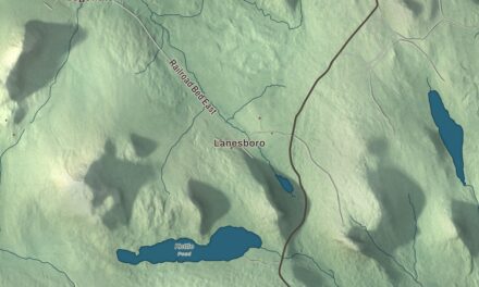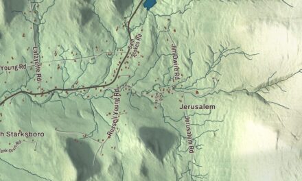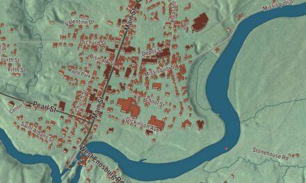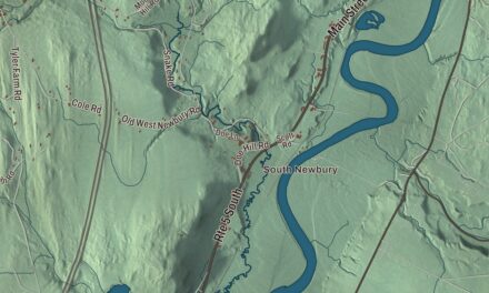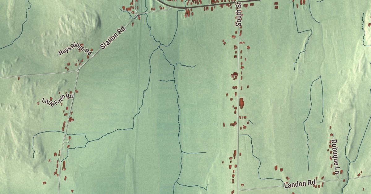
South Hero takes up the southern half of Grand Isle, the largest island in Lake Champlain, and U.S. Route 2 runs through its village on its way north to the town of Grand Isle. This map prints Ferry Road, Whipple Road, West Shore Road, South Street, Landon Road and Station Road.
South Hero is a town in Grand Isle County, Vermont.
KNOWOL made this map in 2026 from public survey data and gave it the look of an old county atlas, shading the hills from United States Geological Survey elevation data and drawing the roads and town line from the Census Bureau. The town covers 47.5 square miles, more than two thirds of it water, and 1,674 people lived here at the 2020 census. Click here to purchase a print of this map for your wall.
Two Heroes
Vermont granted the islands on October 27, 1779, as Two Heroes, and on October 25, 1788, the legislature divided them into North Hero and South Hero, still sharing one representative at first. South Hero organized on March 28, 1789, and it belonged to Chittenden County until Grand Isle County organized in 1805. Ebenezer Allen, one of the original grantees, was the first settler. He’d served as a lieutenant in the Green Mountain Boys at the capture of Fort Ticonderoga and helped found Poultney, and tradition says he arrived on the island on August 25, 1783, though he may have come as early as 1779. In 1787 he enlarged his house and kept a public house there, and he sat in the legislature from 1788 to 1792.
Asa Lyon, a Dartmouth graduate and minister, came to South Hero in 1794 and studied law. He organized the church here and served as its first pastor from 1802 to 1840, and he also served in Congress from 1815 to 1817. Jewett W. Adams, born in South Hero in 1835, went west in the California Gold Rush and became the fourth governor of Nevada, and Sarah M. Dawson Merrill, born here in 1843, became an educator known especially for her work in the education of the blind, in Boston, London and Glasgow.
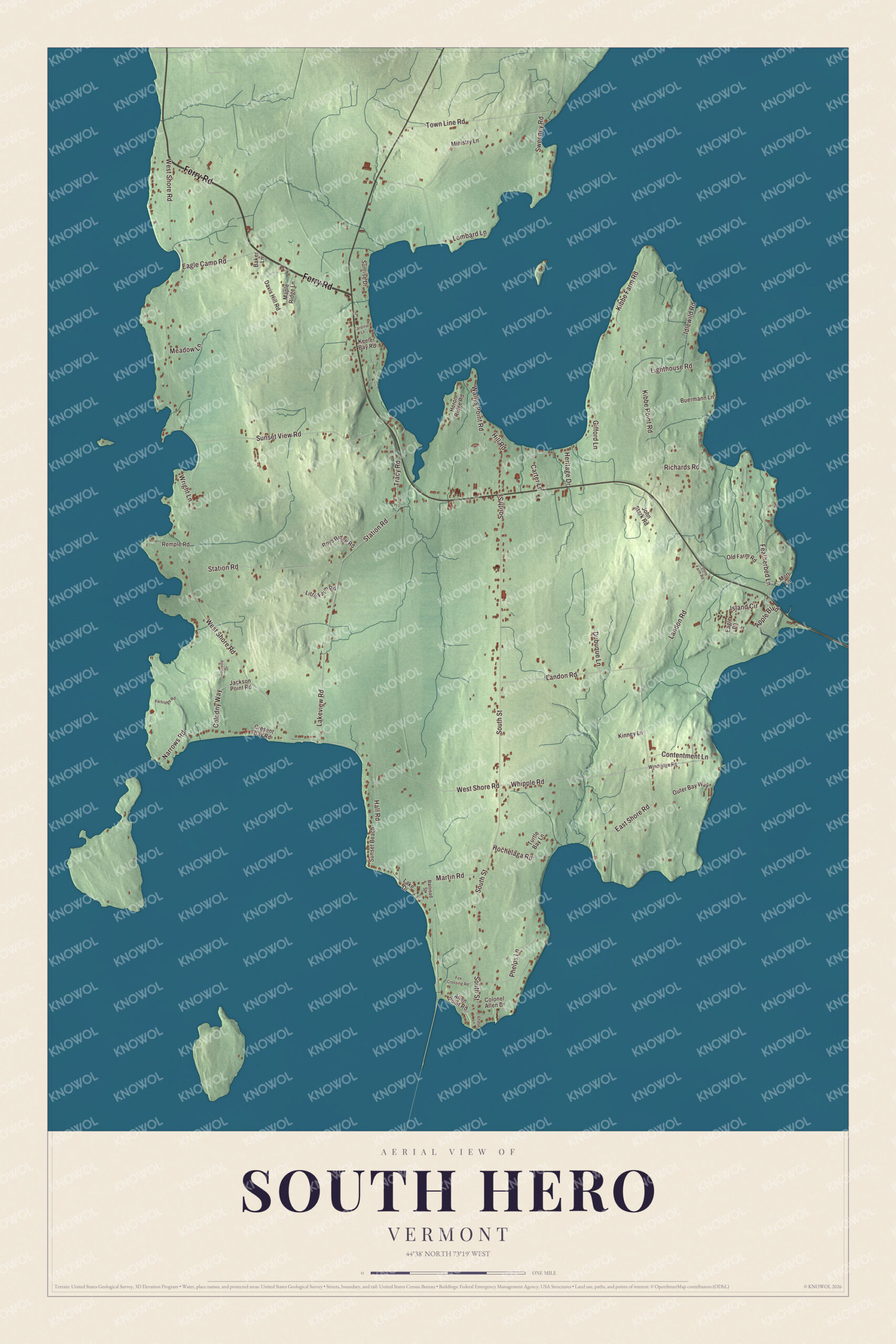
Click to explore a larger preview. The digital watermark does not appear on printed maps.
Names on this map
These names are printed on this map.
Streets and roads: Ferry Road, Whipple Road, West Shore Road, South Street, Landon Road, Station Road, East Shore Road, Kibbe Point Road, Sunset View Road, Lakeview Road, Lombard Lane, Featherbed Lane.
More street names, A to Z
Allen Point Road, Apple Boulevard, Baker Lane, Buermann Lane, Cardinal Lane, Carter Lane, Chase Lane, Colodny Way, Colonel Allen Drive, Contentment Lane, Cresent Bay Road, Davis Hill Road, Dubuque Lane, Eagle Camp Road, Eagle Lane, Fox Crossing Road, Gifford Lane, Hall Road, Heritage Drive, Heron Ridge Road, Hill Road, Hochelaga Road, Idlewild Road, Island Circle, Jackson Point Road, John Stark Road, Keeler Bay Road, Kibbe Farm Road, Kinney Lane, Lake Drive, Lighthouse Road, Little Farm Road, Maple Ridge Lane, Martin Road, Meadow Lane, Ministry Lane, Mott Lane, Narrows Road, Old Farm Road, Outer Bay Way, Partridge Road, Peters Farm Road, Phelps Lane, Railroad Street, Remple Road, Richards Road, Roys Ridge Road, Sunrise Drive, Sunset Beach, Sweeney Road, Tourville Drive, Town Line Road, Tracy Road, Turtle Bay Lane, Wallys Point Road, Windridge Road, Wright Lane.
See it on a wall
The South Hero map as a framed print. Swipe for more.


The village and the shore
The unincorporated village of South Hero lies in the center of town on Route 2. At its main crossroads, the corner of South Street and Route 2, stands the South Hero Inn, built in 1829 of square-cut hammered stone with Federal and Greek Revival touches. It sat on a major travel route between Burlington and Canada and took in travelers until the 1970s, and it joined the National Register of Historic Places in 1975. To the east, Route 2 leaves the island across the lake over the sandbar bridge into a corner of Milton. The town also takes in several smaller islands, Providence Island and Stave Island among them, and the Island Line Trail, which follows the route of the Rutland Railroad’s Island Line of 1901, runs out over the causeway from Colchester to the Allen Point Access Area in South Hero, with a small summer ferry across a 200-foot gap.
Apples and dairy remain the mainstay industries, with orchards and dairy farms all over town, and older farm families now work beside newer organic growers. Folsom Elementary, the town’s kindergarten through eighth grade school, also houses the community center, and the town’s yearly marathon and half marathon start and finish in front of it. South Hero hosts the Fourth of July parade for all of Grand Isle County.
On the map, start with Ferry Road, then follow Whipple Road, West Shore Road, South Street, Landon Road and Station Road across town. All six of those names are printed on the artwork. South Hero dates to 1779.
This map of South Hero is made for everyone who calls South Hero home, and it shows the town as it looks today, from South Street and Ferry Road to West Shore Road and Station Road. Hang it in an office, library or den, or use it to teach children the geography and history of their town. It’s printed on museum quality archival paper. Zoom in on the preview above to explore the details, then click here to get your copy of the South Hero, Vermont map.

Sources
- South Hero, Vermont, Wikipedia
- Town histories and representatives, S towns, Vermont Legislature
- Grand Isle (island), Wikipedia
- Ebenezer Allen (Vermont politician), Wikipedia
- Asa Lyon, Wikipedia
- Jewett W. Adams, Wikipedia
- Sarah M. Dawson Merrill, Wikipedia
- South Hero Inn, Wikipedia
- Island Line Trail, Wikipedia