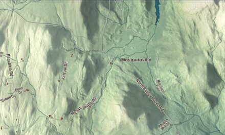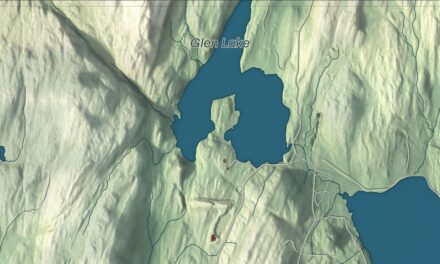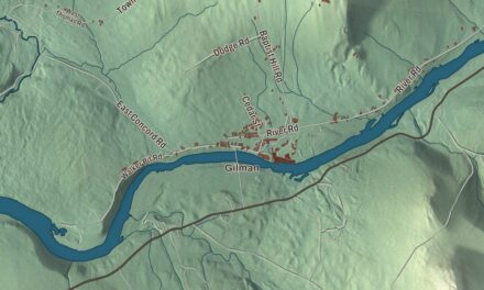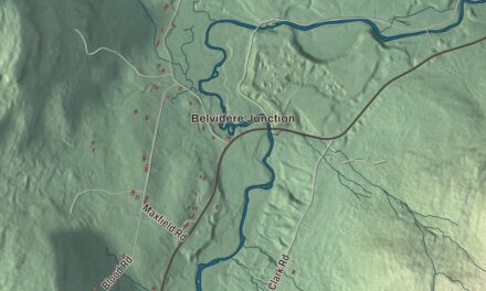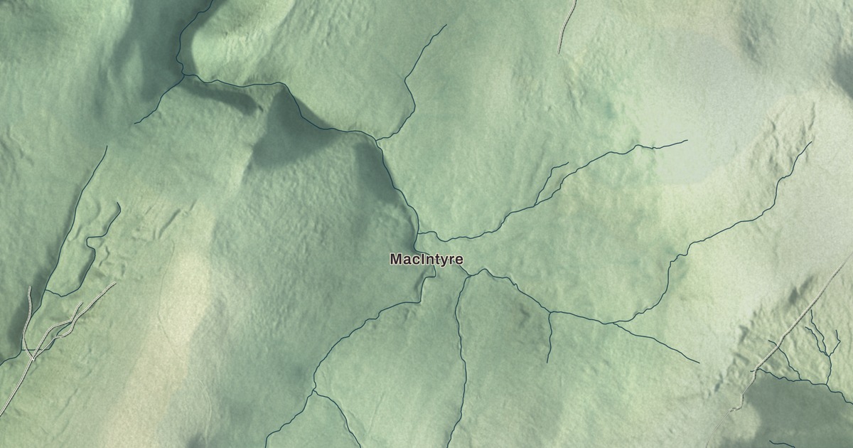
Sunderland reaches from the Valley of Vermont along its western edge up onto the plateau of the Green Mountains. This map prints MacIntyre, Chiselville, Kansas and East Kansas, with Kelley Stand Road, Sunderland Hill Road, North Road, Cobbs Road, Kansas Road and Branch Pond Access Road, and Bourn Pond, Branch Pond and Beebe Pond.
Sunderland is a town in Bennington County, Vermont.
KNOWOL made this map in 2026 from public survey data and gave it the look of an old county atlas, shading the hills from United States Geological Survey elevation data and drawing the roads and town line from the Census Bureau. 1,056 people lived in Sunderland at the 2020 census. Click here to purchase a print of this map for your wall.
Between the valley and the plateau
New Hampshire granted Sunderland on July 29, 1761, and the town organized in 1769. Joseph Bradley was its first representative in the legislature, in 1778. It sits halfway down the eastern side of Bennington County, between Manchester to the north, Arlington to the west, Glastenbury to the south and Stratton to the east. The Valley of Vermont runs along its western edge, where U.S. Route 7, Route 7A and the short Route 313 cross the town, and the rest of Sunderland is the plateau and western escarpment of the Green Mountains. Most of the town drains west to the Batten Kill, a tributary of the Hudson, while the southeast corner drains by way of the Glastenbury River to the Deerfield River and the Connecticut. The Long Trail and the Appalachian Trail cross that southeastern part of town near the crest of the mountains.
Kelley Stand Road is an unpaved road across the high plateau between East Arlington and Stratton, beside the Lye Brook Wilderness of the Green Mountain National Forest. In the 1800s it served many logging camps and early settlements, and it takes its name from the Kelley Stand, an old-time tavern that was still open along the way around 1913. Its western stretch isn’t plowed in winter. The Chiselville Covered Bridge, built in 1870 by Daniel Oatman, crosses the Roaring Branch of the Batten Kill in Sunderland, and it bears a sign reading “One Dollar Fine for Driving Faster Than a Walk on This Bridge.” The bridge appears in the 1987 film Baby Boom.
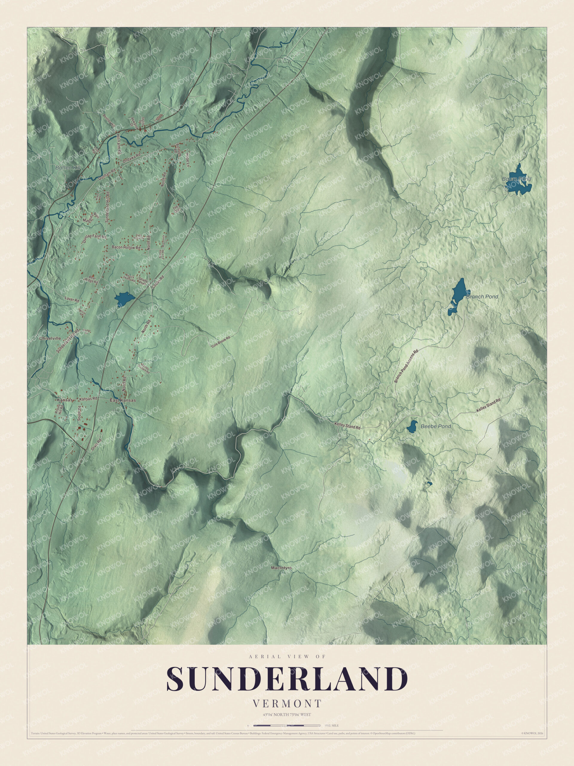
Click to explore a larger preview. The digital watermark does not appear on printed maps.
Names on this map
These names are printed on this map.
Places: MacIntyre, Chiselville, Kansas, East Kansas, Bourn Pond, Branch Pond, Beebe Pond and Batten Kill.
Streets and roads: Kelley Stand Road, North Road, Cobbs Road, Kansas Road, Sunderland Hill Road, Branch Pond Access Road, Dunham Road, South Road, Dunlap Farm Road, Bacon Hollow Road, Maggies Run, Hill Farm Road.
More street names, A to Z
Akwanok Drive, Barney Orchard Road, Bear Ridge Road, Bentley Hill, Borough Road, Cole Brook Road, Flynn Hollow Road, Hayden Road, Hope Lane, Kenney Farm Road, Kesick Swamp Road, Lathrop Lane, Laver Road, Lost Road, McCormick Lane, McKee Road, Ondawa Road, Orvis Road, Prouty Hill Road, Shady Pnes, Skyline Drive, The Glen, Wilcox Road.
See it on a wall
The Sunderland map as a framed print. Swipe for more.


Three lives that began or ended here
Ethan Allen built a house beside the Batten Kill in Sunderland, and his daughter Frances, called Fanny, was born there on November 13, 1784. She later entered the Hôtel-Dieu in Montreal and became the first New England woman to become a Catholic nun. Jeremiah Evarts was born in Sunderland in 1781, graduated from Yale in 1802 and became a missionary leader, an activist for the rights of American Indians and a leading opponent of the Indian Removal Act of 1830.
The poet Lucy Terry Prince spent her last years in Sunderland. Born in Africa around 1733 and enslaved as a child, she gained her freedom when Abijah Prince, a free Black man, bought it before their marriage in 1756. Her ballad “Bars Fight,” composed in 1746 and passed down by memory until it was published in 1854, is considered the oldest known work of literature by an African American. The Princes had moved to Sunderland by 1803, and in 1806, after months of petitioning, she persuaded the town’s selectmen to buy more land for her family’s use. She died in 1821.
On the map, start with MacIntyre, then follow Kelley Stand Road, North Road, Cobbs Road, Kansas Road, Sunderland Hill Road and Branch Pond Access Road across town. Then look outward toward Chiselville, Kansas and East Kansas. Bourn Pond, Branch Pond and Beebe Pond are printed too. Sunderland dates to 1761.
This map of Sunderland is made for everyone who calls Sunderland home, and it shows the town as it looks today, from Chiselville and Kelley Stand Road to East Kansas and Branch Pond. Hang it in an office, library or den, or use it to teach children the geography and history of their town. It’s printed on museum quality archival paper. Zoom in on the preview above to explore the details, then click here to get your copy of the Sunderland, Vermont map.

Sources