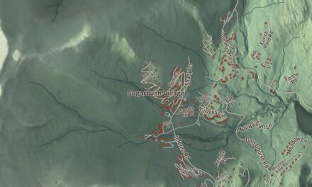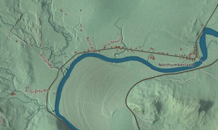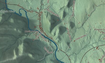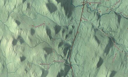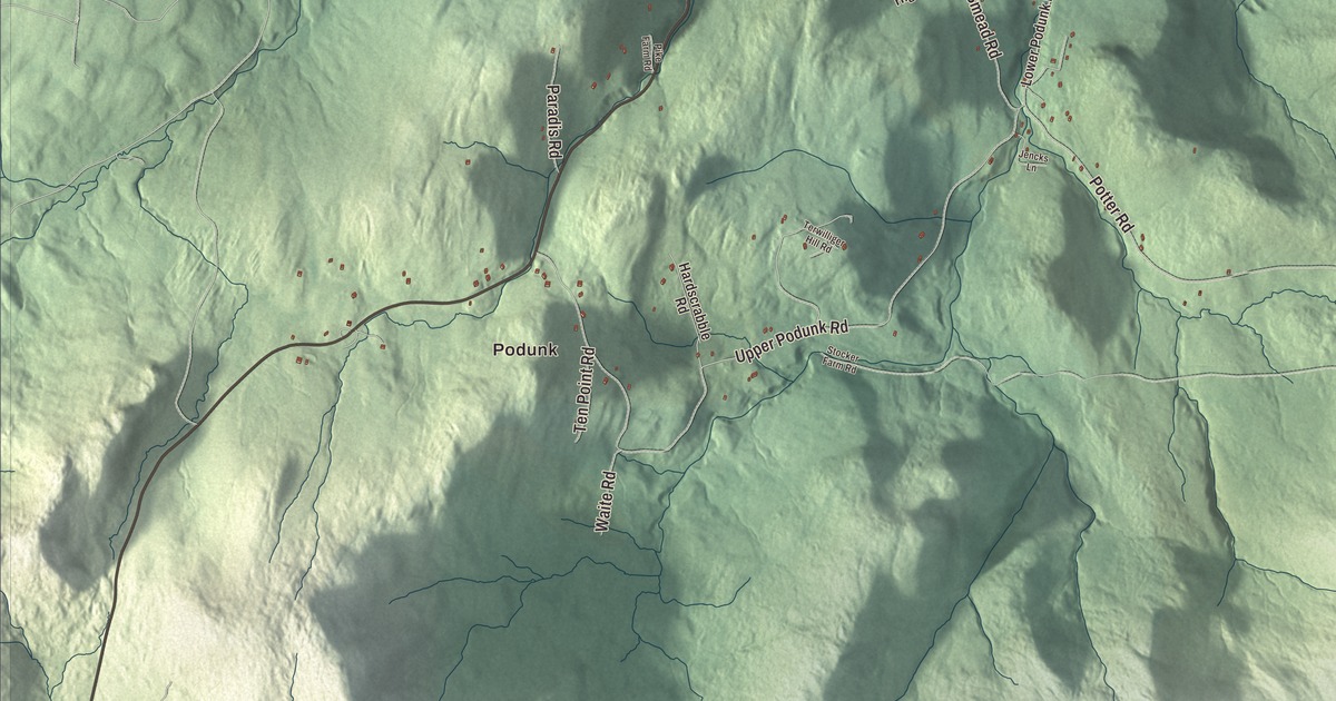
Wardsboro is set in the Green Mountains, drained by Wardsboro Brook and crossed by Route 100, and it includes four villages: Wardsboro, Wardsboro Center, West Wardsboro and South Wardsboro. This map prints Podunk, West Wardsboro, South Wardsboro and Wardsboro Center, along with Potter Road, Arlington Straton Road, Newfane Road, Gilfeather Road, East Hill Road and South Wardsboro Road.
Wardsboro is a town in Windham County, Vermont.
KNOWOL made this map in 2026 from public survey data and gave it the look of an old county atlas, shading the mountains from United States Geological Survey elevation data and drawing the roads and town line from the Census Bureau. The town covers 29.3 square miles, all of it land, and 869 people lived here at the 2020 census. Click here to purchase a print of this map for your wall.
Wardsborough to Wardsboro
Samuel Davis and his wife came up from Milford, Massachusetts, and settled here around 1779. On November 7, 1780, Vermont granted the town to William Ward of Newfane and 62 others, and it was named Wardsborough for him. The town was organized on March 14, 1786. In 1788 it was split into north and south districts, and the south district later became the separate town of Dover. The ground is uneven and rocky in places, but farmers worked it into good land, and mills went up along the brook, which runs to the West River. In 1859 the town had three gristmills, six sawmills, a tannery and a factory making rawhide whips.
During the Civil War, Wardsborough Center was called Unionville because of its strong Federal sentiment. In the 1880s Jebediah Estabrook’s tub, bucket and pail factory at Wardsborough Center was the area’s main employer. Then in 1894 the Post Office dropped the “ugh” from town names ending in “borough,” and Wardsborough has been Wardsboro ever since.
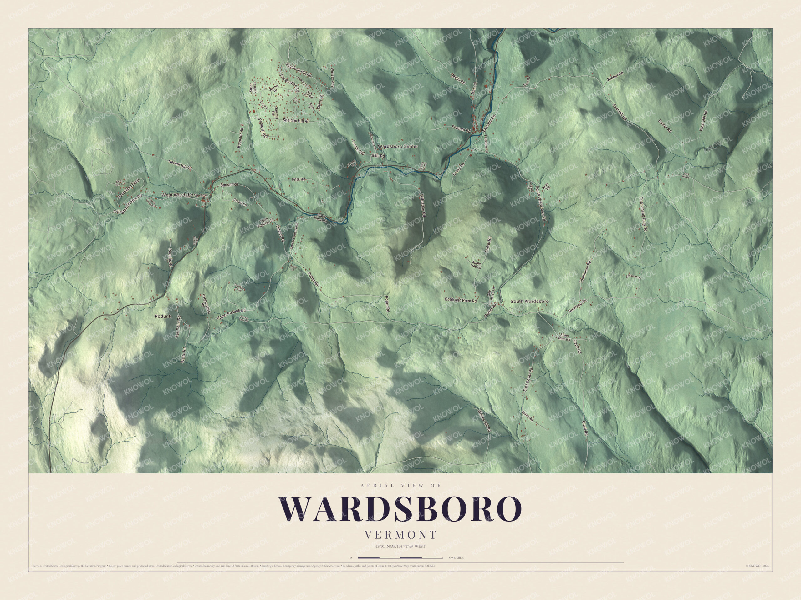
Click to explore a larger preview. The digital watermark does not appear on printed maps.
Names on this map
These names are printed on this map.
Places: Podunk, West Wardsboro, South Wardsboro and Wardsboro Center.
Streets and roads: Potter Road, Arlington Straton Road, Newfane Road, Gilfeather Road, East Hill Road, South Wardsboro Road, Townshend Dam Road, Upper Podunk Road, East Dover Road, Sheldon Hill Road, Newell Hill Road, Smead Road.
More street names, A to Z
Alzac Lane, Apple Tree Lane, Bills Road, Blackmer Lane, Black Piece Road, Boardman Loop, Brown Hill Road, Buck Hill Road, Cobb and Reed Road, Country Lane, Cross Road, Dump Road, Fairview Road, Fay Boyden Road, Finkel Road, Fitts Road, Forunto Road, Gault Road, Hardscrabble Road, Hemlock Hill Road, Hi Hopes Road, Howard Road, Hunt Road, Jencks Lane, Kaiser Road, Karen Drive, Kent Road, Keppner Road, Kerri Ann Lane, Kidder Road, Lorchs Hill, Lower Podunk Road, Main Street, Maple Drive, Melbourne Road, Melis Road, Oak Hill Road, One Horse Lane, Pams Hill Road, Paradis Road, Pike Farm Road, Rast Road, Sawmill Road, Scandia Village Road, Shady Lane, Silver Lane, Silver Mine Road, Stocker Farm Road, Susan Lynn Lane, Ten Point Road, Terwilliger Hill Road, Tomlinson Road, Town Highway 35, Waite Road, Wenzez Way, West Hill Road, White Birch Lane, Whites Hill Road.
See it on a wall
The Wardsboro map as a framed print. Swipe for more.


The state vegetable and two big days
In April 2016 the Vermont Legislature made the Gilfeather Turnip the official state vegetable. The unusual hybrid dates to the early 1900s and is credited to John Gilfeather of the Gilfeather Farm in Wardsboro. The town celebrates it at the Gilfeather Turnip Festival at the end of October, and its other big day is the Fourth of July Street Fair and Parade, held on the Fourth no matter what day of the week it falls on. Much of the town lies in the Green Mountain National Forest, about six miles north of the Mount Snow ski area, and snowmobile trails run through it.
Mary Eddy Kidder, born and educated in Wardsboro, taught at the Wardsboro Academy before she went to Japan as a missionary in 1869. There she founded Ferris Women’s Seminary, later Ferris University, the first Christian women’s college in Japan. Miles Justice Knowlton, born in West Wardsboro in 1825, went to China as a Baptist missionary. Abner Hazeltine, born in Wardsboro in 1793 and schooled in its common schools, helped found Jamestown Academy in New York and later served in Congress. Clarke C. Fitts, born here in 1870, became Vermont’s first attorney general after the office was reestablished in 1904.
On the map, start in Podunk or West Wardsboro, then follow Potter Road, Arlington Straton Road, Newfane Road, Gilfeather Road, East Hill Road and South Wardsboro Road. Then look outward toward South Wardsboro and Wardsboro Center. Wardsboro dates to 1780.
This map of Wardsboro is made for everyone who calls Wardsboro home, and it shows the town as it looks today, from Podunk and West Wardsboro to Wardsboro Center. Hang it in an office, library or den, or use it to teach children the geography and history of their town. It’s printed on museum quality archival paper. Zoom in on the preview above to explore the details, then click here to get your copy of the Wardsboro, Vermont map.

Sources