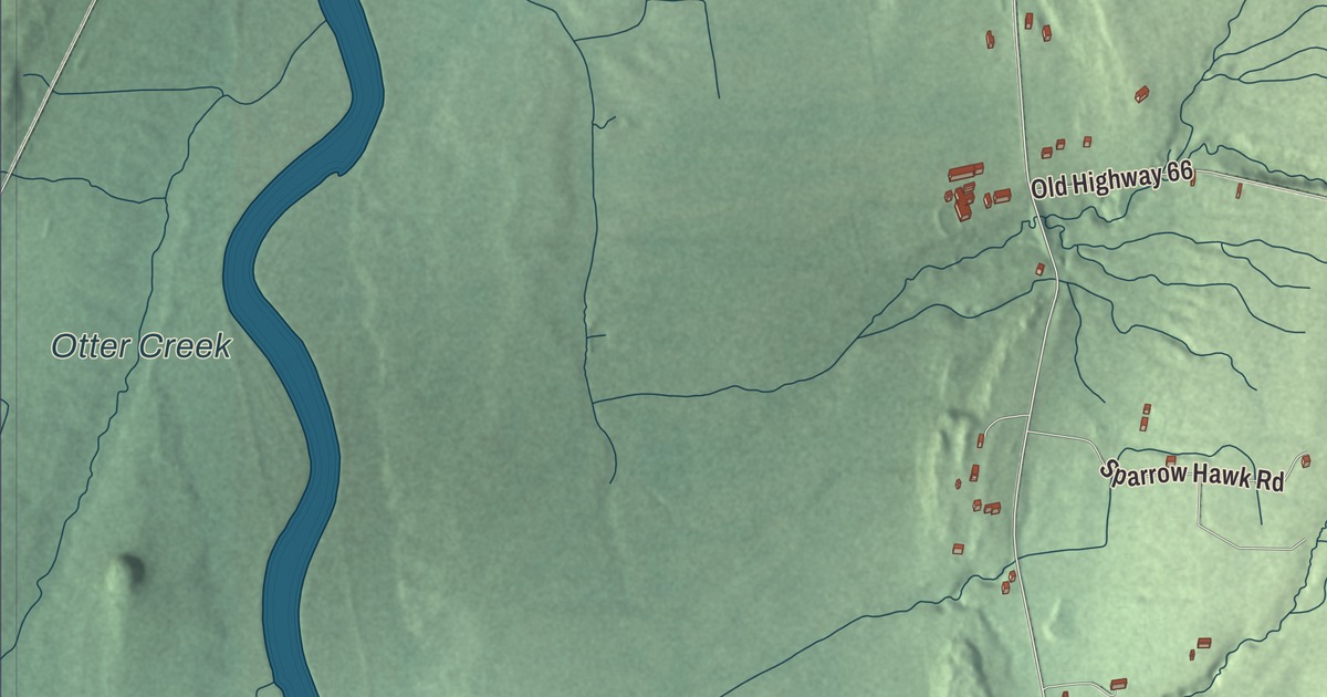
Waltham is a small town in the Champlain Valley, bordered by Vergennes on the northwest, with Otter Creek forming its western border. This map prints Otter Creek with Maple Street, Green Street, Plank Road, Middle Brook Road, South Middlebrook Road and Pearson Road.
Waltham is a town in Addison County, Vermont.
KNOWOL made this map in 2026 from public survey data and gave it the look of an old county atlas, shading the land from United States Geological Survey elevation data and drawing the roads and town line from the Census Bureau. The town covers 9.1 square miles, and 446 people lived here at the 2020 census. Click here to purchase a print of this map for your wall.
A town made from a corner of New Haven
Waltham began as part of New Haven. On November 1, 1791, Vermont annexed this corner of New Haven to the new city of Vergennes, and on October 31, 1796, the legislature set it off as a town of its own. A tract along Otter Creek was added from Addison in 1804, which brought it to about nine square miles. The town was organized on March 30, 1797, at the house of Andrew Barton Jr., its first town clerk and treasurer. Phineas Brown, the moderator that day, named it for his native town in Massachusetts. For its first decades Waltham was represented in the legislature only together with Vergennes, and it sent a representative of its own, Christopher Denison, for the first time in 1824.
A Mr. Barton and his family were among the first settlers, coming from Connecticut in 1768, and he and Phineas Brown were remembered as the most prominent men in town. A history written in the 1860s called Waltham “a snug little farming and stock-growing town.” It had Baptists and Congregationalists but no meetinghouse, four school districts, and no post office apart from Vergennes. That writer also praised Buck Mountain, which runs north and south through the middle of town. He called it the highest land in the county west of the Green Mountains and said that from its top you could see Burlington to the north and, across the lake, the New York shore all the way to Ticonderoga.
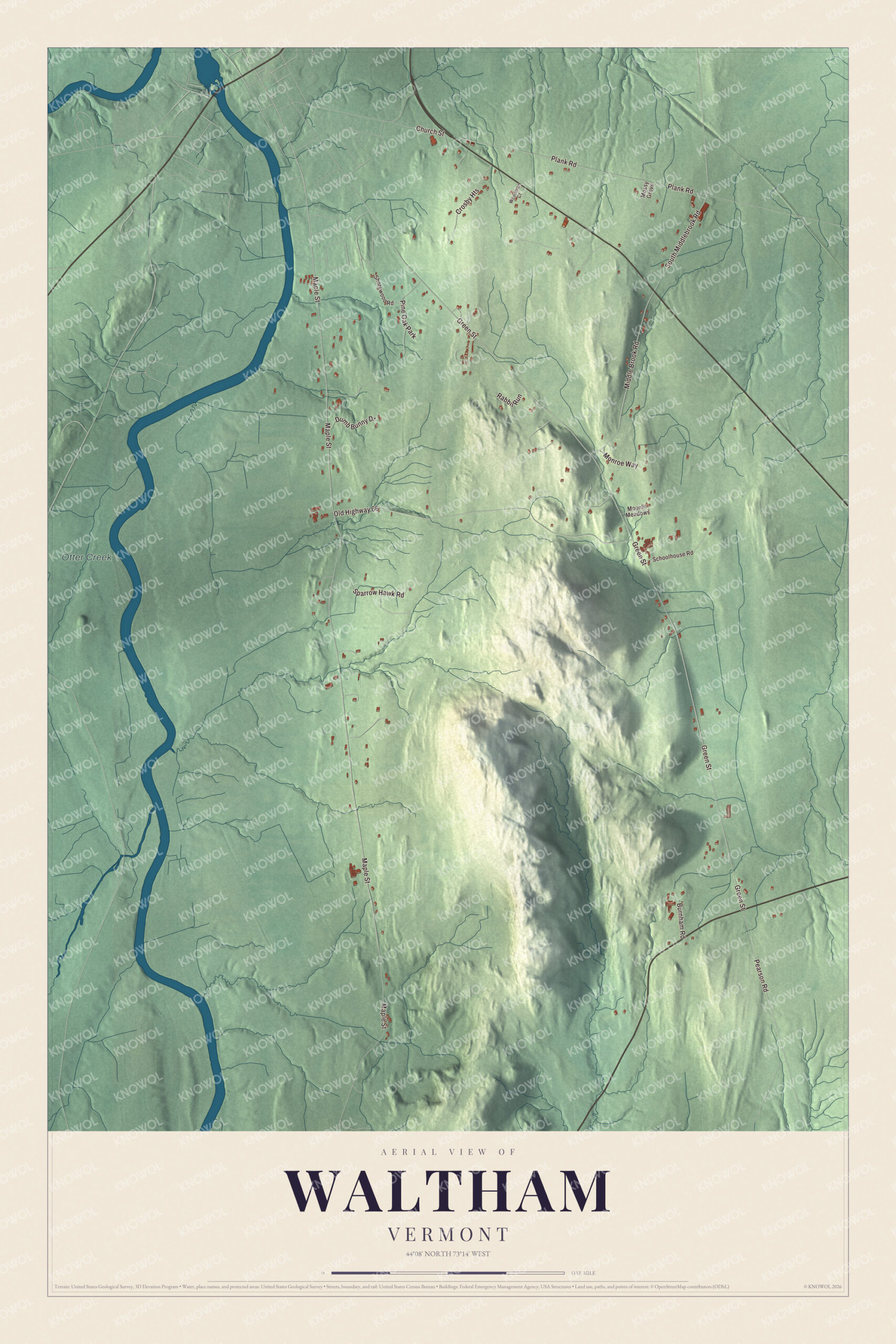
Click to explore a larger preview. The digital watermark does not appear on printed maps.
Names on this map
These names are printed on this map.
Places: Otter Creek and Pine Oak Park.
Streets and roads: Maple Street, Green Street, Old Highway 66, Plank Road, Middle Brook Road, South Middlebrook Road, Pearson Road, Sparrow Hawk Road, Crosby Heights, Church Street, Dumb Bunny Drive, Monroe Way.
More street names, A to Z
Burnham Road, Moonlit Meadows, Mossy Grove, Rabbit Run, Schoolhouse Road, Shorewood Road, Woodman Court.
See it on a wall
The Waltham map as a framed print. Swipe for more.


A small, but special place
Otter Creek, the longest river entirely within Vermont, runs along Waltham’s western side on its way north to Lake Champlain. The town borders Vergennes, Ferrisburgh, New Haven, Addison and Panton. It still has no school of its own, and its children go to school in Vergennes. Waltham’s own history page explains the name as “Walt,” meaning woods, and “ham,” meaning home. It also tells of a 2022 conversation in which someone asked one of the town’s elders why there are no signs marking where Waltham begins. After thinking it over, the elder answered, “The people who live in Waltham know where it is. For the rest it is not necessary. This is a small, but special place.”
On the map, start on Maple Street, then follow Green Street, Plank Road, Middle Brook Road, South Middlebrook Road and Pearson Road across town. Otter Creek is printed too. Waltham dates to 1796.
This map of Waltham is made for everyone who calls Waltham home, and it shows the town as it looks today, from Plank Road and Pearson Road to Otter Creek. Hang it in an office, library or den, or use it to teach children the geography and history of their town. It’s printed on museum quality archival paper. Zoom in on the preview above to explore the details, then click here to get your copy of the Waltham, Vermont map.

Sources