Warner’s Grant is a tract of about 2,000 acres in the northwestern part of Essex County, with Norton to the north, Warren’s Gore to the east and the Orleans County towns of Morgan and Holland to the south and west. This map is printed prominently with the Warner’s Grant title, and it shows the terrain inside the grant’s boundary.
Warner’s Grant is a grant in Essex County, Vermont.
KNOWOL made this map in 2026 from public survey data and gave it the look of an old county atlas, shading the land from United States Geological Survey elevation data and drawing the boundary from the Census Bureau. The grant covers 3.15 square miles, all of it land. Nobody lived there at the 2020 census, and it has been uninhabited since at least 1970. Click here to purchase a print of this map for your wall.
A grant for Seth Warner’s family
The grant is named for Seth Warner, one of the leaders of the Green Mountain Boys, and Vermont gave the land to his widow, Hester Warner, and his other heirs. The charter itself only describes the boundaries. In 1887 Hamilton Child’s gazetteer of Essex County gave the grant date as October 20, 1787, and noted that the tract had no stream of importance and no people. In parts of New England a gore, sometimes called a grant, is an unincorporated area that isn’t part of any town and has limited self-government, and Warner’s Grant is one of them.
Before the Revolution Seth Warner was a captain in the Green Mountain Boys and second in command to Ethan Allen, defending settlers in the New Hampshire Grants against New York authority. In 1771 he fortified James Breakenridge’s farm in North Bennington and turned back a large posse from Albany without a shot fired, and he was known as the Green Mountain Boy most likely to show mercy to a New York settler. In the war he rose to Continental colonel and was known for his leadership at the capture of Fort Crown Point, in the retreat from Canada, and at the battles of Hubbardton and Bennington. He died in 1784, at 41.
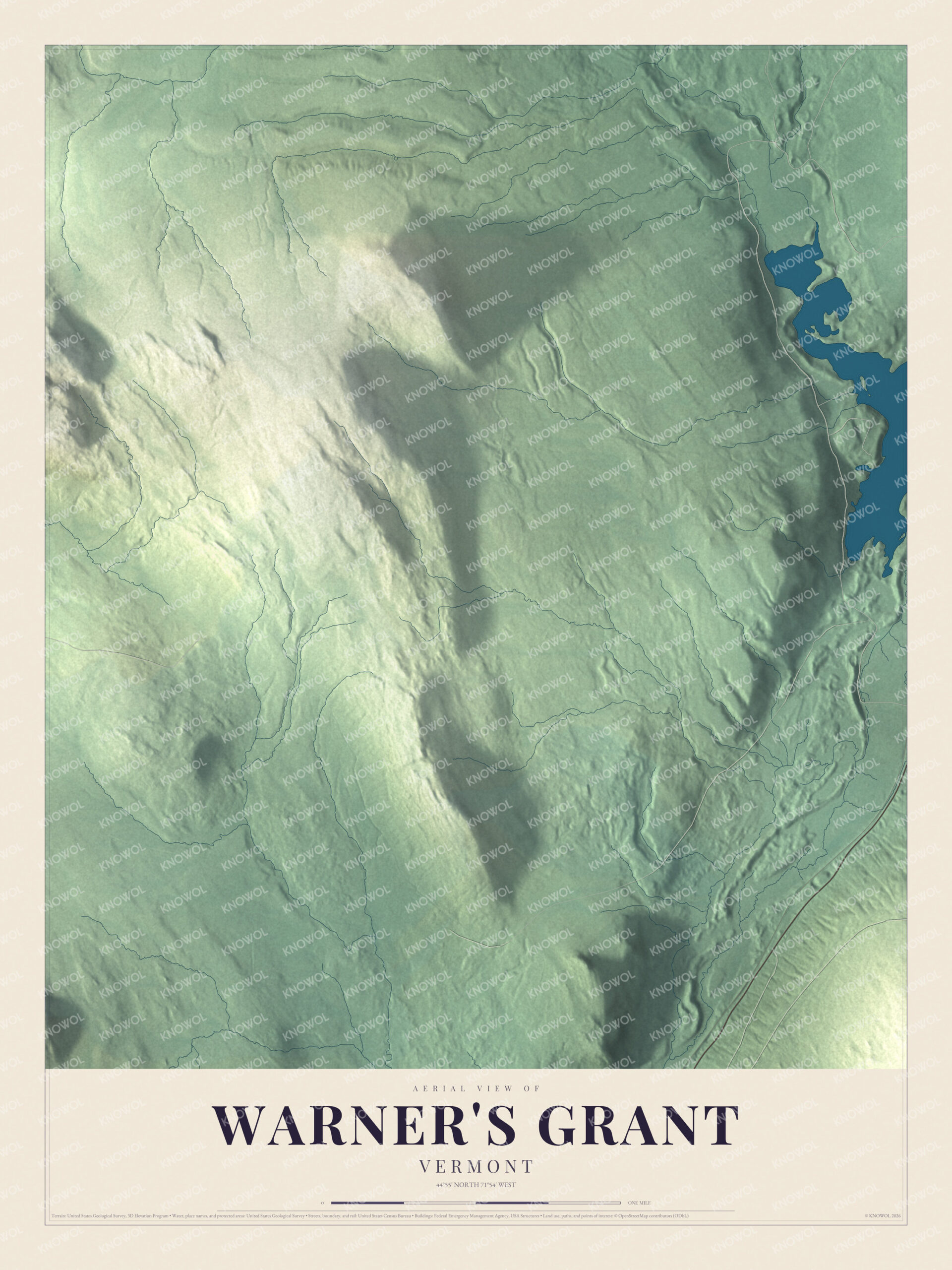
Click to explore a larger preview. The digital watermark does not appear on printed maps.
See it on a wall
The Warner's Grant map as a framed print. Swipe for more.


One place, three names
Sources don’t agree on how to write the name. The original charter doesn’t settle it, a 1918 index of the surveyors-general papers lists “Warner’s Grant or Warner’s Gore,” and the Vermont statutes use Warner’s Grant, as did Child’s gazetteer. Later road atlases and Esther Swift’s book on Vermont place names drop the apostrophe, likely a result of the U.S. Board on Geographic Names removing apostrophes from nearly all American place names since it began in 1890. The grant itself remains uninhabited and undeveloped. On the map, begin with the Warner’s Grant title, then trace the grant’s boundary across the terrain inside it.
This map of Warner’s Grant is made for anyone who loves this corner of Essex County, and it shows the grant as it looks today, from its boundary lines to the terrain within. Hang it in an office, library or den, or use it to teach children the geography and history of this corner of Vermont. It’s printed on museum quality archival paper. Zoom in on the preview above to explore the details, then click here to get your copy of the Warner’s Grant, Vermont map.

Sources