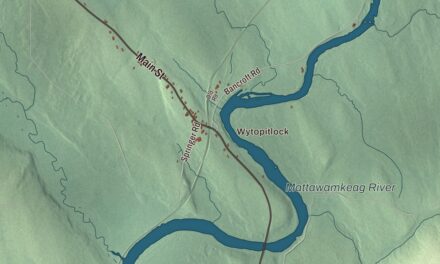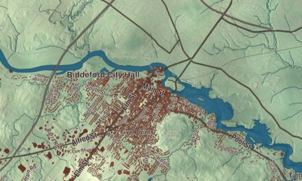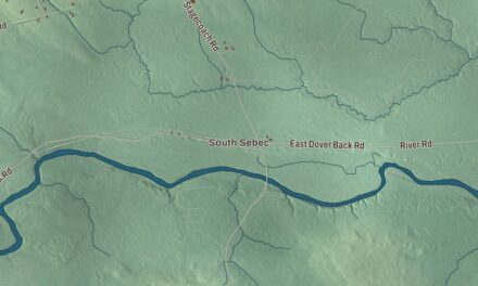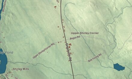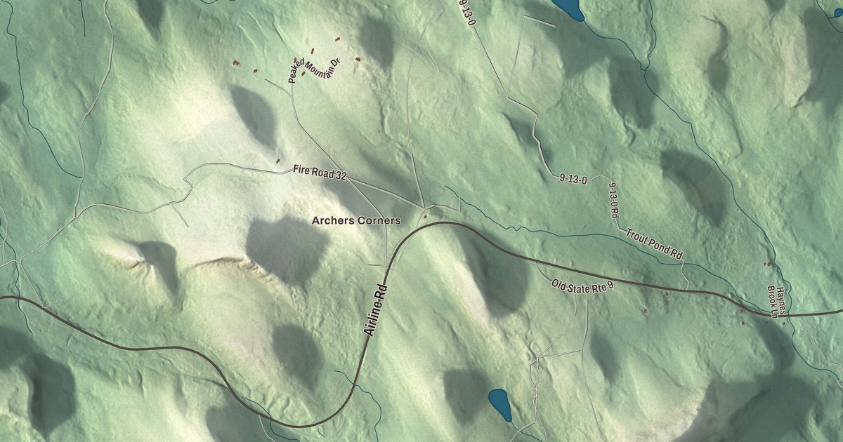
Amherst lies 22 miles north of Ellsworth. This map prints four of its ponds by name: Debec Pond, Jellison Hill Pond, Partridge Pond and Halfmile Pond. It prints the roads too, Airline Road, Mariaville Road, River Road, Trout Pond Road, Ducktail Pond Road and Smith Road, with Archers Corners among them. Click here to purchase a print of this map for your wall.
Amherst is in Hancock County, and it had 248 people at the 2020 census.
KNOWOL made this map in 2026 from public survey data and gave it the look of an old atlas. The shaded terrain comes from United States Geological Survey elevation data, and the roads and the town line come from the Census Bureau, which counts 39.63 square miles in town, only 0.31 of them water.
A six-mile square
For its early story, the town page quotes Samuel Wasson’s A Survey of Hancock County, Maine, published in 1878. Wasson wrote that men came in to fell trees as early as 1802 or 1803, among them a Mr. Chapman, a Mr. Shumway, a Mr. Whitman, John Barker, John Giles, Thomas Harpworth and a Mr. Graves. Captain Goodell Silsby arrived from New Hampshire in 1805, and his parents followed and took up the lots still known in Wasson’s day as “The Old Silsby Place.” Some settlers came into Ellsworth by vessel and found their way north by following a line of blazes on the trees, and some carried their grain twelve miles on their backs to the gristmill and home again.
The town was set off from the plantation of Mariaville in 1822 and incorporated on February 5, 1831, taking its name from Amherst, New Hampshire. Wasson described it as a six-mile square, divided by the Union River, with good orchard land east of the river and hilly granite ground to the west. Its one meetinghouse went up in 1844, built by three men, one from Amherst and two from neighboring Aurora. An earlier gazetteer, John Hayward’s of 1857, called it a good farming town with a Congregational church and one large tannery, on the road to Calais.
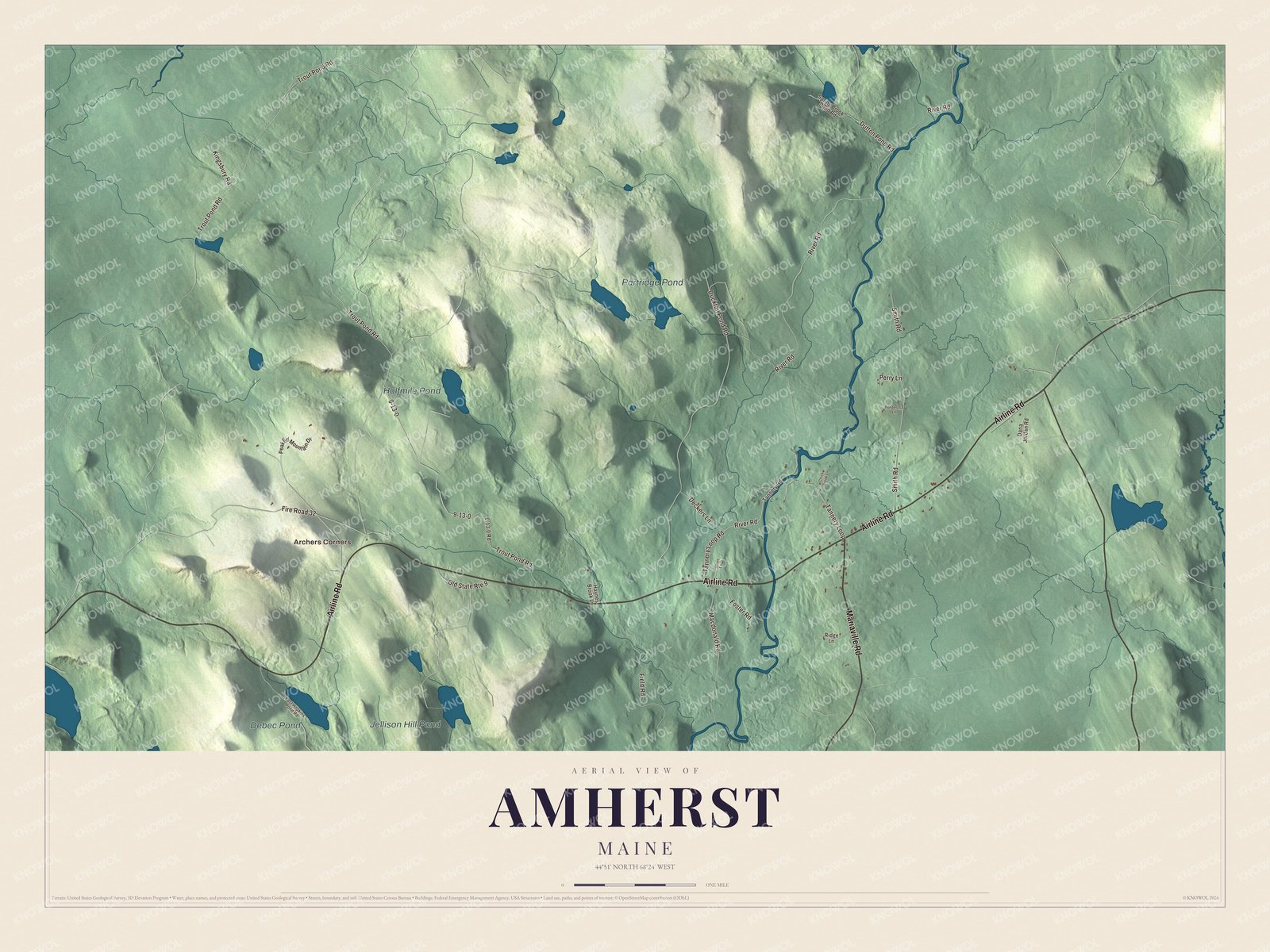
Click to explore a larger preview. The digital watermark does not appear on printed maps.
See it on a wall
The Amherst map as a framed print. Swipe for more.


Mills, mules and leather
By 1878 Wasson counted a sawmill, a clapboard mill, a gristmill and two shingle mills, and he called the town highly favored for water power. The big business was the sole-leather tannery of Buzzell & Sons, which tanned hides brought mostly from South America and Mexico. Wasson gave A. B. Buzzell the credit for the town’s livestock, writing that in improving its stock Amherst stood unrivaled, and he admired the mule team Buzzell had worked for years. He also wrote that 43 men from Amherst served as Union soldiers.
Archers Corners is printed on the map, along with the four ponds. Today Amherst’s younger children share the Airline Community School with Aurora, Great Pond and Osborn.
This Amherst map is a fine addition to an office, library or den, and it can teach children the geography and history of a town its first settlers reached by following blazed trees. It’s made for anyone who calls Amherst home, from Archers Corners to Halfmile Pond. Zoom in on the preview above to explore the details, then click here to get your copy of the Amherst, Maine map.

Sources