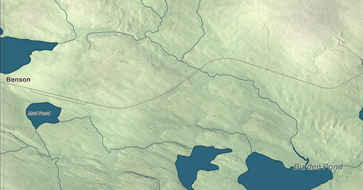
Out past Peterson Road and Bowerbank Road, where the woods run down to the water, this map of Bowerbank names Benson, Barnard and four ponds: First Buttermilk Pond, Buttermilk Pond, Burden Pond and Mud Pond. Bear Point Road, Beaver Brook Road, Arno Drive and Pudding Pond Road have their names on it too. Click here to purchase a print of this map for your wall.
Bowerbank is a town in Piscataquis County, home to 136 people at the 2020 census.
KNOWOL made this map in 2026 from public survey data, then gave it the look of an old atlas. The shading of the land comes from United States Geological Survey elevation data, and the roads and the town line come from the Census Bureau. The bureau counts 47.37 square miles inside that line, and 5.47 of them are water.
A lake town in the woods
Bowerbank was first incorporated as a town in 1839, gave up its town organization in 1869, and was incorporated as a town again in 1907. Sebec Lake covers the southwest corner of the town, according to the Sebec River page, and two small brooks on the lake’s north shore, Mill Brook and Grapevine Stream, run down to it from Bowerbank. A larger one, Bear Brook, comes 6 miles into the lake from Barnard Township.
A lumber railroad once met the main line here. The International Railway of Maine had an interchange at Ray Siding, near Caribou Stream in what its page calls Bowerbank Township, with the Ray Lumber Company’s railroad, later the Indian Lake Lumber Company’s, from 1912 to 1929.
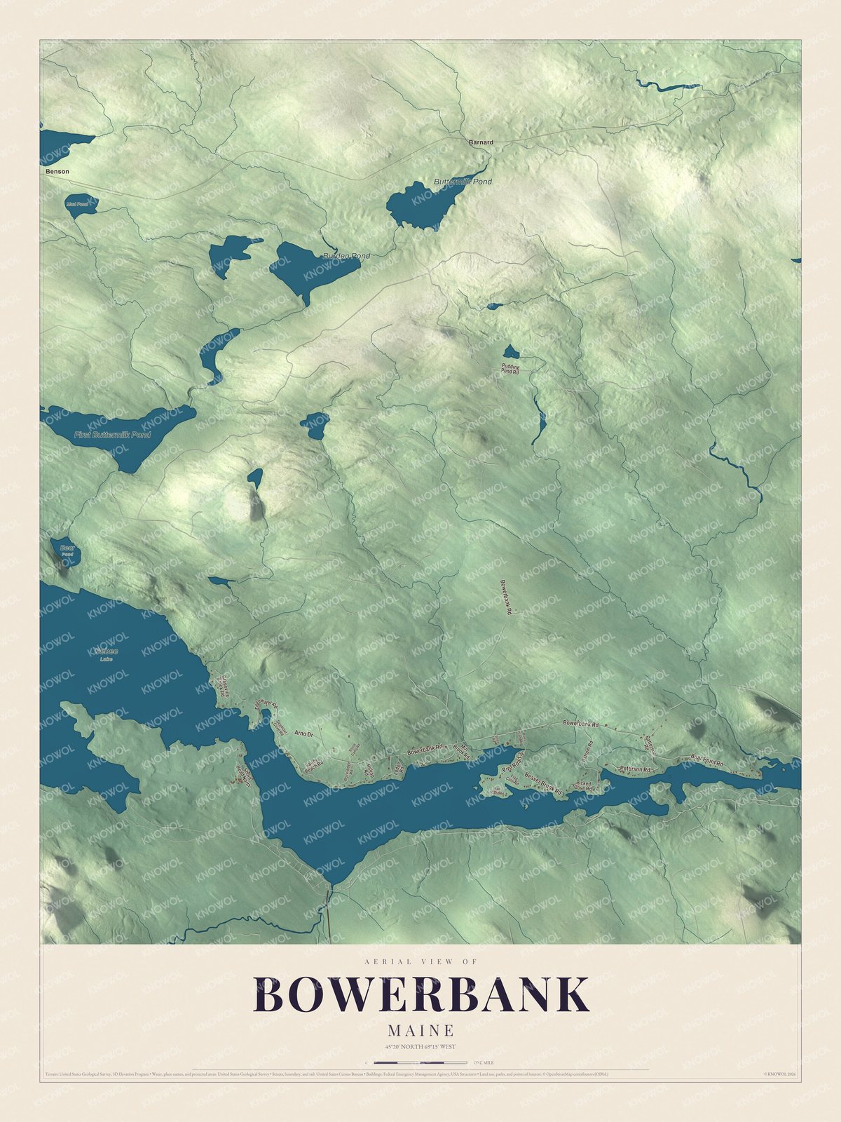
Click to explore a larger preview. The digital watermark does not appear on printed maps.
See it on a wall
The Bowerbank map as a framed print. Swipe for more.


Ponds and roads
Benson and Barnard are printed on the map. First Buttermilk Pond, Buttermilk Pond, Burden Pond and Mud Pond are printed as well. Peterson Road and Bowerbank Road are printed, and so are Bear Point Road, Beaver Brook Road, Arno Drive and Pudding Pond Road.
This Bowerbank map makes a handsome addition to an office, library or den, and it can teach children the geography and history of a Piscataquis County lake town. It’s made for anyone who calls Bowerbank home, from Benson to Barnard, as it looks today. Zoom in on the preview above to explore the details, then click here to get your copy of the Bowerbank, Maine map.

Sources