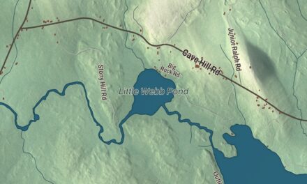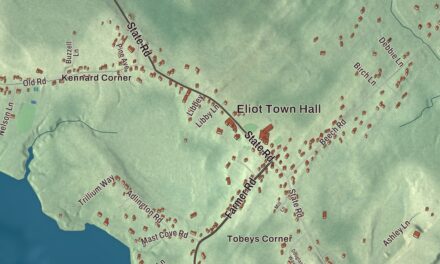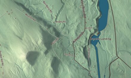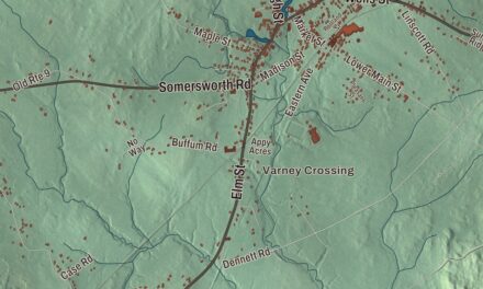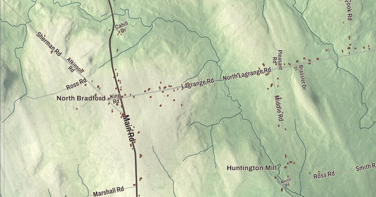
If you know Bradford, you know the crossroads where Main Road meets East Road and West Road, and this map prints all three. North Bradford, Bradford Center, Storers Corner and Huntington Mill are named on it, along with Storer Road, Charleston Road, North Lagrange Road and the West Branch Dead Stream. Click here to purchase a print of this map for your wall.
Bradford is a town in Penobscot County, and 1,184 people lived here at the 2020 census.
KNOWOL made this map in 2026 from public survey data and finished it in the style of an old atlas. United States Geological Survey elevation data gives the hills their shading, and the Census Bureau supplies the roads and the town line. The bureau measures the town at 41.18 square miles, all of it land.
From Blakesburg to Bradford
Bradford dates to 1831, the year it was incorporated as a town, on March 12. It had been organized in 1820 as Blakesburg Plantation. Its early settlement is told two ways. Some early documents say James White and Robert Marshall of Thomaston settled here between 1803 and 1805, while the town page also counts Cornelius Bradford, a descendant of Governor William Bradford of Plymouth Colony, among the first people to live in the settlement. By the mid-1850s it had about 1,500 people, roughly 200 more than it has now, according to its page.
The library at the crossroads
The village center is the crossroads itself, and the town library stands on its northeast corner. The John B. Curtis Free Public Library, at 435 Main Road, was built in 1914 and 1915 with a bequest from John Bacon Curtis, who grew up in Bradford and made a fortune with machinery for shaping and packaging spruce gum. Portland architect John Calvin Stevens designed it with his son, John Howard Stevens. It’s a single story of brick on a raised granite foundation, with granite steps, Ionic pilasters and a half-round fanlight over the door, and its page calls it the most distinctively Classical Revival library the elder Stevens designed. It was listed on the National Register of Historic Places in 1997.
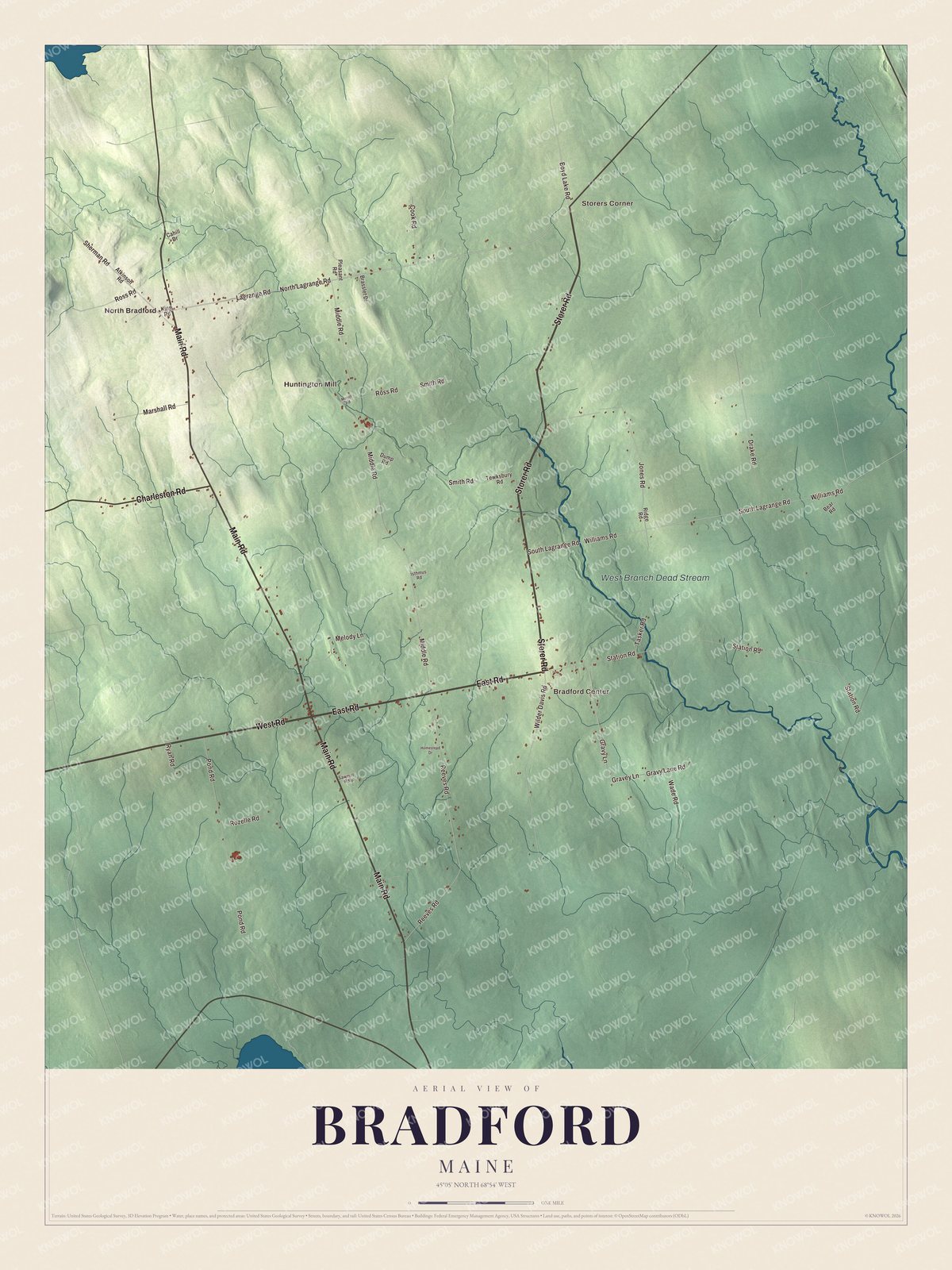
Click to explore a larger preview. The digital watermark does not appear on printed maps.
See it on a wall
The Bradford map as a framed print. Swipe for more.


Roads out of the center
Main Road and East Road are printed on the map. At the library corner, Main Road carries Maine State Routes 11 and 221, and East Road carries State Route 155. Route 221 comes up from Bangor and ends here, Route 11 runs north toward Milo, and Route 155 heads east past the town hall to Bradford Corners, where it turns north toward Lagrange. West Road is printed too. Since 1980, Route 11 has followed West Road on its way around Charleston before joining Main Road.
North Bradford, Bradford Center, Storers Corner and Huntington Mill are printed on the map. Storer Road, Charleston Road and North Lagrange Road are printed, and so is the West Branch Dead Stream. Charleston and Lagrange are the towns those two roads share their names with.
Hang this Bradford map in an office, library or den, or use it to teach children the geography and history of a Penobscot County town. It’s for anyone who calls Bradford home, from North Bradford to Storers Corner, as it looks today. Zoom in on the preview above to explore the details, then click here to get your copy of the Bradford, Maine map.

Sources
- Bradford, Maine, Wikipedia
- List of municipalities in Maine, Wikipedia
- Maine Historical Society, Bradford, Maine, town records (finding aid)
- Maine Historical Society, Bradford, Maine, town records (finding aid)
- John B. Curtis Free Public Library, Wikipedia
- National Register of Historic Places listings in Penobscot County, Maine, Wikipedia
- Maine State Route 221, Wikipedia
- Maine State Route 155, Wikipedia