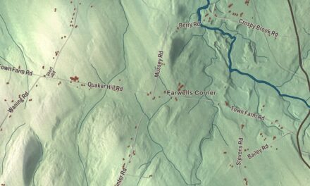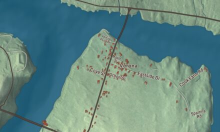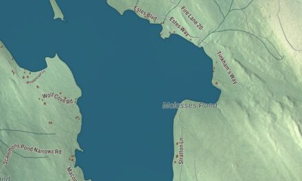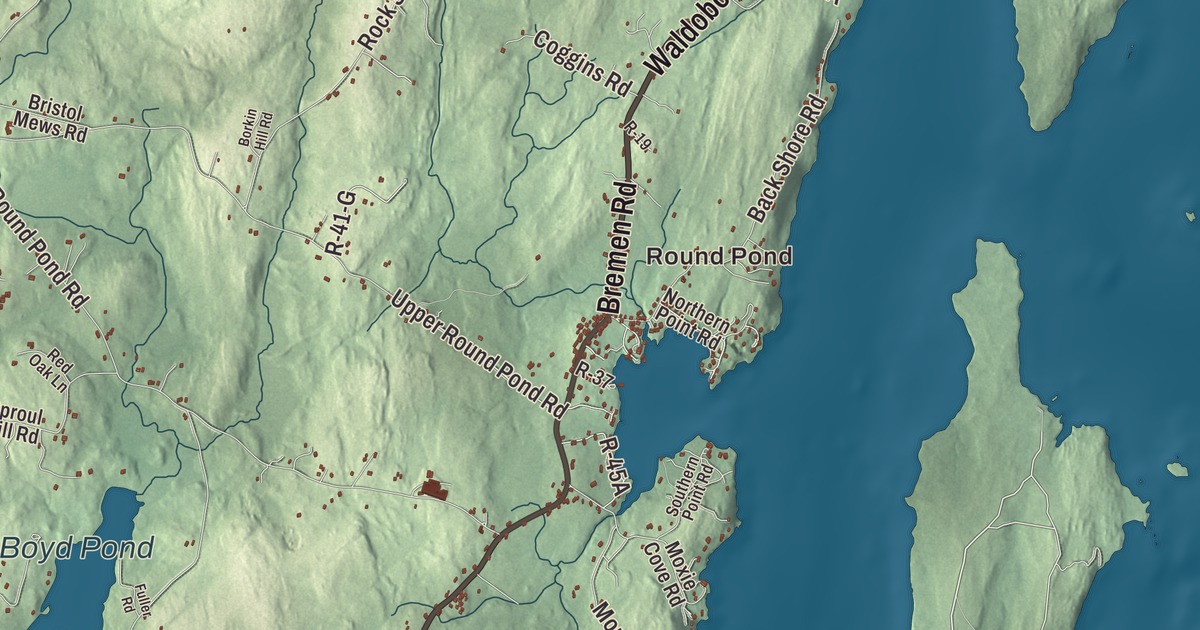
Round Pond and Chamberlain, New Harbor, Pemaquid, Pemaquid Harbor, Pemaquid Beach and Yellow Head all have their names on this map of Bristol. Bristol Road, Bremen Road, Waldoboro Road, Old Country Road, Benner Road and Upper Round Pond Road are printed too, and so are Biscay Pond, Boyd Pond and Ross Pond. Click here to purchase a print of this map for your wall.
Bristol is a town in Lincoln County, and 2,834 people lived here at the 2020 census.
KNOWOL made this map in 2026 from public survey data and gave it the look of an old atlas. The land is shaded from United States Geological Survey elevation data, and the roads and town line come from the Census Bureau. The bureau counts 78.23 square miles in Bristol, and more than half of that, 44.24 square miles, is water, since the town sits on the Pemaquid Peninsula, reaching out into the Gulf of Maine.
When Bristol was Pemaquid
From 1632 to 1765 this town was known as Pemaquid. It was the land of the Wawenock Abenaki, a name its page translates as “People of the Bay,” and English fishermen came here by the season before a year-round trading post and settlement took hold at Pemaquid in the 1620s. In 1631 the Plymouth Council granted the area as the Pemaquid Patent to Robert Aldsworth and Gyles Elbridge, merchants from Bristol, England. Bristol dates to 1765. On June 21 of that year the town was incorporated and named for its proprietors’ home port. Later it set off land for Nobleboro, Bremen, Damariscotta and, in 1915, South Bristol.
Pemaquid stood on a contested frontier between New England and French Acadia, and it was attacked several times. The town page calls early Bristol one of the most important and embattled frontier settlements in the province. In 1692 Massachusetts built Fort William Henry here of stone, at a cost its page puts at a third of the colony’s budget, and the same page says that in its time it was the largest fort in New England. French forces took and destroyed it four years later. Colonel David Dunbar rebuilt the fort in 1729 and 1730 as Fort Frederick, and in 1775 the townspeople took it apart themselves so the British couldn’t use it. In the War of 1812 the waters off Pemaquid Point saw the USS Enterprise capture HMS Boxer.
The Abenaki sagamore Samoset, the first Native American to make contact with the Pilgrims at Plymouth, is believed to have died at Pemaquid around 1653. Elizabeth Upham Yates was born in Bristol in 1857. She served as a missionary in China, lectured across New England for women’s suffrage, led the Rhode Island Women’s Suffrage Association, and in 1920 became one of the first two women to run for statewide office in Rhode Island.
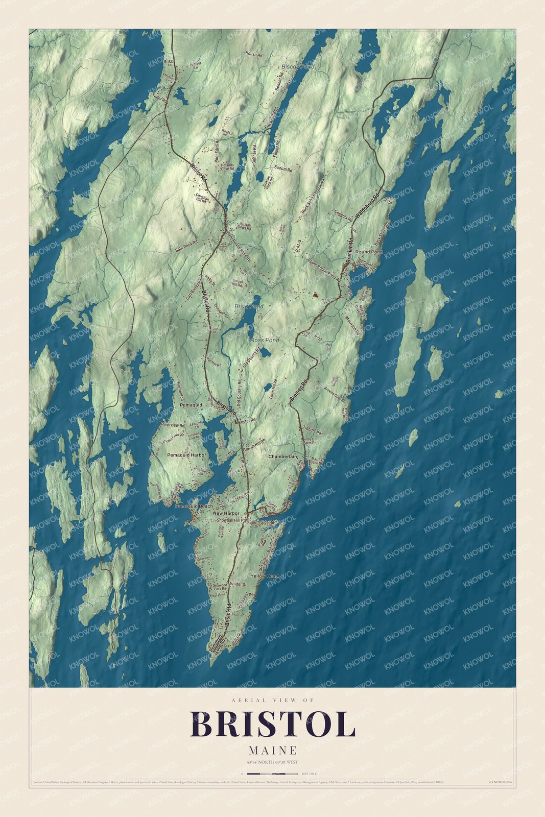
Click to explore a larger preview. The digital watermark does not appear on printed maps.
See it on a wall
The Bristol map as a framed print. Swipe for more.


Pemaquid, the point and the beach
Pemaquid, Pemaquid Harbor and Pemaquid Beach are printed on the map. Near Pemaquid Beach, at the mouth of the Pemaquid River, is the Colonial Pemaquid State Historic Site, a state park since 1903. In 1908 the round stone tower of Fort William Henry was rebuilt there from old drawings, using many of the original stones, and the site was designated a National Historic Landmark in 1993. Pemaquid Beach itself has been owned by the town since a special town meeting voted to buy it in 1958.
At the tip of the peninsula stands the Pemaquid Point Light. President John Quincy Adams commissioned it in 1827, but its page says poor workmanship, including salt water in the mortar, made it crumble, and it was replaced in 1835. Its fourth-order Fresnel lens, installed in 1856, is one of only six Fresnel lenses still in service in Maine, and the 1857 keeper’s house is now the Fishermen’s Museum. One keeper, Marcus A. Hanna, was the only man ever awarded both the Medal of Honor and the Gold Lifesaving Medal. Mainers chose the lighthouse by popular vote for the state’s quarter.
New Harbor, Round Pond and Bristol Mills
New Harbor is printed on the map. Its lobster fishermen and Back Cove were featured on the Discovery Channel’s Sunrise Earth, and the Rachel Carson Salt Pond Preserve there was one of the writer’s favorite spots and inspired some of the research for The Edge of the Sea.
Round Pond and Chamberlain are printed on the map as well. In Round Pond, on State Route 32, stands the Union Church of 1853, known locally as the Little Brown Church, one of the few Carpenter Gothic churches of its kind in the state. Also on Route 32 in Round Pond is the Cottage on King’s Row, which appears to have been built about 1853 for Alexander Yates in the Gothic style of the designer Andrew Jackson Downing; the Yates family had lived in Round Pond since 1742.
Benner Road and Biscay Pond are printed too. Just below the pond’s outlet, Benner Road crosses the Pemaquid River on the Arch Bridge, a dry-laid stone arch near the village of Bristol Mills, probably built before 1800 and, by its page’s account, one of the oldest stone bridges in the state. A similar arch once carried Upper Round Pond Road, which is printed as well, until it was replaced in 1984. Bristol Road is printed, and so are Bremen Road, Waldoboro Road and Old Country Road, along with Yellow Head, Boyd Pond and Ross Pond. The village of Bristol Mills stretches along Bristol Road, which is State Route 130.
This Bristol map makes a handsome addition to an office, library or den, and it can teach children the geography and history of the town that was once Pemaquid. It’s made for anyone who calls Bristol home, from Pemaquid Point to Round Pond, as it looks today. Zoom in on the preview above to explore the details, then click here to get your copy of the Bristol, Maine map.

Sources
- Bristol, Maine, Wikipedia
- Colonial Pemaquid State Historic Site, Wikipedia
- Fort William Henry (Maine), Wikipedia
- Samoset, Wikipedia
- Elizabeth Upham Yates, Wikipedia
- Pemaquid Point Light, Wikipedia
- New Harbor, Maine, Wikipedia
- Union Church (Round Pond, Maine), Wikipedia
- Cottage on King’s Row, Wikipedia
- Arch Bridge (Bristol, Maine), Wikipedia