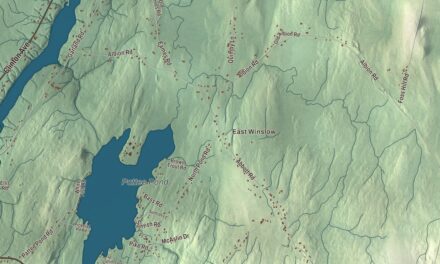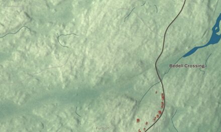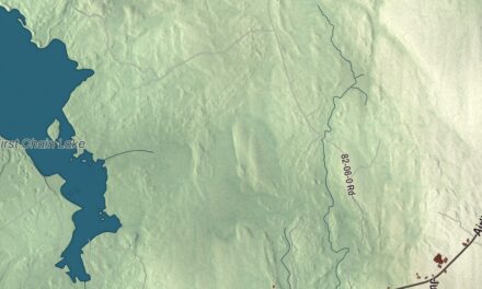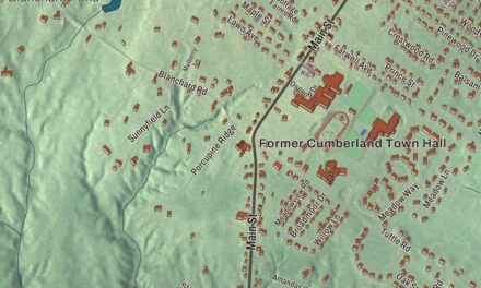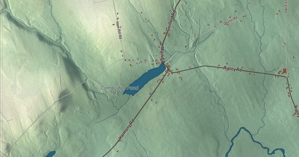
Main Street leads the names printed on this map of Cambridge, and Guilford Road, Harmony Road, Ripley Road, North Road and Parkman Woods Road carry theirs too. Cambridge Pond and the Main Stream Sebasticook River are printed as well. Click here to purchase a print of this map for your wall.
Cambridge is a town in Somerset County, with 443 people at the 2020 census.
KNOWOL made this map in 2026 from public survey data and gave it the look of an old atlas. The land is shaded from United States Geological Survey elevation data, and the roads and town line come from the Census Bureau. The bureau counts 19.38 square miles in Cambridge, and only 0.06 of them are water.
A name from England
Cambridge was first part of Ripley. Cambridge dates to 1834, the year the town was incorporated on its own. The town’s page says the name was chosen by a young girl who was studying in England, and it names the Bunkers as the original family.
Two notable people have called Cambridge home. Charles Cassius Rogers was born in Cambridge in 1849. He taught mathematics at Eastman College, became president of the Association for Advancement of Milwaukee and was elected to the Wisconsin State Senate in 1902. Jeffrey C. Hall, a geneticist and professor emeritus of biology at Brandeis University, lives in Cambridge today. He spent his career studying the behavior and daily rhythms of fruit flies, and in 2017 he shared the Nobel Prize in Physiology or Medicine with Michael W. Young and Michael Rosbash for discoveries about the molecular machinery that controls the circadian rhythm.
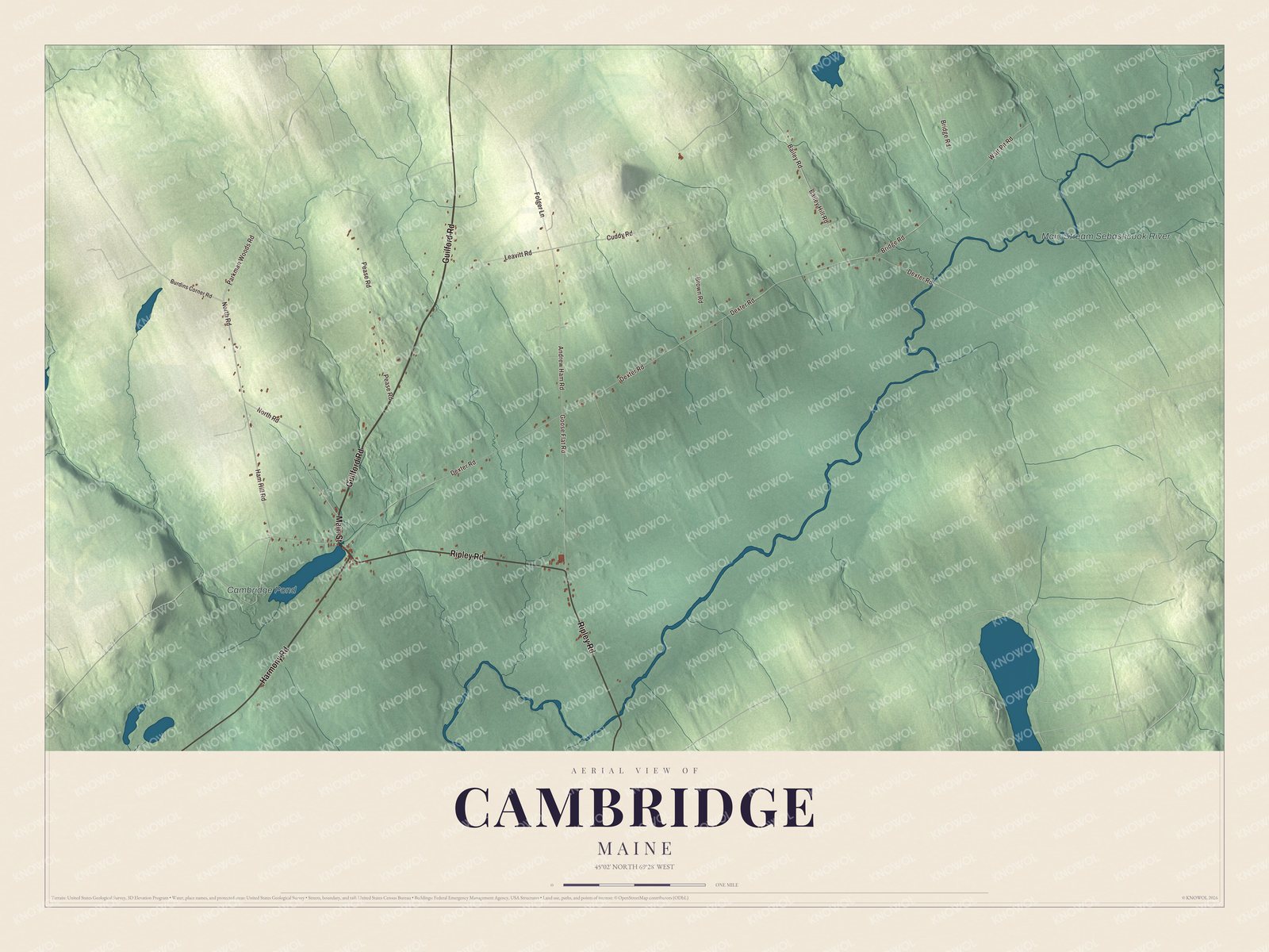
Click to explore a larger preview. The digital watermark does not appear on printed maps.
Names on this map
These names are printed on this map.
Places: Cambridge Pond and Main Stream Sebasticook River.
Streets and roads: Main Street, Guilford Road, Harmony Road, Ripley Road, North Road, Parkman Woods Road, Andrew Ham Road, Goose Flat Road, Bridge Road, Bailey Hill Road, Dexter Road, Ham Hill Road.
More street names, A to Z
Bailey Road, Brown Road, Burdins Corner Road, Cuddy Road, Folger Lane, Leavitt Road, Pease Road, Watt Pit Road.
See it on a wall
The Cambridge map as a framed print. Swipe for more.


Around the map
Main Street is printed on the map, and so are Guilford Road, Harmony Road, North Road and Parkman Woods Road. Ripley Road is printed as well, sharing its name with the town Cambridge was once part of. Cambridge Pond and the Main Stream Sebasticook River are printed on the map too. The Sebasticook’s upper stretch is known as the Main Stream, and from its source in Dexter it flows west and south about 30 miles to Great Moose Lake. From there the river runs on to the Kennebec at Winslow.
This Cambridge map makes a handsome addition to an office, library or den, and it can teach children the geography and history of a Somerset County town that began as part of Ripley. It’s made for anyone who calls Cambridge home, from Main Street to Cambridge Pond, as it looks today. Zoom in on the preview above to explore the details, then click here to get your copy of the Cambridge, Maine map.

Sources