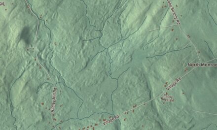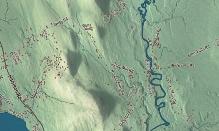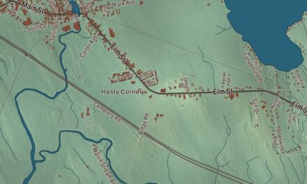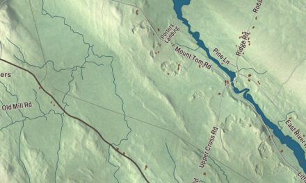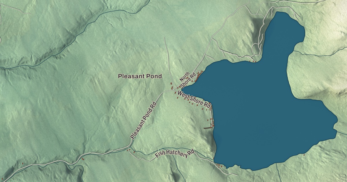
Pleasant Pond leads the names printed on this map of Caratunk, along with Baker Pond and Big Dimmick Pond. Canada Road, Main Street, Pleasant Pond Road, West Shore Road, Heald Pond Road and Baker Dimmock Road carry their names too. Click here to purchase a print of this map for your wall.
Caratunk is a town in Somerset County, with 81 people at the 2020 census.
KNOWOL made this map in 2026 from public survey data and gave it the look of an old atlas. The mountains are shaded from United States Geological Survey elevation data, and the roads and town line come from the Census Bureau, which counts 55.27 square miles in Caratunk, 2.97 of them water.
A town on the Kennebec
Caratunk was organized as a plantation in 1840 and became a town in 1977. Its village lies on the Kennebec River, where Pleasant Pond Stream comes in after flowing 3 miles west from the pond.
Canada Road is printed on the map. U.S. Route 201 follows the Kennebec north from Gardiner to The Forks, and north of Solon it’s known as the Old Canada Road National Scenic Byway. The highway crosses the Appalachian Trail at Caratunk.
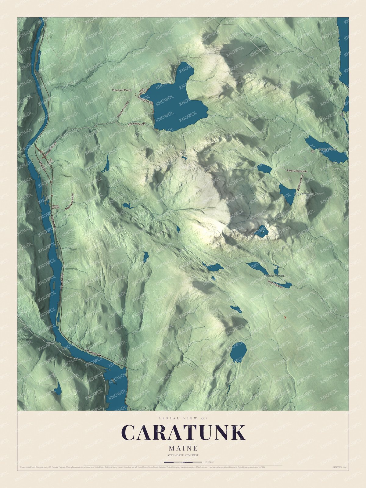
Click to explore a larger preview. The digital watermark does not appear on printed maps.
See it on a wall
The Caratunk map as a framed print. Swipe for more.


Pleasant Pond
Pleasant Pond is printed on the map, and it’s the largest lake in Caratunk. Its water spills over a dam at the pond’s southwest corner into Pleasant Pond Stream. The Appalachian Trail comes through town along that stream, follows the pond’s northwest shore and then climbs Pleasant Pond Mountain. The pond holds lake trout and brook trout. Pleasant Pond Road and West Shore Road are printed on the map, and so are Main Street, Heald Pond Road and Baker Dimmock Road. Baker Pond and Big Dimmick Pond are printed as well.
This Caratunk map makes a handsome addition to an office, library or den, and it can teach children the geography and history of an Appalachian Trail town on the Kennebec. It’s made for anyone who calls Caratunk home, from Pleasant Pond to Baker Pond, as it looks today. Zoom in on the preview above to explore the details, then click here to get your copy of the Caratunk, Maine map.

Sources