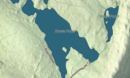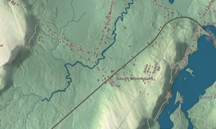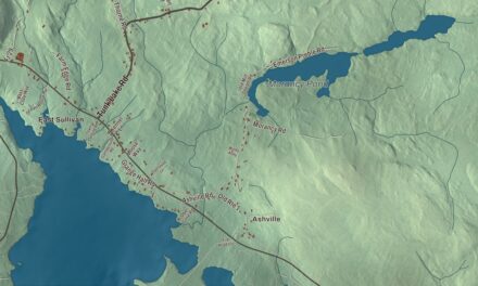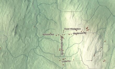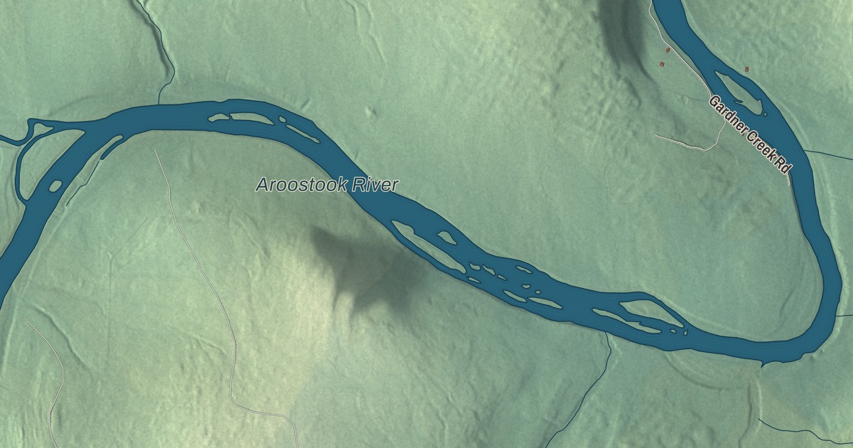
Haystack Road, Frenchville Road and Richardson Road are printed on this map of Castle Hill, Maine, and so are Haynes Road, Waddell Road and Dudley Road. The Aroostook River carries its name too. Click here to purchase a print of this map for your wall.
Castle Hill is a town in Aroostook County, with 373 people at the 2020 census.
KNOWOL made this map in 2026 from public survey data, drawn in the spirit of an old atlas. Its hills are shaded from United States Geological Survey elevation data, and the roads and town line come from the Census Bureau, which counts 36.15 square miles in Castle Hill, 0.46 of them water.
Over the hill toward Mapleton
Castle Hill was incorporated as a town in 1903. The census counted 454 people here in 2000 and 425 in 2010, and the town’s listed elevation is 869 feet.
State Route 163 crosses the town on its way from Ashland to Presque Isle. It comes in from the unorganized territory to the west, then climbs a hill on the south side of Haystack Mountain, with an extra climbing lane for eastbound drivers. At the top of that climb the road passes the entrance to a park, and after a few more curves it heads north into Mapleton. Haystack Road is printed on the map, and it shares its name with that mountain.
The hill itself
State Route 227 leaves Ashland on Frenchville Road and passes through the settlement of Frenchville before it crosses into Castle Hill, where it makes a long descent into a valley and crosses Welts Brook at the bottom. Then it climbs Castle Hill and reaches the settlement of the same name at the top, a church and a line of houses along the road. Leaving the ridge, it passes a cemetery and more houses on the way down into Mapleton.
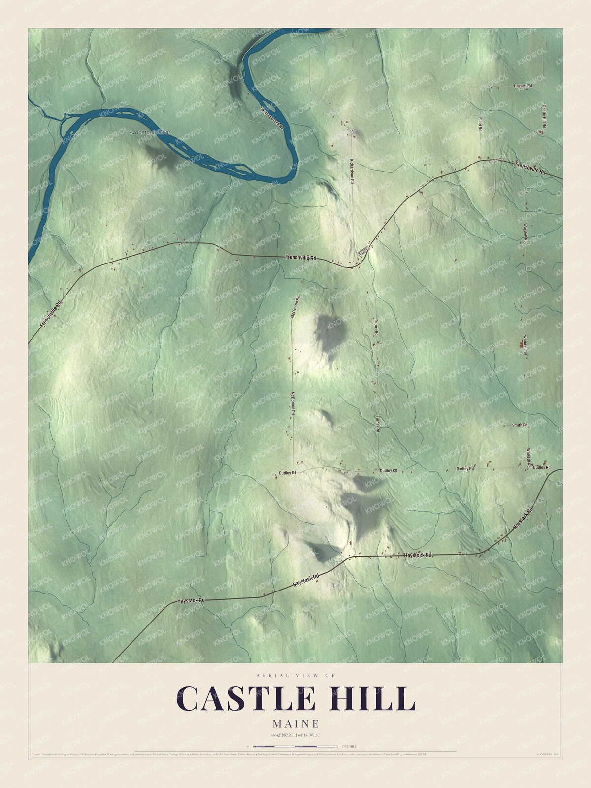
Click to explore a larger preview. The digital watermark does not appear on printed maps.
See it on a wall
The Castle Hill map as a framed print. Swipe for more.


Frenchville Road, Richardson Road, Haynes Road, Waddell Road and Dudley Road are printed on the map. The Aroostook River is printed as well. It rises in northern Penobscot County and winds east and northeast through Aroostook County, through Ashland and on past Presque Isle and Caribou to the Saint John River in New Brunswick.
This Castle Hill map makes a good addition to an office, library or den, and it can help teach children the geography and history of the area. It’s made for everyone who calls Castle Hill home, from Haystack Road to the Aroostook River, as it looks today. Zoom in on the preview above to explore the details, then click here to get your copy of the Castle Hill, Maine map.

Sources