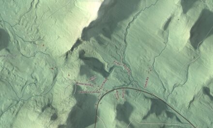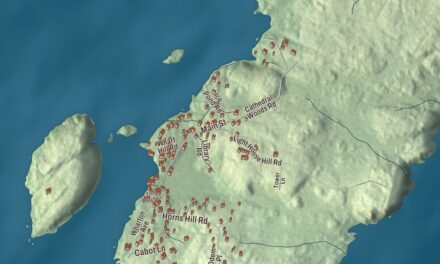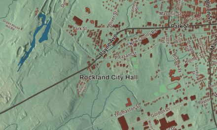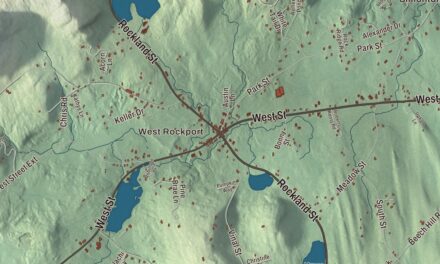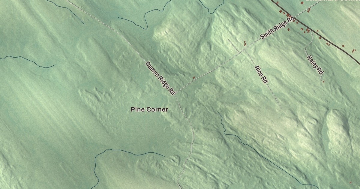
Charlotte Road and Ayers Junction Road cross this map of Charlotte, Maine, with Pine Corner and Blanchard Corner printed among the names. Station Road, Cone Road, Oscar Brown Road and Fisher Pow Lane carry their names too, and so do Pennamaquan Lake, Round Lake and James Pond. Click here to purchase a print of this map for your wall.
Charlotte is a town in Washington County, with 337 people at the 2020 census.
KNOWOL made this map in 2026 from public survey data and gave it the old atlas treatment. The land is shaded from United States Geological Survey elevation data, and the roads and town line come from the Census Bureau, which counts 33.75 square miles in Charlotte, 2.76 of them water.
The pound on Charlotte Road
Charlotte was incorporated in 1825 and named for Charlotte Holland Vance, who lived from 1826 to 1918, the daughter of the legislator William Vance. Even before the town was incorporated, its early settlers were paying in 1822 to keep up an animal pound on one farmer’s land, and in 1826 the town authorized a formal wooden pound.
Charlotte Road is printed on the map. On its north side, about a quarter mile east of State Route 214, stands the Charlotte Pound, built in 1872 on a different site from the earlier two. It’s built of stacked cedar logs on a cobbled stone foundation, eight-sided, with each side about 18 feet long and a wooden gate on the side facing south-southeast. It’s the only documented wooden pound in Maine; every other pound on record in the state is built of stone.
The town kept a pound keeper into the 1920s, and after that the pound was abandoned. Interest in it revived in 1988, and it was restored, with about 40 percent of its logs replaced. It was listed on the National Register of Historic Places in 2005.
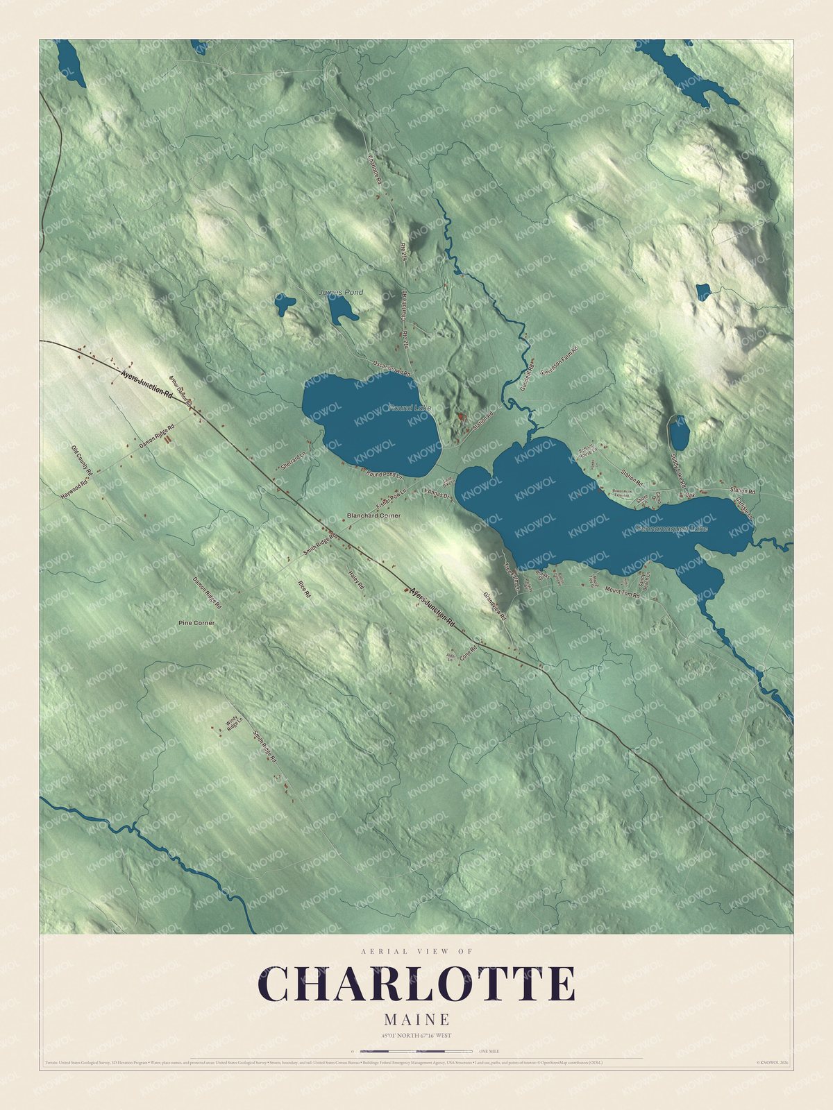
Click to explore a larger preview. The digital watermark does not appear on printed maps.
See it on a wall
The Charlotte map as a framed print. Swipe for more.


Ayers Junction Road and the lakes
Ayers Junction Road is printed on the map. It’s State Route 214, which carries that name for its whole ten miles, from Route 191 in Meddybemps to U.S. Route 1 in Pembroke. Station Road, Cone Road, Oscar Brown Road and Fisher Pow Lane are printed too, and so are Pine Corner and Blanchard Corner. Pennamaquan Lake, Round Lake and James Pond are printed on the map as well.
This Charlotte map makes a fine addition to an office, library or den, and it can help teach children the geography and history of the area. It’s made for everyone who calls Charlotte home, from Charlotte Road to Pennamaquan Lake, as it looks today. Zoom in on the preview above to explore the details, then click here to get your copy of the Charlotte, Maine map.

Sources