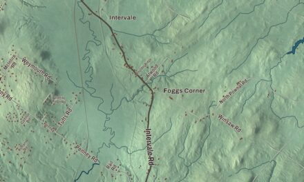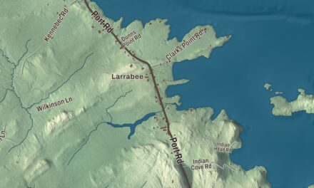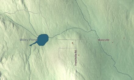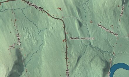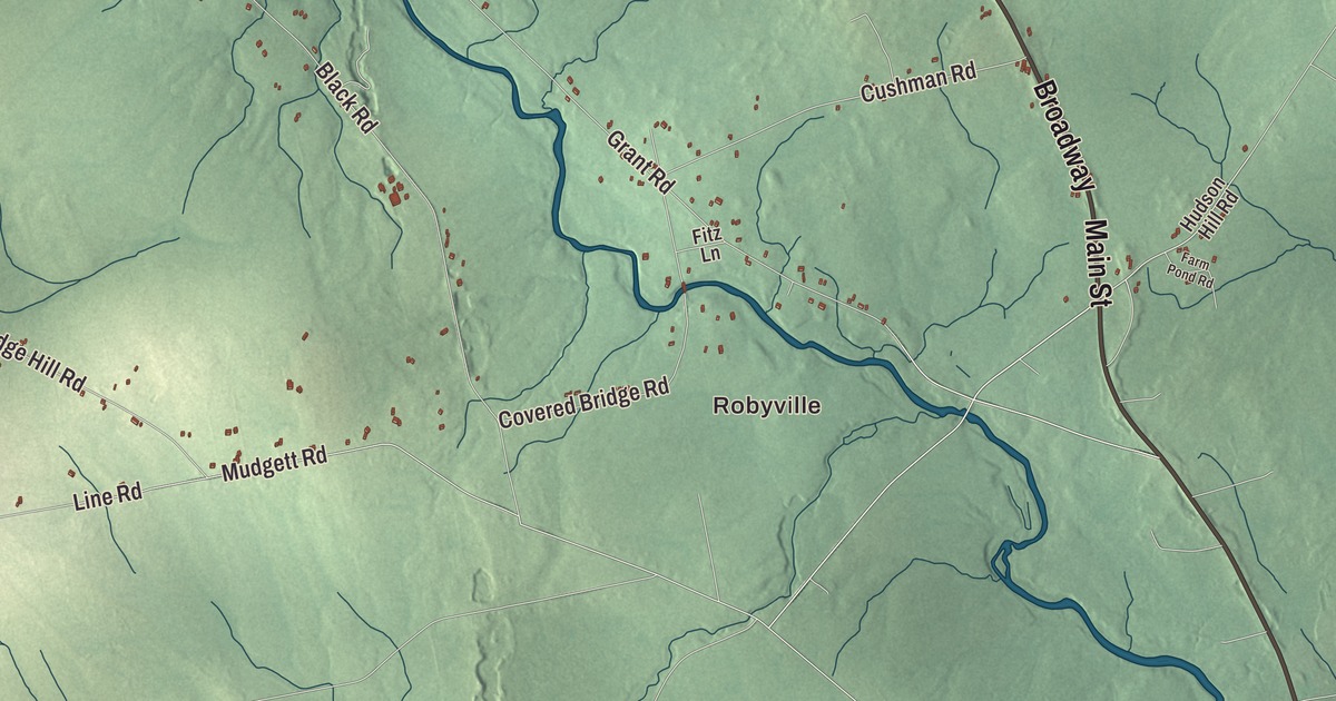
East Corinth, West Corinth and South Corinth are all on this map of Corinth, Maine, and so are Robyville and McGregor Mill. Main Street, Exeter Road, Broadway, Hudson Road, Garland Road and Marsh Road carry their names between them. Click here to purchase a print of this map for your wall.
Corinth is a town in Penobscot County, with 2,900 people at the 2020 census.
KNOWOL made this map in 2026 from public survey data and drew on the look of an old atlas to finish it. United States Geological Survey elevation data shades the woods and fields, and the Census Bureau supplies the roads and the town line. The Bureau counts 40.27 square miles in Corinth, all of it land, and about 38% of the town is forest.
From Ohio to Corinth
Corinth’s page names Colin Palmer as the town’s founder, with a home built on Lot 10 of the First Range in 1792, and says the extended Daniel Skinner family settled the town in the late 1790s. The page for the historic village at West Corinth gives Skinner a log cabin there in 1793. The settlement was first called Ohio, and Bangor still has an Ohio Street, part of the old road that ran from Bangor to what’s now Corinth. When the town was incorporated in 1811 it took the name Corinth, after the classical Greek city. Milo, Etna, Carmel and Levant got similar names around the same time, probably to help draw settlers.
By the middle of the 1800s Corinth had three villages, East Corinth, West Corinth and South Corinth. East Corinth grew to be the largest, and by the 1850s it had five shops building carriages and sleighs, a local specialty. West Corinth, also called the Skinner Settlement, is a crossroads village at Ledge Hill and West Corinth Roads, with a general store, a district schoolhouse, a Greek Revival church dedicated in 1849, and a number of buildings from before 1850, most of the houses modest Capes. Daniel Skinner’s own frame Cape, built in the 1810s, may have been the first frame building in the area. The village has been a historic district on the National Register of Historic Places since 1973.
The old Corinth Town Hall, at 328 Main Street in East Corinth, went up in 1880 as a joint project of the town and the local Odd Fellows lodge, which paid three sevenths of the cost. For about a hundred years it served as the town hall, with the lodge upstairs, and it was a gathering place for social events and political rallies, and even a gymnasium for the local schools. It’s survived several fires, and it joined the National Register in 2008.
Corinth people went on to do notable things. Henrietta Gould Rowe, born in East Corinth in 1835, wrote stories and poems of New England life, among them Re-told Tales of the Hills and Shores of Maine in 1892. Arthur R. Gould, born in Corinth and schooled at East Corinth Academy, moved to Presque Isle, where he built power plants and an electric railroad, served as president of the Aroostook Valley Railroad from 1902 to 1946, and won a 1926 special election to the United States Senate on an anti-Klan platform, carrying every city and county in Maine. The town also counts Frank Mason Robinson among its people, the early Coca-Cola partner who gave the drink its name and first wrote it out in the flowing Spencerian script.
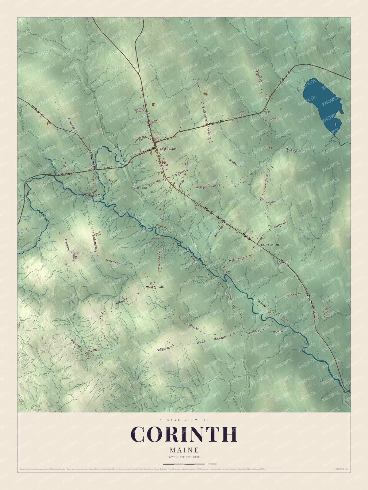
Click to explore a larger preview. The digital watermark does not appear on printed maps.
See it on a wall
The Corinth map as a framed print. Swipe for more.


Robyville and the villages
The Robyville Bridge, built in 1876, carries Covered Bridge Road across Kenduskeag Stream in the southern part of town. It’s a 76-foot Howe truss bridge with shingled walls, one of the few 19th-century covered bridges left in Maine, and it’s still open to traffic. It was listed on the National Register in 1970, and in 2002 the American Society of Civil Engineers named it a Maine Historic Civil Engineering Landmark. Sawmills stood in the Robyville area for many years. The stream itself rises at Garland Pond in Garland and flows southeast through Corinth on its way to Bangor and the Penobscot, and its name means “eel weir place” in Penobscot.
In East Corinth, Main Street is State Route 15, and Exeter Road carries Routes 11 and 43. Robyville and McGregor Mill are printed on the map, and so are East Corinth, West Corinth and South Corinth. Main Street, Exeter Road, Broadway, Hudson Road, Garland Road and Marsh Road are all labeled on the map.
This Corinth map makes a good addition to an office, library or den, and it can help teach children the geography and history of the area. It’s made for everyone who calls Corinth home, from Robyville to West Corinth, as it looks today. Zoom in on the preview above to explore the details, then click here to get your copy of the Corinth, Maine map.

Sources