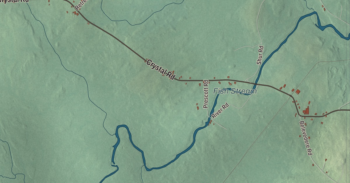
Crystal Road and Upper Crystal Road are the names to look for first on this map of Crystal, Maine, with Pine Tree Road, Cow Team Road, Winding Hill Road and Bog Brook Road branching off across town. Fish Stream, Lost Pond and Cold Brook are on the sheet as well. Click here to purchase a print of this map for your wall.
Crystal is a town in Aroostook County, with 248 people at the 2020 census.
KNOWOL made this map in 2026 from public survey data and gave it the look of an old atlas. The Census Bureau measures Crystal at 40.43 square miles, with only 0.03 square miles of water. The roads and town line come from those same Census Bureau files, and United States Geological Survey elevation data shades the hills. The town’s listed elevation is 482 feet.
Crystal and its neighbors
Crystal was organized as a plantation in 1840 and incorporated as a town on March 21, 1901. Sherman borders it to the south, Island Falls to the east and Hersey to the north, and Patten, across the line in Penobscot County, lies to the west. The census counted 285 people here in 2000, 269 in 2010 and 248 in 2020.
Crystal Bog is a domed bog inside the town. Its page says it “supports one of Maine’s most diverse fens and a large number of rare plants and animals,” and it was named one of Maine’s National Natural Landmarks in 1973.
Two Crystal legislators
Marion L. Longstaff, a Republican, represented Crystal in the Maine House of Representatives from 1943 to 1950, and in her last term she was one of three women in the House. Henry L. Joy, also a Republican from Crystal, taught school in Island Falls, served as a school superintendent, and taught in another district until 1992, when he was first elected to the House. He ran for governor in 1998 and finished second of three in the Republican primary, then served as a selectman for the town of Crystal before voters sent him back to the Legislature in 2002, and again in 2004 and 2006.
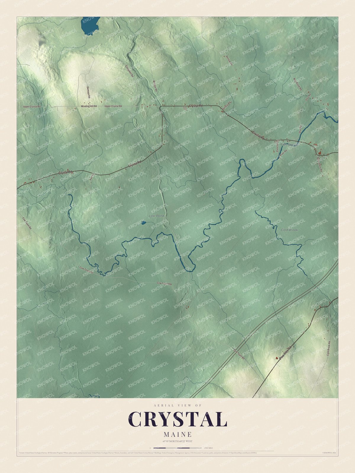
Click to explore a larger preview. The digital watermark does not appear on printed maps.
See it on a wall
The Crystal map as a framed print. Swipe for more.


Across the map
Crystal Road is printed on the map, and so is Upper Crystal Road. Pine Tree Road, Cow Team Road, Winding Hill Road and Bog Brook Road are printed too. Fish Stream, Lost Pond and Cold Brook are labeled on the map, and the smaller roads between them are drawn in as well.
This Crystal map makes a fine addition to an office, library or den, and it can help teach children the geography and history of the area. It’s made for everyone who calls Crystal home, from Crystal Road to the banks of Fish Stream, as it looks today. Zoom in on the preview above to explore the details, then click here to get your copy of the Crystal, Maine map.

Sources