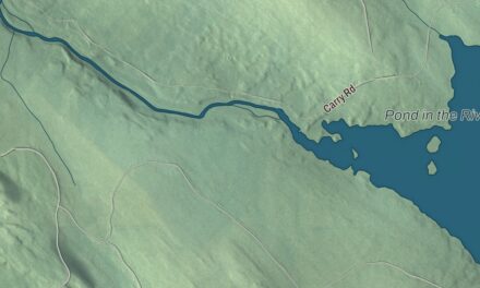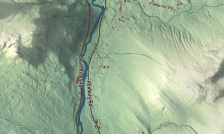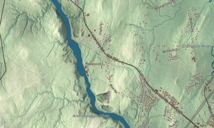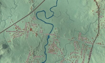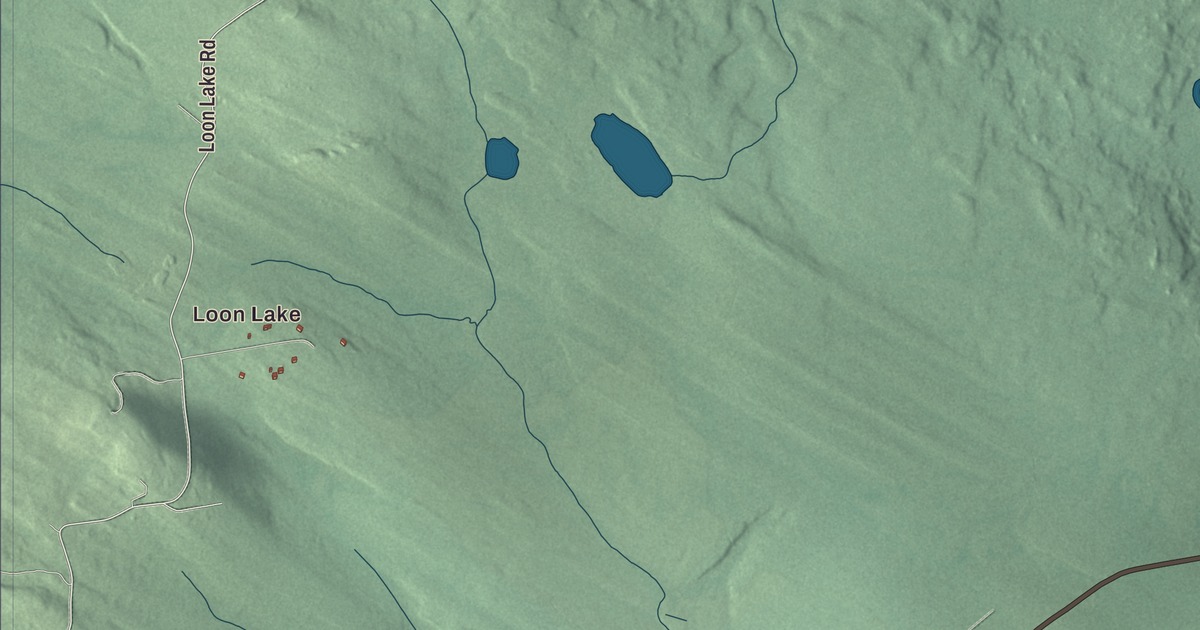
Loon Lake is the first name to find on this map of Dallas, Maine, with Saddleback Lake, Gull Pond and Haley Pond nearby. Stratton Road, Loon Lake Road, The Loop Road, Bacheider Lane, The Lynnway and Dallas Hill Road fill in the rest. Click here to purchase a print of this map for your wall.
Dallas is a plantation in Franklin County, with 304 people at the 2020 census.
KNOWOL made this map in 2026 from public survey data and gave it the look of an old atlas. The Census Bureau measures the plantation at 40.4 square miles, 1.4 of them water, and its files give the roads and the plantation line. United States Geological Survey elevation data shades the land, and Dallas has a listed elevation of 1,732 feet.
The plantation and its schoolhouse
Dallas Plantation was organized in 1845. The census counted 250 people here in 2000 and 304 in 2020.
The plantation’s town hall is the Upper Dallas School, a one-story wood-frame schoolhouse with clapboards, a front gable and a rubblestone foundation, set on the north side of Dallas Mountain Road. It’s the better preserved of the two district schoolhouses the community built that still stand. Town records are unclear about when it went up. A map from 1861 puts a school at or near the spot, but the town bought the land in 1888, and the building’s style belongs to the later 1800s. A second school, the Lower Dallas School, followed in 1895 and is a house now. Inside the Upper Dallas School, two narrow entry halls open into one large room with a raised platform, probably for the teacher’s desk, under pressed tin ceilings. Local lore holds that town meetings have been held there ever since it was built, although a 1939 WPA history said that use ended in 1929. It’s one of the plantation’s only surviving 19th-century buildings, and it was listed on the National Register of Historic Places in 1990.
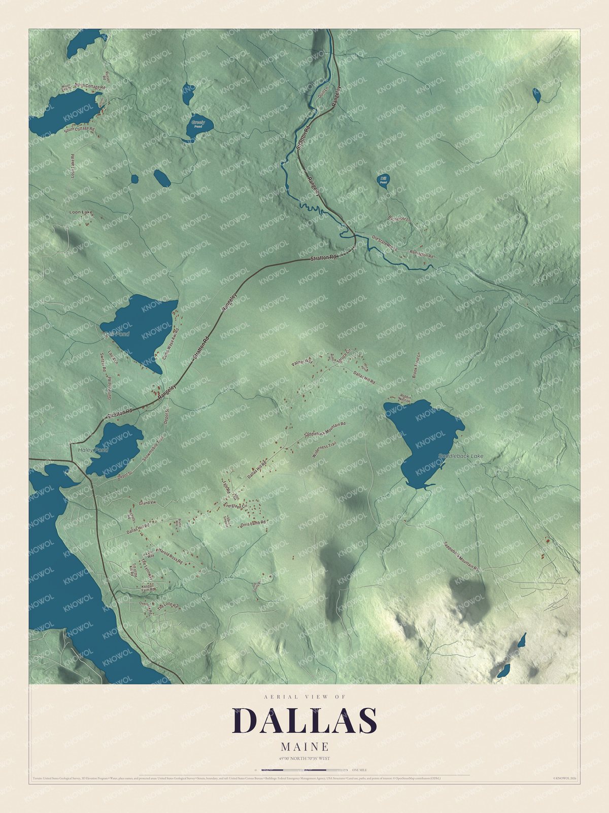
Click to explore a larger preview. The digital watermark does not appear on printed maps.
See it on a wall
The Dallas map as a framed print. Swipe for more.


Lakes and roads
Loon Lake is labeled on the map, and so are Saddleback Lake, Gull Pond and Haley Pond. Stratton Road and Loon Lake Road are printed, along with The Loop Road, Bacheider Lane, The Lynnway and Dallas Hill Road, and the smaller roads off them are drawn in as well.
This Dallas map makes a fine addition to an office, library or den, and it can help teach children the geography and history of the area. It’s made for everyone who calls Dallas home, from Loon Lake to Dallas Hill Road, as it looks today. Zoom in on the preview above to explore the details, then click here to get your copy of the Dallas, Maine map.

Sources
- Dallas Plantation, Maine, Wikipedia
- List of municipalities in Maine, Wikipedia
- Maine Register, State Year-Book and Legislative Manual (1920)
- Maine Register, State Year-Book and Legislative Manual (1920)
- Upper Dallas School, Wikipedia
- National Register of Historic Places listings in Franklin County, Maine, Wikipedia